Zwolle (/zəˈwɒli/ zə-WOL-ee) is a small town in Sabine Parish, Louisiana, United States. The population was 1,759 at the 2010 census, down from 1,783 in 2000. It was named after Zwolle, a Dutch city in Overijssel.
| Name: | Zwolle town |
|---|---|
| LSAD Code: | 43 |
| LSAD Description: | town (suffix) |
| State: | Louisiana |
| County: | Sabine Parish |
| Total Area: | 4.98 sq mi (12.90 km²) |
| Land Area: | 4.56 sq mi (11.82 km²) |
| Water Area: | 0.42 sq mi (1.09 km²) |
| Total Population: | 1,638 |
| Population Density: | 359.05/sq mi (138.63/km²) |
| FIPS code: | 2283685 |
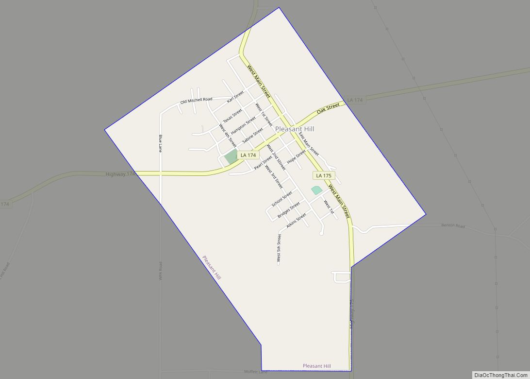
Online Interactive Map
Click on ![]() to view map in "full screen" mode.
to view map in "full screen" mode.
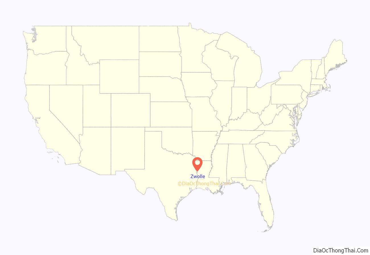
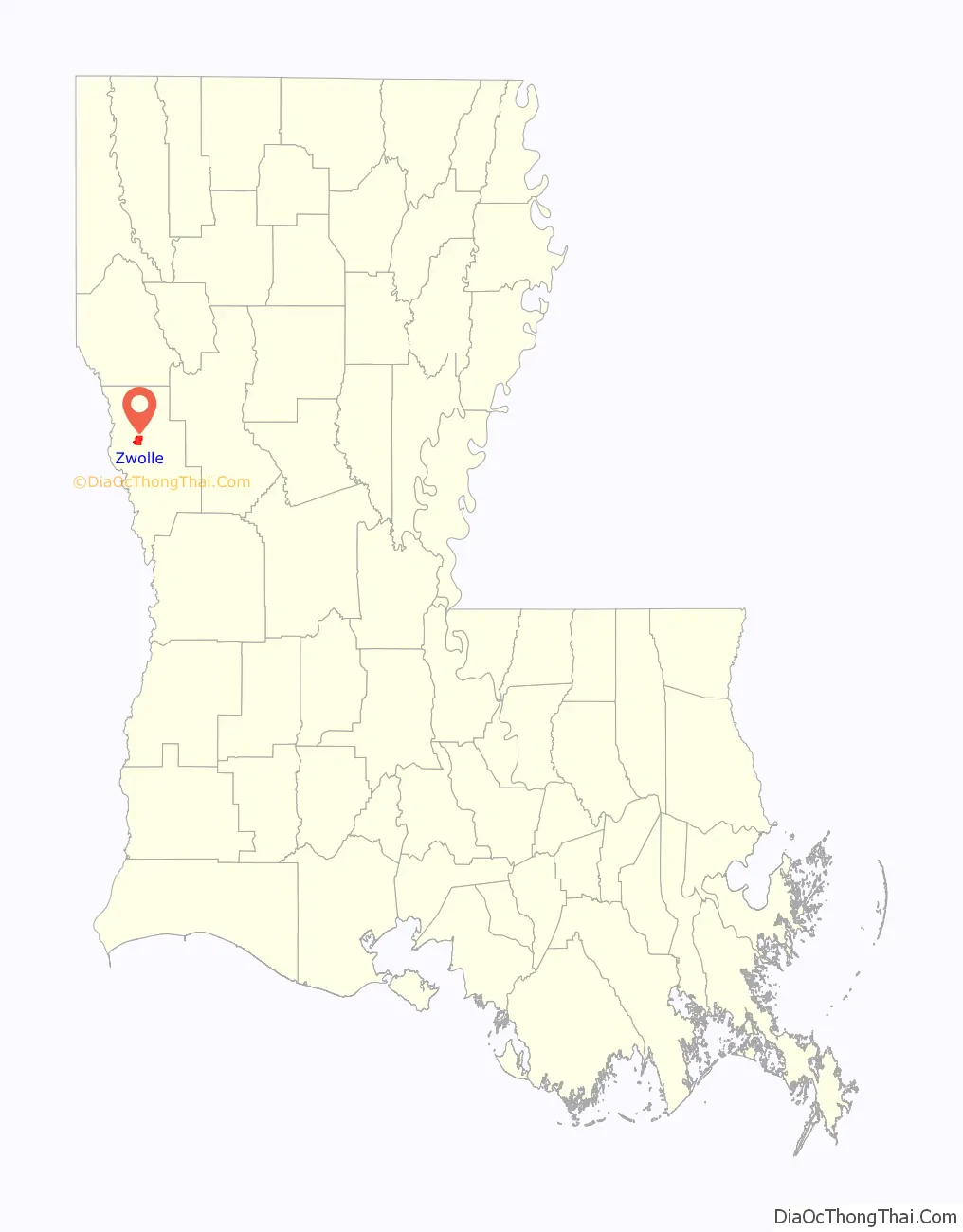
Zwolle location map. Where is Zwolle town?
History
The first inhabitants of the bowl-shaped area of land upon which the town of Zwolle is situated were the Mound Builders. Lured here for protection from storms, the “bowl” offered them protection. Prehistoric people built the dome-shaped mounds that line the banks of Bayou Scie and Bayou San Miguel, which form a hollow circle around the townsite. As Mound Builders, they were ancestors of North American Indians who inhabited the territory when the Europeans arrived.
Later, the area was colonized by Spain, which sent the earliest non-Indians to the territory. Las Cabezas, a Spanish mission church was built at Bayou Scie. Spanish soldiers and Native people intermarried over many generations, and Spanish was still spoken in the area until the 1970s. The town was originally called Vallecillo, which became the source of the name Bayou Scie.
The first English-speaking settlers arrived in Sabine Parish in 1824, via Natchitoches. These pioneers came chiefly from Mississippi, Alabama, Georgia, and the Carolinas. In 1871, many more of these settlers moved in and acquired land under the homestead act.
Arthur Stilwell built the Kansas City Southern Railroad (KCS) from Kansas City to Port Arthur, Texas. He had reached Van Buren, Arkansas, in 1893 when he ran out of funds. Stilwell went to Zwolle, the Netherlands, and met with a rich coffee merchant Jan De Goeijen. About 1896, Stilwell and De Goeijen were plotting a route to extend the KCS railway to the Gulf of Mexico. While visiting the area destined to become Zwolle, De Goeijen was impressed with St. Joseph Catholic Church. St. Joseph Catholic Church, established 1881, was a product of the early Spanish missions. De Goeijen sold a $3,000,000 stock issue for Stilwell’s railroad and he was permitted to name the place after his hometown and birthplace of Zwolle, a riverside city of currently over 130,000 population in the Netherlands.
On July 14, 1896, Teofilo “T.” Laroux, a community leader and descendant of the early families, donated 20 acres to the KCS for a railroad depot and town to be built. Paul M. Potts, a prominent cotton farmer donated an additional 22.05 acres on 10/15/1896. The Zwolle townsite was developed by the Arkansas Townsite Company and the official town charter was granted June 12, 1898. The original Kansas City Southern Depot, Zwolle opened October 26, 1896, and served until the present depot was reconstructed in about 1914 by the KCS.
The advent of the railroad brought new prosperity to the town and altered its destiny. Zwolle’s strategic location made it possible for the small town to flourish as a transportation center for lumber, oil and cotton production. Though no longer a functioning railroad depot, it remains significant to the history and posterity of the town. On December 23, 1970, the depot was donated to the town of Zwolle by the KCS. The depot was placed on the National Register of Historic Places by the United States Department of the Interior on August 7, 1989. In 2000, James Q. Salter made the depot his office while writing the town history book, Zwolle, Louisiana: Our Story.
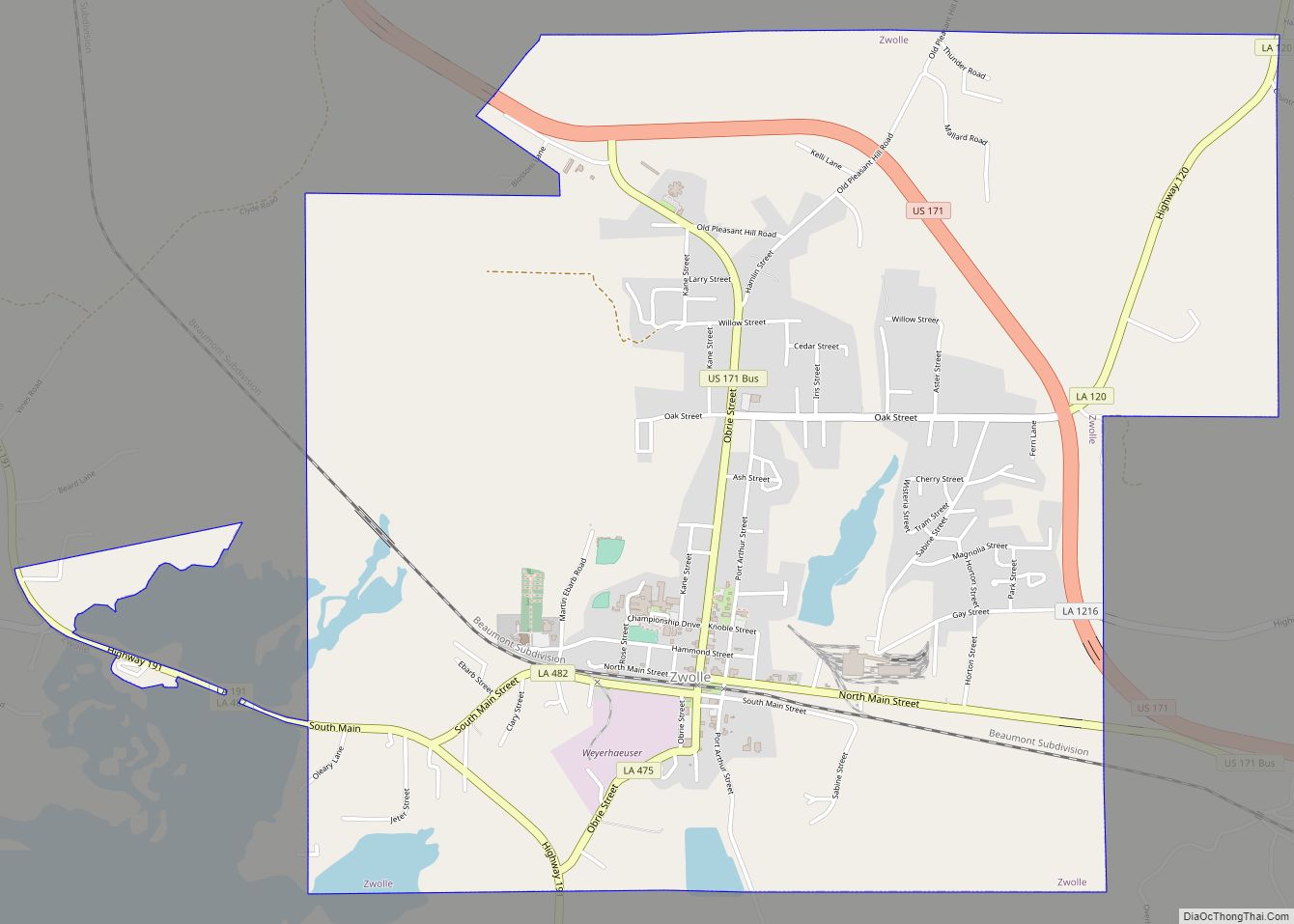
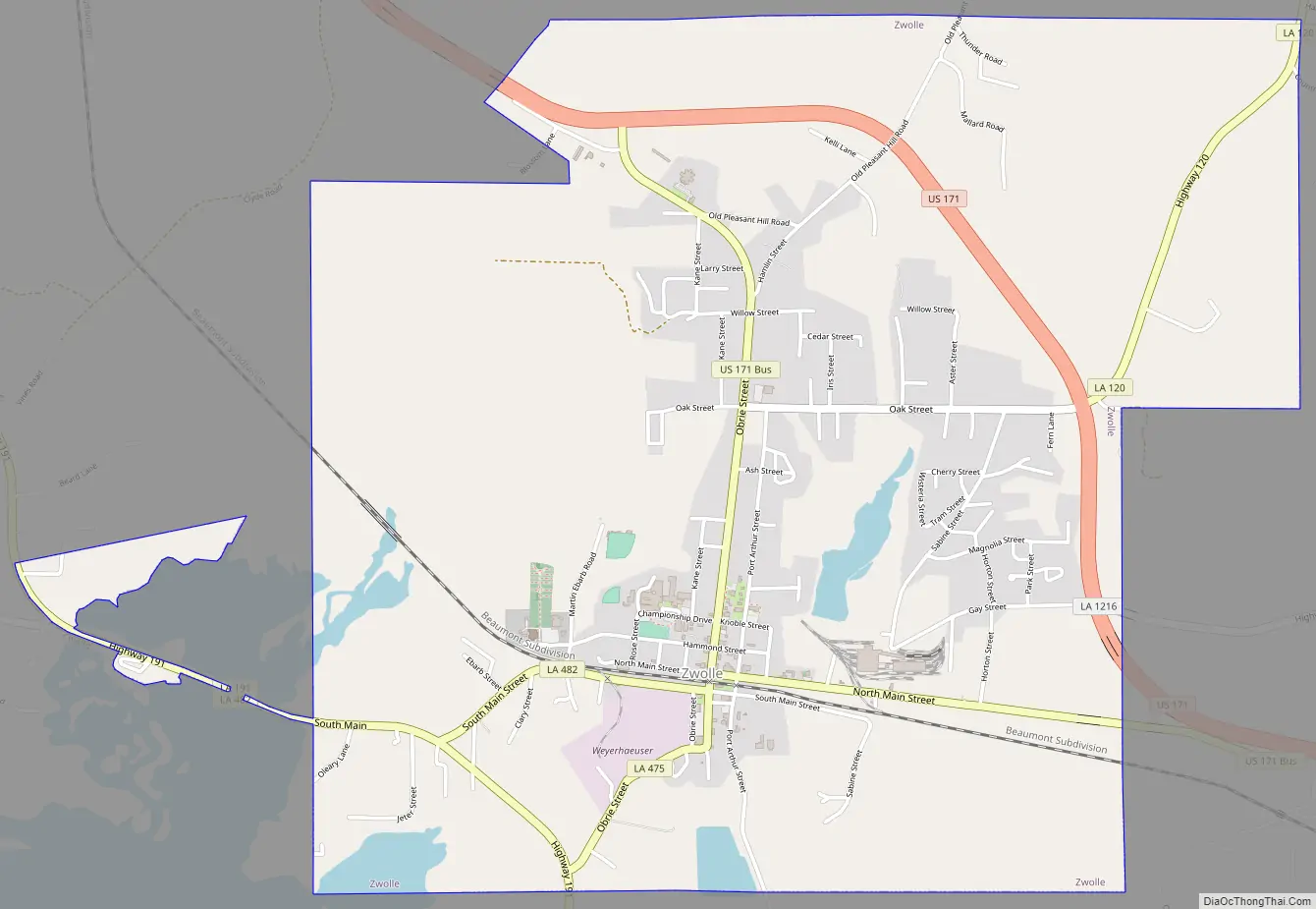
Zwolle Road Map
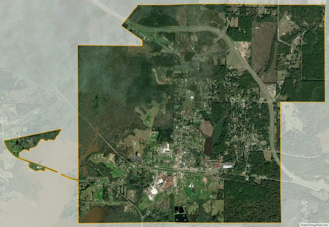
Zwolle city Satellite Map
Geography
Zwolle is located at 31°38′6″N 93°38′33″W / 31.63500°N 93.64250°W / 31.63500; -93.64250 (31.635134, -93.642560). According to the United States Census Bureau, the town has a total area of 3.7 square miles (9.5 km), of which 3.2 square miles (8.4 km) is land and 0.4 square mile (1.1 km) (11.99%) is water.
See also
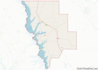
Map of Louisiana State and its subdivision:- Acadia
- Allen
- Ascension
- Assumption
- Avoyelles
- Beauregard
- Bienville
- Bossier
- Caddo
- Calcasieu
- Caldwell
- Cameron
- Catahoula
- Claiborne
- Concordia
- De Soto
- East Baton Rouge
- East Carroll
- East Feliciana
- Evangeline
- Franklin
- Grant
- Iberia
- Iberville
- Jackson
- Jefferson
- Jefferson Davis
- La Salle
- Lafayette
- Lafourche
- Lincoln
- Livingston
- Madison
- Morehouse
- Natchitoches
- Orleans
- Ouachita
- Plaquemines
- Pointe Coupee
- Rapides
- Red River
- Richland
- Sabine
- Saint Bernard
- Saint Charles
- Saint Helena
- Saint James
- Saint John the Baptist
- Saint Landry
- Saint Martin
- Saint Mary
- Saint Tammany
- Tangipahoa
- Tensas
- Terrebonne
- Union
- Vermilion
- Vernon
- Washington
- Webster
- West Baton Rouge
- West Carroll
- West Feliciana
- Winn
- Alabama
- Alaska
- Arizona
- Arkansas
- California
- Colorado
- Connecticut
- Delaware
- District of Columbia
- Florida
- Georgia
- Hawaii
- Idaho
- Illinois
- Indiana
- Iowa
- Kansas
- Kentucky
- Louisiana
- Maine
- Maryland
- Massachusetts
- Michigan
- Minnesota
- Mississippi
- Missouri
- Montana
- Nebraska
- Nevada
- New Hampshire
- New Jersey
- New Mexico
- New York
- North Carolina
- North Dakota
- Ohio
- Oklahoma
- Oregon
- Pennsylvania
- Rhode Island
- South Carolina
- South Dakota
- Tennessee
- Texas
- Utah
- Vermont
- Virginia
- Washington
- West Virginia
- Wisconsin
- Wyoming