Sterlington is a town in northern Ouachita Parish, Louisiana, United States, near the boundary with Union Parish. At the 2010 census, the population was 1,594. In the 2018 census estimates, the population rose to 2,724. In 2014, Sterlington was the fastest-growing community in Northeast Louisiana.
| Name: | Sterlington town |
|---|---|
| LSAD Code: | 43 |
| LSAD Description: | town (suffix) |
| State: | Louisiana |
| County: | Ouachita Parish |
| Incorporated: | 1961 |
| Elevation: | 56 ft (17 m) |
| Total Area: | 2.83 sq mi (7.34 km²) |
| Land Area: | 2.83 sq mi (7.34 km²) |
| Water Area: | 0.00 sq mi (0.00 km²) |
| Total Population: | 1,980 |
| Population Density: | 699.15/sq mi (269.90/km²) |
| ZIP code: | 71280 |
| Area code: | 318 |
| FIPS code: | 2273255 |
| Website: | www.townofsterlington.com |
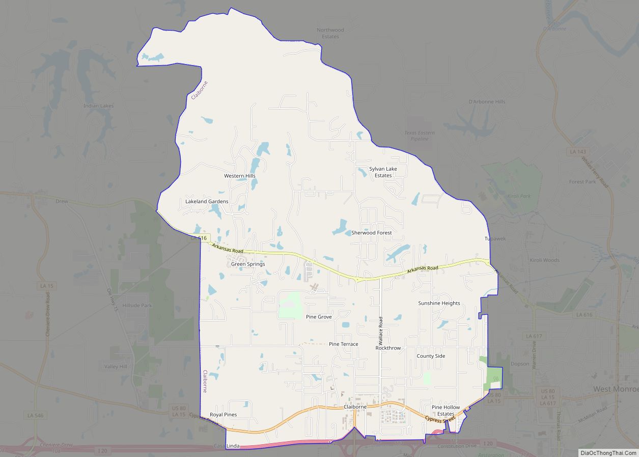
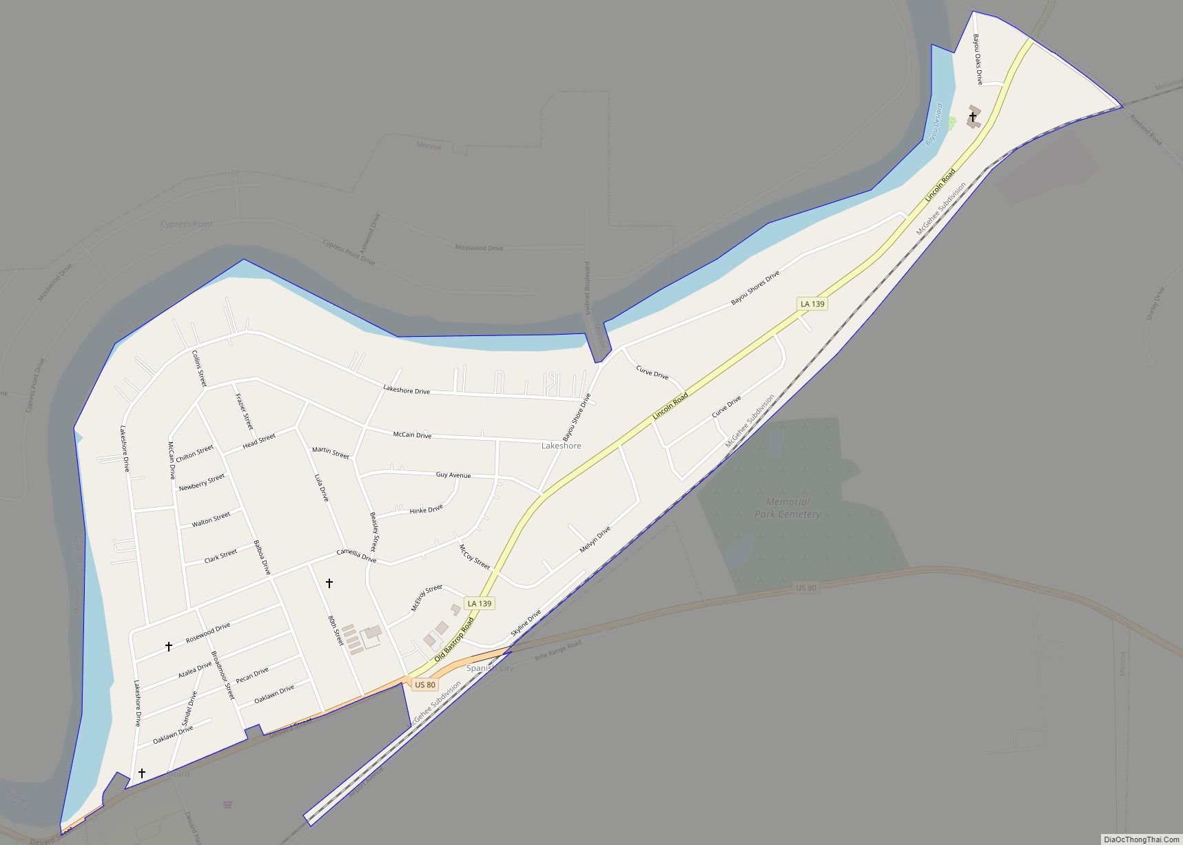
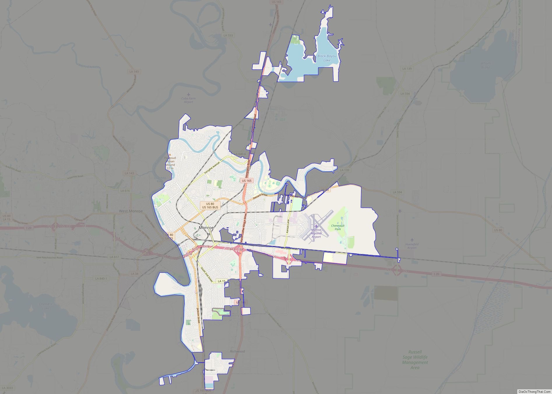
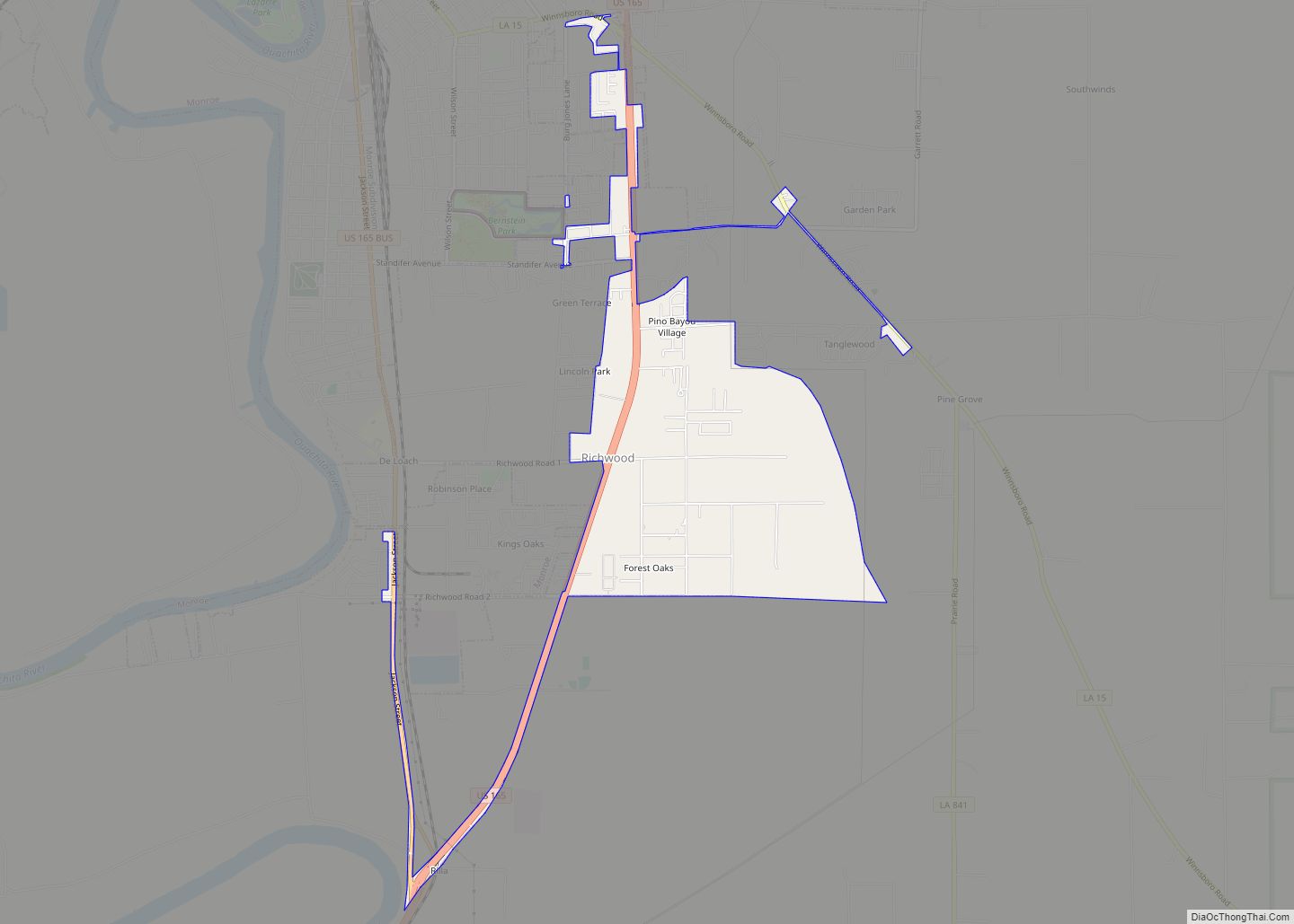
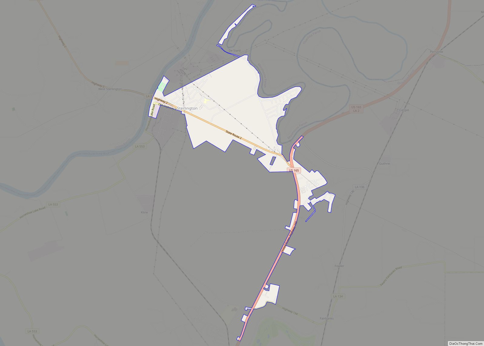
Online Interactive Map
Click on ![]() to view map in "full screen" mode.
to view map in "full screen" mode.
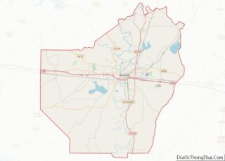
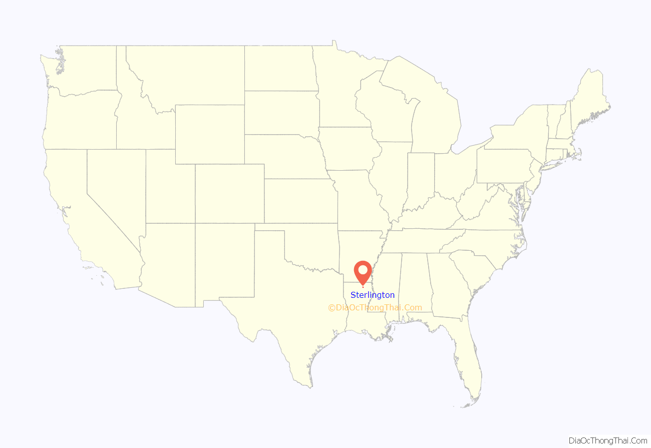
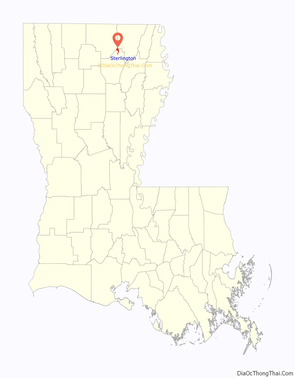
Sterlington location map. Where is Sterlington town?
History
Former Mayor Vern Breland was subsequently arrested for malfeasance in office in April 2020.
In 2022, the U.S. Securities and Exchange Commission charged the town of Sterlington, its former mayor, and the town’s advise with misleading investors in the sale of $5.8 million in municipal bonds in 2017 and 2018.
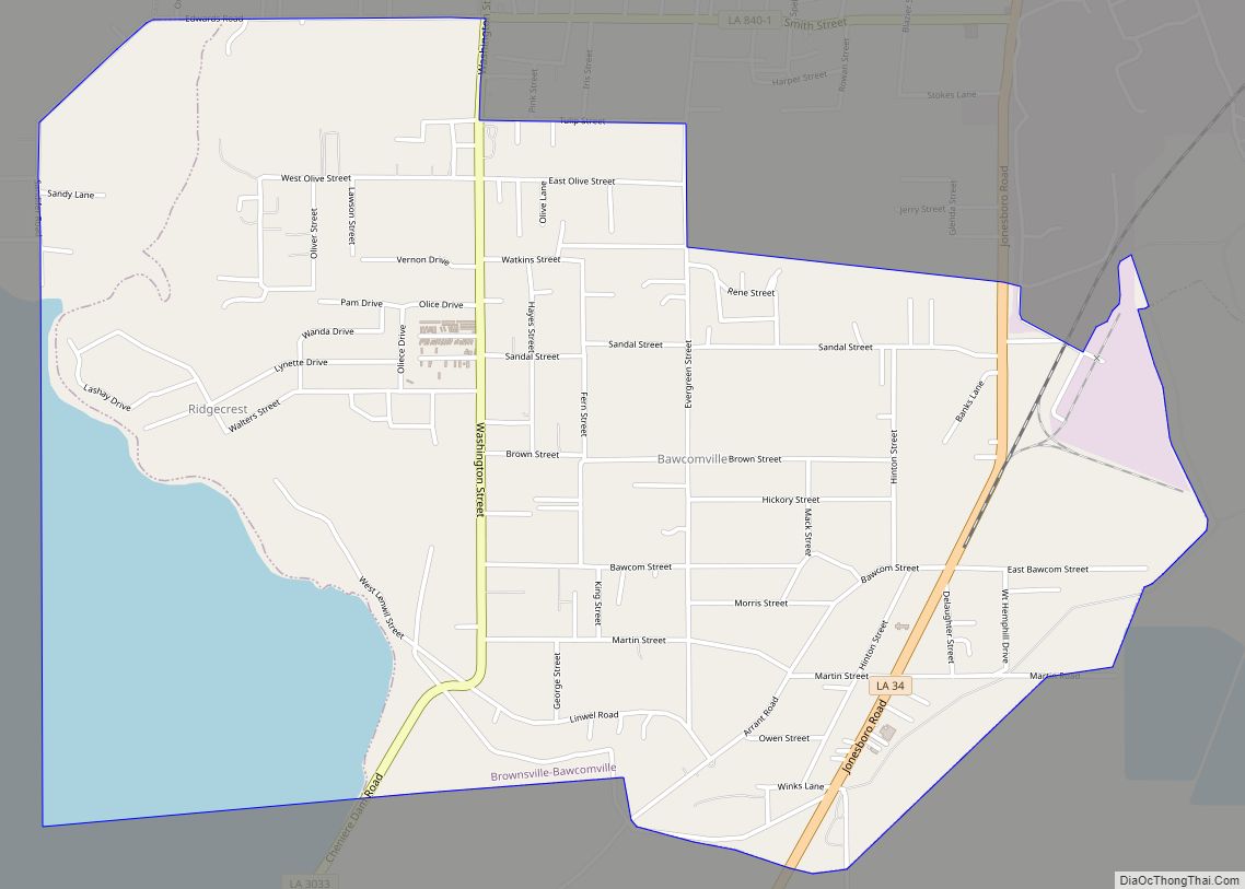
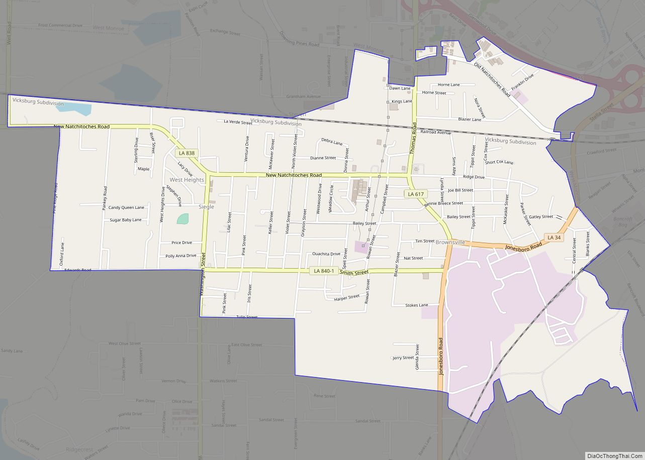
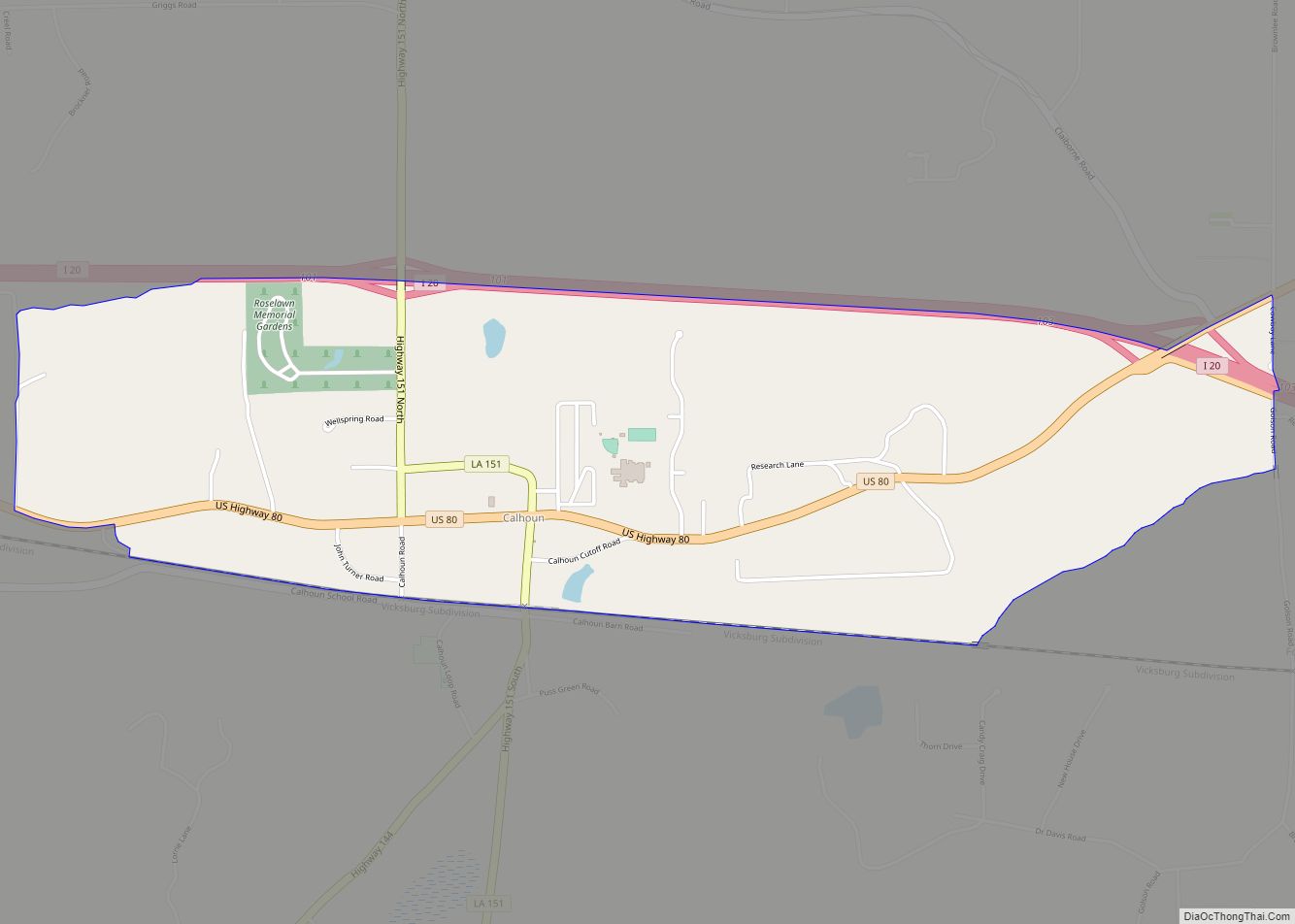
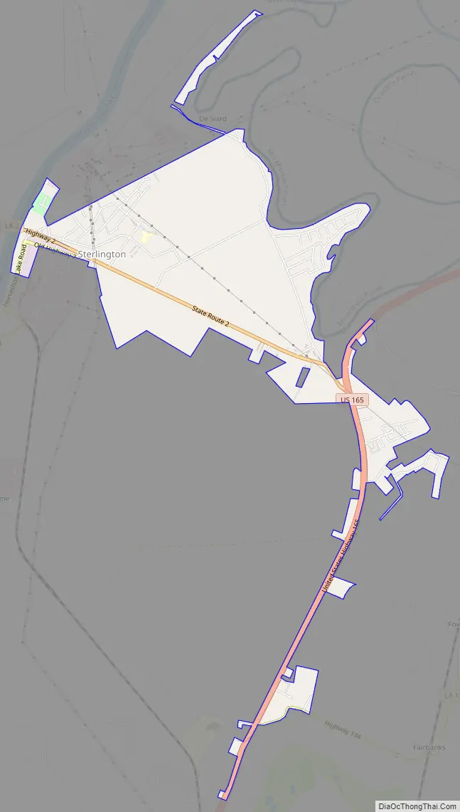
Sterlington Road Map
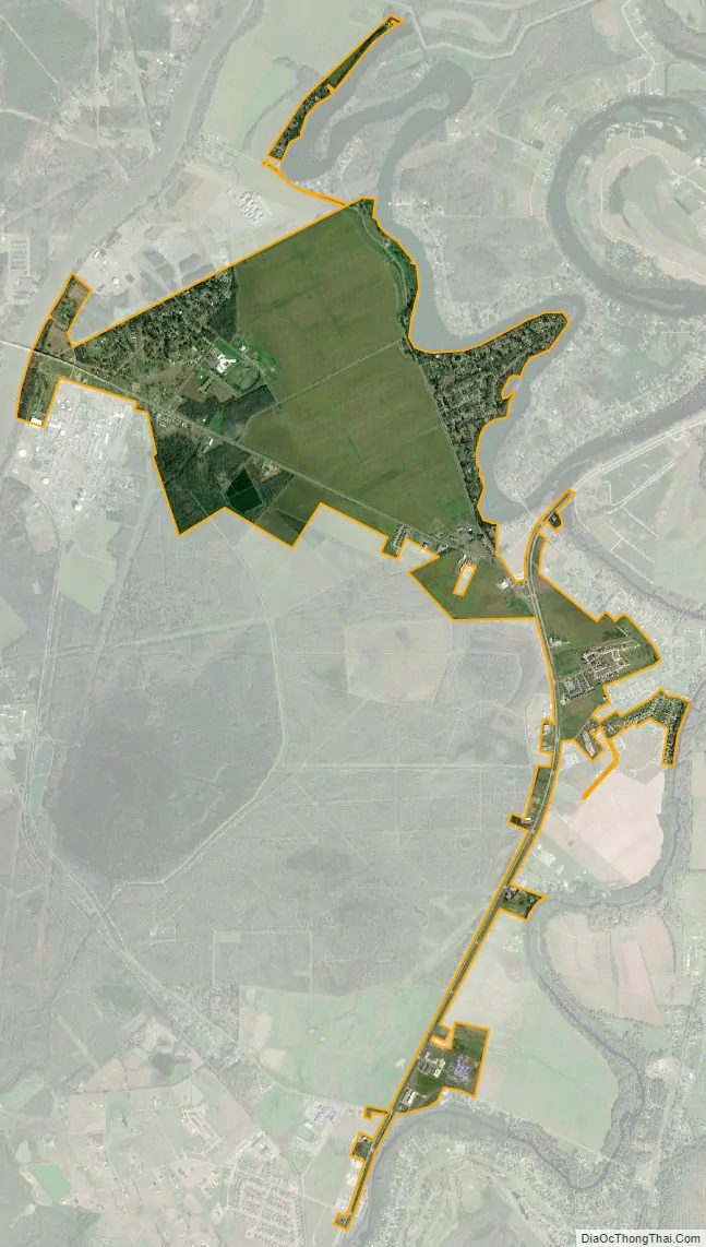
Sterlington city Satellite Map
Geography
According to the United States Census Bureau, the town has a total area of 2.3 square miles (6.0 km), of which 2.3 square miles (5.9 km) is land and 0.43% is water.
See also
Map of Louisiana State and its subdivision:- Acadia
- Allen
- Ascension
- Assumption
- Avoyelles
- Beauregard
- Bienville
- Bossier
- Caddo
- Calcasieu
- Caldwell
- Cameron
- Catahoula
- Claiborne
- Concordia
- De Soto
- East Baton Rouge
- East Carroll
- East Feliciana
- Evangeline
- Franklin
- Grant
- Iberia
- Iberville
- Jackson
- Jefferson
- Jefferson Davis
- La Salle
- Lafayette
- Lafourche
- Lincoln
- Livingston
- Madison
- Morehouse
- Natchitoches
- Orleans
- Ouachita
- Plaquemines
- Pointe Coupee
- Rapides
- Red River
- Richland
- Sabine
- Saint Bernard
- Saint Charles
- Saint Helena
- Saint James
- Saint John the Baptist
- Saint Landry
- Saint Martin
- Saint Mary
- Saint Tammany
- Tangipahoa
- Tensas
- Terrebonne
- Union
- Vermilion
- Vernon
- Washington
- Webster
- West Baton Rouge
- West Carroll
- West Feliciana
- Winn
- Alabama
- Alaska
- Arizona
- Arkansas
- California
- Colorado
- Connecticut
- Delaware
- District of Columbia
- Florida
- Georgia
- Hawaii
- Idaho
- Illinois
- Indiana
- Iowa
- Kansas
- Kentucky
- Louisiana
- Maine
- Maryland
- Massachusetts
- Michigan
- Minnesota
- Mississippi
- Missouri
- Montana
- Nebraska
- Nevada
- New Hampshire
- New Jersey
- New Mexico
- New York
- North Carolina
- North Dakota
- Ohio
- Oklahoma
- Oregon
- Pennsylvania
- Rhode Island
- South Carolina
- South Dakota
- Tennessee
- Texas
- Utah
- Vermont
- Virginia
- Washington
- West Virginia
- Wisconsin
- Wyoming