Mount Lebanon is a town in Bienville Parish, Louisiana, United States. The population was 83 at the 2010 census.
| Name: | Mount Lebanon town |
|---|---|
| LSAD Code: | 43 |
| LSAD Description: | town (suffix) |
| State: | Louisiana |
| County: | Bienville Parish |
| Elevation: | 338 ft (103 m) |
| Total Area: | 4.03 sq mi (10.44 km²) |
| Land Area: | 4.03 sq mi (10.44 km²) |
| Water Area: | 0.00 sq mi (0.00 km²) |
| Total Population: | 66 |
| Population Density: | 16.38/sq mi (6.32/km²) |
| Area code: | 318 |
| FIPS code: | 2252740 |
Online Interactive Map
Click on ![]() to view map in "full screen" mode.
to view map in "full screen" mode.
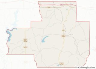
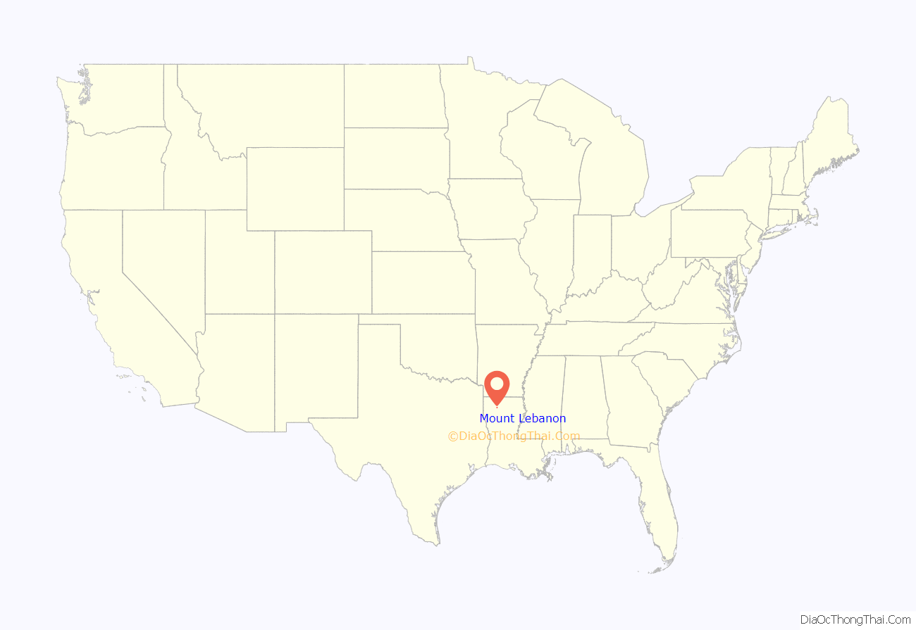
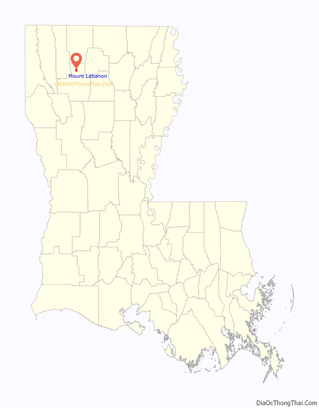
Mount Lebanon location map. Where is Mount Lebanon town?
History
Mount Lebanon was probably the first permanent settlement in what is now Bienville Parish. Its pioneers were Baptists from South Carolina who quickly established a church and school. The school became Mount Lebanon University in 1853, but closed during the Civil War to serve as a high school and a Confederate hospital. After the war the school reopened. After years of struggling, it was consolidated in 1906 through the Louisiana Baptist Convention into Louisiana College in Pineville in Rapides Parish in central Louisiana.
The Mount Lebanon Baptist Church was organized in 1837, and the Louisiana Baptist Convention was established there in 1848. One of the Baptist organizers in Mount Lebanon was pastor George Washington Baines, maternal great-grandfather of future U.S. President Lyndon B. Johnson. The church building is still in use. The sanctuary is separated down the middle; men would sit on one side of the divide, women on the other. There is a balcony where the slaves were seated.
There are eight houses in the town that are on the National Register of Historic Places, including a building once used as a stagecoach stop and hotel. That was established by Emily Antoinette Bryan Smith around 1848 and is still owned by her direct descendants.
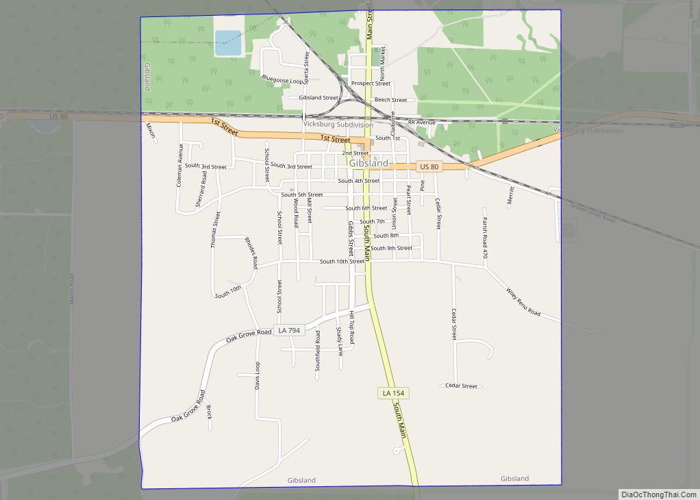
After the railroad was built through Gibsland, 3 miles (5 km) north, Mount Lebanon began to decline in population and economic opportunity. The post office was decommissioned in the 1950s.
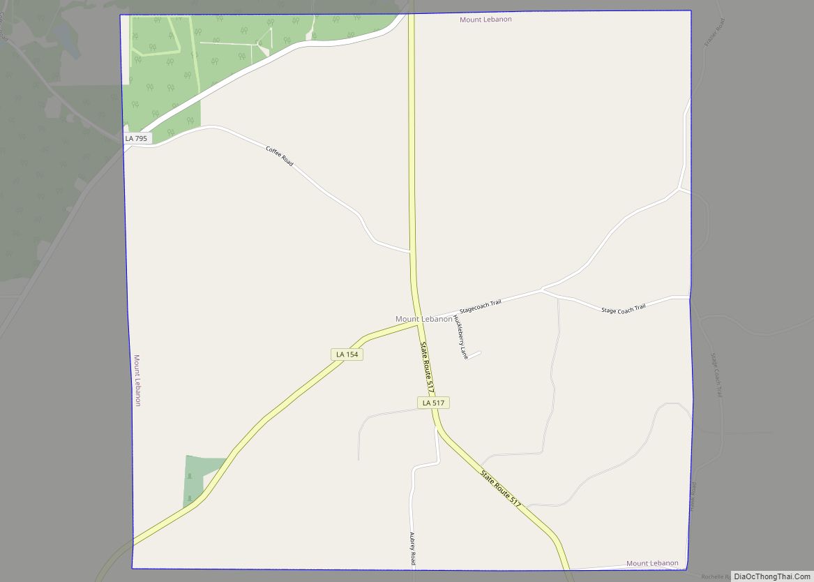
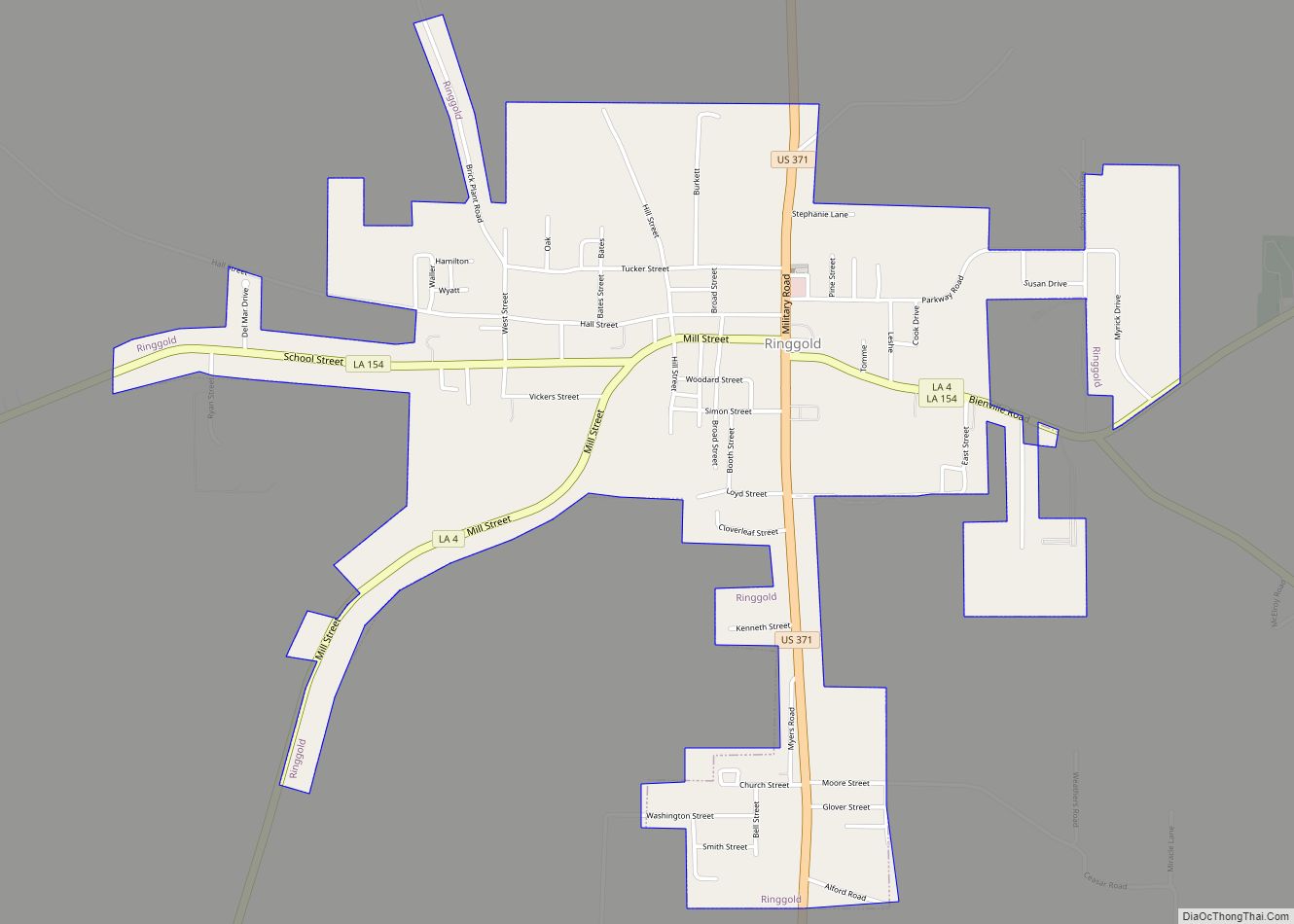
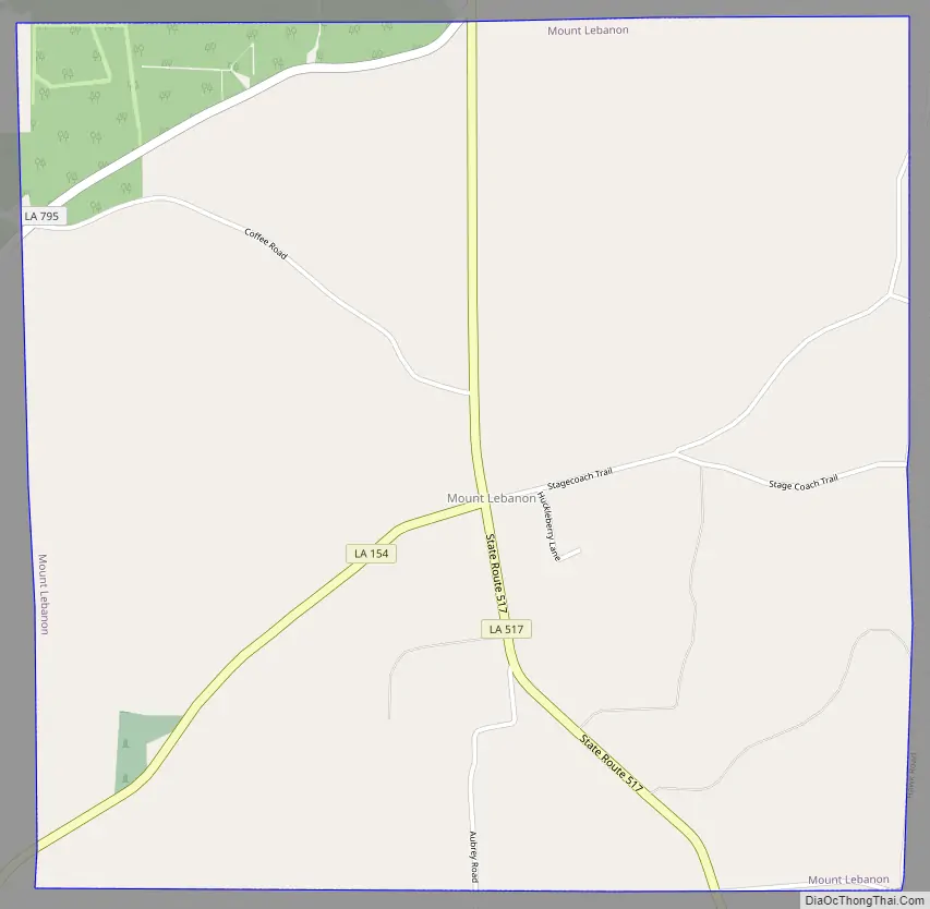
Mount Lebanon Road Map
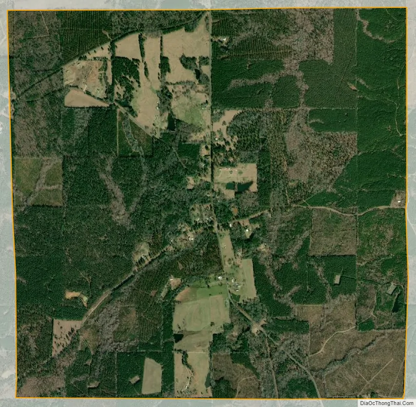
Mount Lebanon city Satellite Map
Geography
Mount Lebanon is located in northern Bienville Parish at 32°30′42″N 93°2′29″W / 32.51167°N 93.04139°W / 32.51167; -93.04139 (32.511680, -93.041382).
According to the United States Census Bureau, the town has a total area of 4.0 square miles (10.4 km), all land.
See also
Map of Louisiana State and its subdivision:- Acadia
- Allen
- Ascension
- Assumption
- Avoyelles
- Beauregard
- Bienville
- Bossier
- Caddo
- Calcasieu
- Caldwell
- Cameron
- Catahoula
- Claiborne
- Concordia
- De Soto
- East Baton Rouge
- East Carroll
- East Feliciana
- Evangeline
- Franklin
- Grant
- Iberia
- Iberville
- Jackson
- Jefferson
- Jefferson Davis
- La Salle
- Lafayette
- Lafourche
- Lincoln
- Livingston
- Madison
- Morehouse
- Natchitoches
- Orleans
- Ouachita
- Plaquemines
- Pointe Coupee
- Rapides
- Red River
- Richland
- Sabine
- Saint Bernard
- Saint Charles
- Saint Helena
- Saint James
- Saint John the Baptist
- Saint Landry
- Saint Martin
- Saint Mary
- Saint Tammany
- Tangipahoa
- Tensas
- Terrebonne
- Union
- Vermilion
- Vernon
- Washington
- Webster
- West Baton Rouge
- West Carroll
- West Feliciana
- Winn
- Alabama
- Alaska
- Arizona
- Arkansas
- California
- Colorado
- Connecticut
- Delaware
- District of Columbia
- Florida
- Georgia
- Hawaii
- Idaho
- Illinois
- Indiana
- Iowa
- Kansas
- Kentucky
- Louisiana
- Maine
- Maryland
- Massachusetts
- Michigan
- Minnesota
- Mississippi
- Missouri
- Montana
- Nebraska
- Nevada
- New Hampshire
- New Jersey
- New Mexico
- New York
- North Carolina
- North Dakota
- Ohio
- Oklahoma
- Oregon
- Pennsylvania
- Rhode Island
- South Carolina
- South Dakota
- Tennessee
- Texas
- Utah
- Vermont
- Virginia
- Washington
- West Virginia
- Wisconsin
- Wyoming