New Iberia (French: La Nouvelle-Ibérie; Spanish: Nueva Iberia) is the largest city in and parish seat of Iberia Parish in the U.S. state of Louisiana. The city of New Iberia is located approximately 21 miles (34 kilometers) southeast of Lafayette, and forms part of the Lafayette metropolitan statistical area in the region of Acadiana. The 2020 United States census tabulated a population of 28,555. New Iberia is served by a major four lane highway, being U.S. 90 (future Interstate 49), and has its own general aviation airfield, Acadiana Regional Airport. Scheduled passenger and cargo airline service is available via the nearby Lafayette Regional Airport located adjacent to U.S. 90 in Lafayette.
| Name: | New Iberia city |
|---|---|
| LSAD Code: | 25 |
| LSAD Description: | city (suffix) |
| State: | Louisiana |
| County: | Iberia Parish |
| Total Area: | 11.25 sq mi (29.15 km²) |
| Land Area: | 11.14 sq mi (28.85 km²) |
| Water Area: | 0.11 sq mi (0.29 km²) |
| Total Population: | 28,555 |
| Population Density: | 2,563.06/sq mi (989.64/km²) |
| ZIP code: | 70560, 70562-70563 |
| FIPS code: | 2254035 |
| Website: | www.cityofnewiberia.com/site.php |
Online Interactive Map
Click on ![]() to view map in "full screen" mode.
to view map in "full screen" mode.
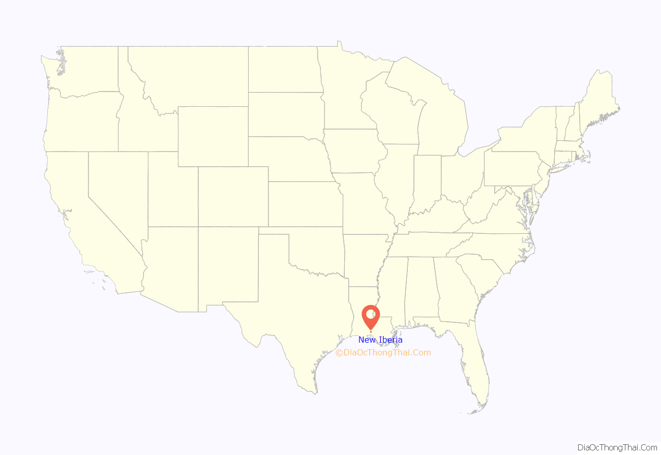
New Iberia location map. Where is New Iberia city?
History
New Iberia dates its founding to the spring of 1779, when a group of some 500 colonists (Malagueños) from Spain, led by Lt. Col. Francisco Bouligny, came up Bayou Teche and settled around what became known as Spanish Lake.
The Spanish settlers called the town “Nueva Iberia” in honor of the Iberian Peninsula; French-speakers referred to the town as “Nouvelle Ibérie” while the English settlers arriving after the Louisiana Purchase called it “New Town.” In 1814, the U.S. government opened a post office in the town, officially recognizing the name as New Iberia, but postmarks from 1802 show the town being called “Nova Iberia” (Latin for “new”). The town was incorporated as the “Town of Iberia” in 1839, but the state legislature amended the town’s charter in 1847, recognizing New Iberia as the town’s name.
In 1868, Iberia Parish was established, and New Iberia became the seat of parish government. At first, only rented space served for the courthouse. State senator Samuel Wakefield and his family fled to New Orleans after their son was lynched by a white mob. By 1884 a new courthouse was completed on a landscaped lot in downtown New Iberia, at the present-day site of Bouligny Plaza. That courthouse served Iberia Parish until 1940. That year the current courthouse was built along Iberia Street, two blocks from the New Iberia downtown commercial district.
In September 2008, New Iberia was struck by Hurricane Ike. The lakes overflowed and filled the city, flooding it under several feet of dirty, brown water. On December 14, 2022, the southeastern part of the city was heavily damaged by a high-end EF2 tornado, injuring 16 people.
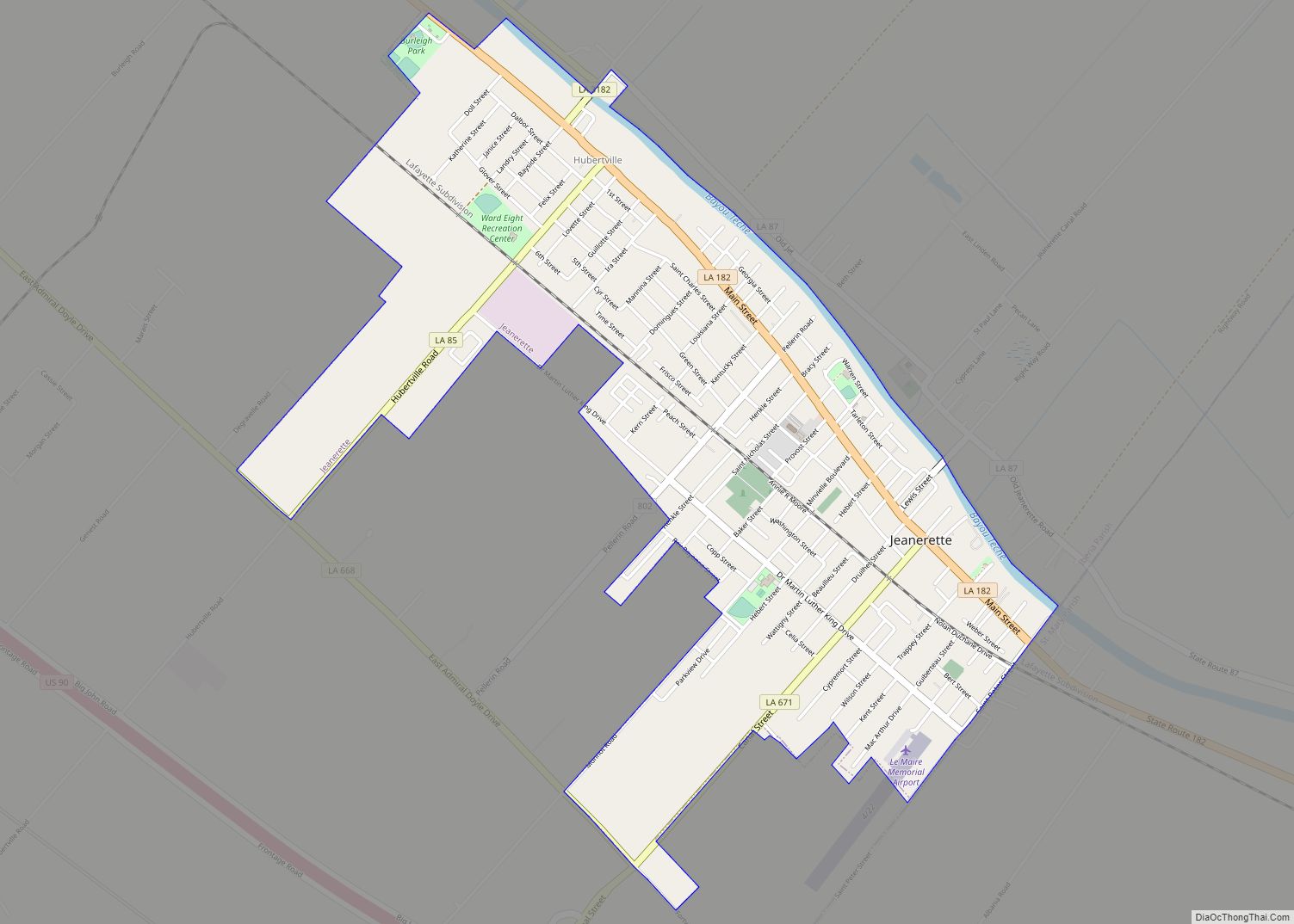
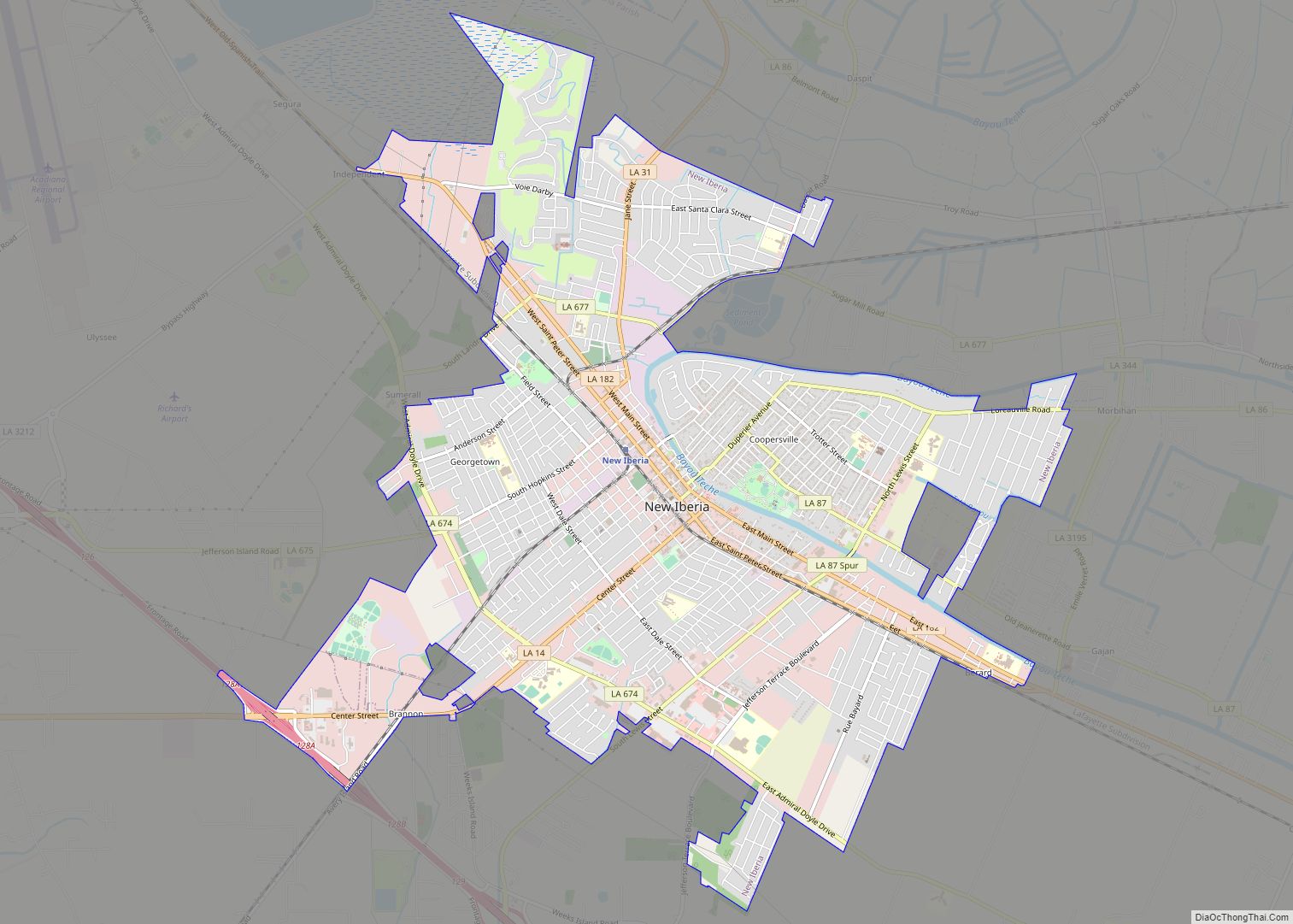
New Iberia Road Map
New Iberia city Satellite Map
Geography
New Iberia is located in southern Louisiana, in the Acadiana region. The city of New Iberia is a part of the Lafayette metropolitan area. According to the United States Census Bureau, the city has a total area of 10.6 square miles (27.4 km), all land. In 2000, the population density was 3,088.8 inhabitants per square mile (1,192.6/km). There were 12,880 housing units at an average density of 1,219.5 per square mile (470.9/km). New Iberia lies approximately 16 to 20 feet above sea level.
Among the lakes near the city is Lake Peigneur, which was formerly a 10-foot (3.0 m) deep freshwater lake until a 1980 disaster involving oil drilling and a salt mine. The lake is now a 1,300-foot (400 m) deep salt water lake, having been refilled by the Gulf of Mexico via the Delcambre Canal. There is also Lake Tasse, better known as Spanish Lake. This region has many natural features of interest, such as Avery Island, famous for its Tabasco sauce factory, deposits of rock salt, and Jungle Gardens.
Climate
New Iberia enjoys a sub-tropical climate with above average rainfall. As of 2021, annual average high temperature is 79 °F (26 °C) and the annual low is 59 °F (15 °C).
See also
Map of Louisiana State and its subdivision:- Acadia
- Allen
- Ascension
- Assumption
- Avoyelles
- Beauregard
- Bienville
- Bossier
- Caddo
- Calcasieu
- Caldwell
- Cameron
- Catahoula
- Claiborne
- Concordia
- De Soto
- East Baton Rouge
- East Carroll
- East Feliciana
- Evangeline
- Franklin
- Grant
- Iberia
- Iberville
- Jackson
- Jefferson
- Jefferson Davis
- La Salle
- Lafayette
- Lafourche
- Lincoln
- Livingston
- Madison
- Morehouse
- Natchitoches
- Orleans
- Ouachita
- Plaquemines
- Pointe Coupee
- Rapides
- Red River
- Richland
- Sabine
- Saint Bernard
- Saint Charles
- Saint Helena
- Saint James
- Saint John the Baptist
- Saint Landry
- Saint Martin
- Saint Mary
- Saint Tammany
- Tangipahoa
- Tensas
- Terrebonne
- Union
- Vermilion
- Vernon
- Washington
- Webster
- West Baton Rouge
- West Carroll
- West Feliciana
- Winn
- Alabama
- Alaska
- Arizona
- Arkansas
- California
- Colorado
- Connecticut
- Delaware
- District of Columbia
- Florida
- Georgia
- Hawaii
- Idaho
- Illinois
- Indiana
- Iowa
- Kansas
- Kentucky
- Louisiana
- Maine
- Maryland
- Massachusetts
- Michigan
- Minnesota
- Mississippi
- Missouri
- Montana
- Nebraska
- Nevada
- New Hampshire
- New Jersey
- New Mexico
- New York
- North Carolina
- North Dakota
- Ohio
- Oklahoma
- Oregon
- Pennsylvania
- Rhode Island
- South Carolina
- South Dakota
- Tennessee
- Texas
- Utah
- Vermont
- Virginia
- Washington
- West Virginia
- Wisconsin
- Wyoming
