Paincourtville is a census-designated place (CDP) in Assumption Parish, Louisiana, United States. The population was 911 at the 2010 census.
| Name: | Paincourtville CDP |
|---|---|
| LSAD Code: | 57 |
| LSAD Description: | CDP (suffix) |
| State: | Louisiana |
| County: | Assumption Parish |
| Elevation: | 16 ft (5 m) |
| Total Area: | 1.74 sq mi (4.50 km²) |
| Land Area: | 1.74 sq mi (4.50 km²) |
| Water Area: | 0.00 sq mi (0.00 km²) |
| Total Population: | 857 |
| Population Density: | 492.81/sq mi (190.27/km²) |
| Area code: | 985 |
| FIPS code: | 2258745 |
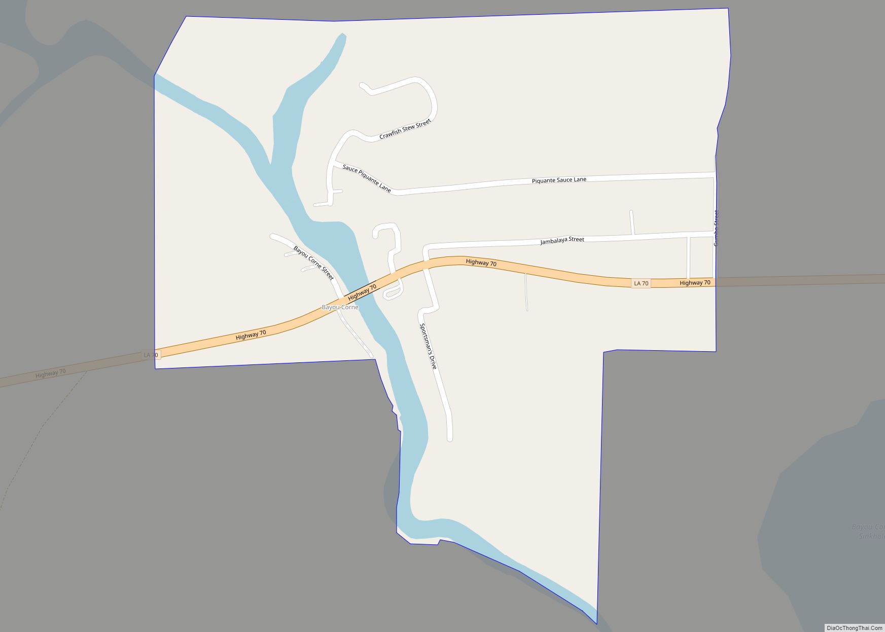
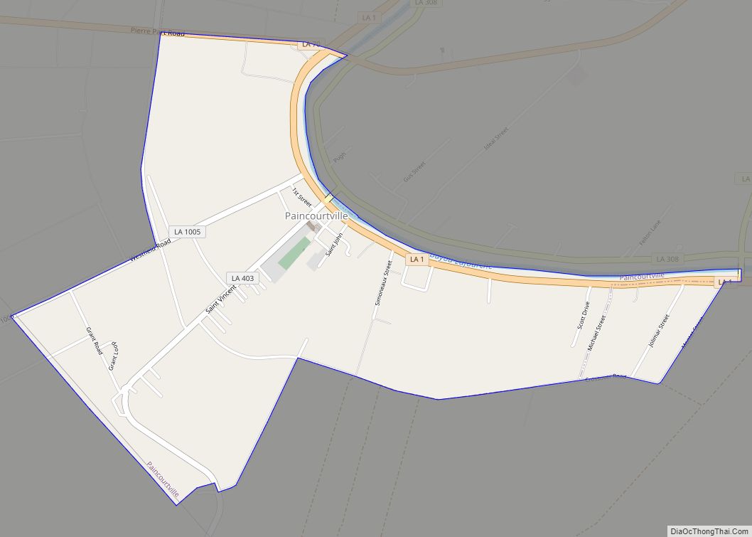
Online Interactive Map
Click on ![]() to view map in "full screen" mode.
to view map in "full screen" mode.
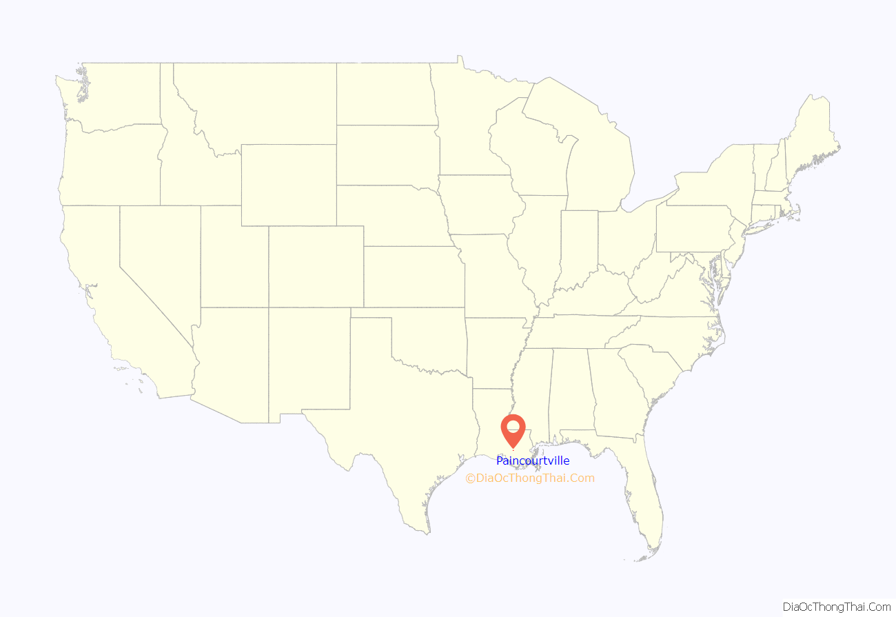
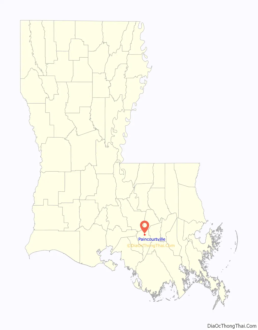
Paincourtville location map. Where is Paincourtville CDP?
History
Legend says an early traveler, unable to buy a single loaf of bread there, facetiously called the place “short of bread town”, which translates to Paincourtville.
The first permanent settlements in this region were made by the French and Spanish (including Isleños), circa the mid-18th century along Bayou Lafourche, between the present towns of Donaldsonville and Napoleonville. From 1755 to 1764, the population was increased by the immigration of the exiled Acadians who emigrated to the area, clearing the land and building homes. Many of their descendants remain in the parish today.
On a plot donated by Elizabeth Dugas, St. Elizabeth’s Church was built in 1840. Parishioners promptly rebuilt their church after a fire in 1854. In 1903 a third structure, still in use, was completed. Nearby on a special steel scaffolding is the church bell, too large for either of the church’s two towers. It was brought from France.
Paincourtville Road Map
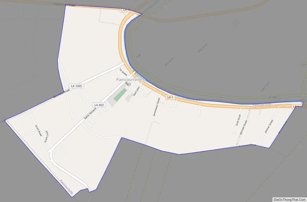
Paincourtville city Satellite Map

Geography
Paincourtville is located at 29°59′28″N 91°3′35″W / 29.99111°N 91.05972°W / 29.99111; -91.05972 (29.990994, -91.059639).
According to the United States Census Bureau, the CDP has a total area of 1.7 square miles (4.5 km), all land.
See also
Map of Louisiana State and its subdivision:- Acadia
- Allen
- Ascension
- Assumption
- Avoyelles
- Beauregard
- Bienville
- Bossier
- Caddo
- Calcasieu
- Caldwell
- Cameron
- Catahoula
- Claiborne
- Concordia
- De Soto
- East Baton Rouge
- East Carroll
- East Feliciana
- Evangeline
- Franklin
- Grant
- Iberia
- Iberville
- Jackson
- Jefferson
- Jefferson Davis
- La Salle
- Lafayette
- Lafourche
- Lincoln
- Livingston
- Madison
- Morehouse
- Natchitoches
- Orleans
- Ouachita
- Plaquemines
- Pointe Coupee
- Rapides
- Red River
- Richland
- Sabine
- Saint Bernard
- Saint Charles
- Saint Helena
- Saint James
- Saint John the Baptist
- Saint Landry
- Saint Martin
- Saint Mary
- Saint Tammany
- Tangipahoa
- Tensas
- Terrebonne
- Union
- Vermilion
- Vernon
- Washington
- Webster
- West Baton Rouge
- West Carroll
- West Feliciana
- Winn
- Alabama
- Alaska
- Arizona
- Arkansas
- California
- Colorado
- Connecticut
- Delaware
- District of Columbia
- Florida
- Georgia
- Hawaii
- Idaho
- Illinois
- Indiana
- Iowa
- Kansas
- Kentucky
- Louisiana
- Maine
- Maryland
- Massachusetts
- Michigan
- Minnesota
- Mississippi
- Missouri
- Montana
- Nebraska
- Nevada
- New Hampshire
- New Jersey
- New Mexico
- New York
- North Carolina
- North Dakota
- Ohio
- Oklahoma
- Oregon
- Pennsylvania
- Rhode Island
- South Carolina
- South Dakota
- Tennessee
- Texas
- Utah
- Vermont
- Virginia
- Washington
- West Virginia
- Wisconsin
- Wyoming