Pine Prairie is a village in Evangeline Parish, Louisiana, United States. The population was 1,610 at the 2010 census, up from 1,087 in 2000.
| Name: | Pine Prairie village |
|---|---|
| LSAD Code: | 47 |
| LSAD Description: | village (suffix) |
| State: | Louisiana |
| County: | Evangeline Parish |
| Elevation: | 121 ft (37 m) |
| Total Area: | 1.62 sq mi (4.20 km²) |
| Land Area: | 1.61 sq mi (4.18 km²) |
| Water Area: | 0.01 sq mi (0.03 km²) |
| Total Population: | 1,490 |
| Population Density: | 923.74/sq mi (356.69/km²) |
| Area code: | 337 |
| FIPS code: | 2260495 |
Online Interactive Map
Click on ![]() to view map in "full screen" mode.
to view map in "full screen" mode.
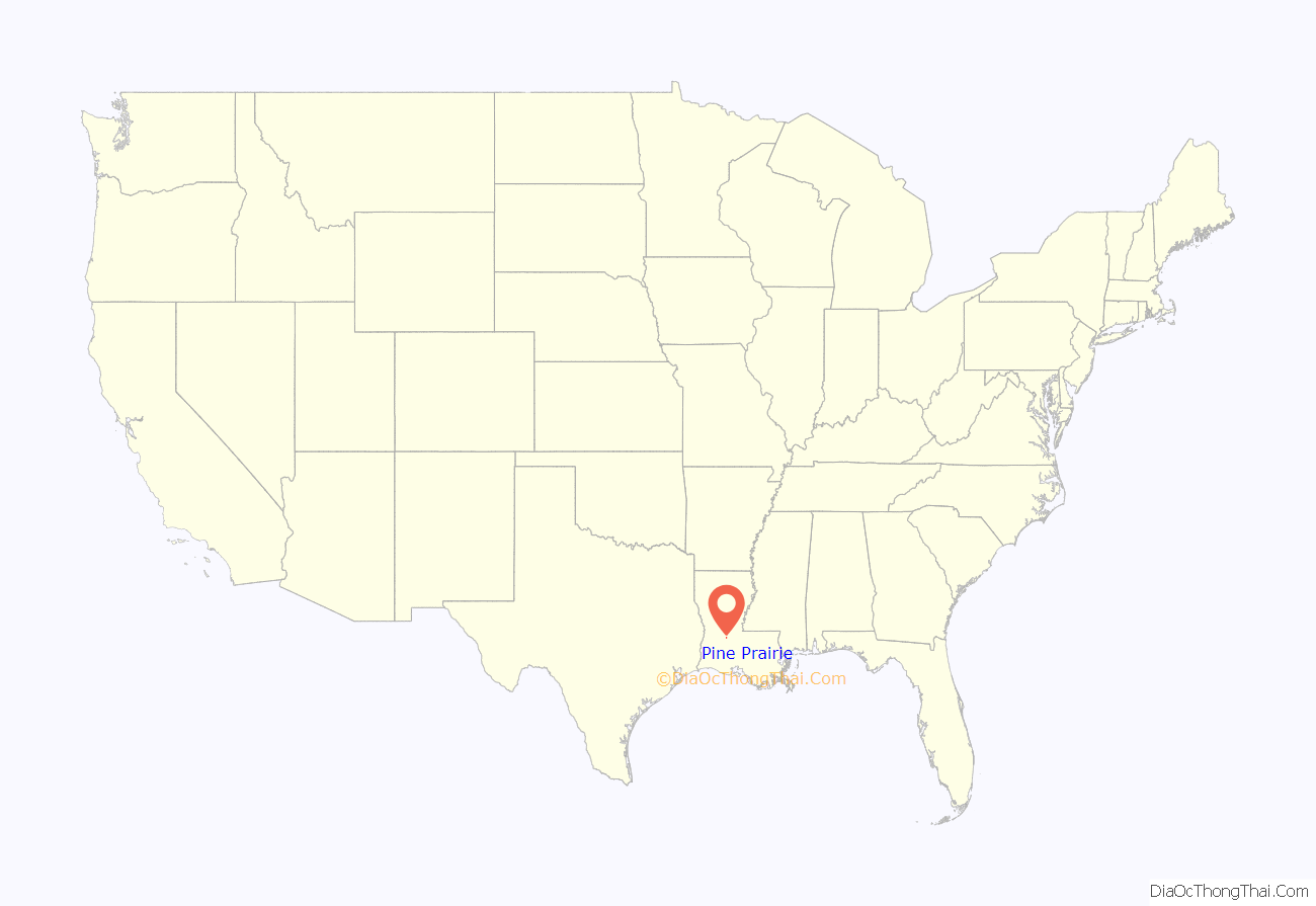
Pine Prairie location map. Where is Pine Prairie village?
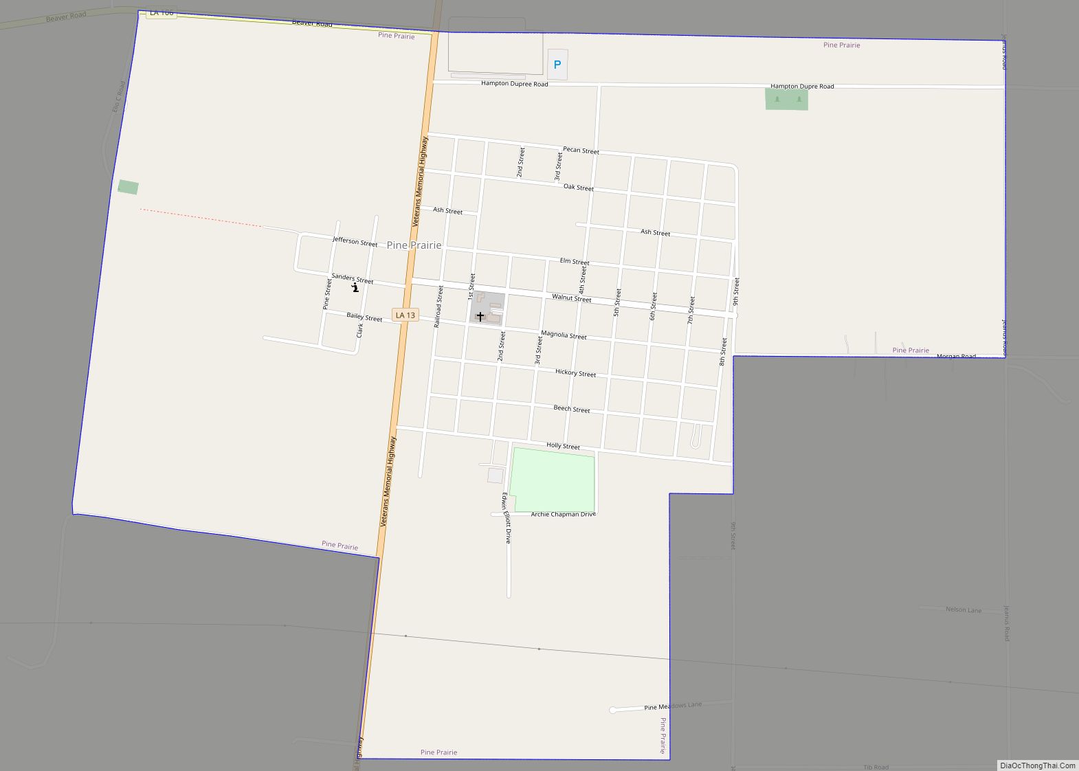
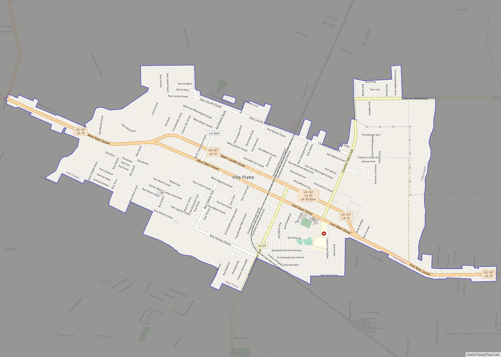
Pine Prairie Road Map
Pine Prairie city Satellite Map
Geography
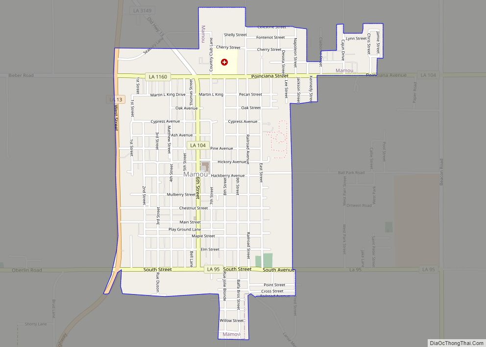
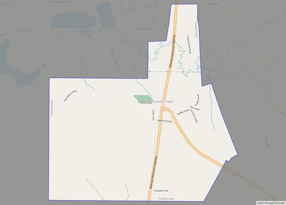
Pine Prairie is located north of the center of Evangeline Parish at 30°46′55″N 92°25′15″W / 30.78194°N 92.42083°W / 30.78194; -92.42083 (30.781882, -92.420852). Louisiana Highway 13 passes through the village, leading north 6 miles (10 km) to Turkey Creek and south 11 miles (18 km) to Mamou. Ville Platte, the parish seat, is 15 miles (24 km) to the southeast.
According to the United States Census Bureau, Pine Prairie has a total area of 1.6 square miles (4.2 km), of which 0.01 square miles (0.03 km), or 0.61%, is water. Pine Prairie Correctional Center is located in the northern part of the village. The village is also home to an ICE detention center where guards pepper sprayed over 100 immigrants for protesting their treatment and which also had an outbreak of mumps.
See also
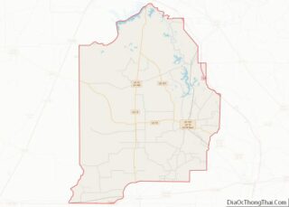
Map of Louisiana State and its subdivision:- Acadia
- Allen
- Ascension
- Assumption
- Avoyelles
- Beauregard
- Bienville
- Bossier
- Caddo
- Calcasieu
- Caldwell
- Cameron
- Catahoula
- Claiborne
- Concordia
- De Soto
- East Baton Rouge
- East Carroll
- East Feliciana
- Evangeline
- Franklin
- Grant
- Iberia
- Iberville
- Jackson
- Jefferson
- Jefferson Davis
- La Salle
- Lafayette
- Lafourche
- Lincoln
- Livingston
- Madison
- Morehouse
- Natchitoches
- Orleans
- Ouachita
- Plaquemines
- Pointe Coupee
- Rapides
- Red River
- Richland
- Sabine
- Saint Bernard
- Saint Charles
- Saint Helena
- Saint James
- Saint John the Baptist
- Saint Landry
- Saint Martin
- Saint Mary
- Saint Tammany
- Tangipahoa
- Tensas
- Terrebonne
- Union
- Vermilion
- Vernon
- Washington
- Webster
- West Baton Rouge
- West Carroll
- West Feliciana
- Winn
- Alabama
- Alaska
- Arizona
- Arkansas
- California
- Colorado
- Connecticut
- Delaware
- District of Columbia
- Florida
- Georgia
- Hawaii
- Idaho
- Illinois
- Indiana
- Iowa
- Kansas
- Kentucky
- Louisiana
- Maine
- Maryland
- Massachusetts
- Michigan
- Minnesota
- Mississippi
- Missouri
- Montana
- Nebraska
- Nevada
- New Hampshire
- New Jersey
- New Mexico
- New York
- North Carolina
- North Dakota
- Ohio
- Oklahoma
- Oregon
- Pennsylvania
- Rhode Island
- South Carolina
- South Dakota
- Tennessee
- Texas
- Utah
- Vermont
- Virginia
- Washington
- West Virginia
- Wisconsin
- Wyoming
