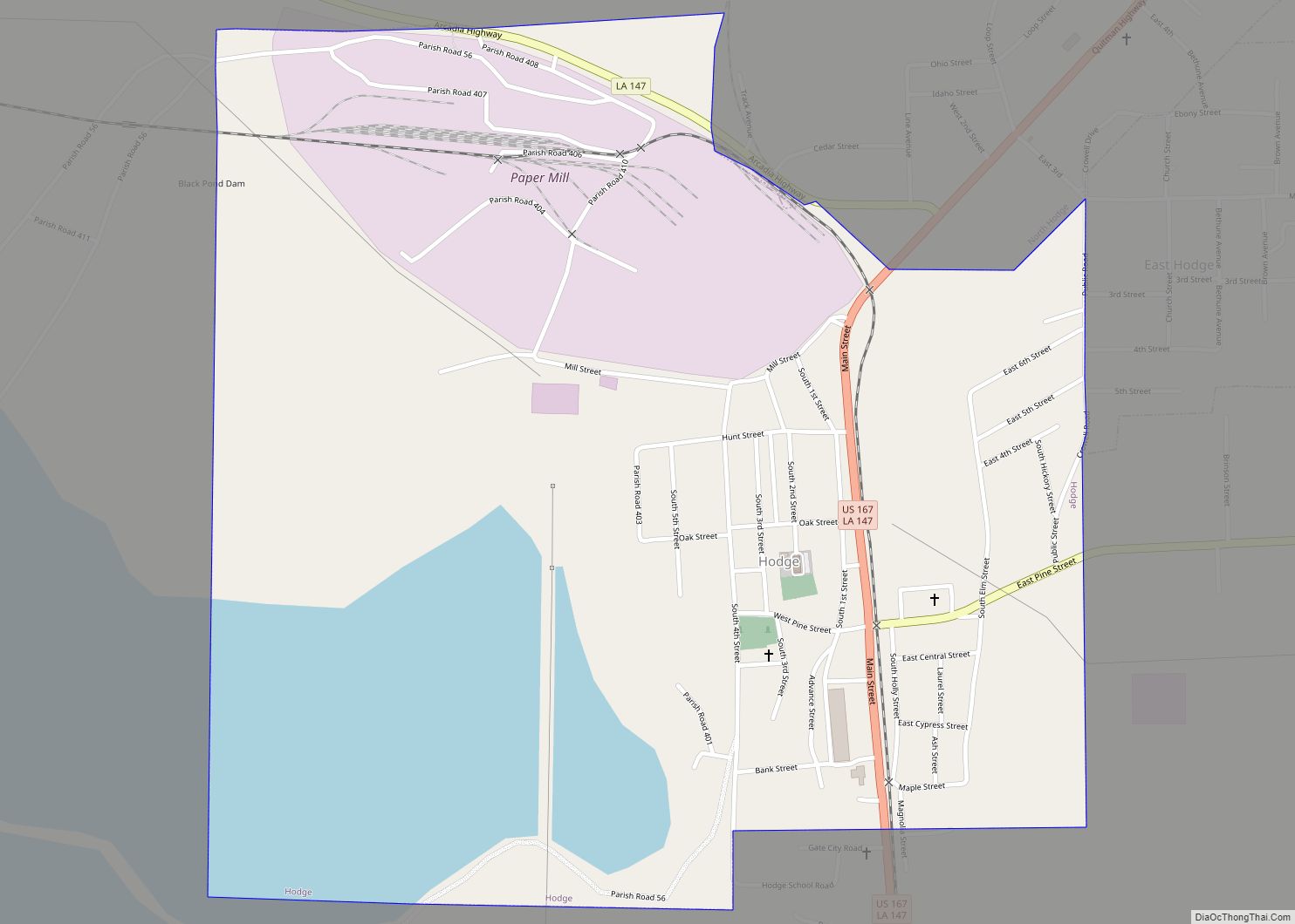
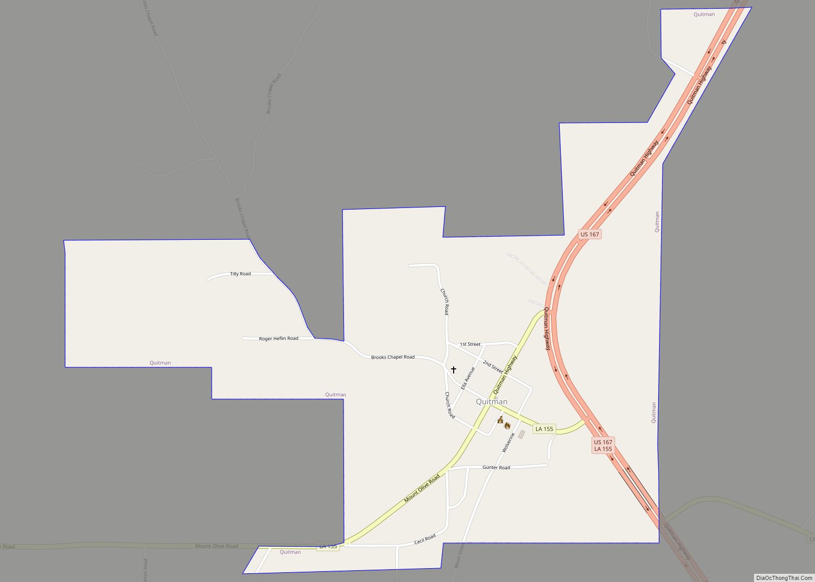
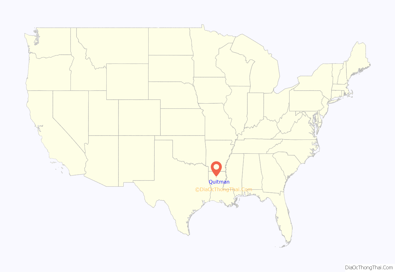
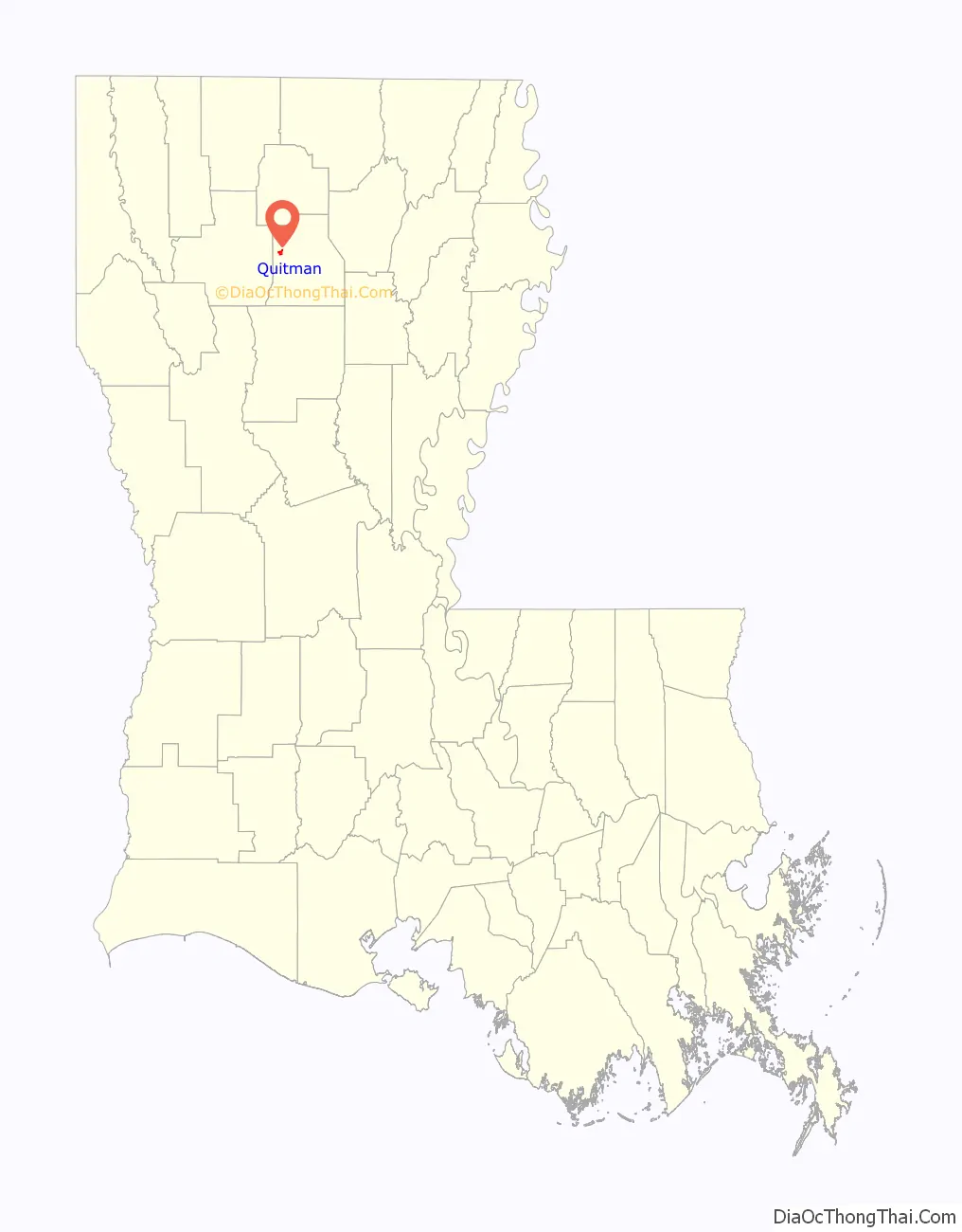
Quitman is a village in Jackson Parish, Louisiana, United States. As of the 2010 census, the village population was 181. Quitman is 15 miles (24 km) south of Ruston on U.S. Highway 167, and 9 miles (14 km) north of Jonesboro, the parish seat of Jackson Parish. It is also adjacent to the Jackson Bienville Wildlife Area.
Quitman is part of the Ruston Micropolitan Statistical Area.
East of Quitman is the Jimmie Davis Tabernacle, a gospel meeting hall. Behind the tabernacle are the grave sites of former Governor Jimmie Davis and his first wife, née Alvern Adams. Davis was born and reared in the area in the since abandoned Beech Springs community.
| Name: | Quitman village |
|---|---|
| LSAD Code: | 47 |
| LSAD Description: | village (suffix) |
| State: | Louisiana |
| County: | Jackson Parish |
| Elevation: | 194 ft (59 m) |
| Total Area: | 0.94 sq mi (2.43 km²) |
| Land Area: | 0.93 sq mi (2.42 km²) |
| Water Area: | 0.00 sq mi (0.01 km²) |
| Total Population: | 160 |
| Population Density: | 171.31/sq mi (66.17/km²) |
| Area code: | 318 |
| FIPS code: | 2263120 |
| Website: | villageofquitman.com |
Online Interactive Map
Click on ![]() to view map in "full screen" mode.
to view map in "full screen" mode.
Quitman location map. Where is Quitman village?
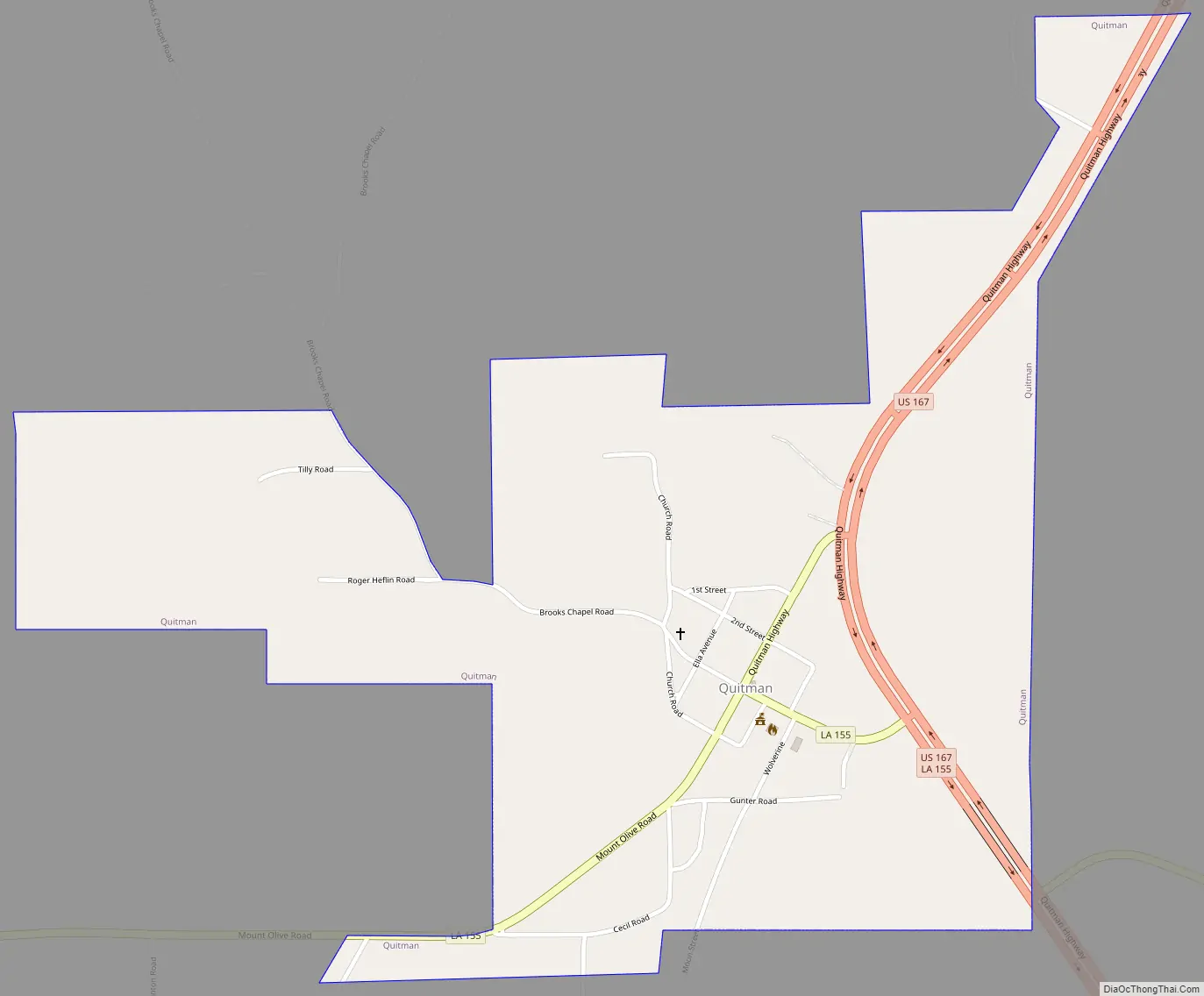
Quitman Road Map
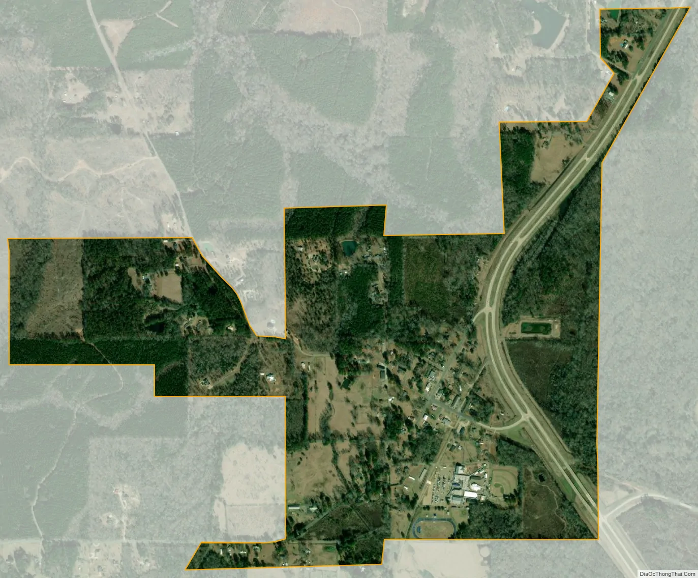
Quitman city Satellite Map
Geography
Quitman is located at 32°20′48″N 92°43′21″W / 32.34667°N 92.72250°W / 32.34667; -92.72250 (32.346643, -92.722548). According to the United States Census Bureau, the village has a total area of 0.9 square miles (2.3 km), all land.
See also
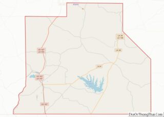
Map of Louisiana State and its subdivision:- Acadia
- Allen
- Ascension
- Assumption
- Avoyelles
- Beauregard
- Bienville
- Bossier
- Caddo
- Calcasieu
- Caldwell
- Cameron
- Catahoula
- Claiborne
- Concordia
- De Soto
- East Baton Rouge
- East Carroll
- East Feliciana
- Evangeline
- Franklin
- Grant
- Iberia
- Iberville
- Jackson
- Jefferson
- Jefferson Davis
- La Salle
- Lafayette
- Lafourche
- Lincoln
- Livingston
- Madison
- Morehouse
- Natchitoches
- Orleans
- Ouachita
- Plaquemines
- Pointe Coupee
- Rapides
- Red River
- Richland
- Sabine
- Saint Bernard
- Saint Charles
- Saint Helena
- Saint James
- Saint John the Baptist
- Saint Landry
- Saint Martin
- Saint Mary
- Saint Tammany
- Tangipahoa
- Tensas
- Terrebonne
- Union
- Vermilion
- Vernon
- Washington
- Webster
- West Baton Rouge
- West Carroll
- West Feliciana
- Winn
- Alabama
- Alaska
- Arizona
- Arkansas
- California
- Colorado
- Connecticut
- Delaware
- District of Columbia
- Florida
- Georgia
- Hawaii
- Idaho
- Illinois
- Indiana
- Iowa
- Kansas
- Kentucky
- Louisiana
- Maine
- Maryland
- Massachusetts
- Michigan
- Minnesota
- Mississippi
- Missouri
- Montana
- Nebraska
- Nevada
- New Hampshire
- New Jersey
- New Mexico
- New York
- North Carolina
- North Dakota
- Ohio
- Oklahoma
- Oregon
- Pennsylvania
- Rhode Island
- South Carolina
- South Dakota
- Tennessee
- Texas
- Utah
- Vermont
- Virginia
- Washington
- West Virginia
- Wisconsin
- Wyoming