Grand Bay is an unincorporated community and census-designated place (CDP) in Mobile County, Alabama, United States. It is part of the Mobile metropolitan area. The population was 3,460 at the 2020 census.
| Name: | Grand Bay CDP |
|---|---|
| LSAD Code: | 57 |
| LSAD Description: | CDP (suffix) |
| State: | Alabama |
| County: | Mobile County |
| Elevation: | 82 ft (25 m) |
| Total Area: | 8.70 sq mi (22.53 km²) |
| Land Area: | 8.68 sq mi (22.47 km²) |
| Water Area: | 0.02 sq mi (0.06 km²) |
| Total Population: | 3,460 |
| Population Density: | 398.85/sq mi (153.99/km²) |
| ZIP code: | 36541 |
| Area code: | 251 |
| FIPS code: | 0131024 |
| GNISfeature ID: | 0155081 |
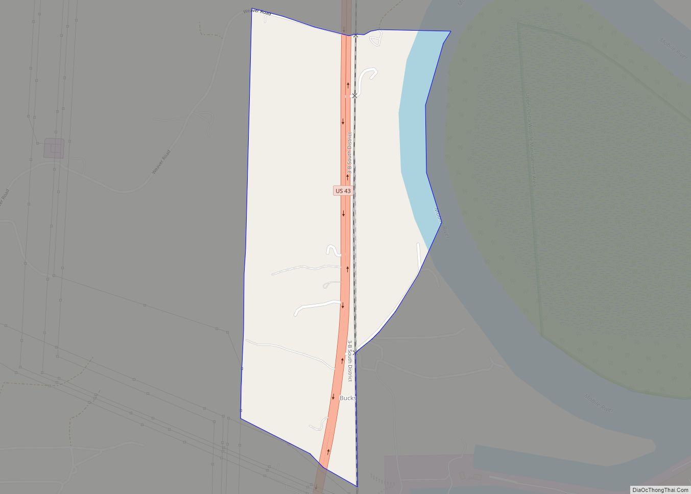
Online Interactive Map
Click on ![]() to view map in "full screen" mode.
to view map in "full screen" mode.
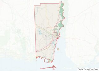
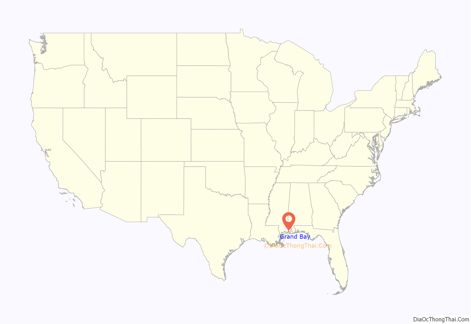
Grand Bay location map. Where is Grand Bay CDP?

History
According to local accounts, George Cassibry was the first white person to settle in Grand Bay. He came to the area in 1853, establishing a home site near the headwaters of Franklin Creek located today near the intersection of Highway 90 and Ramsey Road. Exploration and settlement of the area was well underway by the mid-nineteenth century.
During the Civil War, the town saw brief military action as a column of troops under U.S. General Gordon Granger reached the town as a preliminary move in the siege of Mobile. In 1870 the U.S. Postal Service established a post office at a location near the center of the current community.
Settlement began in earnest when the Grand Bay Land Company began offering ten-acre lots for sale in the early 1900s. The lots were marketed to people living in and around Chicago and other northern cities as a way to live self-sufficiently in a mild climate. Supposedly, ten acres planted in pecan and satsuma trees would be enough to supply the needs of anyone. The timber industry also attracted many to the area. Much of the region south of Grand Bay to the coast along the Mississippi Sound was clearcut.
For a time, the town flourished. A weekly newspaper was published there, and telegraph service was offered to the region through an operator at Grand Bay. The town had a number of businesses including a hotel, drug store, several general merchandise stores and a bank. However, hurricanes in 1906 and 1910, along with a severe freeze, sent many scurrying back north. Their efforts, however, have not gone unnoticed even today. Cogon grass, a highly-invasive rhizome, first introduced to the area as packing material in satsuma trees imported from Asia, has now become a serious Southeastern agricultural problem.
In 1993, the old Grand Bay State Bank building became the temporary site of the El Cazador Museum, and held treasure from the El Cazador. The area in and around the old bank building now forms the Grand Bay Historic District and is listed on the National Register of Historic Places.
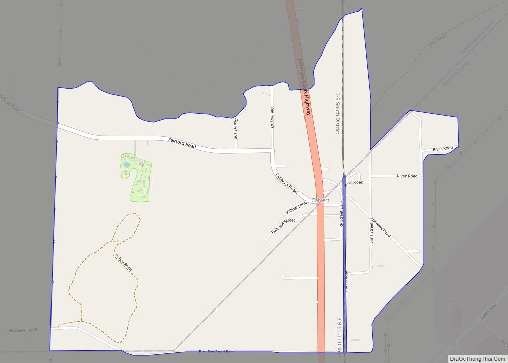
Grand Bay Road Map

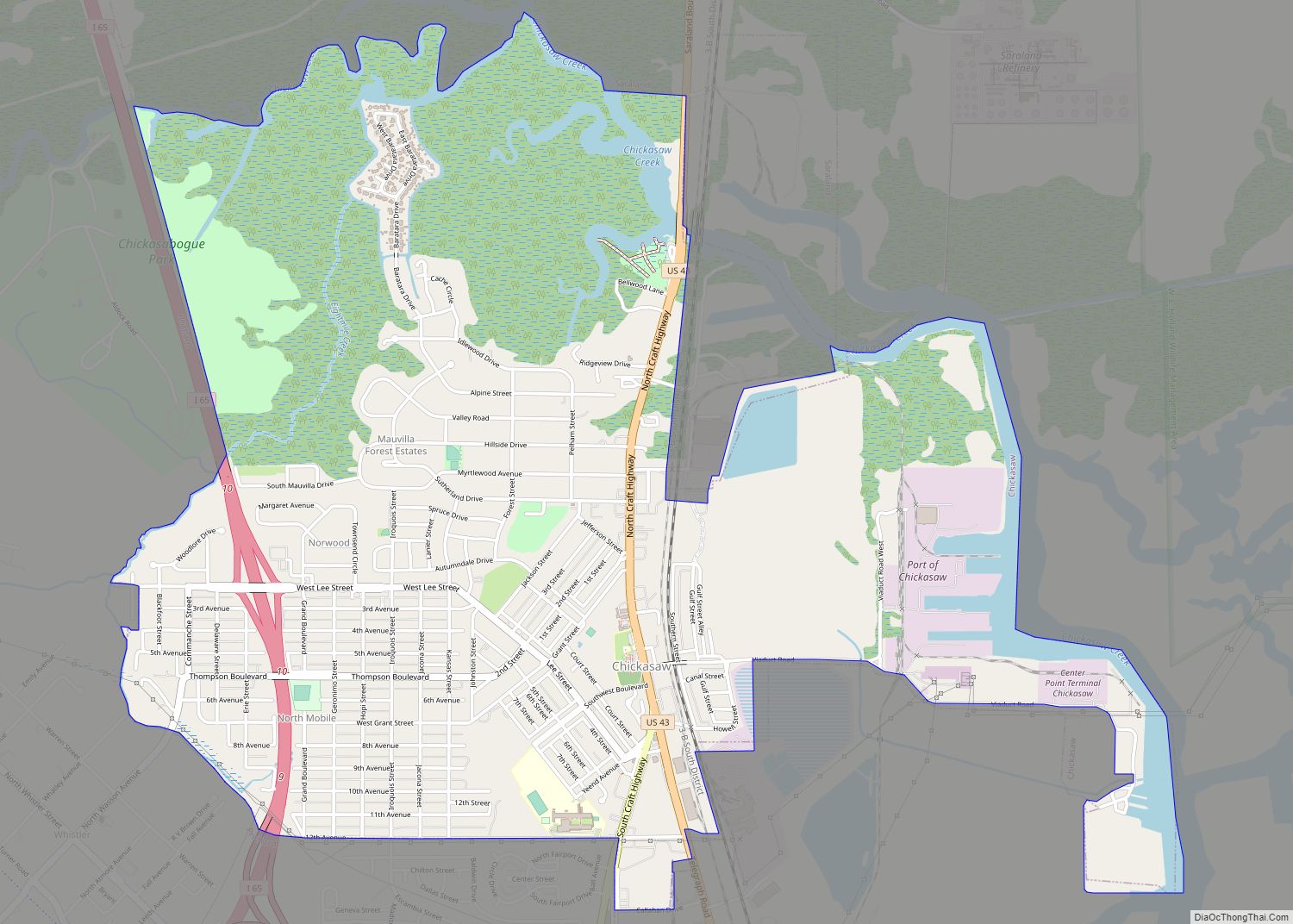
Grand Bay city Satellite Map
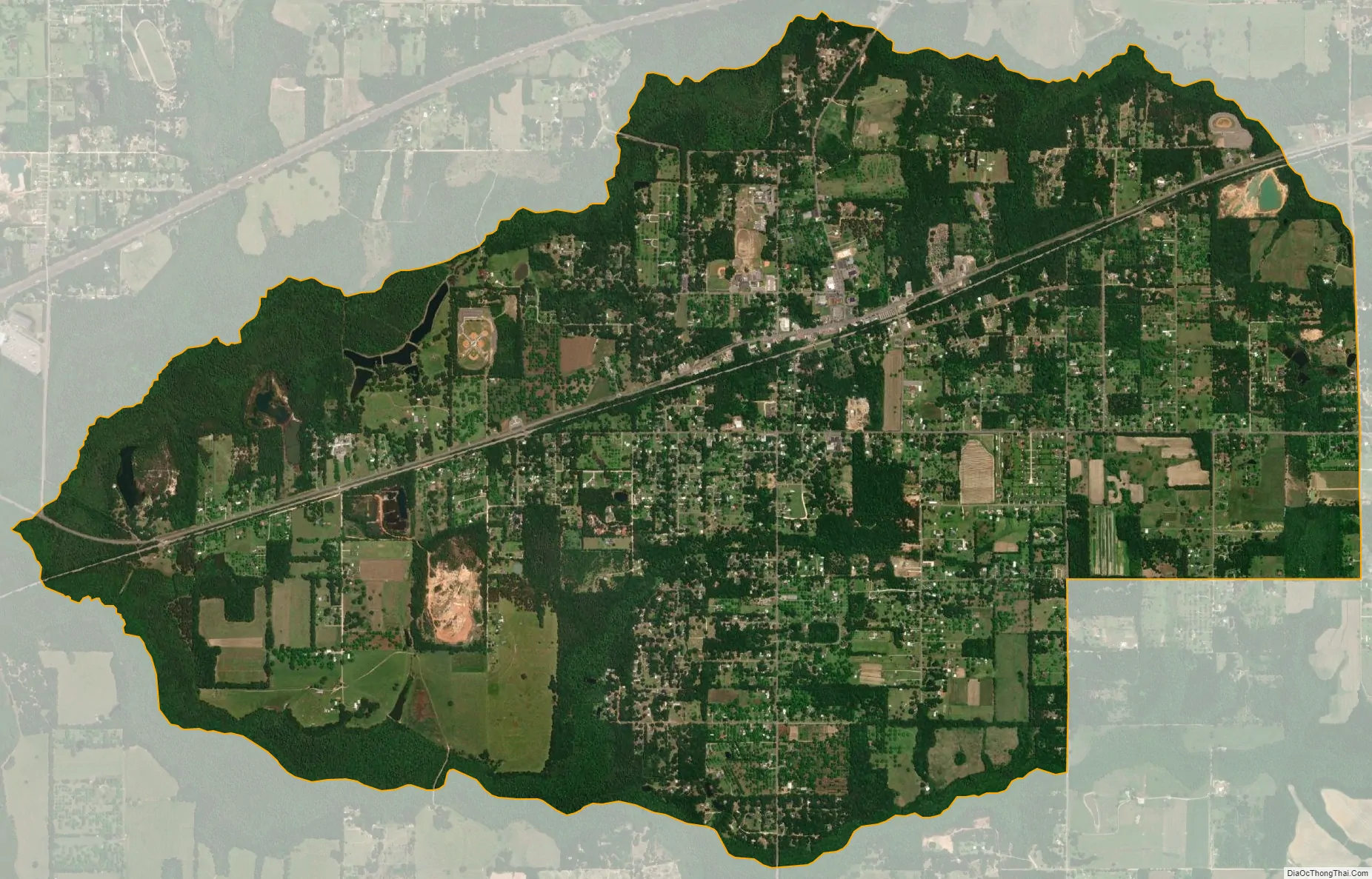
Geography
Grand Bay is located in southwestern Mobile County at 30°28′27″N 88°20′31″W / 30.47417°N 88.34194°W / 30.47417; -88.34194 (30.474055, -88.341836), along U.S. Route 90, a few miles inland from the Mississippi Sound. US 90 leads northeast 26 miles (42 km) to Mobile and southwest 16 miles (26 km) to Pascagoula, Mississippi. The Mississippi state line is 3 miles (5 km) west of Grand Bay. Alabama State Route 188 leads southeast from Grand Bay 8 miles (13 km) to Bayou La Batre and 26 miles (42 km) to Dauphin Island.
According to the United States Census Bureau, the Grand Bay CDP has a total area of 8.7 square miles (23 km), of which 0.02 square miles (0.052 km), or 0.23% are water. The community drains north to Franklin Creek and south to a tributary of it; Franklin Creek flows west to the Escatawpa River in Mississippi, part of the Pascagoula River watershed.
See also
Map of Alabama State and its subdivision:- Autauga
- Baldwin
- Barbour
- Bibb
- Blount
- Bullock
- Butler
- Calhoun
- Chambers
- Cherokee
- Chilton
- Choctaw
- Clarke
- Clay
- Cleburne
- Coffee
- Colbert
- Conecuh
- Coosa
- Covington
- Crenshaw
- Cullman
- Dale
- Dallas
- De Kalb
- Elmore
- Escambia
- Etowah
- Fayette
- Franklin
- Geneva
- Greene
- Hale
- Henry
- Houston
- Jackson
- Jefferson
- Lamar
- Lauderdale
- Lawrence
- Lee
- Limestone
- Lowndes
- Macon
- Madison
- Marengo
- Marion
- Marshall
- Mobile
- Monroe
- Montgomery
- Morgan
- Perry
- Pickens
- Pike
- Randolph
- Russell
- Saint Clair
- Shelby
- Sumter
- Talladega
- Tallapoosa
- Tuscaloosa
- Walker
- Washington
- Wilcox
- Winston
- Alabama
- Alaska
- Arizona
- Arkansas
- California
- Colorado
- Connecticut
- Delaware
- District of Columbia
- Florida
- Georgia
- Hawaii
- Idaho
- Illinois
- Indiana
- Iowa
- Kansas
- Kentucky
- Louisiana
- Maine
- Maryland
- Massachusetts
- Michigan
- Minnesota
- Mississippi
- Missouri
- Montana
- Nebraska
- Nevada
- New Hampshire
- New Jersey
- New Mexico
- New York
- North Carolina
- North Dakota
- Ohio
- Oklahoma
- Oregon
- Pennsylvania
- Rhode Island
- South Carolina
- South Dakota
- Tennessee
- Texas
- Utah
- Vermont
- Virginia
- Washington
- West Virginia
- Wisconsin
- Wyoming