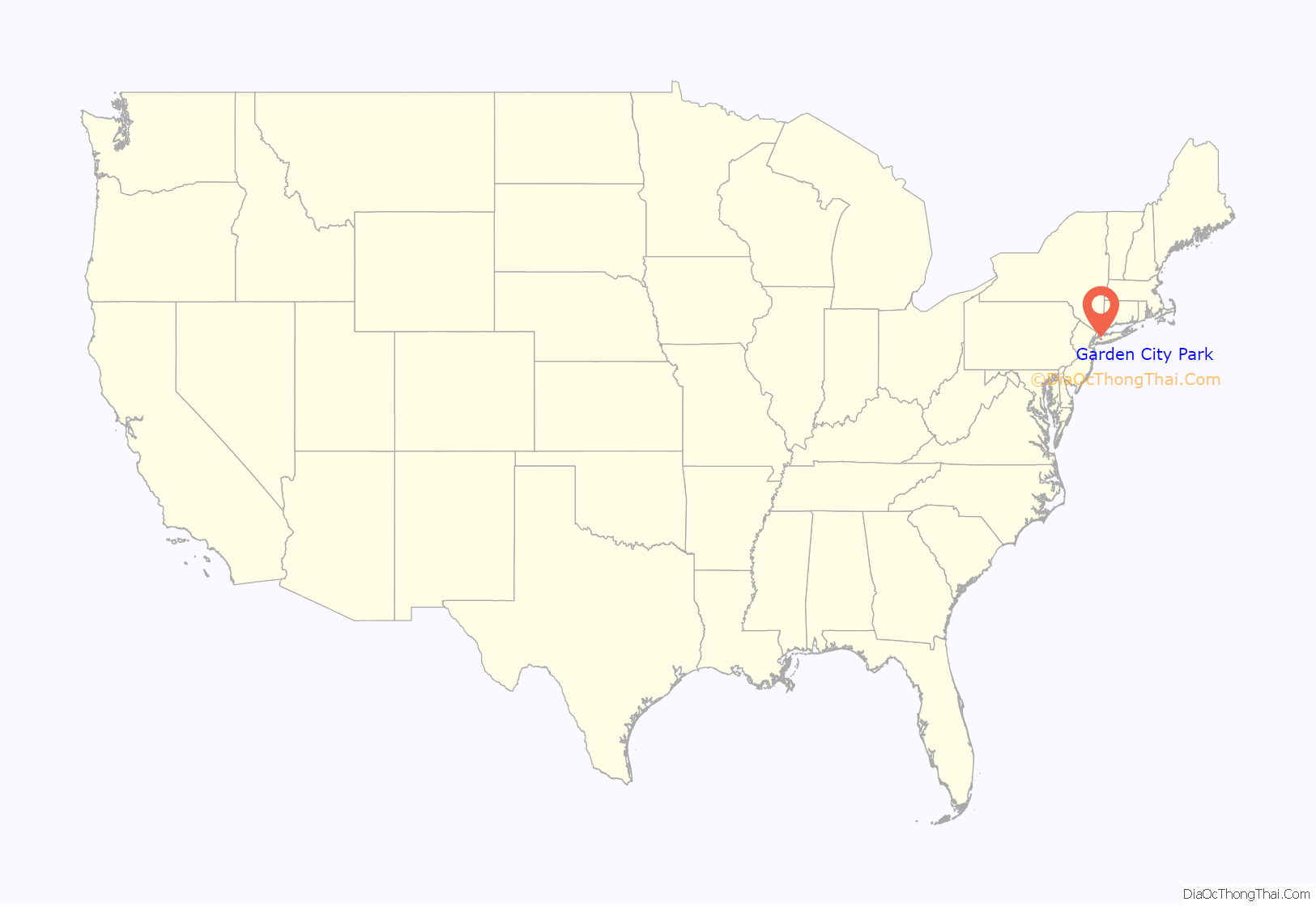
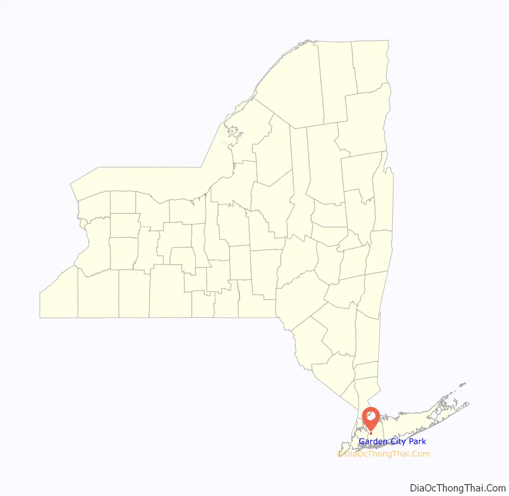
Garden City Park is a hamlet and census-designated place (CDP) located in the Town of North Hempstead in Nassau County, on Long Island, in New York, United States. The population was 7,806 at the 2010 census.
| Name: | Garden City Park CDP |
|---|---|
| LSAD Code: | 57 |
| LSAD Description: | CDP (suffix) |
| State: | New York |
| County: | Nassau County |
| Elevation: | 105 ft (32 m) |
| Total Area: | 1.00 sq mi (2.58 km²) |
| Land Area: | 0.99 sq mi (2.57 km²) |
| Water Area: | 0.00 sq mi (0.01 km²) |
| Total Population: | 7,985 |
| Population Density: | 8,041.29/sq mi (3,106.03/km²) |
| ZIP code: | 11040 |
| Area code: | 516 |
| FIPS code: | 3628189 |
| GNISfeature ID: | 0950876 |
Online Interactive Map
Click on ![]() to view map in "full screen" mode.
to view map in "full screen" mode.
Garden City Park location map. Where is Garden City Park CDP?
History
From about 1787 until about 1874, the area was known as Clowesville, which was then the County Seat of Queens County, and contained the county courthouse and jail.
The community’s name was eventually changed to Garden City Park due to its proximity to the then-new development of Garden City.
On December 7, 1993, a mass shooting occurred at the Merillion Avenue stop.
Garden City Park Road Map
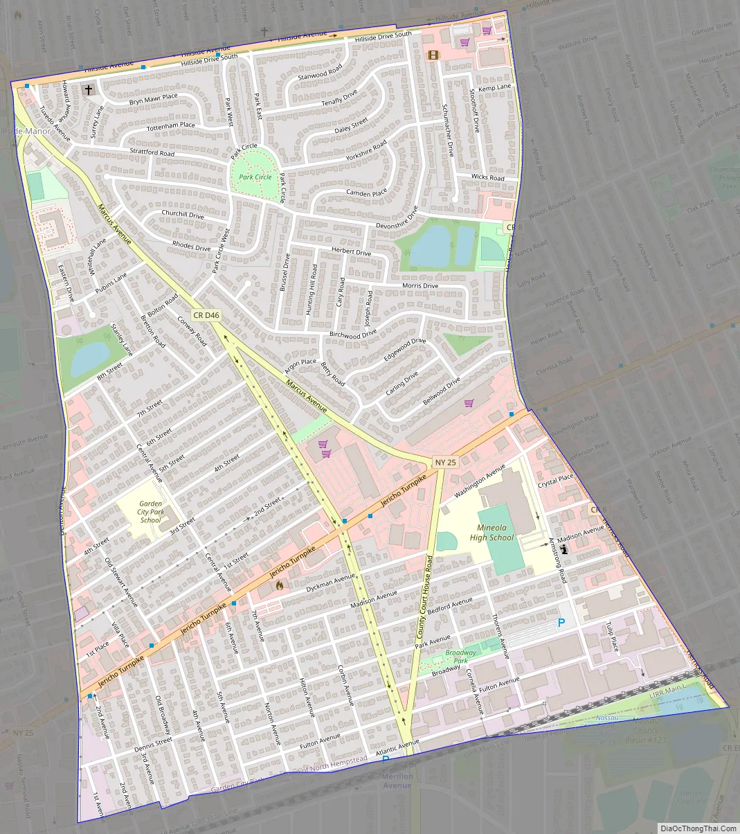
Garden City Park city Satellite Map

Geography
According to the United States Census Bureau, the CDP has a total area of 3.0 square miles (7.8 km), all land.
Garden City Park is bordered by Hillside Avenue to the north, Herricks Road to the east, and Denton Avenue to the west. The southern border is the boundary of the Town of North Hempstead with the Town of Hempstead, roughly coinciding with Atlantic Avenue and the Main Line of the Long Island Rail Road (LIRR). The local LIRR stop is Merillon Avenue.
Some local and town maps reflect that Garden City Park spills over north into Herricks. Mail delivery is provided by the New Hyde Park Post Office utilizing the 11040 Zip Code.
See also
Map of New York State and its subdivision:- Albany
- Allegany
- Bronx
- Broome
- Cattaraugus
- Cayuga
- Chautauqua
- Chemung
- Chenango
- Clinton
- Columbia
- Cortland
- Delaware
- Dutchess
- Erie
- Essex
- Franklin
- Fulton
- Genesee
- Greene
- Hamilton
- Herkimer
- Jefferson
- Kings
- Lake Ontario
- Lewis
- Livingston
- Madison
- Monroe
- Montgomery
- Nassau
- New York
- Niagara
- Oneida
- Onondaga
- Ontario
- Orange
- Orleans
- Oswego
- Otsego
- Putnam
- Queens
- Rensselaer
- Richmond
- Rockland
- Saint Lawrence
- Saratoga
- Schenectady
- Schoharie
- Schuyler
- Seneca
- Steuben
- Suffolk
- Sullivan
- Tioga
- Tompkins
- Ulster
- Warren
- Washington
- Wayne
- Westchester
- Wyoming
- Yates
- Alabama
- Alaska
- Arizona
- Arkansas
- California
- Colorado
- Connecticut
- Delaware
- District of Columbia
- Florida
- Georgia
- Hawaii
- Idaho
- Illinois
- Indiana
- Iowa
- Kansas
- Kentucky
- Louisiana
- Maine
- Maryland
- Massachusetts
- Michigan
- Minnesota
- Mississippi
- Missouri
- Montana
- Nebraska
- Nevada
- New Hampshire
- New Jersey
- New Mexico
- New York
- North Carolina
- North Dakota
- Ohio
- Oklahoma
- Oregon
- Pennsylvania
- Rhode Island
- South Carolina
- South Dakota
- Tennessee
- Texas
- Utah
- Vermont
- Virginia
- Washington
- West Virginia
- Wisconsin
- Wyoming


