Geneseo /ˌdʒɛnɪˈsiːoʊ/ is a town in Livingston County in the Finger Lakes region of New York, United States. It is at the south end of the five-county Rochester Metropolitan Area. The population of the town was 10,483 at the 2010 census.
The English name “Geneseo” is an anglicization of the Iroquois name for the earlier Iroquois town there, Gen-nis-he-yo (which means “beautiful valley”). The village of Geneseo lies within the western portion of the town. The village and town are known today mainly as the home of the State University of New York at Geneseo.
| Name: | Geneseo village |
|---|---|
| LSAD Code: | 47 |
| LSAD Description: | village (suffix) |
| State: | New York |
| County: | Livingston County |
| Elevation: | 909 ft (277 m) |
| Total Area: | 45.14 sq mi (116.92 km²) |
| Land Area: | 43.94 sq mi (113.82 km²) |
| Water Area: | 1.20 sq mi (3.10 km²) |
| Total Population: | 10,483 |
| Population Density: | 244.08/sq mi (94.24/km²) |
| ZIP code: | 14454 |
| Area code: | 585 |
| FIPS code: | 3628618 |
| GNISfeature ID: | 0978991 |
| Website: | www.geneseony.org |
Online Interactive Map
Click on ![]() to view map in "full screen" mode.
to view map in "full screen" mode.
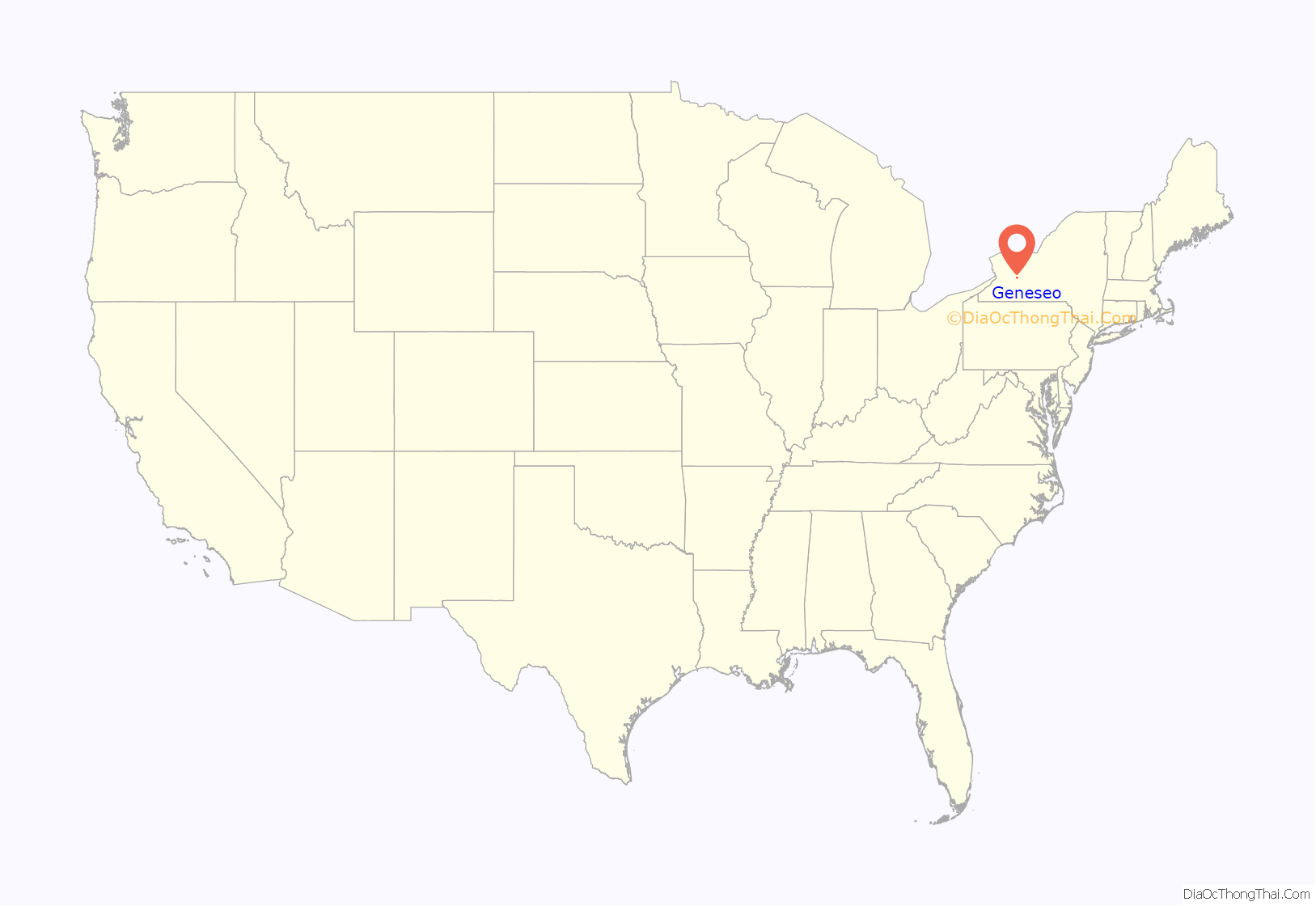
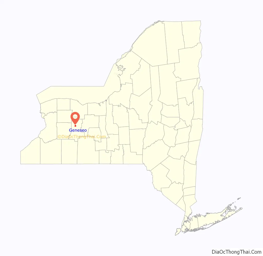
Geneseo location map. Where is Geneseo village?
History
Pre-revolution
Near Geneseo was the largest Seneca village, Chenussio, a center of power for the Iroquois Confederacy. It was also the confederacy’s “bread basket”, with orchards, vineyards, and fields of maize and vegetables.
During the American Revolution, the Seneca joined the British and the Tories against the colonists who were fighting for independence. The alliance’s raids from the west were a major threat to the American cause, and General Washington sent the Sullivan Expedition to neutralize the Iroquois. As Sullivan’s army approached Geneseo with their “scorched earth” policy, the Senecas repeatedly fell back. However, a large Seneca party ambushed one of Sullivan’s scouting parties, carried them as prisoners to Geneseo and tortured them to death. When Sullivan’s troops arrived and found the savagely mutilated bodies, they became enraged and destroyed anything that could support the Iroquois. No longer able to raid from Geneseo and the surrounding area, about 5,000 Seneca fled to British-held Fort Niagara, where they spent one of the coldest winters on record, with much loss of life, in camps outside the fort with only the small amount of supplies the British could spare.
Post-revolution
The town was established in 1789, before the formation of Livingston County. The settlement of Geneseo by the colonists began shortly after the arrival of James and William Wadsworth in 1790. The brothers came to the Genesee Valley from Connecticut as agents of their uncle, Colonel Jeremiah Wadsworth, to care for and sell the land he purchased. The Wadsworths were participants in the negotiations of the Treaty of Big Tree between Robert Morris and the Senecas at the site of Geneseo in 1797.
Geneseo, as well as nearby Mount Morris, was part of the Morris Reserve that Morris held back from his sale of much of western New York to the Holland Land Company.
Geneseo was the birthplace of Eliza Emily Chappell Porter in 1807, who was a nurse, teacher, school builder, and Underground Railroad operative during the Civil War. Geneseo was also the birthplace, in 1851, of the swindler Ferdinand Ward.
Geneseo was used as a background for tales of the law and small town life by Arthur C. Train, who lived and practiced law in the town for many years before the First World War. He gave it the name of “Pottsville”, and often used it as one of the settings for his stories of the Yankee lawyer, Ephraim Tutt.
The village of Geneseo became the county seat of Livingston County in 1821 and was incorporated in 1832. The State Normal School, now SUNY Geneseo, opened in 1871. In 1991, the United States Department of the Interior designated large parts of the village a National Historic Landmark.
The botanist Albert Francis Blakeslee (1874–1954) was born in Geneseo.
Present day
The valley of the Genesee River is wide and fertile, with some of the best agricultural land in New York, but it was very prone to flooding, and Geneseo suffered several bad floods until the United States Army Corps of Engineers’ construction of the Mount Morris Dam upstream of the community in the 1950s. Agriculture is now a large contributor to Geneseo’s economy. Geneseo is also used by many as a bedroom community for jobs in Rochester, 30 miles (48 km) to the north. The village of Geneseo is governed by a mayor and four trustees.
The town can be roughly divided into three geographies: the village has a small-town atmosphere, much of Route 20A is commercialized, and the majority of the town’s area is farmland. One of the main issues faced by the community today is urban sprawl. The increasing presence of big-box stores on Route 20A has been welcomed by some residents, who appreciate the convenience of nearby retailers, and discouraged by others, who oppose the suburbanization of the small town.
The Geneseo Airport (D52) is a general aviation airport west of the village, on the Wadsworth farm. It was established during July 1969, and is used for approximately 20 aircraft operations each day. Since 1980, it has hosted groups restoring and operating historic military aircraft—originally the National Warplane Museum, and now the 1941 Historical Aircraft Group Museum. An airshow is held annually on the field, during the second weekend in July.
The Association for the Preservation of Geneseo (APOG) is a civic organization dedicated to preserving, improving, and restoring the places of civic, architectural, and historic interest to Geneseo and to educate members of the community to their architectural and historical heritage. Additional aims and purposes are to encourage others to contribute their knowledge, advice, and financial assistance.
Sweet Briar and the Wadsworth Fort Site are listed on the National Register of Historic Places.
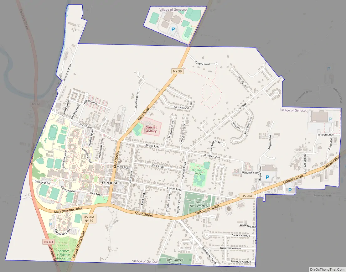
Geneseo Road Map
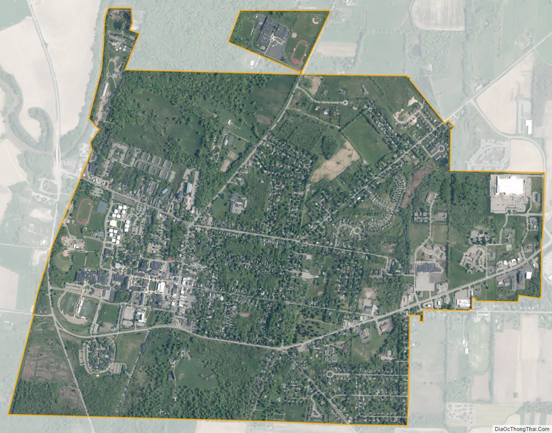
Geneseo city Satellite Map
Geography
According to the United States Census Bureau, the town has an area of 45.1 square miles (116.9 km), of which 43.9 square miles (113.8 km) are land and 1.2 square miles (3.1 km), or 2.65%, are water.
The Genesee River defines the western town line, and Conesus Lake is on part of the eastern town line. Interstate 390 and U.S. Route 20A pass through the town, along with State Routes 39, 63, and 256.
Adjacent towns and areas
(Clockwise)
- Avon
- Livonia; Conesus
- Groveland
- Leicester; York
See also
Map of New York State and its subdivision:- Albany
- Allegany
- Bronx
- Broome
- Cattaraugus
- Cayuga
- Chautauqua
- Chemung
- Chenango
- Clinton
- Columbia
- Cortland
- Delaware
- Dutchess
- Erie
- Essex
- Franklin
- Fulton
- Genesee
- Greene
- Hamilton
- Herkimer
- Jefferson
- Kings
- Lake Ontario
- Lewis
- Livingston
- Madison
- Monroe
- Montgomery
- Nassau
- New York
- Niagara
- Oneida
- Onondaga
- Ontario
- Orange
- Orleans
- Oswego
- Otsego
- Putnam
- Queens
- Rensselaer
- Richmond
- Rockland
- Saint Lawrence
- Saratoga
- Schenectady
- Schoharie
- Schuyler
- Seneca
- Steuben
- Suffolk
- Sullivan
- Tioga
- Tompkins
- Ulster
- Warren
- Washington
- Wayne
- Westchester
- Wyoming
- Yates
- Alabama
- Alaska
- Arizona
- Arkansas
- California
- Colorado
- Connecticut
- Delaware
- District of Columbia
- Florida
- Georgia
- Hawaii
- Idaho
- Illinois
- Indiana
- Iowa
- Kansas
- Kentucky
- Louisiana
- Maine
- Maryland
- Massachusetts
- Michigan
- Minnesota
- Mississippi
- Missouri
- Montana
- Nebraska
- Nevada
- New Hampshire
- New Jersey
- New Mexico
- New York
- North Carolina
- North Dakota
- Ohio
- Oklahoma
- Oregon
- Pennsylvania
- Rhode Island
- South Carolina
- South Dakota
- Tennessee
- Texas
- Utah
- Vermont
- Virginia
- Washington
- West Virginia
- Wisconsin
- Wyoming


