Lynbrook is a village in the Town of Hempstead in Nassau County, on the South Shore of Long Island, in New York, United States. The population was 19,427 at the 2010 census.
| Name: | Lynbrook village |
|---|---|
| LSAD Code: | 47 |
| LSAD Description: | village (suffix) |
| State: | New York |
| County: | Nassau County |
| Incorporated: | 1911 |
| Elevation: | 20 ft (6 m) |
| Total Area: | 2.01 sq mi (5.21 km²) |
| Land Area: | 2.01 sq mi (5.21 km²) |
| Water Area: | 0.00 sq mi (0.00 km²) |
| Total Population: | 20,438 |
| Population Density: | 10,153.01/sq mi (3,920.42/km²) |
| ZIP code: | 11563-11564 |
| Area code: | 516 |
| FIPS code: | 3643874 |
| GNISfeature ID: | 2390951 |
| Website: | www.lynbrookvillage.net |
Online Interactive Map
Click on ![]() to view map in "full screen" mode.
to view map in "full screen" mode.
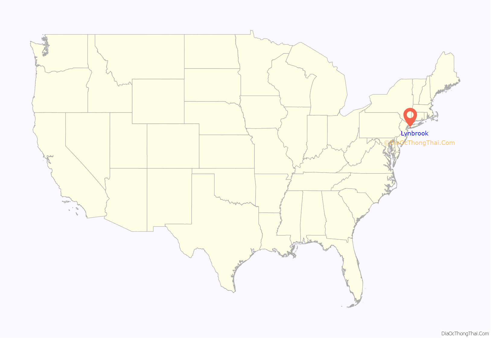
Lynbrook location map. Where is Lynbrook village?

History
The area currently known as Lynbrook has had other names, including Rechquaakie (originally), Parson’s Corners, and Bloomfield. It was later named Pearsall’s Corners, after Mr. Pearsall’s General Store, because this store became a famous stagecoach stop for travelers coming from New York City to Long Island. Alternatively, it was called “Five Corners” because the stagecoach stop was at the crossing of Hempstead Avenue, Merrick Road, and Broadway. It became known as Lynbrook in 1894 and the village was incorporated in 1911. The name “Lynbrook” is derived by dividing “Brooklyn” into its syllables and transposing them, a tribute to the original home of many of the town’s turn-of-the-century residents.
Since 1912, Lynbrook has been served by the Lynbrook Police Department. The Chief of the Department is Brian Palladino. Since 1879, the Lynbrook Volunteer Fire Department has served Lynbrook. The department has six firehouses around Lynbrook. The Chief of the Department is Christopher Kelly. Lynbrook is also served by its own Department of Public Works, which provides sanitation management. The superintendent is Phil Healey.
In 2008, three houses in Lynbrook were listed on the National Register of Historic Places: House at 251 Rocklyn Avenue, House at 474 Ocean Avenue, and House at 73 Grove Street. The Rockville Cemetery was listed in 2015.
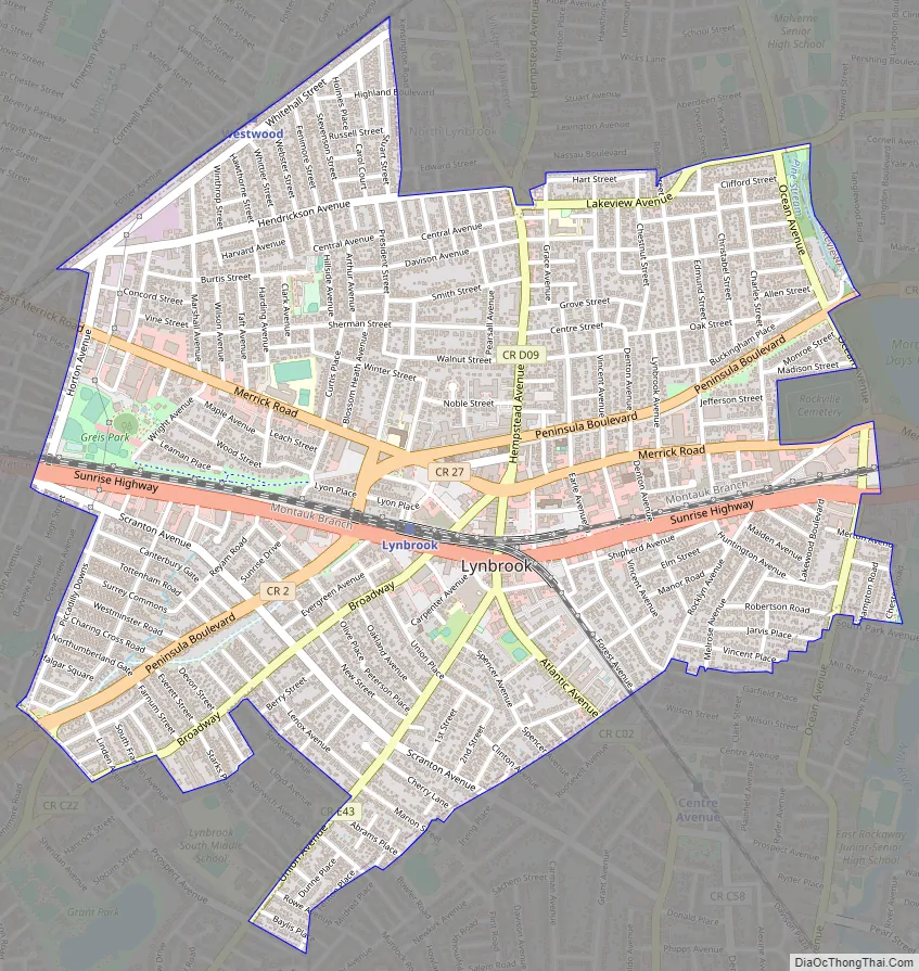
Lynbrook Road Map
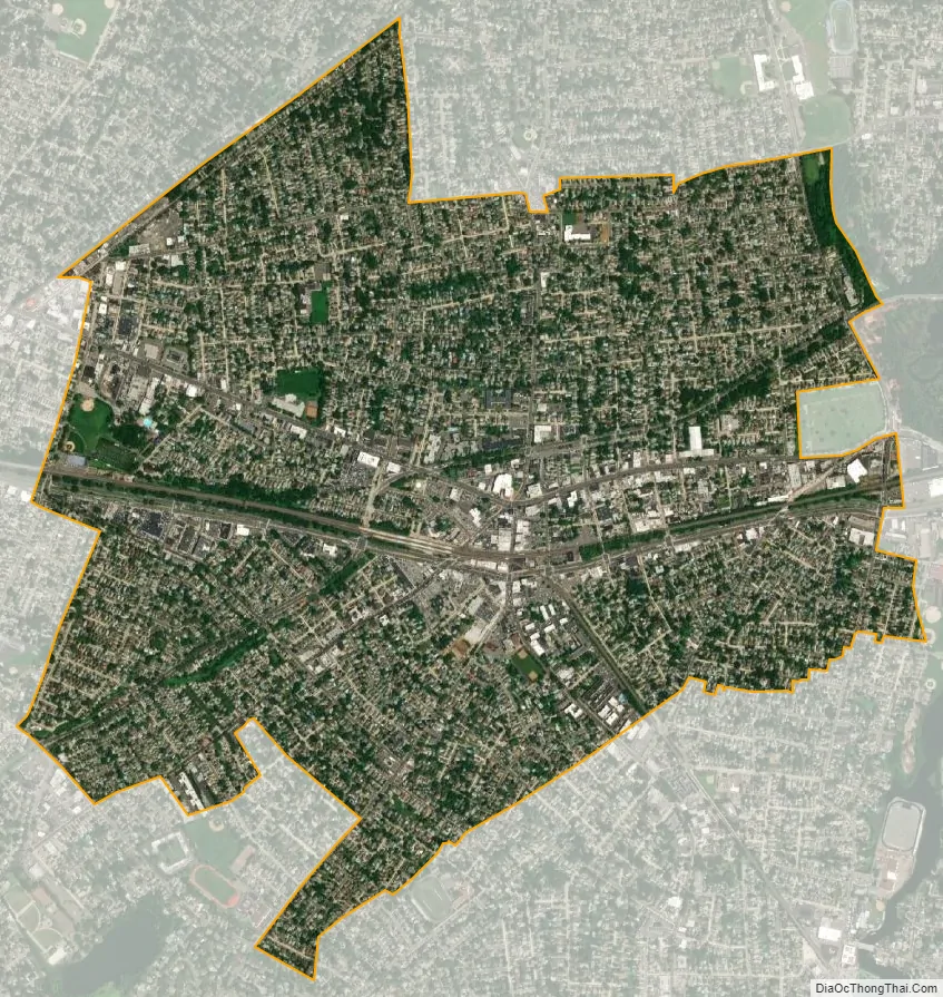
Lynbrook city Satellite Map
Geography
According to the United States Census Bureau, the village has a total area of 2.0 square miles (5.2 km), all land.
Lynbrook neighbors Malverne to the north, Valley Stream to the west, Hewlett to the southwest, East Rockaway to the southeast, and Rockville Centre to the east.
See also
Map of New York State and its subdivision:- Albany
- Allegany
- Bronx
- Broome
- Cattaraugus
- Cayuga
- Chautauqua
- Chemung
- Chenango
- Clinton
- Columbia
- Cortland
- Delaware
- Dutchess
- Erie
- Essex
- Franklin
- Fulton
- Genesee
- Greene
- Hamilton
- Herkimer
- Jefferson
- Kings
- Lake Ontario
- Lewis
- Livingston
- Madison
- Monroe
- Montgomery
- Nassau
- New York
- Niagara
- Oneida
- Onondaga
- Ontario
- Orange
- Orleans
- Oswego
- Otsego
- Putnam
- Queens
- Rensselaer
- Richmond
- Rockland
- Saint Lawrence
- Saratoga
- Schenectady
- Schoharie
- Schuyler
- Seneca
- Steuben
- Suffolk
- Sullivan
- Tioga
- Tompkins
- Ulster
- Warren
- Washington
- Wayne
- Westchester
- Wyoming
- Yates
- Alabama
- Alaska
- Arizona
- Arkansas
- California
- Colorado
- Connecticut
- Delaware
- District of Columbia
- Florida
- Georgia
- Hawaii
- Idaho
- Illinois
- Indiana
- Iowa
- Kansas
- Kentucky
- Louisiana
- Maine
- Maryland
- Massachusetts
- Michigan
- Minnesota
- Mississippi
- Missouri
- Montana
- Nebraska
- Nevada
- New Hampshire
- New Jersey
- New Mexico
- New York
- North Carolina
- North Dakota
- Ohio
- Oklahoma
- Oregon
- Pennsylvania
- Rhode Island
- South Carolina
- South Dakota
- Tennessee
- Texas
- Utah
- Vermont
- Virginia
- Washington
- West Virginia
- Wisconsin
- Wyoming


