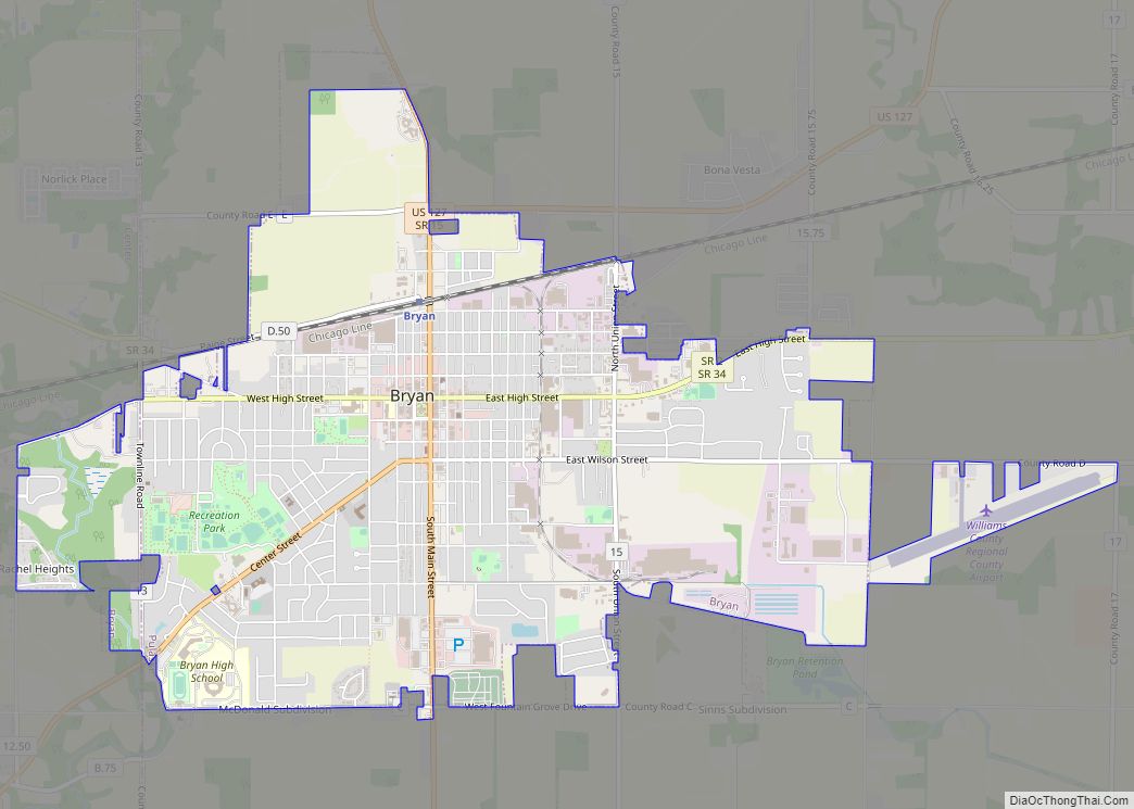
Bryan is a city in, and the county seat of, Williams County, Ohio, United States. It is located in the state’s northwestern corner, 53 miles (85 km) southwest of Toledo. The population was 8,729 at the 2020 census.
| Name: | Bryan city |
|---|---|
| LSAD Code: | 25 |
| LSAD Description: | city (suffix) |
| State: | Ohio |
| County: | Williams County |
| Elevation: | 768 ft (234 m) |
| Total Area: | 5.43 sq mi (14.07 km²) |
| Land Area: | 5.40 sq mi (13.99 km²) |
| Water Area: | 0.03 sq mi (0.08 km²) |
| Total Population: | 8,729 |
| Population Density: | 1,616.48/sq mi (624.08/km²) |
| ZIP code: | 43506 |
| Area code: | 419 |
| FIPS code: | 3909792 |
| GNISfeature ID: | 1048561 |
| Website: | http://www.cityofbryan.com/ |
Online Interactive Map
Click on ![]() to view map in "full screen" mode.
to view map in "full screen" mode.
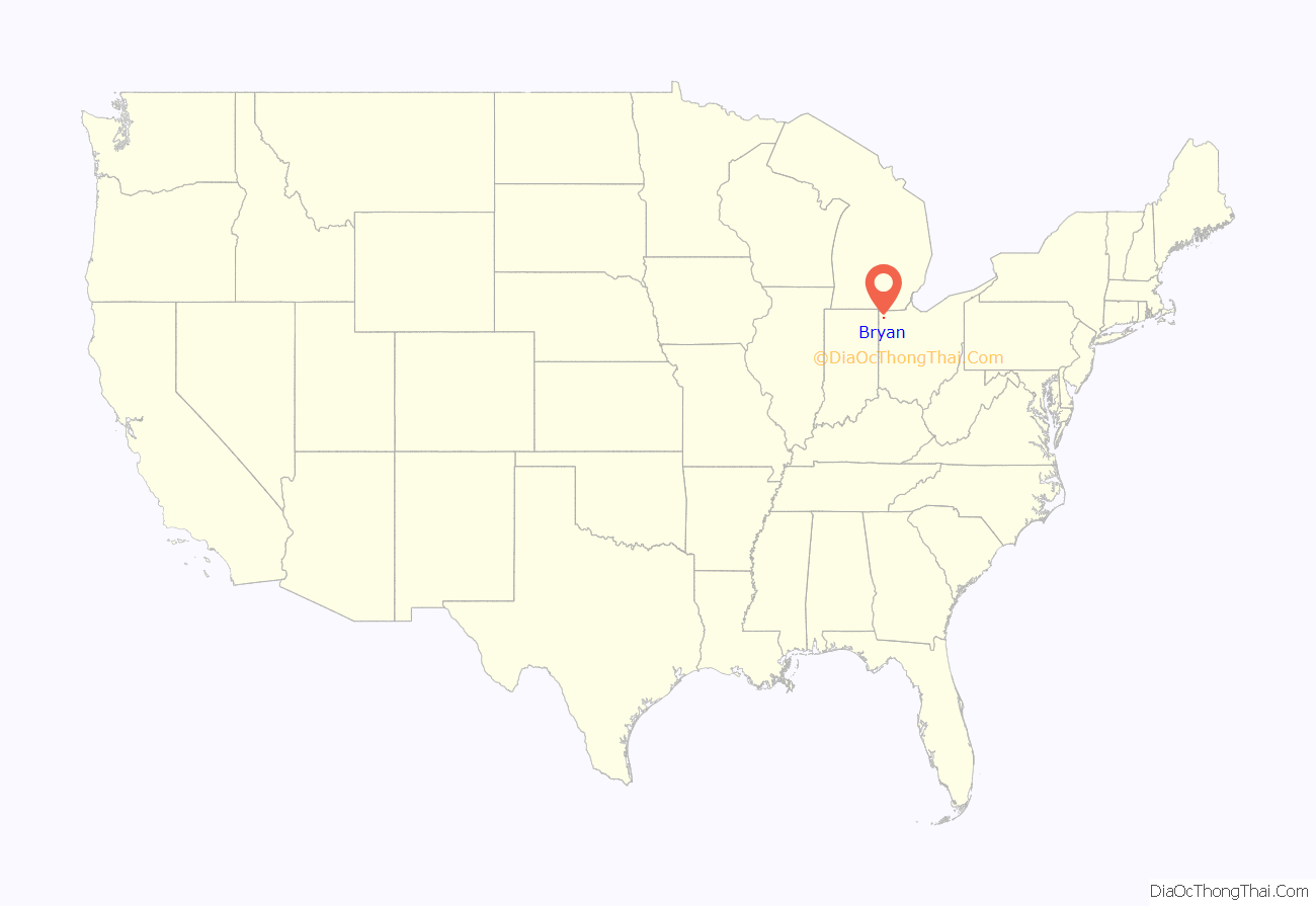
Bryan location map. Where is Bryan city?

History
Bryan was platted in 1840 by John A. Bryan, and named for him. It was incorporated as a village in 1841, and reincorporated as a city in 1941.
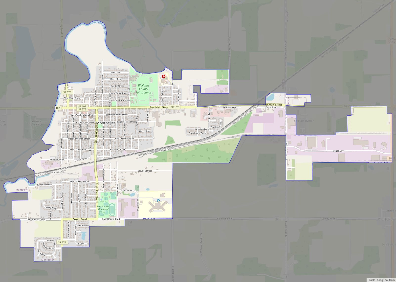
Williams County was originally part of Defiance County, with Defiance as the county seat. The area was later split into Williams and Defiance counties. Bryan was named the seat for the new county, but not without conflict; the village of Montpelier was considered a more centralized location. The people of Montpelier petitioned the state legislature, but in the end Bryan was named county seat because of its greater industrial and commercial importance and because of its higher population. To this day, many people still argue about the state’s decision and a rivalry of sorts remains between the two communities.
A strip of Williams County north of Bryan was originally part of a conflict known as the Toledo War, between Ohio and Michigan. Both states claimed the land, the Toledo Strip, which was named for the port city of Toledo at its eastern end. The conflict was eventually resolved in favor of Ohio, with Michigan being compensated with what is now the western Upper Peninsula.
The Williams County Courthouse downtown was completed in 1891. It is the third courthouse to occupy the property.
The Lake Shore and Michigan Southern Railway, later absorbed into the New York Central Railroad as part of its Chicago mainline, began serving Bryan in 1869. Due to the New York Central’s line between Stryker, Ohio and Butler, Indiana, being both straight and flat, on July 23, 1966, Bryan was a mid-point of a record-setting speed run by a New York Central RDC-3, M-497 Black Beetle, modified with a pair of jet engines. The car reached a speed of 183.68 mph (295.6 km/h), an American rail speed record that still stands today. From 1905 to 1939, Bryan was also the western terminus for the Toledo and Indiana Railway, an interurban that began operation between Toledo and Stryker in 1901.
Bryan Road Map
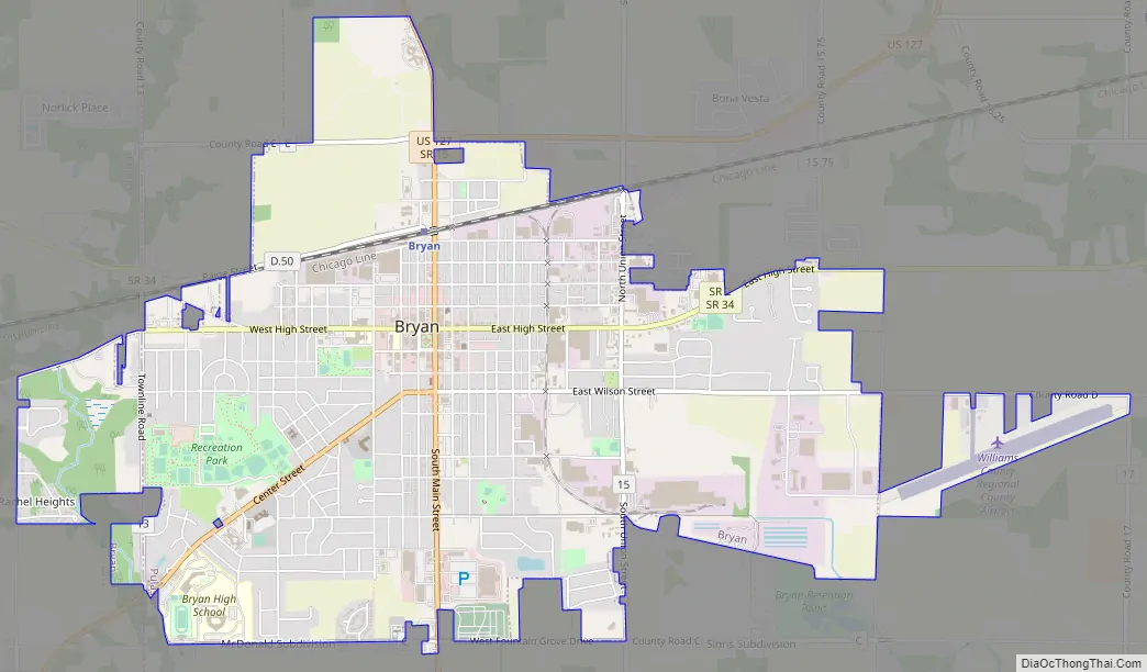
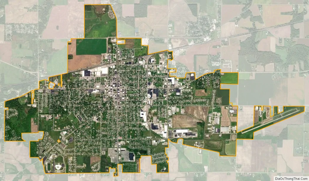
Bryan city Satellite Map
Geography
Bryan is located at 41°28′22″N 84°33′7″W / 41.47278°N 84.55194°W / 41.47278; -84.55194 (41.472692, -84.551928).
According to the United States Census Bureau, the city has a total area of 5.56 square miles (14.40 km), of which 5.53 square miles (14.32 km) is land and 0.03 square miles (0.08 km) is water.
See also
Map of Ohio State and its subdivision:- Adams
- Allen
- Ashland
- Ashtabula
- Athens
- Auglaize
- Belmont
- Brown
- Butler
- Carroll
- Champaign
- Clark
- Clermont
- Clinton
- Columbiana
- Coshocton
- Crawford
- Cuyahoga
- Darke
- Defiance
- Delaware
- Erie
- Fairfield
- Fayette
- Franklin
- Fulton
- Gallia
- Geauga
- Greene
- Guernsey
- Hamilton
- Hancock
- Hardin
- Harrison
- Henry
- Highland
- Hocking
- Holmes
- Huron
- Jackson
- Jefferson
- Knox
- Lake
- Lake Erie
- Lawrence
- Licking
- Logan
- Lorain
- Lucas
- Madison
- Mahoning
- Marion
- Medina
- Meigs
- Mercer
- Miami
- Monroe
- Montgomery
- Morgan
- Morrow
- Muskingum
- Noble
- Ottawa
- Paulding
- Perry
- Pickaway
- Pike
- Portage
- Preble
- Putnam
- Richland
- Ross
- Sandusky
- Scioto
- Seneca
- Shelby
- Stark
- Summit
- Trumbull
- Tuscarawas
- Union
- Van Wert
- Vinton
- Warren
- Washington
- Wayne
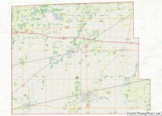
- Williams
- Wood
- Wyandot
- Alabama
- Alaska
- Arizona
- Arkansas
- California
- Colorado
- Connecticut
- Delaware
- District of Columbia
- Florida
- Georgia
- Hawaii
- Idaho
- Illinois
- Indiana
- Iowa
- Kansas
- Kentucky
- Louisiana
- Maine
- Maryland
- Massachusetts
- Michigan
- Minnesota
- Mississippi
- Missouri
- Montana
- Nebraska
- Nevada
- New Hampshire
- New Jersey
- New Mexico
- New York
- North Carolina
- North Dakota
- Ohio
- Oklahoma
- Oregon
- Pennsylvania
- Rhode Island
- South Carolina
- South Dakota
- Tennessee
- Texas
- Utah
- Vermont
- Virginia
- Washington
- West Virginia
- Wisconsin
- Wyoming