Zanesville is a city in and the county seat of Muskingum County, Ohio, United States. Located at the confluence of the Licking and Muskingum rivers, the city is approximately 52 miles (84 km) east of Columbus and had a population of 24,765 as of the 2020 census, down from 25,487 as of the 2010 census. Historically the state capital of Ohio from 1810 to 1812, Zanesville anchors the Zanesville micropolitan area (population 86,183) and is part of the greater Columbus-Marion-Zanesville combined statistical area.
| Name: | Zanesville city |
|---|---|
| LSAD Code: | 25 |
| LSAD Description: | city (suffix) |
| State: | Ohio |
| County: | Muskingum County |
| Elevation: | 676 ft (206 m) |
| Total Area: | 12.13 sq mi (31.41 km²) |
| Land Area: | 11.78 sq mi (30.50 km²) |
| Water Area: | 0.35 sq mi (0.91 km²) |
| Total Population: | 24,765 |
| Population Density: | 2,102.83/sq mi (811.92/km²) |
| Area code: | 740 |
| FIPS code: | 3988084 |
| GNISfeature ID: | 1071002 |
| Website: | www.coz.org |
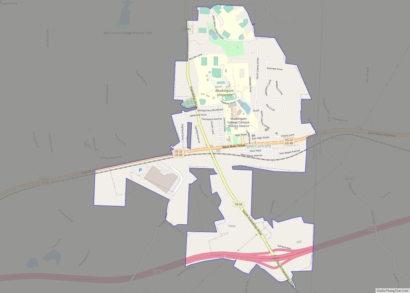
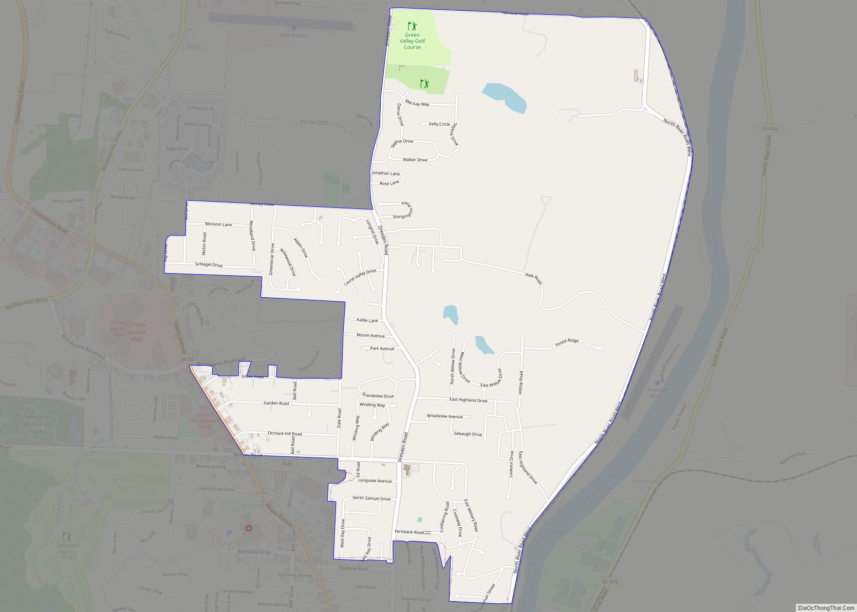
Online Interactive Map
Click on ![]() to view map in "full screen" mode.
to view map in "full screen" mode.
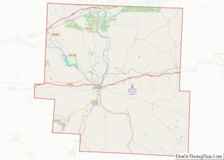
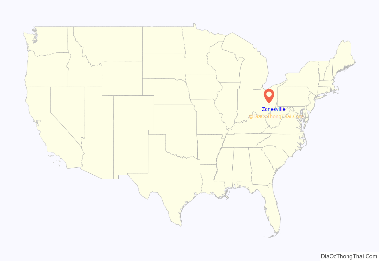
Zanesville location map. Where is Zanesville city?
History
Zanesville was named after Ebenezer Zane (1747–1811), who had blazed Zane’s Trace, a pioneer trail from Wheeling, Virginia (now in West Virginia) to Maysville, Kentucky through present-day Ohio. In 1797, he remitted land as payment to his son-in-law, John McIntire (1759–1815), at the point where Zane’s Trace met the Muskingum River. With the assistance of Zane, McIntire platted the town, opened an inn and ferry by 1799. In 1801, Zanesville was officially renamed, formerly Westbourne, the chosen name for the settlement by Zane.
From 1810 to 1812, the city was the second state capital of Ohio. The National Road courses through Zanesville as U.S. Route 40. The city grew quickly in the 1820s–1850s. The city and the city of Putnam (eastern side of Muskingum River) from the 1840s until the Civil War broke out was part of the ‘Underground Railroad’. In excess of 5,000 Union soldiers, along with hundreds of townsfolk, were stationed in the Zanesville area to protect the city in 1863 during Morgan’s Raid. Novelist Zane Grey, a descendant of the Zane family, was born in the city.
After the Civil War, the city grew in size and gained prominence in the State for manufacturing and textiles. The city was also notoriously known for its bootlegging activities in the Prohibition era. From the 1820s until the 1970s, Downtown Zanesville was the premiere economic center of the city with various factories, offices, small to large stores, many small/large hotels, over a dozen stage/movie theaters, nearly twenty churches, and nearby neighborhoods (inhabited mainly by persons of Irish or German ethnicity).
In 1872, Zanesville annexed the adjacent community of Putnam. It is now the Putnam Historic District of Zanesville.
The city was historically known as a center for pottery manufacturing; in the first half of the 20th century, more than a dozen potteries operated in the city and the surrounding areas. Bolstered by ample local clay deposits and rivers, the area produced both art pottery and functional, utilitarian pottery. Notable pottery manufacturers that operated in the area included the S.A. Weller Pottery Company, J. B. Owens Pottery Company, Roseville Pottery Company, American Encaustic Tiling Company, and the Mosaic Tile Company. The city peaked economically in the 1950s, and like many cities experienced a post-industrial decline. The city today has a relatively high level of chronic poverty and unemployment and a relatively low level of labor force participation and educational attainment.
Since the 1970s, the downtown has been on the decline with mainly banks, law offices, churches and small shops, but the city continues to work on its image and business potential.
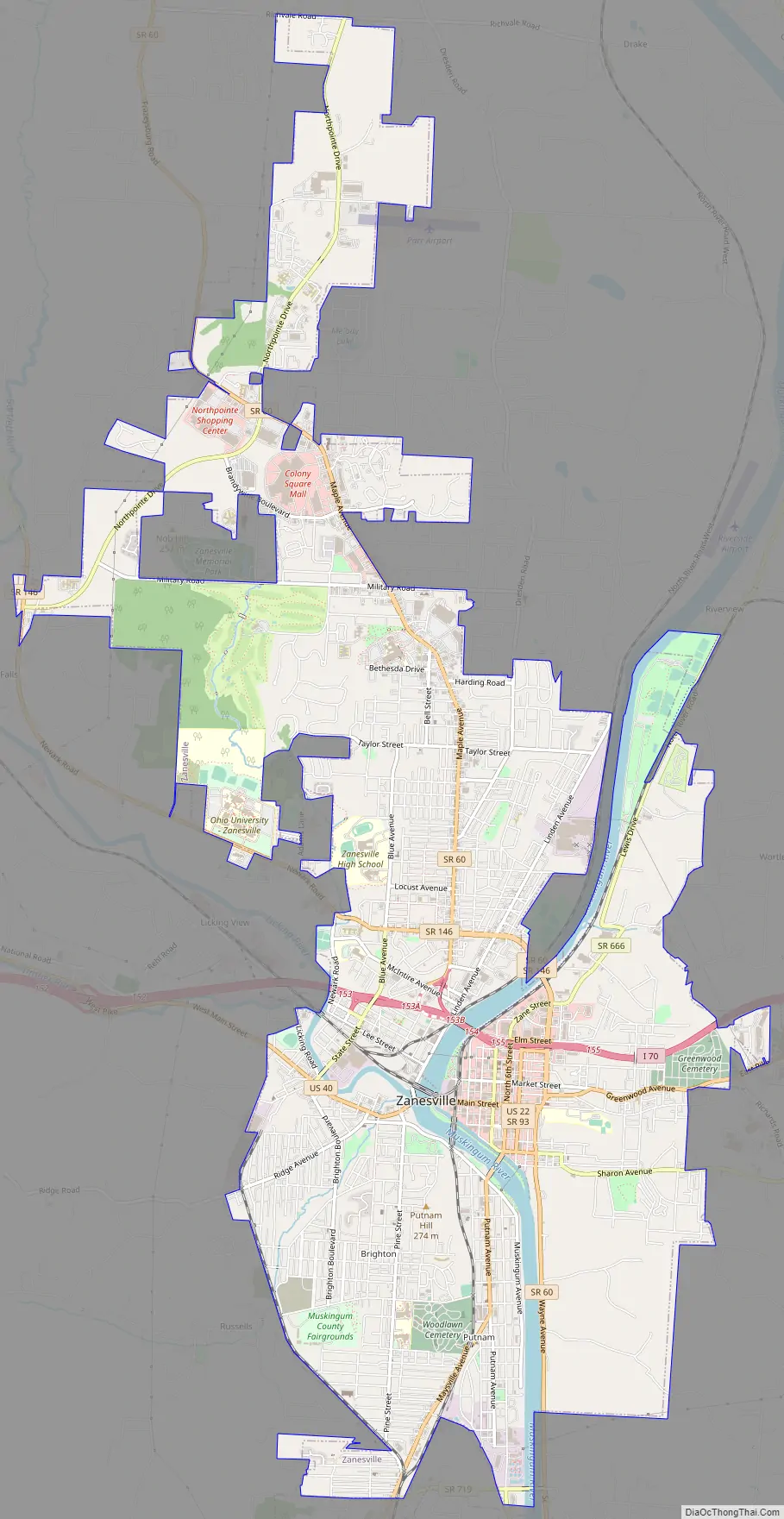
Zanesville Road Map
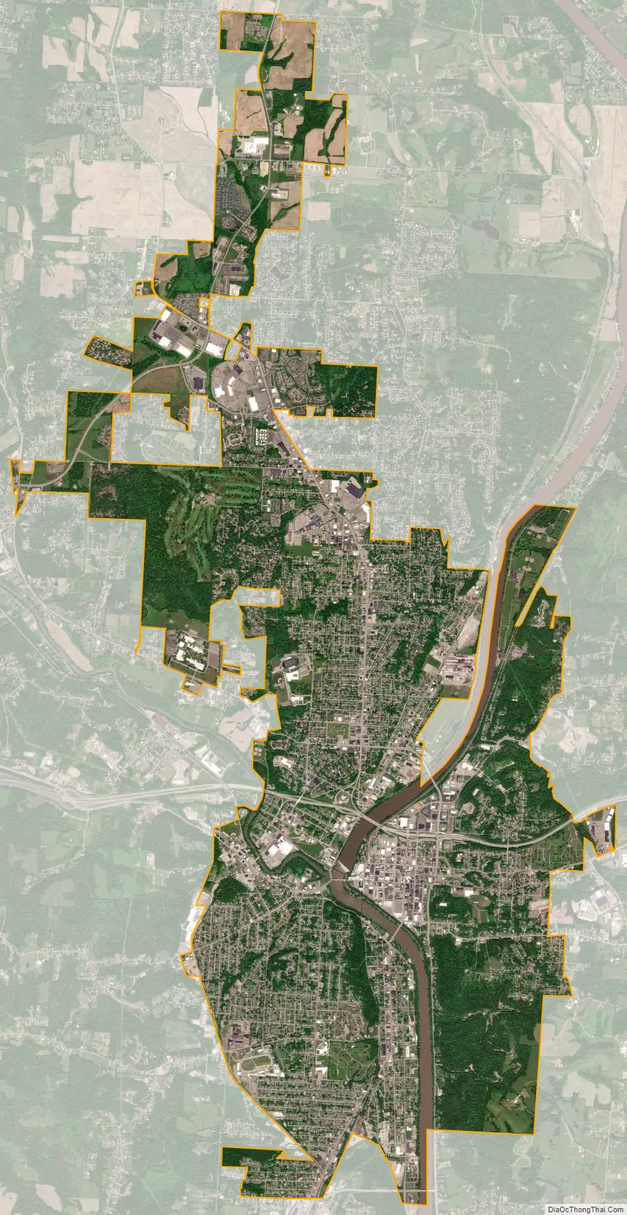
Zanesville city Satellite Map
Geography
Zanesville is located along the Muskingum River at its confluence with the Licking River. It is located 23 mi (37 km) west of Cambridge and 52 mi (84 km) east of Columbus.
According to the United States Census Bureau, the city has a total area of 12.14 square miles (31.44 km), of which 11.77 square miles (30.48 km) is land and 0.37 square miles (0.96 km) is water.
The area has important deposits of clay which were exploited by a number of pottery companies in the first half of the twentieth century, including Roseville pottery, Weller pottery, the J. B. Owens Pottery Company, the Zanesville Stoneware Company, the Mosaic Tile Company, the American Encaustic Tiling Company, and the T.B. Townsend Brick Yard under the ownership of T.B. Townsend.
Climate
See also
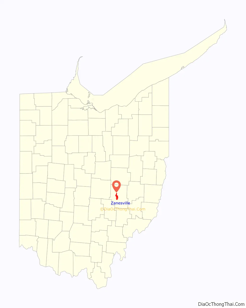
Map of Ohio State and its subdivision:- Adams
- Allen
- Ashland
- Ashtabula
- Athens
- Auglaize
- Belmont
- Brown
- Butler
- Carroll
- Champaign
- Clark
- Clermont
- Clinton
- Columbiana
- Coshocton
- Crawford
- Cuyahoga
- Darke
- Defiance
- Delaware
- Erie
- Fairfield
- Fayette
- Franklin
- Fulton
- Gallia
- Geauga
- Greene
- Guernsey
- Hamilton
- Hancock
- Hardin
- Harrison
- Henry
- Highland
- Hocking
- Holmes
- Huron
- Jackson
- Jefferson
- Knox
- Lake
- Lake Erie
- Lawrence
- Licking
- Logan
- Lorain
- Lucas
- Madison
- Mahoning
- Marion
- Medina
- Meigs
- Mercer
- Miami
- Monroe
- Montgomery
- Morgan
- Morrow
- Muskingum
- Noble
- Ottawa
- Paulding
- Perry
- Pickaway
- Pike
- Portage
- Preble
- Putnam
- Richland
- Ross
- Sandusky
- Scioto
- Seneca
- Shelby
- Stark
- Summit
- Trumbull
- Tuscarawas
- Union
- Van Wert
- Vinton
- Warren
- Washington
- Wayne
- Williams
- Wood
- Wyandot
- Alabama
- Alaska
- Arizona
- Arkansas
- California
- Colorado
- Connecticut
- Delaware
- District of Columbia
- Florida
- Georgia
- Hawaii
- Idaho
- Illinois
- Indiana
- Iowa
- Kansas
- Kentucky
- Louisiana
- Maine
- Maryland
- Massachusetts
- Michigan
- Minnesota
- Mississippi
- Missouri
- Montana
- Nebraska
- Nevada
- New Hampshire
- New Jersey
- New Mexico
- New York
- North Carolina
- North Dakota
- Ohio
- Oklahoma
- Oregon
- Pennsylvania
- Rhode Island
- South Carolina
- South Dakota
- Tennessee
- Texas
- Utah
- Vermont
- Virginia
- Washington
- West Virginia
- Wisconsin
- Wyoming