King City is a city in Washington County, Oregon, United States. Its name was picked arbitrarily by the Tualatin Development Company, Inc., which used a royalty theme in naming the city streets. The population was 3,111 at the 2010 census. Fire protection and EMS services are provided through Tualatin Valley Fire and Rescue.
| Name: | King City city |
|---|---|
| LSAD Code: | 25 |
| LSAD Description: | city (suffix) |
| State: | Oregon |
| County: | Washington County |
| Incorporated: | 1966 |
| Elevation: | 213 ft (65 m) |
| Total Area: | 0.81 sq mi (2.10 km²) |
| Land Area: | 0.81 sq mi (2.10 km²) |
| Water Area: | 0.00 sq mi (0.00 km²) |
| Total Population: | 5,184 |
| Population Density: | 6,392.11/sq mi (2,467.36/km²) |
| ZIP code: | 97224 |
| Area code: | 503 and 971 |
| FIPS code: | 4139150 |
| GNISfeature ID: | 1129800 |
| Website: | www.ci.king-city.or.us |
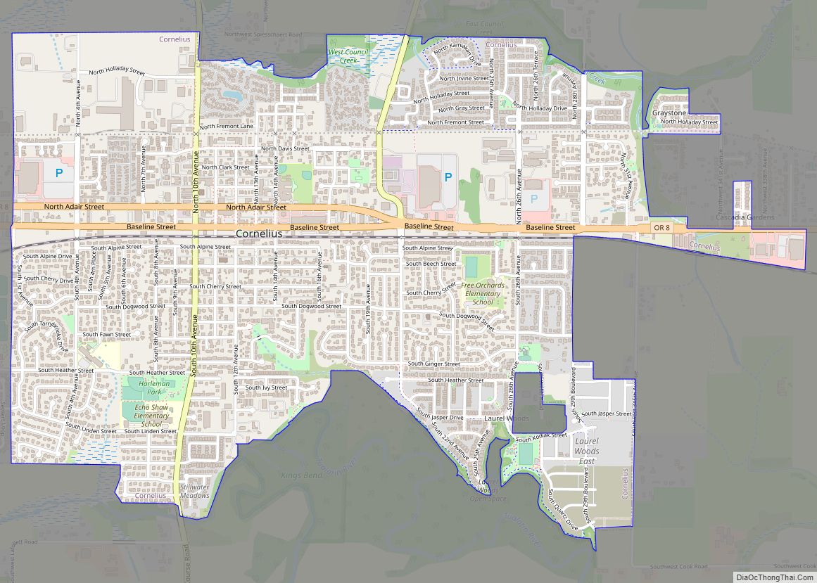
Online Interactive Map
Click on ![]() to view map in "full screen" mode.
to view map in "full screen" mode.
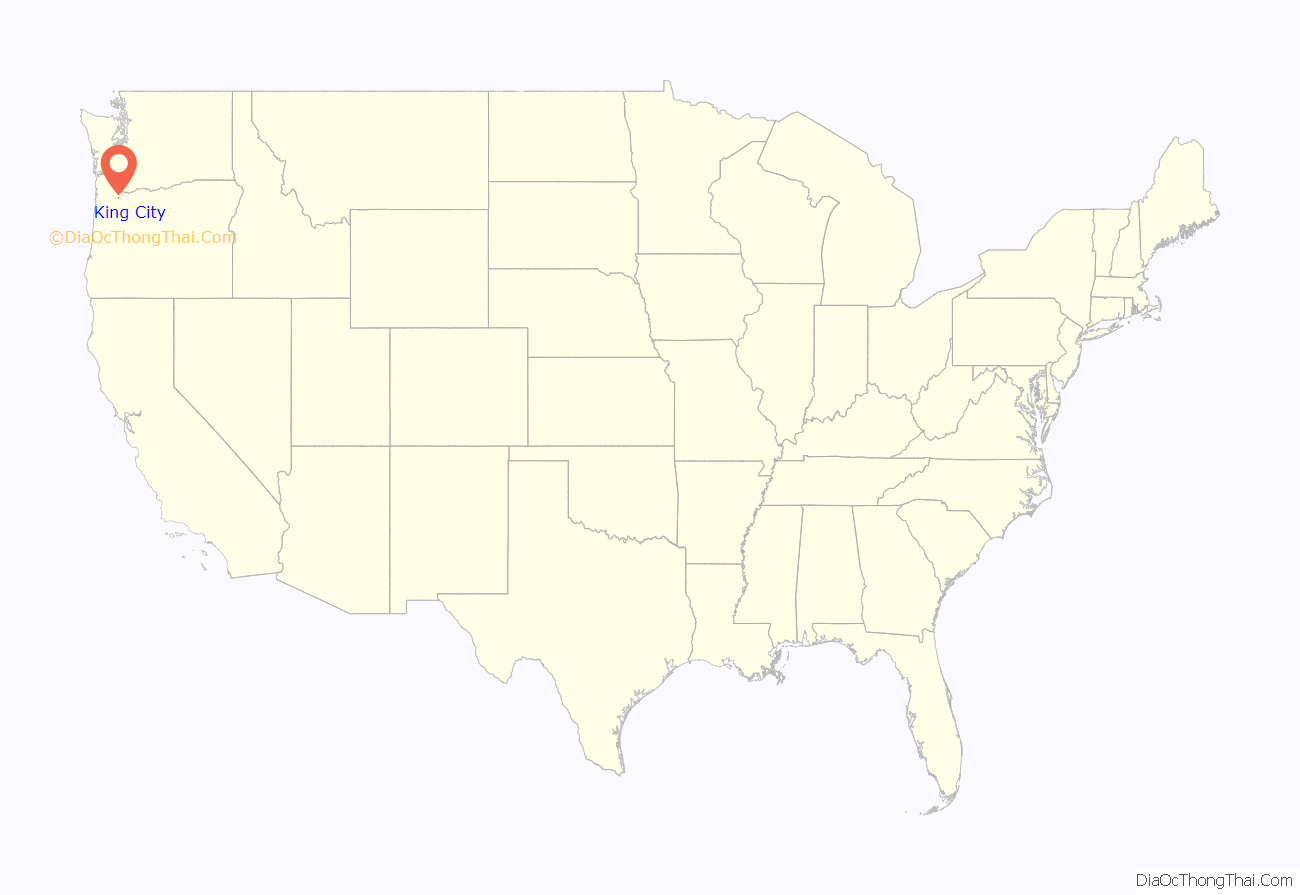
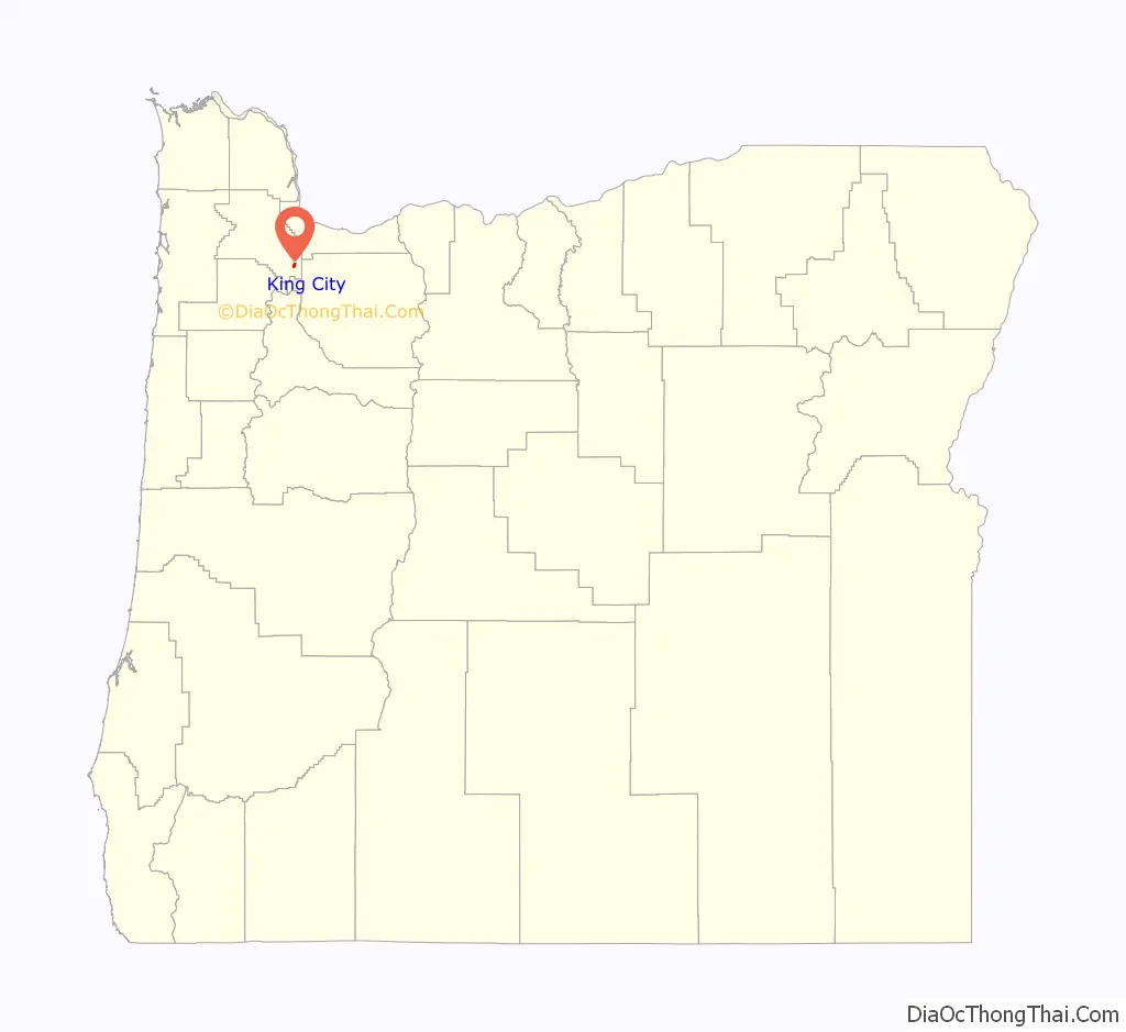
King City location map. Where is King City city?
History
The community was built by the Tualatin Development Company starting in 1964. Created as a planned community for adults, King City was incorporated in March 1966. Build-out of the original 273 acres (110 ha) finished about 1978. Originally, King City was developed as an age-restricted community governed by the rules of the King City Civic Association (KCCA) in which people under 50 could not live in the city.
The KCCA rules were later changed to conform to the 1988 amendments to the Federal Fair Housing Act, which set the age restriction to 55 or older. Later, the city, which was at first contiguous with the boundaries of KCCA, expanded to include newer, non-age restricted developments. Future expansion to the west is planned for the city, within the limits of the Portland Metropolitan Urban Growth Boundary.
King City Road Map
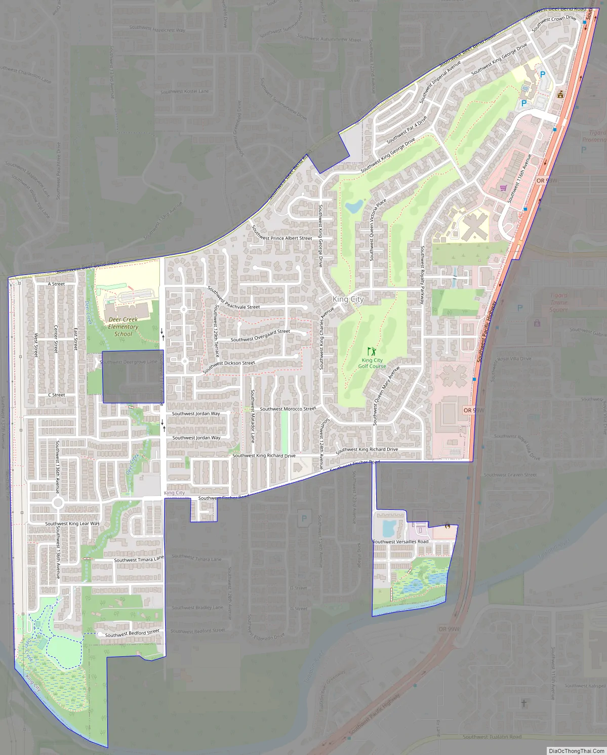
King City city Satellite Map

Geography
According to the United States Census Bureau, the city has a total area of 0.72 square miles (1.86 km), all of it land.
See also
Map of Oregon State and its subdivision: Map of other states:- Alabama
- Alaska
- Arizona
- Arkansas
- California
- Colorado
- Connecticut
- Delaware
- District of Columbia
- Florida
- Georgia
- Hawaii
- Idaho
- Illinois
- Indiana
- Iowa
- Kansas
- Kentucky
- Louisiana
- Maine
- Maryland
- Massachusetts
- Michigan
- Minnesota
- Mississippi
- Missouri
- Montana
- Nebraska
- Nevada
- New Hampshire
- New Jersey
- New Mexico
- New York
- North Carolina
- North Dakota
- Ohio
- Oklahoma
- Oregon
- Pennsylvania
- Rhode Island
- South Carolina
- South Dakota
- Tennessee
- Texas
- Utah
- Vermont
- Virginia
- Washington
- West Virginia
- Wisconsin
- Wyoming