West Haven-Sylvan is a census-designated place (CDP) in Washington and Multnomah counties, Oregon, United States, north of U.S. Route 26. As of the 2020 census, the CDP population was 9,299.
| Name: | West Haven-Sylvan CDP |
|---|---|
| LSAD Code: | 57 |
| LSAD Description: | CDP (suffix) |
| State: | Oregon |
| County: | Multnomah County, Washington County |
| Total Area: | 2.26 sq mi (5.86 km²) |
| Land Area: | 2.26 sq mi (5.86 km²) |
| Water Area: | 0.00 sq mi (0.00 km²) |
| Total Population: | 9,299 |
| Population Density: | 4,109.15/sq mi (1,586.51/km²) |
| FIPS code: | 4180025 |
Online Interactive Map
Click on ![]() to view map in "full screen" mode.
to view map in "full screen" mode.
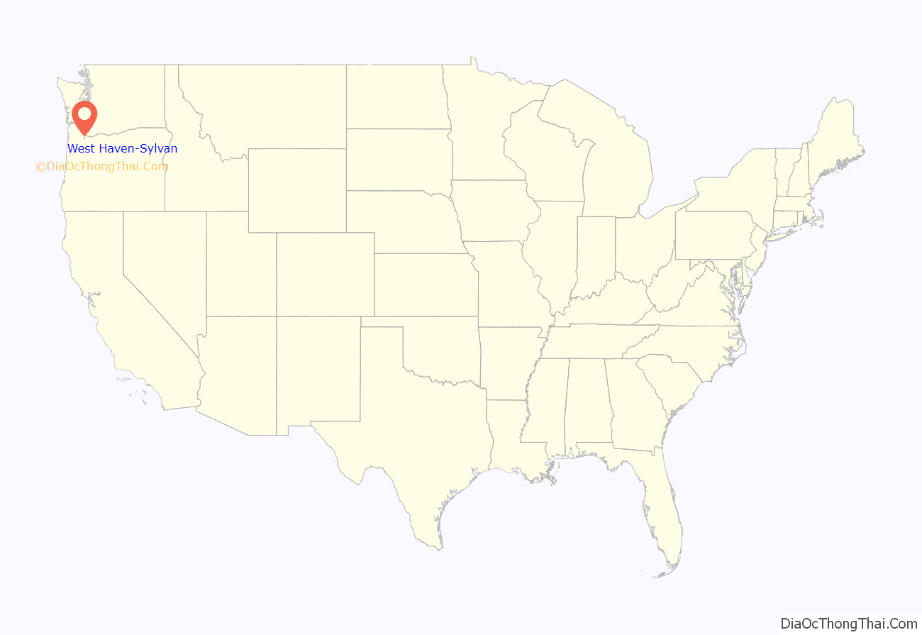
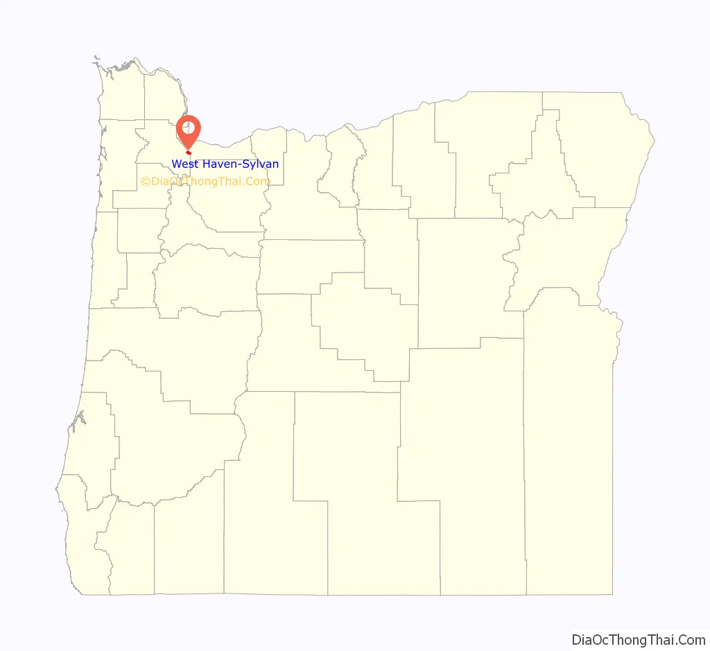
West Haven-Sylvan location map. Where is West Haven-Sylvan CDP?
History
In 1850, Nathan B. Jones, a pioneer of 1847, settled at the head of Tanner Creek and platted lots for a community he called “Zion Town”. It is unknown if he named the place for Mount Zion, a summit located about a mile to the southeast. Because the name “Zion” for a local post office would have caused confusion, as there had already been two post offices so-named in Oregon, a resident suggested the name “Sylvan”, from the Roman deity of the woods Silvanus. The office was established in 1890 and it closed in 1906. Jones, who was considered an eccentric hermit, had wanted Zion Town to become the new capitol of Oregon. He was murdered during the course of a robbery in 1894. Sylvan post office was located at what today is the interchange of Sunset Highway, Scholls Ferry Road and Skyline Boulevard within the Portland city limits in Multnomah County.
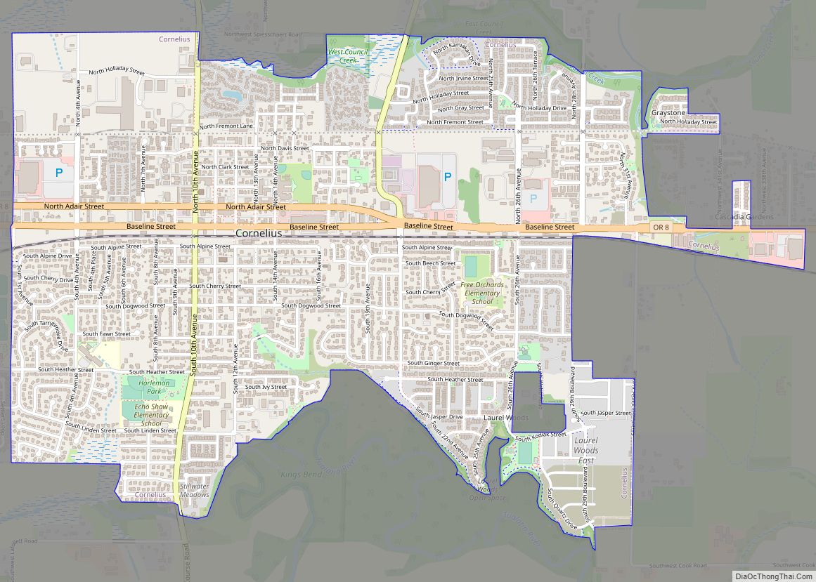
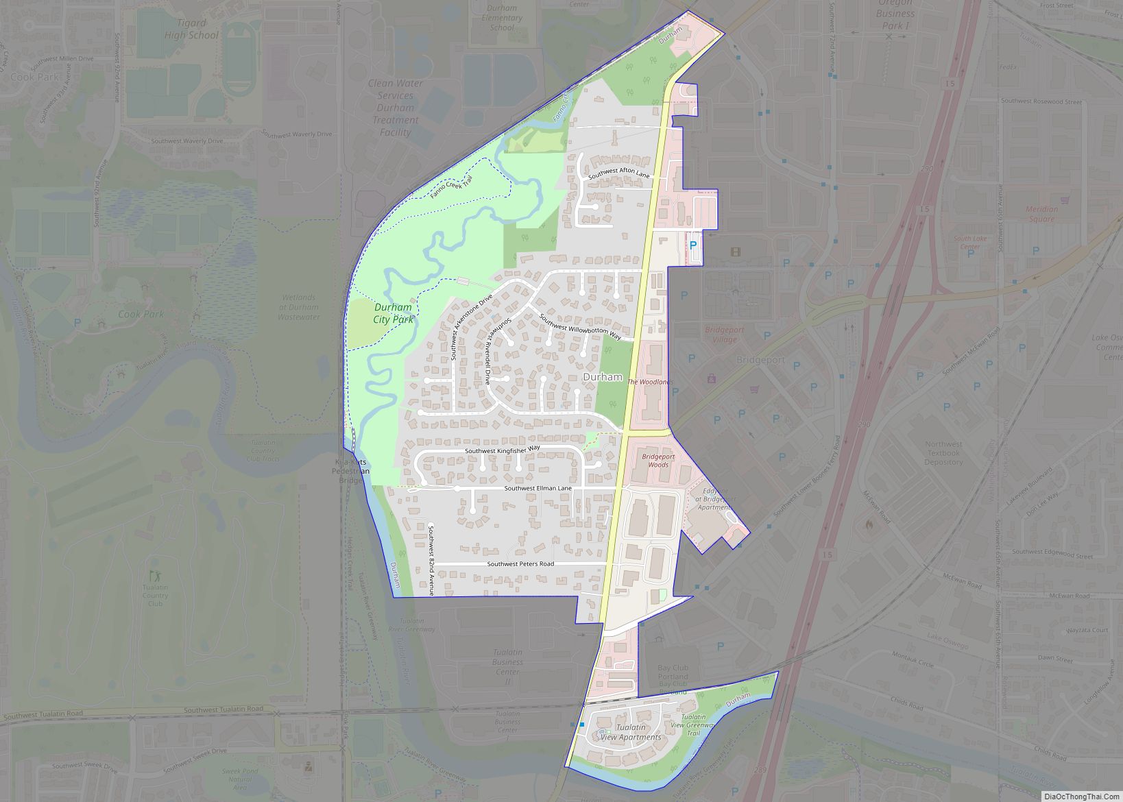
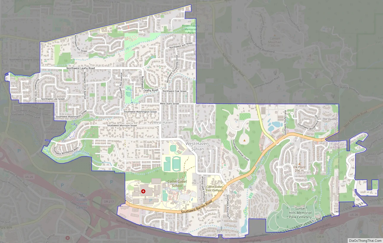
West Haven-Sylvan Road Map
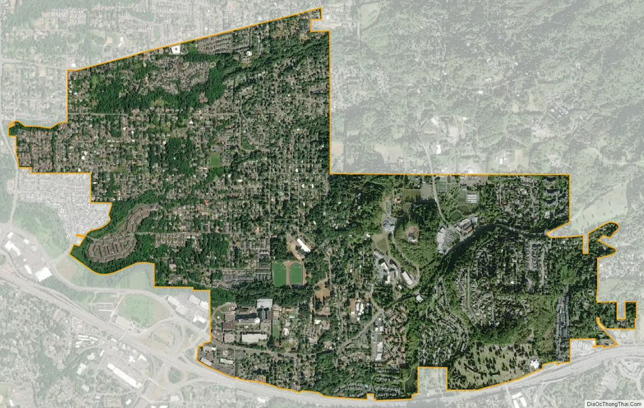
West Haven-Sylvan city Satellite Map
Geography
According to the United States Census Bureau, the CDP has a total area of 2.3 square miles (6.0 km), all land.
See also
Map of Oregon State and its subdivision: Map of other states:- Alabama
- Alaska
- Arizona
- Arkansas
- California
- Colorado
- Connecticut
- Delaware
- District of Columbia
- Florida
- Georgia
- Hawaii
- Idaho
- Illinois
- Indiana
- Iowa
- Kansas
- Kentucky
- Louisiana
- Maine
- Maryland
- Massachusetts
- Michigan
- Minnesota
- Mississippi
- Missouri
- Montana
- Nebraska
- Nevada
- New Hampshire
- New Jersey
- New Mexico
- New York
- North Carolina
- North Dakota
- Ohio
- Oklahoma
- Oregon
- Pennsylvania
- Rhode Island
- South Carolina
- South Dakota
- Tennessee
- Texas
- Utah
- Vermont
- Virginia
- Washington
- West Virginia
- Wisconsin
- Wyoming