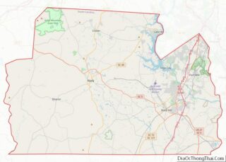
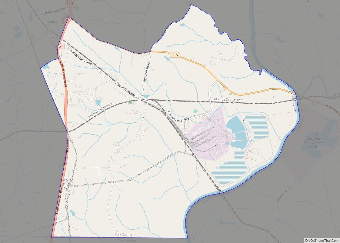
Catawba (cuh-TAW-buh) is an unincorporated community in York County, South Carolina, United States, southeast of the city of Rock Hill.
The community, Catawba, was once referred to as Catawba Ridge, but this name recently became unpopular. Only tribal elders from the Catawba Indian Reservation now refer to the community as Catawba Ridge.
| Name: | Catawba CDP |
|---|---|
| LSAD Code: | 57 |
| LSAD Description: | CDP (suffix) |
| State: | South Carolina |
| County: | York County |
| Elevation: | 561 ft (171 m) |
| Total Area: | 10.37 sq mi (26.86 km²) |
| Land Area: | 9.97 sq mi (25.82 km²) |
| Water Area: | 0.40 sq mi (1.04 km²) |
| Total Population: | 1,301 |
| Population Density: | 130.48/sq mi (50.38/km²) |
| ZIP code: | 29704 |
| Area code: | 803/839 |
| FIPS code: | 4512430 |
| GNISfeature ID: | 1249459 |
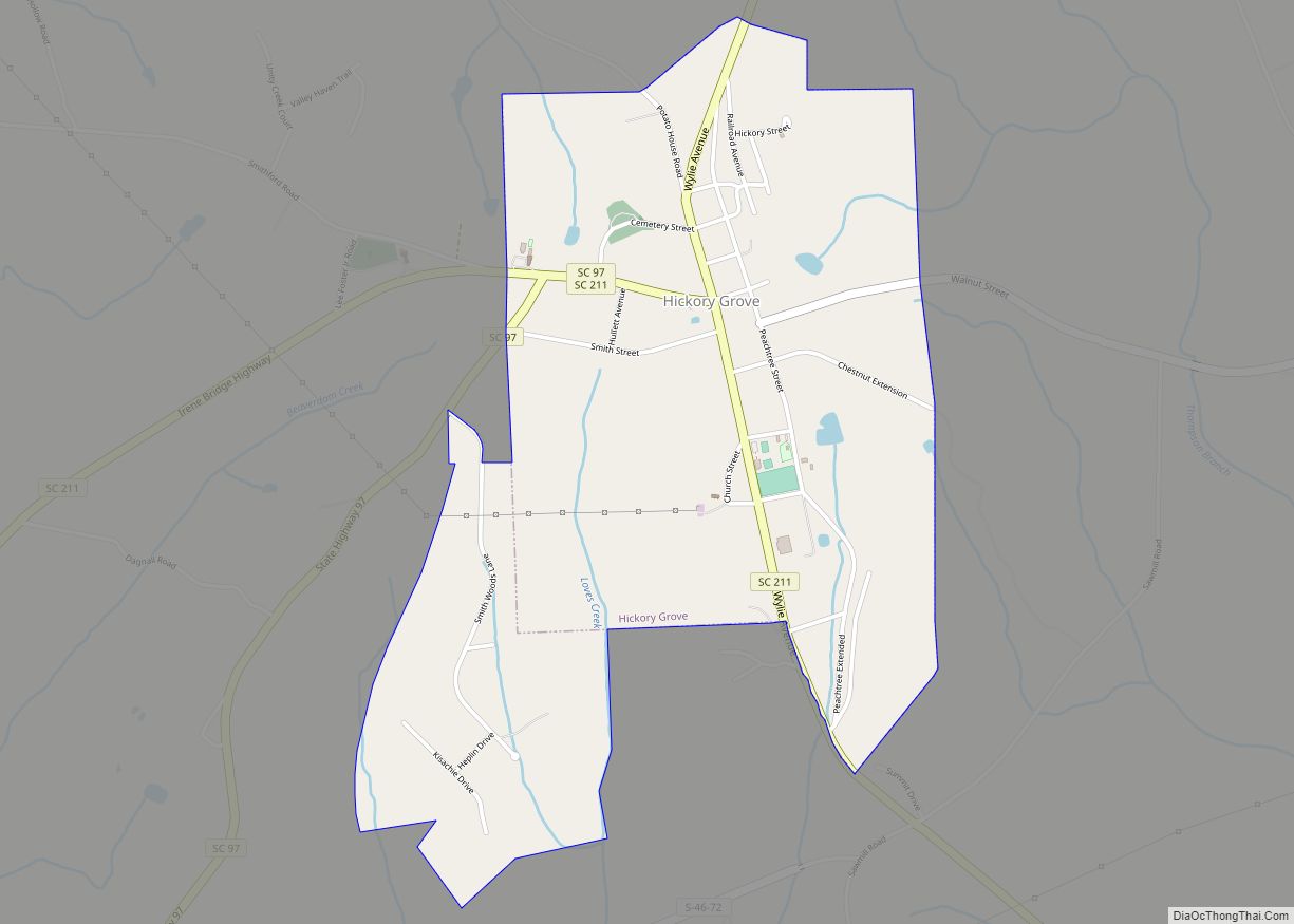
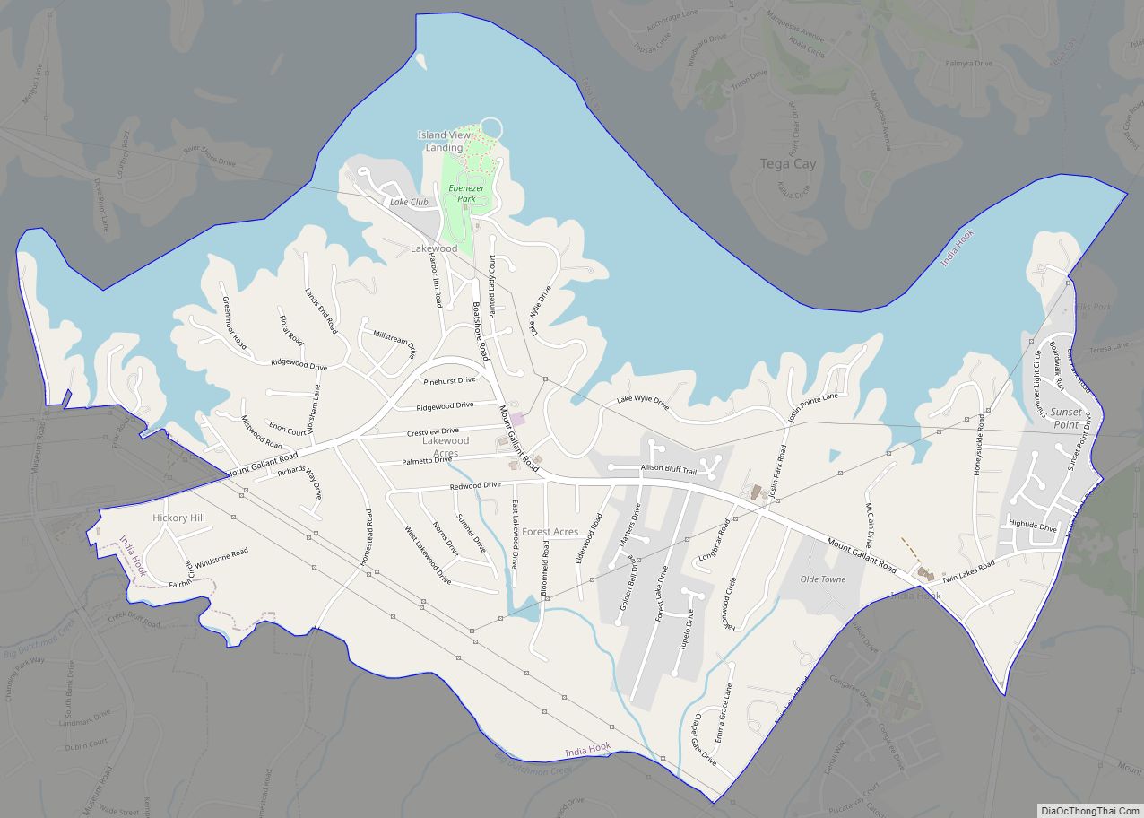
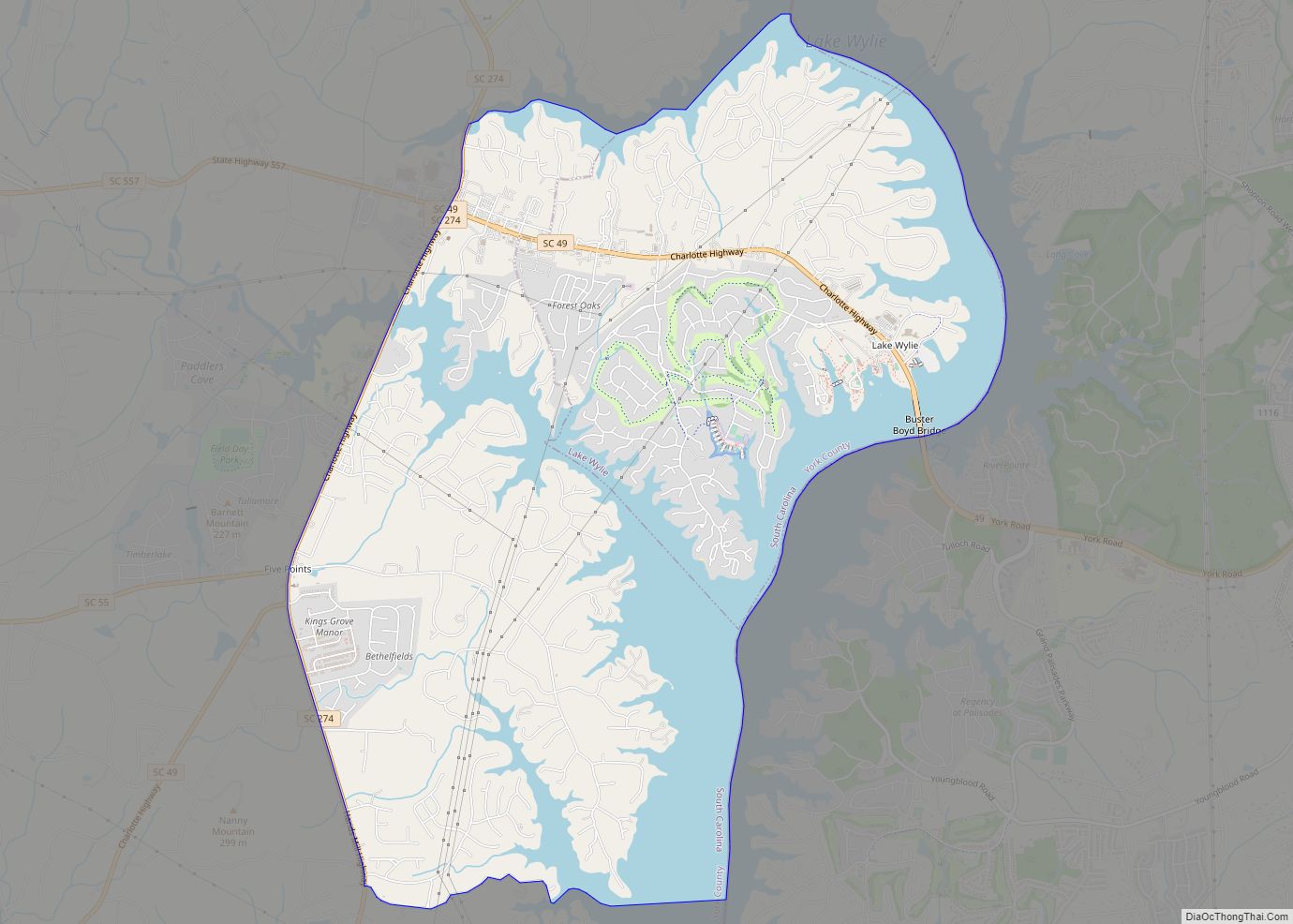
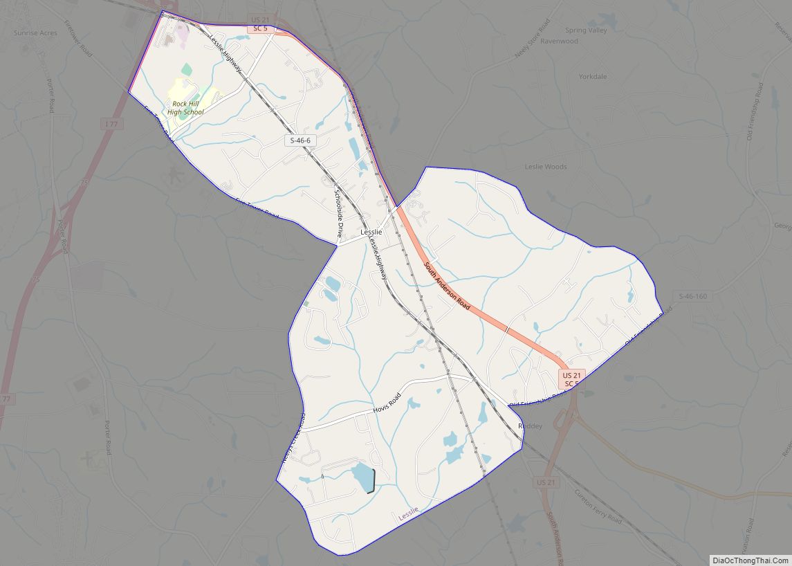
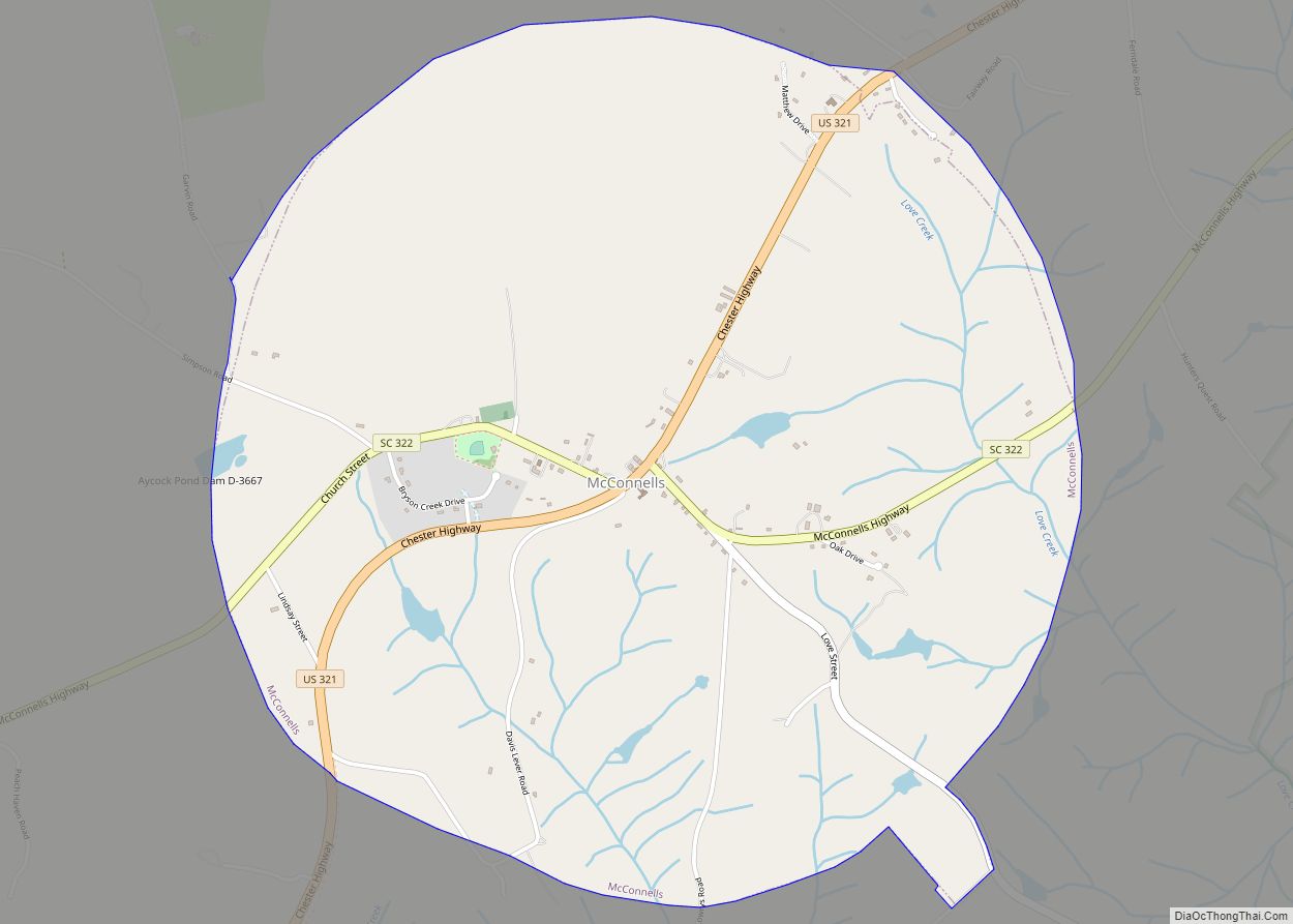
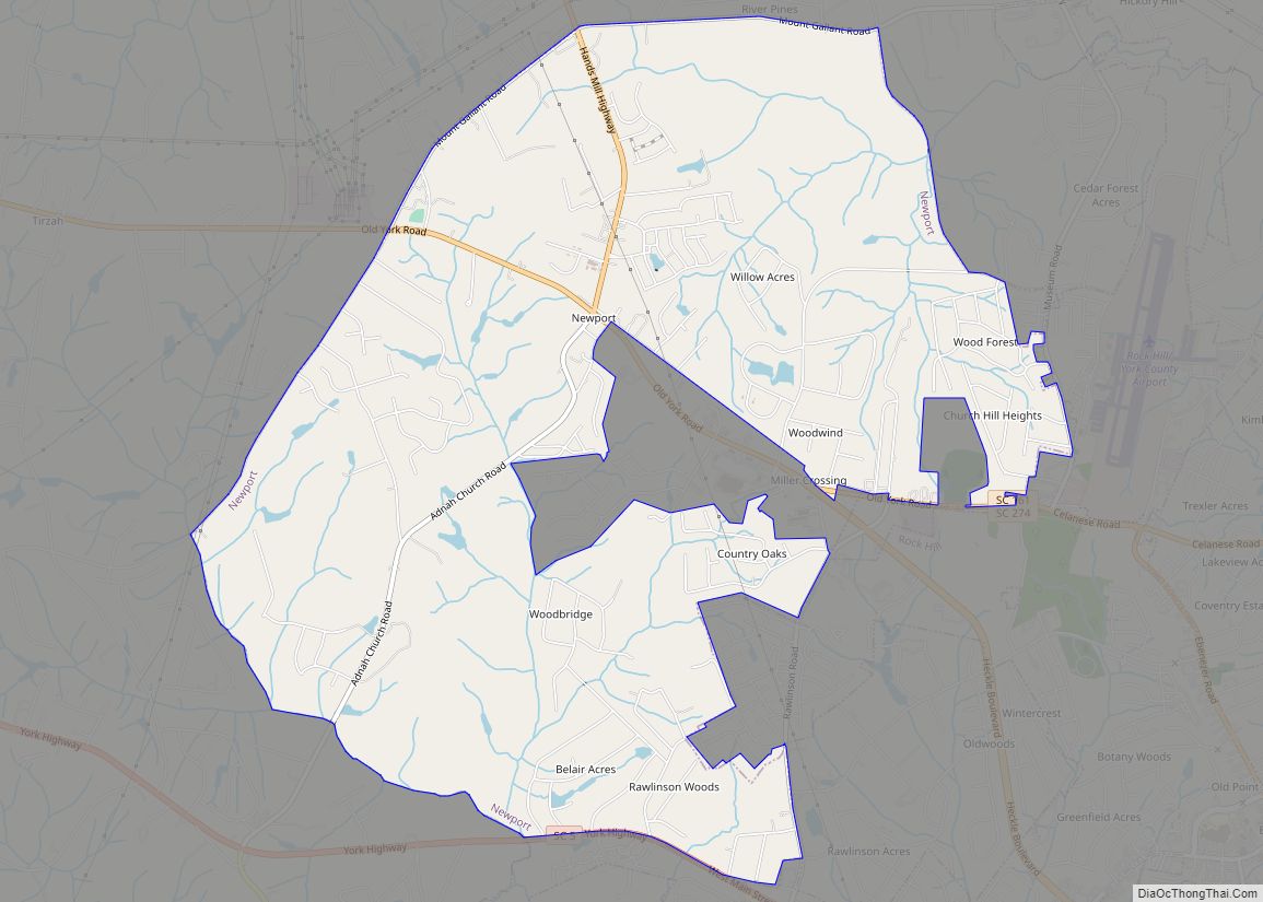
Online Interactive Map
Click on ![]() to view map in "full screen" mode.
to view map in "full screen" mode.
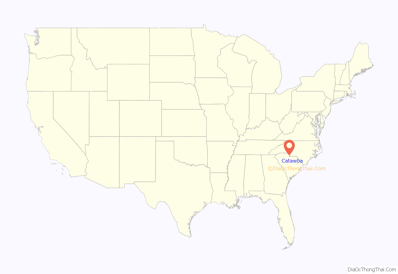
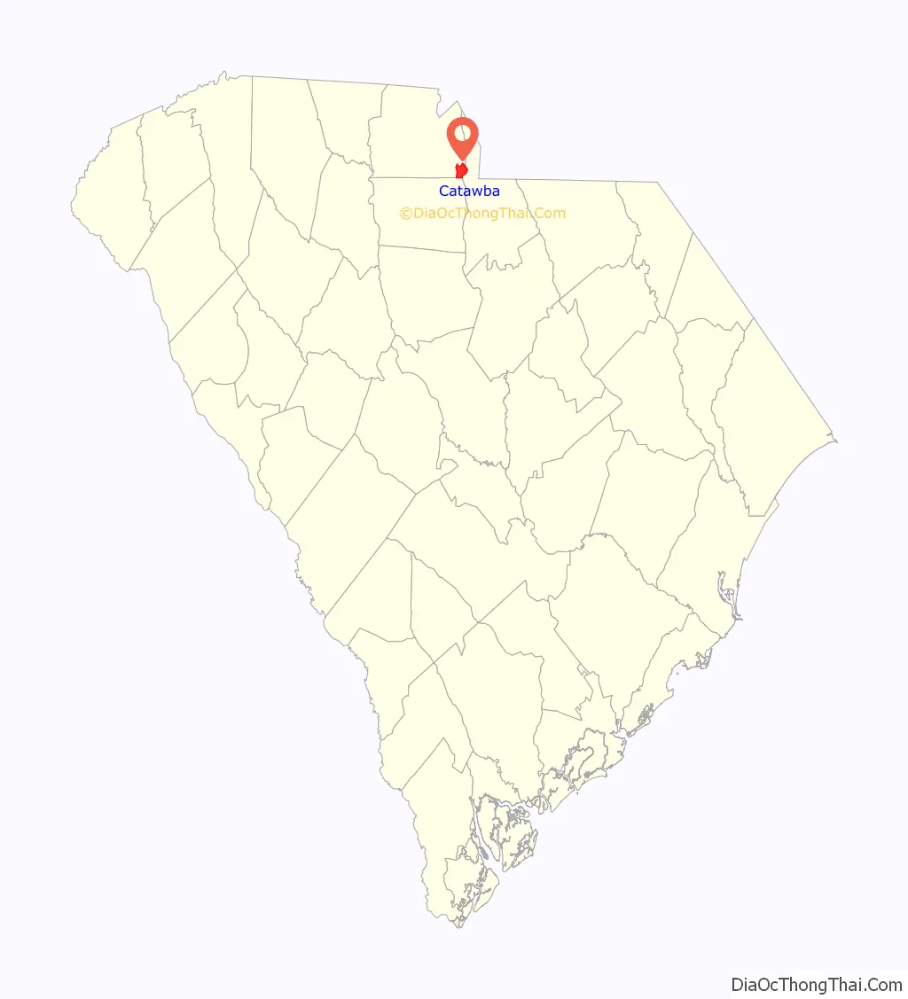
Catawba location map. Where is Catawba CDP?
History
The Catawba Native Americans first populated the area along the Catawba River more than 6,000 years ago. Settlers began to colonize the Piedmont region in 1670. The Catawba Natives believed in brotherly love and peace, so they created a friendly environment and relationship with the settlers. Along with the settlers there came new beginnings, tools, and diseases. In 1759, there was a smallpox epidemic that eventually brought the Native American tribe population to less than 1,000 people.
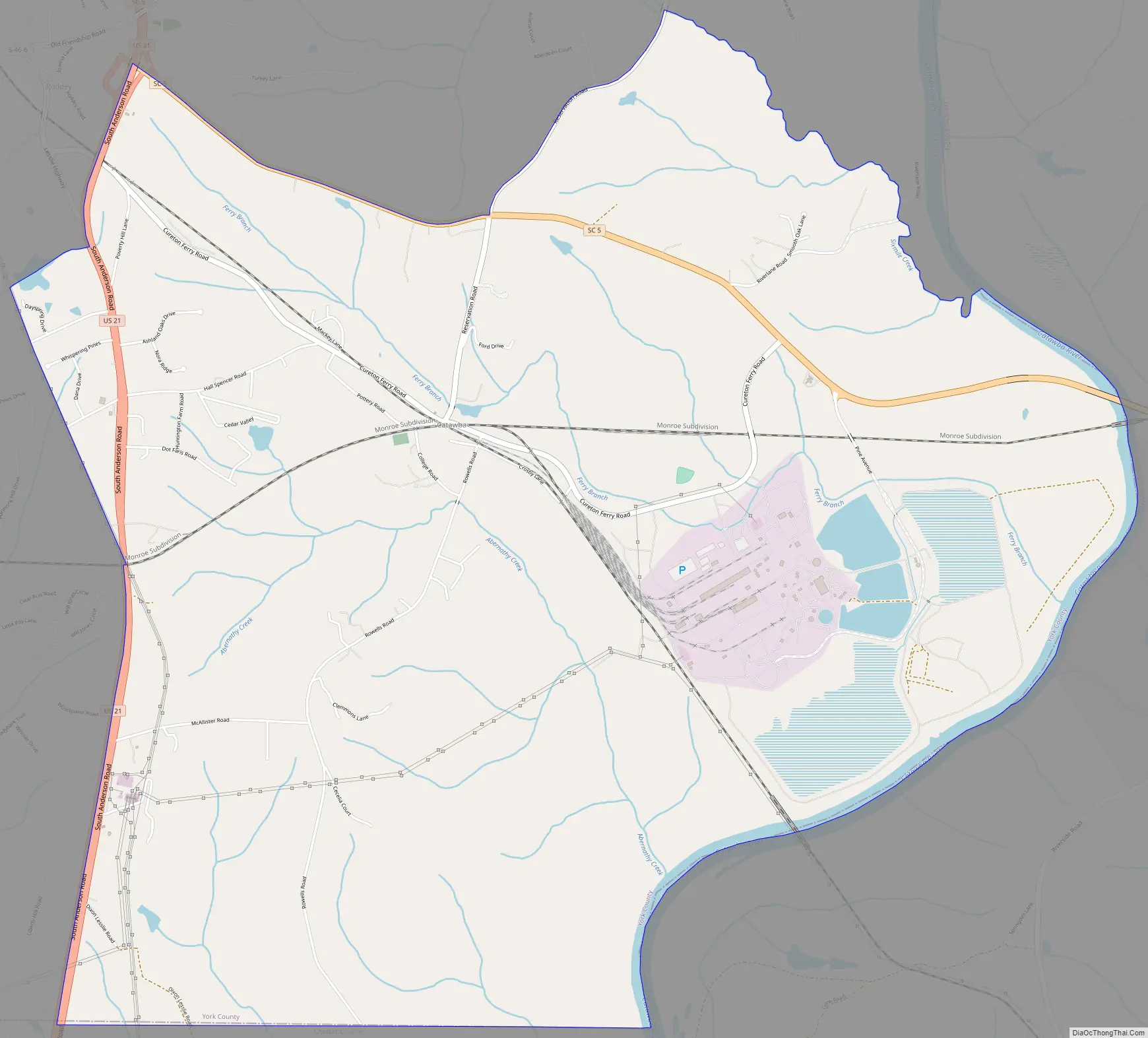
Catawba Road Map
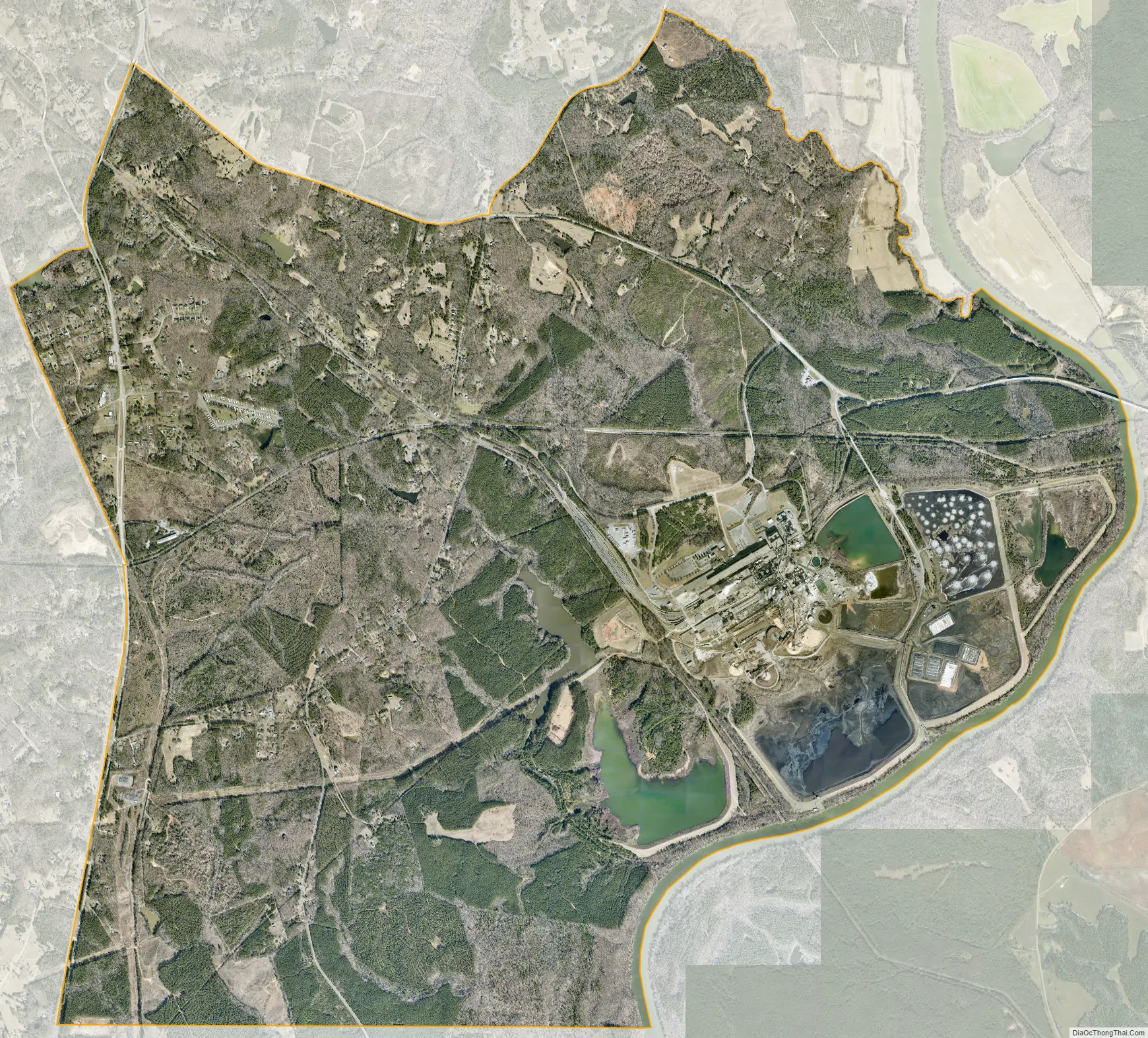
Catawba city Satellite Map
Geography
Catawba is located in the Piedmont (Foothills) region of South Carolina. Within the town limits of Catawba, there are certain areas of the land that consists of red clay. Red clay is the result of poor farming practices, which eventually led to the erosion of topsoil in the area. Prior to the erosion of topsoil, the Piedmont Region was once known for great farming.
See also
Map of South Carolina State and its subdivision:- Abbeville
- Aiken
- Allendale
- Anderson
- Bamberg
- Barnwell
- Beaufort
- Berkeley
- Calhoun
- Charleston
- Cherokee
- Chester
- Chesterfield
- Clarendon
- Colleton
- Darlington
- Dillon
- Dorchester
- Edgefield
- Fairfield
- Florence
- Georgetown
- Greenville
- Greenwood
- Hampton
- Horry
- Jasper
- Kershaw
- Lancaster
- Laurens
- Lee
- Lexington
- Marion
- Marlboro
- McCormick
- Newberry
- Oconee
- Orangeburg
- Pickens
- Richland
- Saluda
- Spartanburg
- Sumter
- Union
- Williamsburg
- York
- Alabama
- Alaska
- Arizona
- Arkansas
- California
- Colorado
- Connecticut
- Delaware
- District of Columbia
- Florida
- Georgia
- Hawaii
- Idaho
- Illinois
- Indiana
- Iowa
- Kansas
- Kentucky
- Louisiana
- Maine
- Maryland
- Massachusetts
- Michigan
- Minnesota
- Mississippi
- Missouri
- Montana
- Nebraska
- Nevada
- New Hampshire
- New Jersey
- New Mexico
- New York
- North Carolina
- North Dakota
- Ohio
- Oklahoma
- Oregon
- Pennsylvania
- Rhode Island
- South Carolina
- South Dakota
- Tennessee
- Texas
- Utah
- Vermont
- Virginia
- Washington
- West Virginia
- Wisconsin
- Wyoming