Clover is a town in York County, South Carolina, United States. It is located in the greater Charlotte metropolitan area. As of 2020, the population was at 6,671 within the town limits. Clover is twinned with the Northern Irish town of Larne on County Antrim’s East Coast.
| Name: | Clover town |
|---|---|
| LSAD Code: | 43 |
| LSAD Description: | town (suffix) |
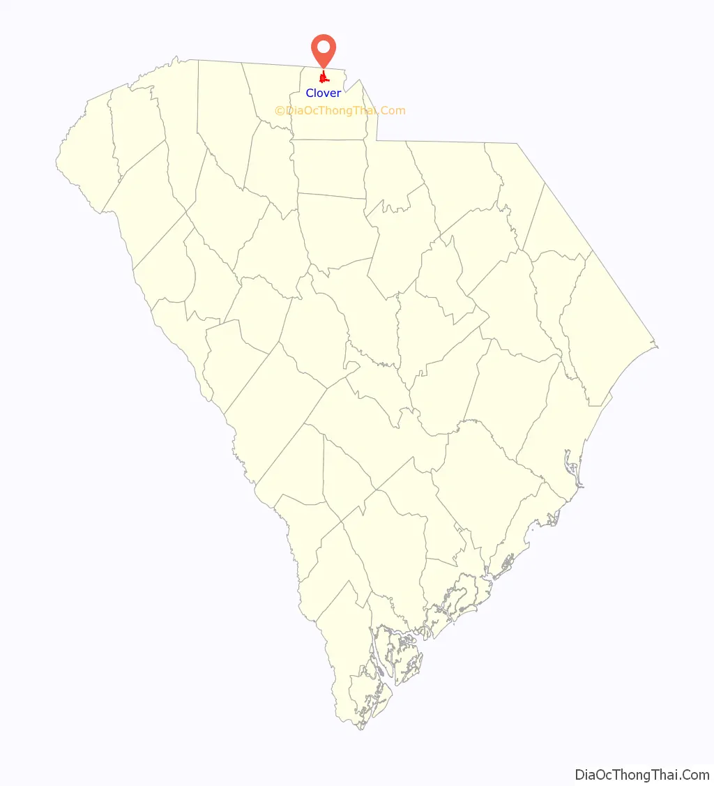
| State: | South Carolina |
| County: | York County |
| Elevation: | 810 ft (250 m) |
| Total Area: | 4.74 sq mi (12.28 km²) |
| Land Area: | 4.73 sq mi (12.25 km²) |
| Water Area: | 0.01 sq mi (0.03 km²) |
| Population Density: | 1,410.66/sq mi (544.65/km²) |
| ZIP code: | 29710 |
| Area code: | 803 |
| FIPS code: | 4515355 |
| GNISfeature ID: | 1221646 |
| Website: | www.cloversc.org |
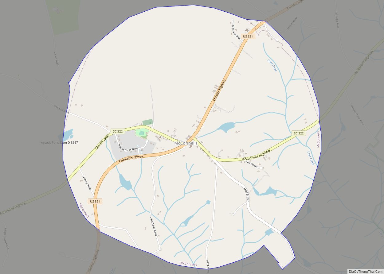
Online Interactive Map
Click on ![]() to view map in "full screen" mode.
to view map in "full screen" mode.
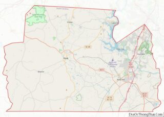
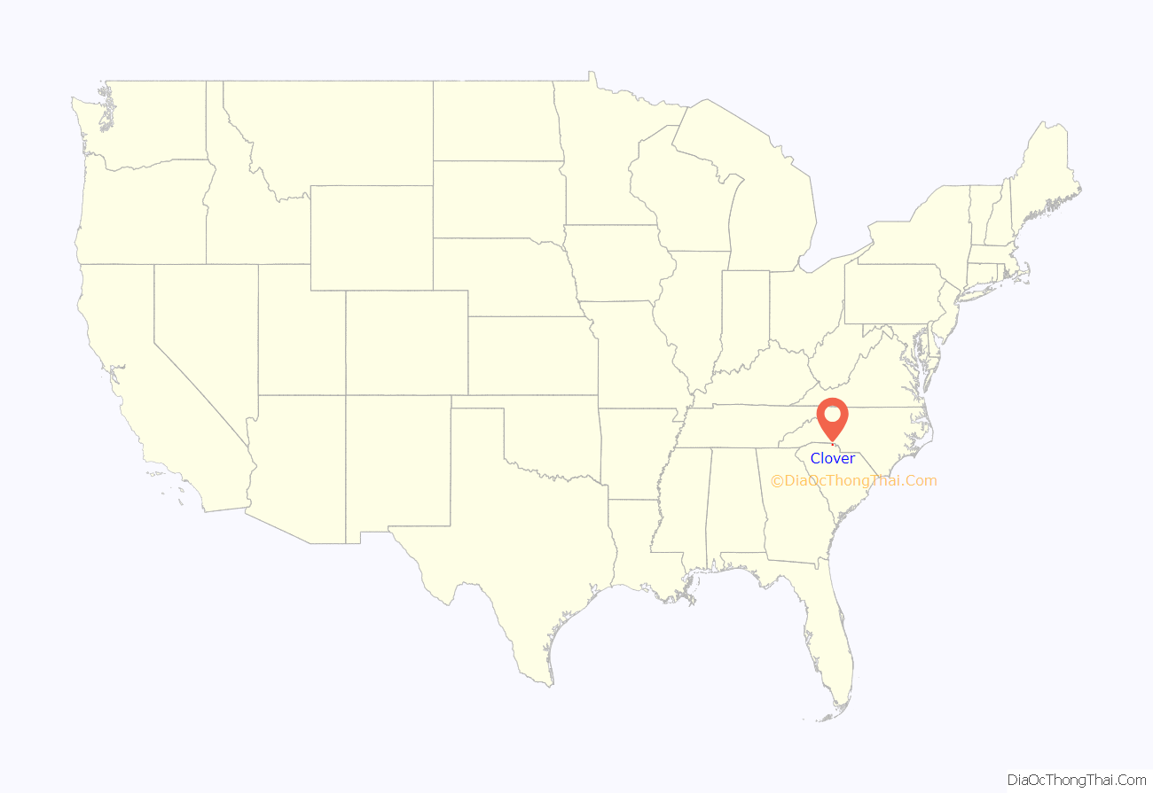
Clover location map. Where is Clover town?
History
Clover was founded just north of an earlier settlement, New Centre, which had waned during the Civil War. The pivotal American Revolutionary War battle of Kings Mountain occurred approximately eight miles to the west of modern-day Clover, on October 7, 1780.
Prior to Clover’s founding, Bethany and Bethel, communities to the west and east, respectively, were primary population centers in northern York District, with well-established Presbyterian churches, post offices and stores serving the area’s numerous cotton farms.
The village of Clover began as a railway stop in 1876, midway between Yorkville, and modern-day Gastonia, North Carolina, when the first railroad tracks were laid through the northern section of the county.
Before the Civil War, the Kings Mountain Railroad had operated as far north as Yorkville from Chester, but the tracks were destroyed during the war. In 1873, the Chester and Lenoir Narrow Gauge Railroad was officially chartered and acquired the Kings Mountain rights of way. By 1875, new, narrow gauge railway replaced the remnants of the former Kings Mountain line, and the following year the tracks were extended from Yorkville to Gaston County, North Carolina. A water tank for the railway’s steam locomotives was constructed midway between Gastonia and Yorkville.
According to lore, the overflow of water from the railway’s water tank fertilized a patch of clover, and the stop was called “the clover patch.” The town was officially incorporated in 1887.
It later became the home of several cotton mills, many of which operated until after World War II.
The Bethel Presbyterian Church and Clover Downtown Historic District are listed on the National Register of Historic Places.
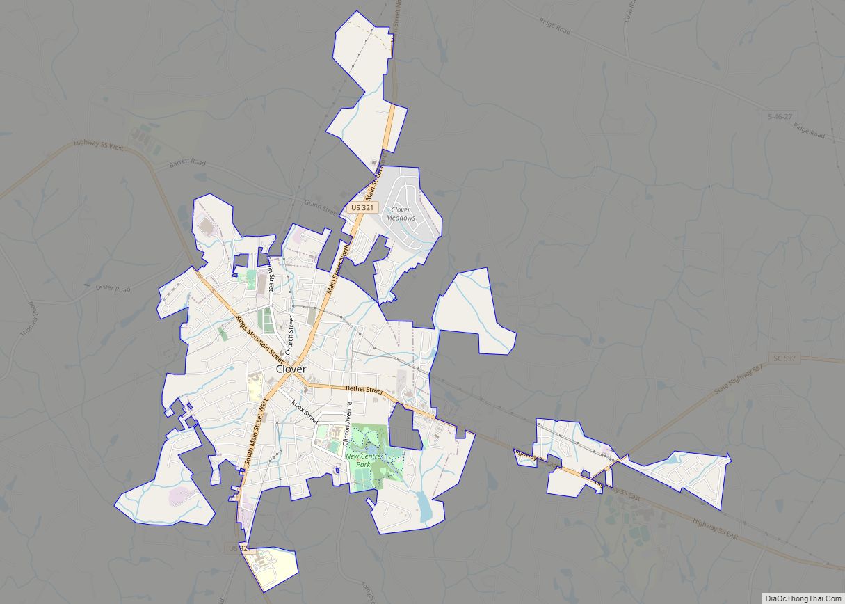
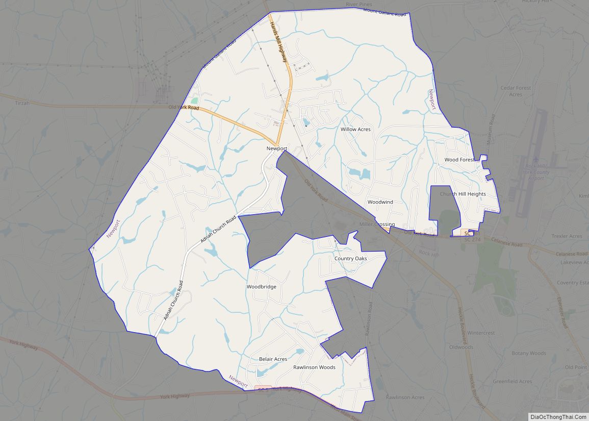
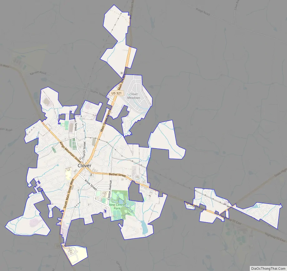
Clover Road Map
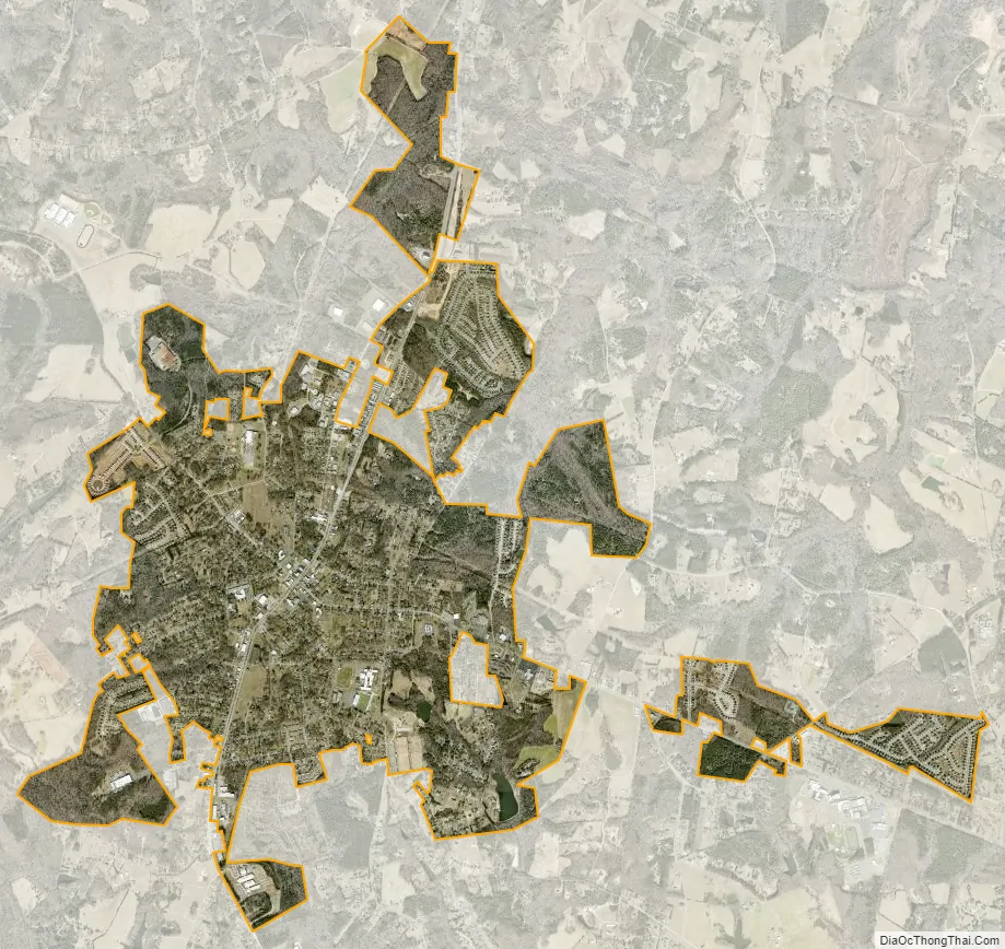
Clover city Satellite Map
Geography
Clover is located at 35°6′44″N 81°13′37″W / 35.11222°N 81.22694°W / 35.11222; -81.22694 (35.112194, -81.226848).
According to the United States Census Bureau, the town has a total area of 4.558 square miles (11.81 km), of which 4.547 square miles (11.78 km) is land and 0.011 square miles (0.028 km) is water.
U.S. Highway 321 comprises Clover’s Main Street, which runs roughly north and south, and the town square lies at its intersection with state highway 55.
Henry’s Knob, a mountain west of Clover, is the site of a former open-pit mining operation for what was formerly the world’s largest deposit of kyanite. The mountain stands at 1120 ft above sea level. According to United States Environmental Protection Agency (EPA) records, the mine is listed as a Superfund Alternative Site for acid mine drainage and groundwater contamination.
See also
Map of South Carolina State and its subdivision:- Abbeville
- Aiken
- Allendale
- Anderson
- Bamberg
- Barnwell
- Beaufort
- Berkeley
- Calhoun
- Charleston
- Cherokee
- Chester
- Chesterfield
- Clarendon
- Colleton
- Darlington
- Dillon
- Dorchester
- Edgefield
- Fairfield
- Florence
- Georgetown
- Greenville
- Greenwood
- Hampton
- Horry
- Jasper
- Kershaw
- Lancaster
- Laurens
- Lee
- Lexington
- Marion
- Marlboro
- McCormick
- Newberry
- Oconee
- Orangeburg
- Pickens
- Richland
- Saluda
- Spartanburg
- Sumter
- Union
- Williamsburg
- York
- Alabama
- Alaska
- Arizona
- Arkansas
- California
- Colorado
- Connecticut
- Delaware
- District of Columbia
- Florida
- Georgia
- Hawaii
- Idaho
- Illinois
- Indiana
- Iowa
- Kansas
- Kentucky
- Louisiana
- Maine
- Maryland
- Massachusetts
- Michigan
- Minnesota
- Mississippi
- Missouri
- Montana
- Nebraska
- Nevada
- New Hampshire
- New Jersey
- New Mexico
- New York
- North Carolina
- North Dakota
- Ohio
- Oklahoma
- Oregon
- Pennsylvania
- Rhode Island
- South Carolina
- South Dakota
- Tennessee
- Texas
- Utah
- Vermont
- Virginia
- Washington
- West Virginia
- Wisconsin
- Wyoming