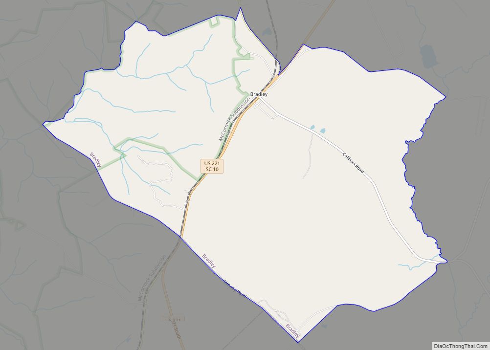
Cokesbury is a census-designated place (CDP) in Greenwood County, South Carolina, United States. The population was 215 at the 2010 census, down from 279 in 2000.
| Name: | Cokesbury CDP |
|---|---|
| LSAD Code: | 57 |
| LSAD Description: | CDP (suffix) |
| State: | South Carolina |
| County: | Greenwood County |
| Elevation: | 633 ft (193 m) |
| Total Area: | 0.59 sq mi (1.54 km²) |
| Land Area: | 0.59 sq mi (1.54 km²) |
| Water Area: | 0.00 sq mi (0.00 km²) |
| Total Population: | 212 |
| Population Density: | 356.90/sq mi (137.92/km²) |
| ZIP code: | 29653 |
| Area code: | 864 |
| FIPS code: | 4515625 |
| GNISfeature ID: | 1247334 |
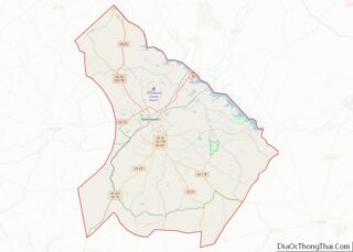
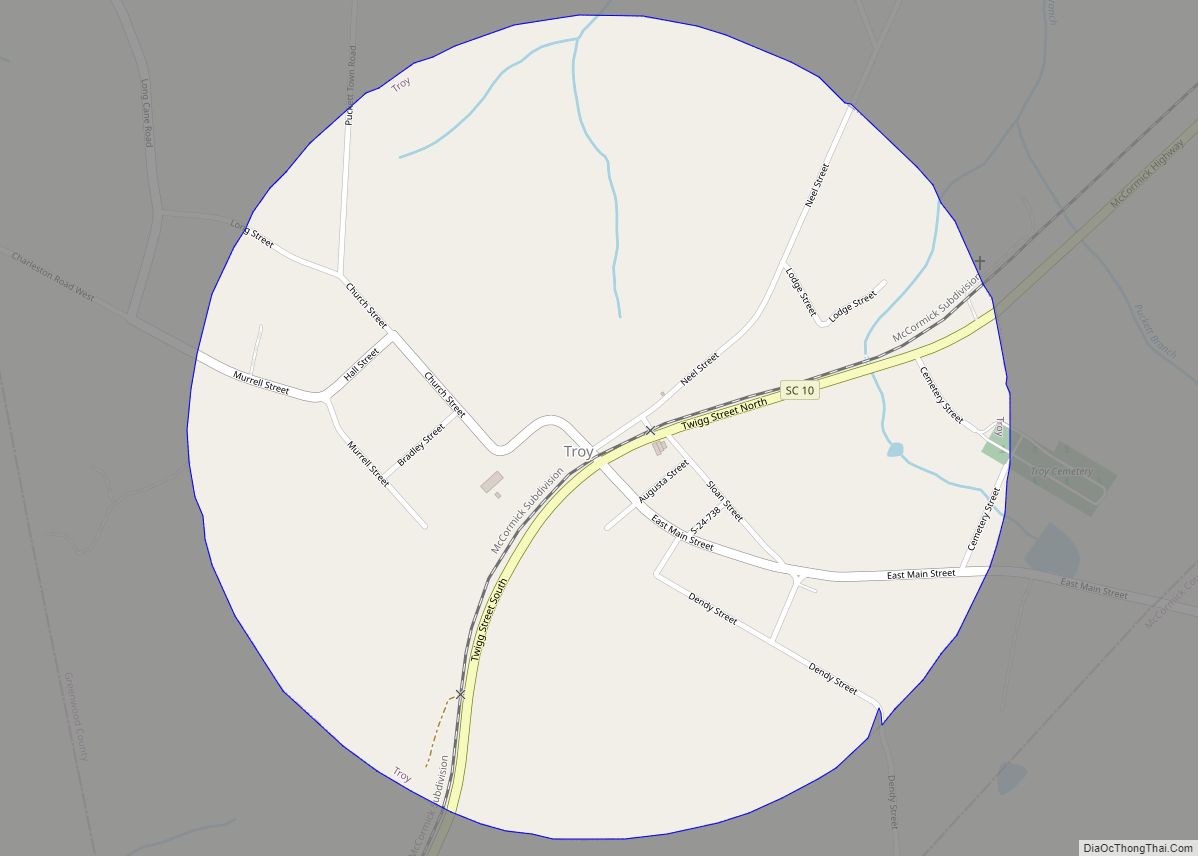
Online Interactive Map
Click on ![]() to view map in "full screen" mode.
to view map in "full screen" mode.
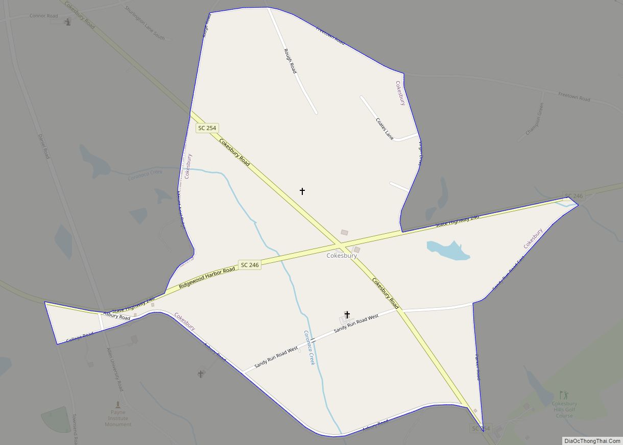
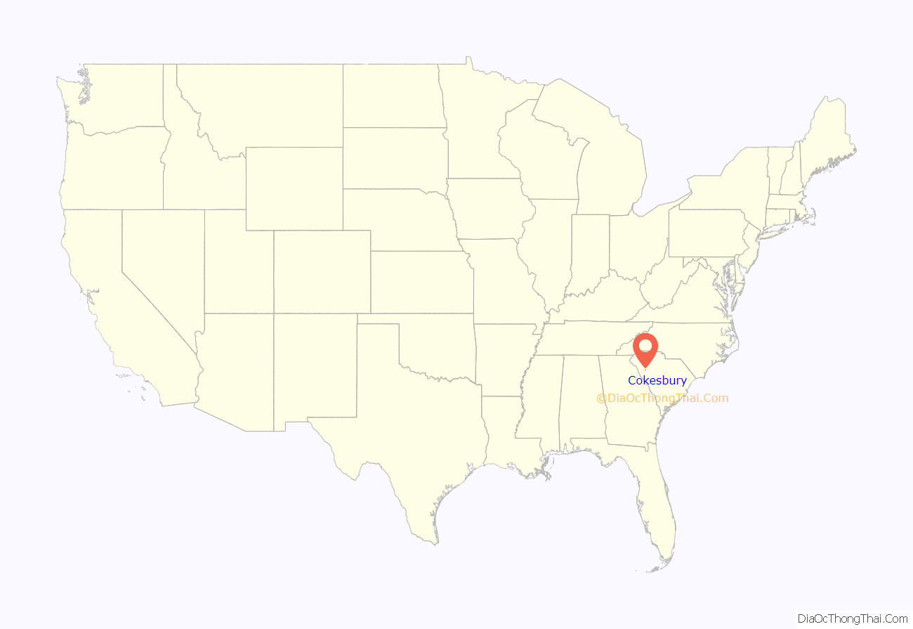
Cokesbury location map. Where is Cokesbury CDP?
History
The name “Cokesbury” is a combination of the names of two prominent bishops of the Methodist Episcopal Church, Thomas Coke and Francis Asbury.
The historic village of Cokesbury and the building that housed the Masonic Female College and Cokesbury Conference School are listed together on the National Register of Historic Places as an historic district.
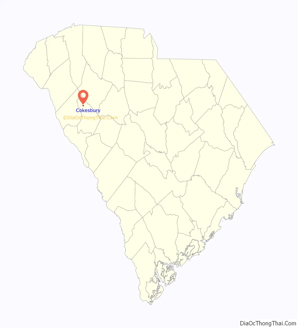
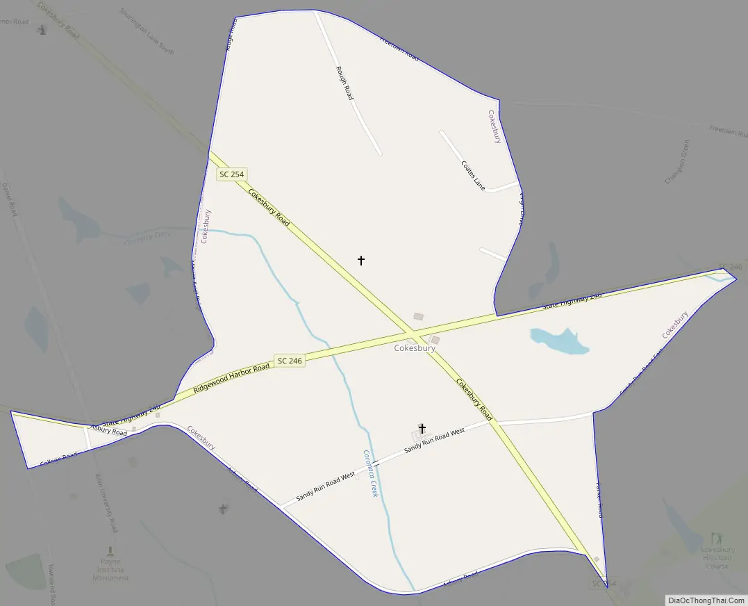
Cokesbury Road Map
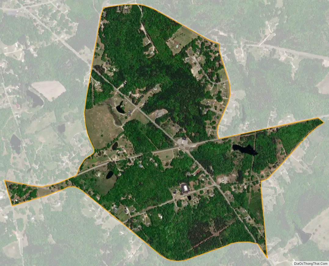
Cokesbury city Satellite Map
Geography
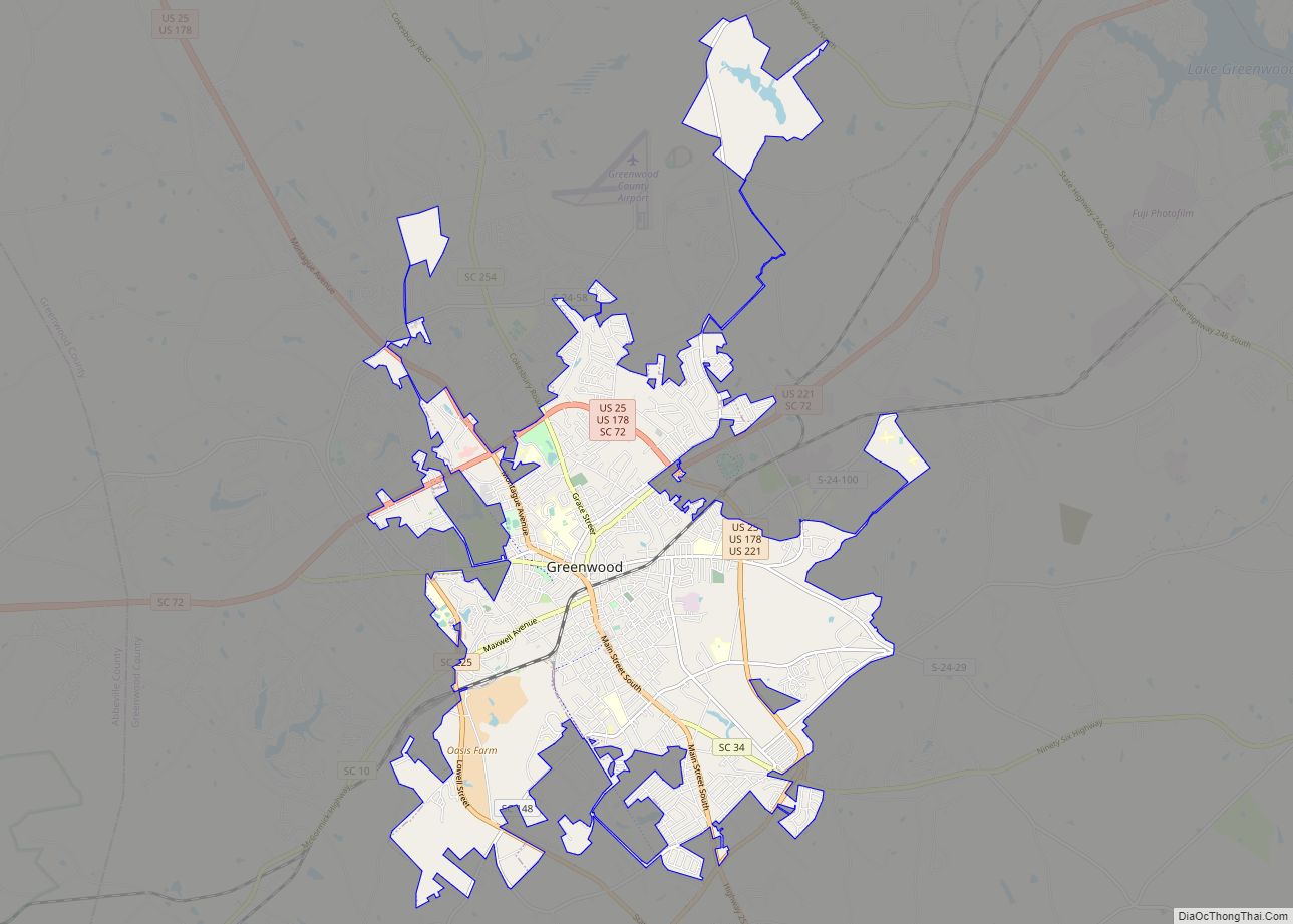
Cokesbury is located in northern Greenwood County at 34°17′17″N 82°12′28″W / 34.28806°N 82.20778°W / 34.28806; -82.20778 (34.287984, -82.207892). It is 7 miles (11 km) north of Greenwood, the county seat.
According to the United States Census Bureau, the Cokesbury CDP has a total area of 0.58 square miles (1.5 km), all land.
See also
Map of South Carolina State and its subdivision:- Abbeville
- Aiken
- Allendale
- Anderson
- Bamberg
- Barnwell
- Beaufort
- Berkeley
- Calhoun
- Charleston
- Cherokee
- Chester
- Chesterfield
- Clarendon
- Colleton
- Darlington
- Dillon
- Dorchester
- Edgefield
- Fairfield
- Florence
- Georgetown
- Greenville
- Greenwood
- Hampton
- Horry
- Jasper
- Kershaw
- Lancaster
- Laurens
- Lee
- Lexington
- Marion
- Marlboro
- McCormick
- Newberry
- Oconee
- Orangeburg
- Pickens
- Richland
- Saluda
- Spartanburg
- Sumter
- Union
- Williamsburg
- York
- Alabama
- Alaska
- Arizona
- Arkansas
- California
- Colorado
- Connecticut
- Delaware
- District of Columbia
- Florida
- Georgia
- Hawaii
- Idaho
- Illinois
- Indiana
- Iowa
- Kansas
- Kentucky
- Louisiana
- Maine
- Maryland
- Massachusetts
- Michigan
- Minnesota
- Mississippi
- Missouri
- Montana
- Nebraska
- Nevada
- New Hampshire
- New Jersey
- New Mexico
- New York
- North Carolina
- North Dakota
- Ohio
- Oklahoma
- Oregon
- Pennsylvania
- Rhode Island
- South Carolina
- South Dakota
- Tennessee
- Texas
- Utah
- Vermont
- Virginia
- Washington
- West Virginia
- Wisconsin
- Wyoming