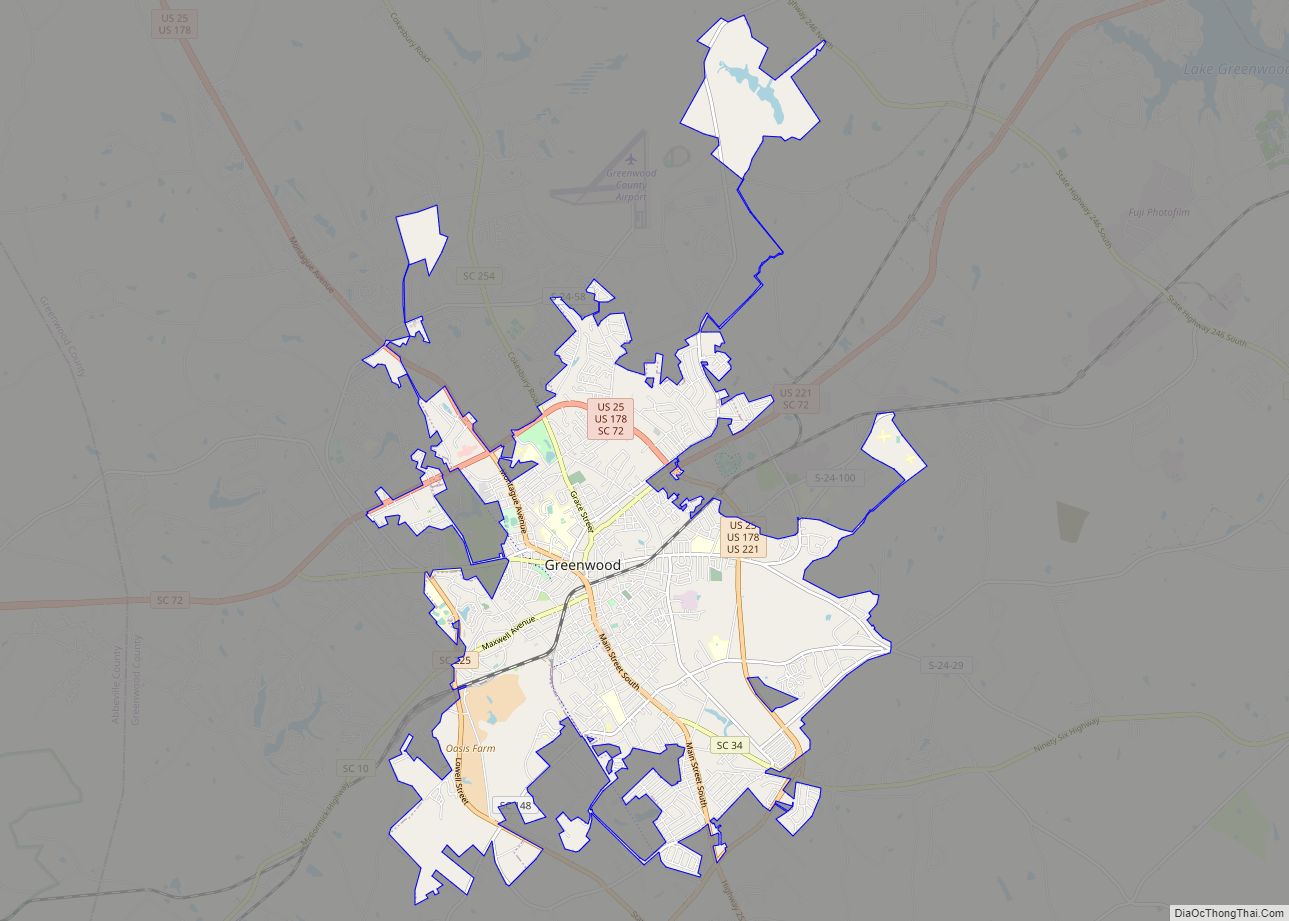
Greenwood is a city in and the county seat of Greenwood County, South Carolina, United States. The population in the 2020 United States Census was 22,545 down from 23,222 at the 2010 census. The city is home to Lander University.
| Name: | Greenwood city |
|---|---|
| LSAD Code: | 25 |
| LSAD Description: | city (suffix) |
| State: | South Carolina |
| County: | Greenwood County |
| Elevation: | 663 ft (202 m) |
| Total Area: | 16.74 sq mi (43.36 km²) |
| Land Area: | 16.62 sq mi (43.05 km²) |
| Water Area: | 0.12 sq mi (0.31 km²) |
| Total Population: | 22,545 |
| Population Density: | 1,356.33/sq mi (523.69/km²) |
| ZIP code: | 29646-29649 |
| Area code: | 864 |
| FIPS code: | 4530895 |
| GNISfeature ID: | 1245844 |
| Website: | www.cityofgreenwoodsc.com |
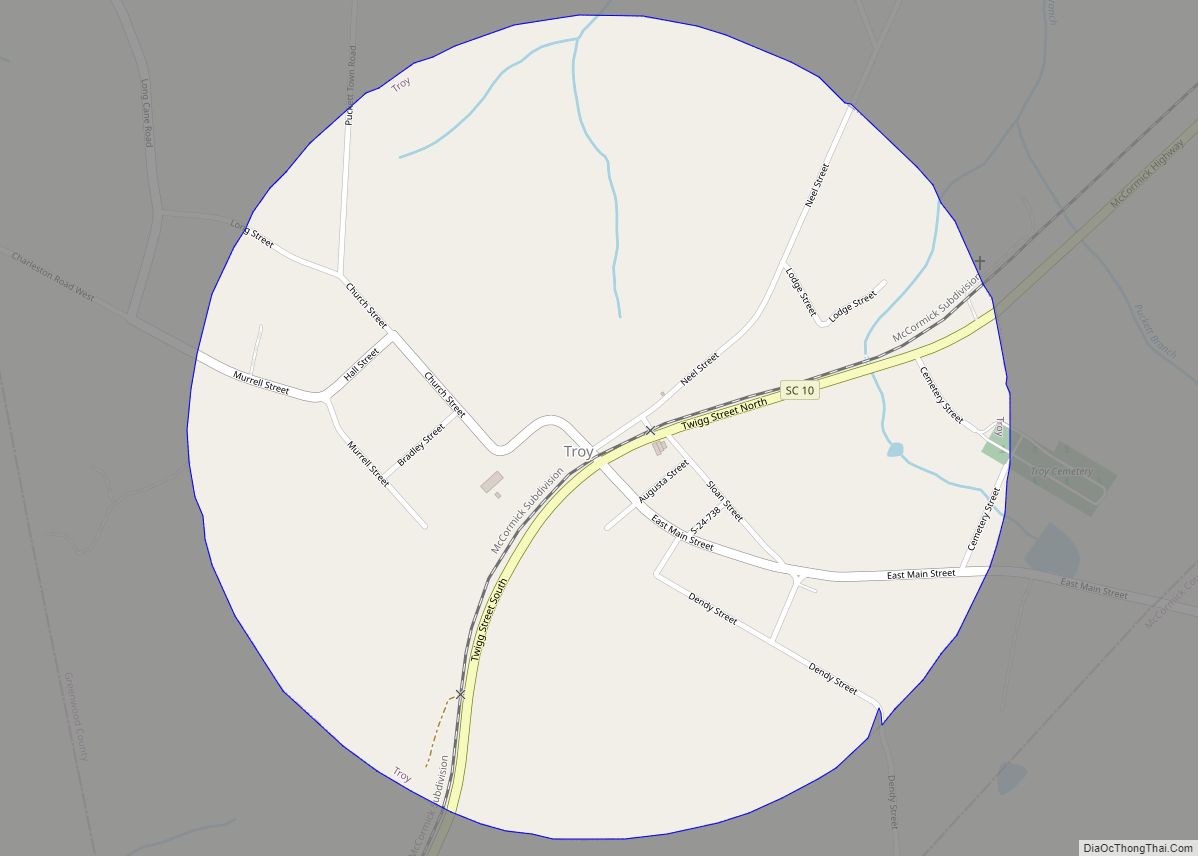
Online Interactive Map
Click on ![]() to view map in "full screen" mode.
to view map in "full screen" mode.
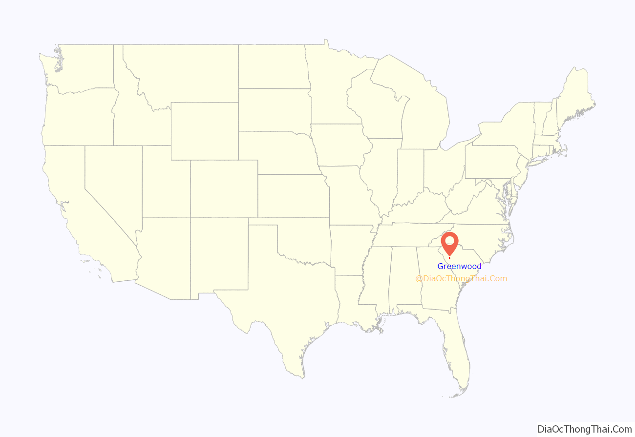
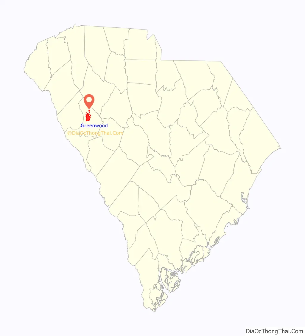
Greenwood location map. Where is Greenwood city?
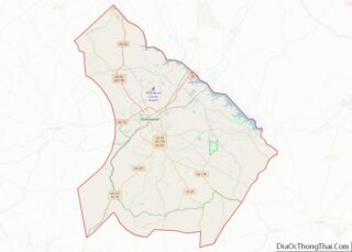
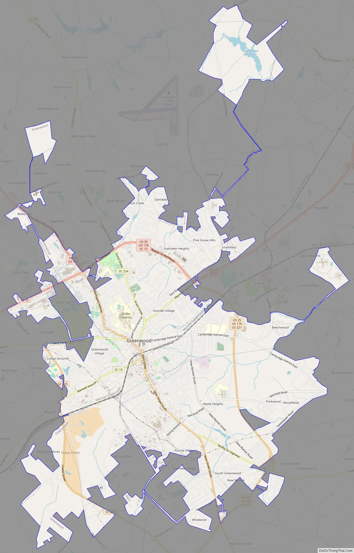
Greenwood Road Map
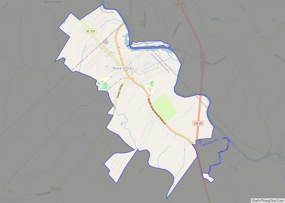
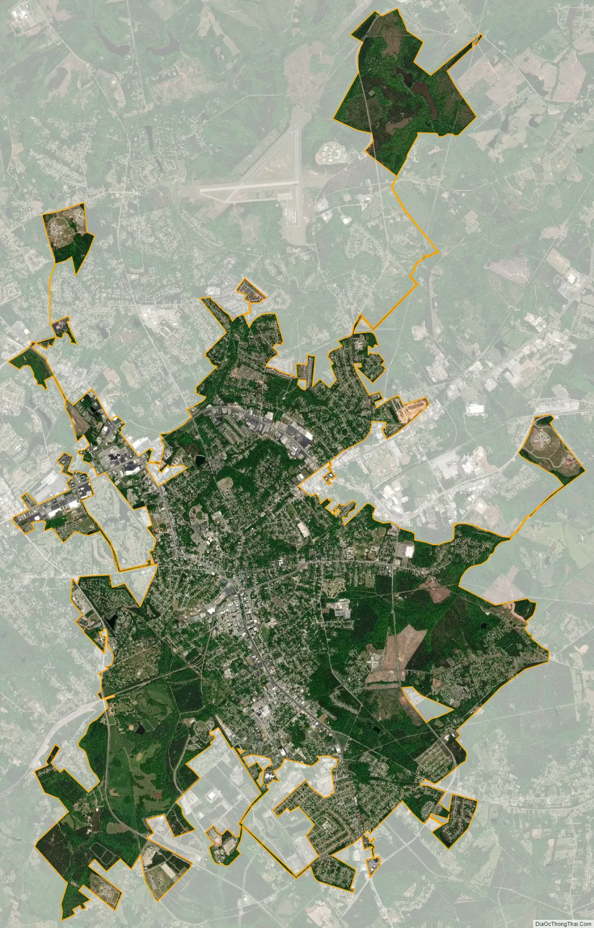
Greenwood city Satellite Map
Geography
Greenwood is located slightly northwest of the center of Greenwood County. According to the United States Census Bureau, the city has a total area of 16.3 square miles (42.3 km), of which 16.2 square miles (42.0 km) are land and 0.1 square miles (0.3 km), or 0.72%, are water.
U.S. Routes 25, 178 and 221 pass through the eastern side of the city, bypassing the downtown area. US 25 leads north 51 miles (82 km) to Greenville and south 63 miles (101 km) to Augusta, Georgia, US 178 leads northwest 42 miles (68 km) to Anderson and southeast 29 miles (47 km) to Saluda, and US 221 leads northeast 26 miles (42 km) to Laurens and southwest 23 miles (37 km) to McCormick.
Lake Greenwood, a reservoir on the Saluda River, is 8 miles (13 km) northeast of the city at its nearest point. The lake has 212 miles (341 km) of shoreline, covers 11,000 acres (4,500 ha), and is almost 20 miles (32 km) long. Lake Greenwood State Park, built in the 1930s by the Civilian Conservation Corps, is 14 miles (23 km) east of the city on the south shore of Lake Greenwood and includes two boat ramps, a campground, trail and playgrounds, and many picnic areas. The area around Greenwood is locally billed as the “Lakelands”, due to several lakes for recreational fishing and diverse terrain for hiking trails.
See also
Map of South Carolina State and its subdivision:- Abbeville
- Aiken
- Allendale
- Anderson
- Bamberg
- Barnwell
- Beaufort
- Berkeley
- Calhoun
- Charleston
- Cherokee
- Chester
- Chesterfield
- Clarendon
- Colleton
- Darlington
- Dillon
- Dorchester
- Edgefield
- Fairfield
- Florence
- Georgetown
- Greenville
- Greenwood
- Hampton
- Horry
- Jasper
- Kershaw
- Lancaster
- Laurens
- Lee
- Lexington
- Marion
- Marlboro
- McCormick
- Newberry
- Oconee
- Orangeburg
- Pickens
- Richland
- Saluda
- Spartanburg
- Sumter
- Union
- Williamsburg
- York
- Alabama
- Alaska
- Arizona
- Arkansas
- California
- Colorado
- Connecticut
- Delaware
- District of Columbia
- Florida
- Georgia
- Hawaii
- Idaho
- Illinois
- Indiana
- Iowa
- Kansas
- Kentucky
- Louisiana
- Maine
- Maryland
- Massachusetts
- Michigan
- Minnesota
- Mississippi
- Missouri
- Montana
- Nebraska
- Nevada
- New Hampshire
- New Jersey
- New Mexico
- New York
- North Carolina
- North Dakota
- Ohio
- Oklahoma
- Oregon
- Pennsylvania
- Rhode Island
- South Carolina
- South Dakota
- Tennessee
- Texas
- Utah
- Vermont
- Virginia
- Washington
- West Virginia
- Wisconsin
- Wyoming