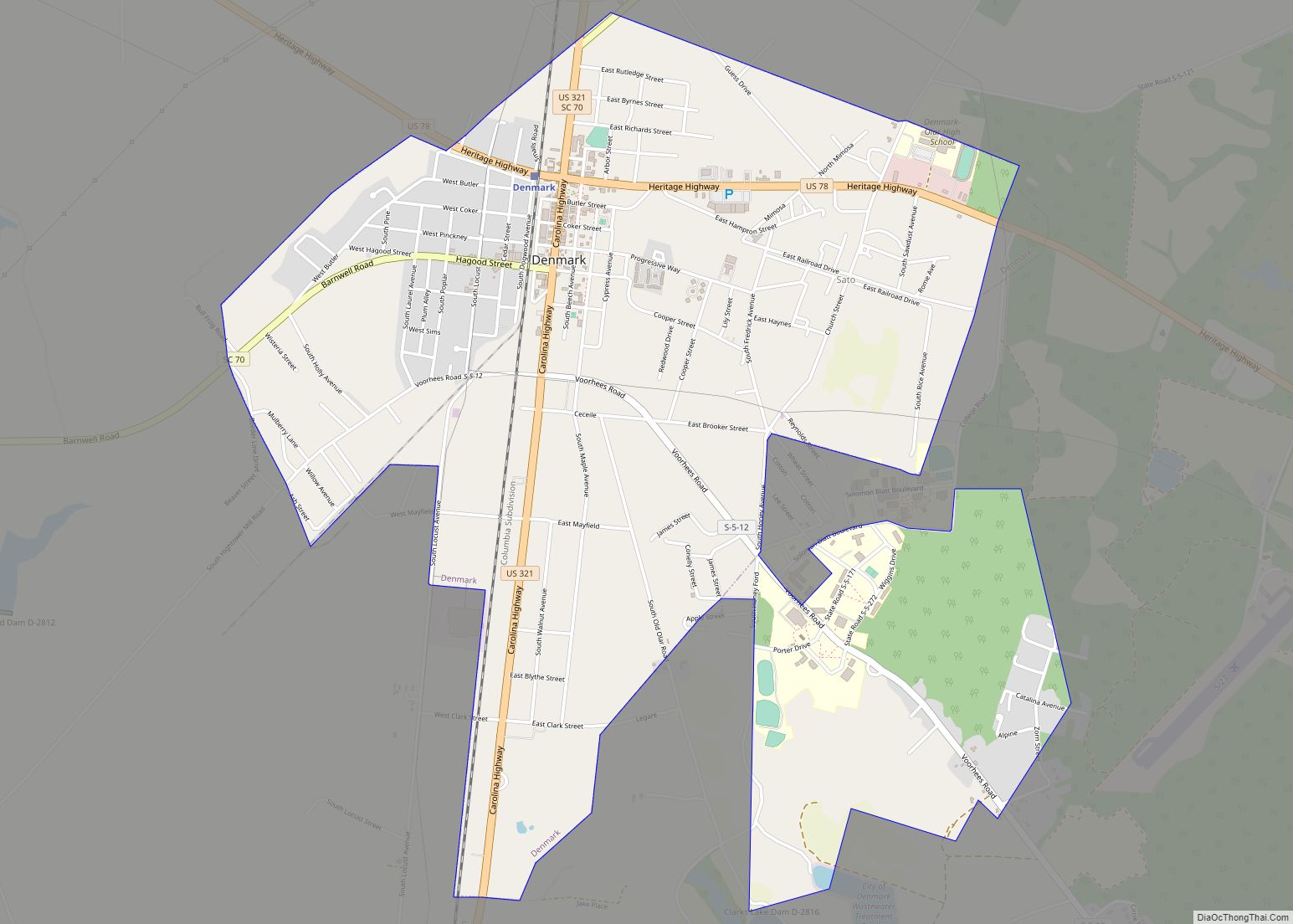
Denmark is a city in Bamberg County, South Carolina, United States. The population at the 2010 census is 3,538.
| Name: | Denmark city |
|---|---|
| LSAD Code: | 25 |
| LSAD Description: | city (suffix) |
| State: | South Carolina |
| County: | Bamberg County |
| Elevation: | 246 ft (75 m) |
| Total Area: | 3.91 sq mi (10.13 km²) |
| Land Area: | 3.91 sq mi (10.12 km²) |
| Water Area: | 0.00 sq mi (0.01 km²) |
| Total Population: | 3,186 |
| Population Density: | 815.67/sq mi (314.94/km²) |
| ZIP code: | 29042 |
| Area code: | 803, 839 |
| FIPS code: | 4519105 |
| GNISfeature ID: | 1247519 |
Online Interactive Map
Click on ![]() to view map in "full screen" mode.
to view map in "full screen" mode.
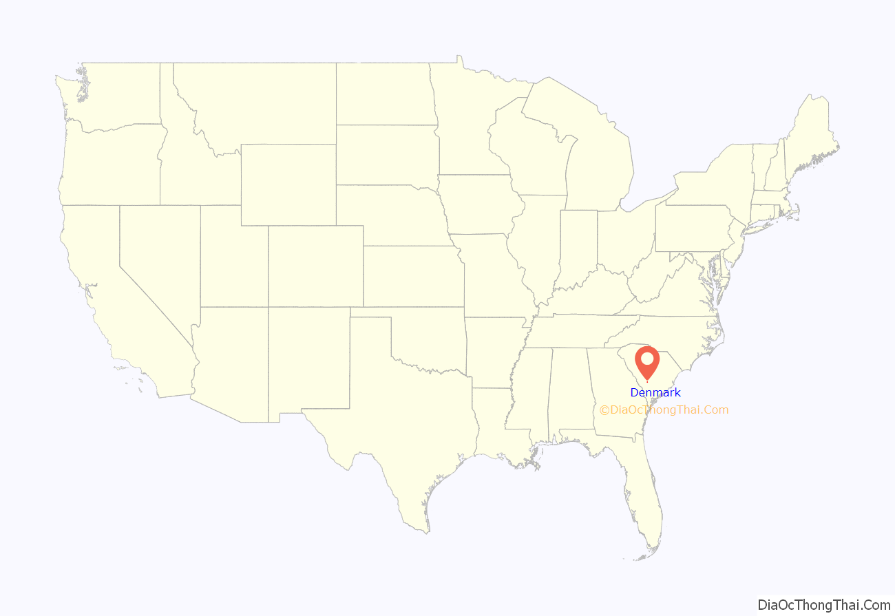
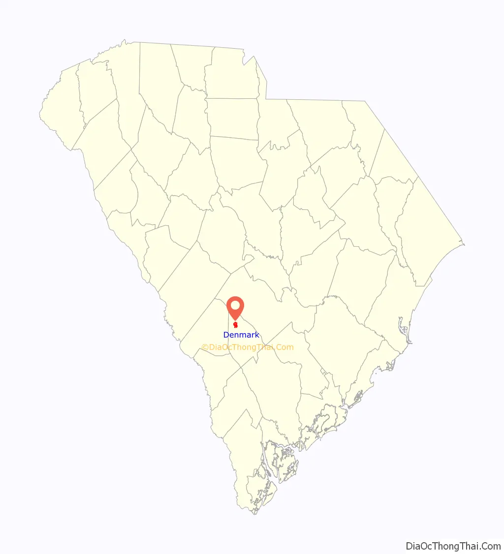
Denmark location map. Where is Denmark city?
History
Cleveland Sellers oral history interview conducted by John Dittmer in Denmark, South Carolina, 2013 March 21.
Cleveland Sellers shares memories of growing up in Denmark, South Carolina, especially the influence of Voorhees College in the community. He organized a Youth Chapter of the National Association for the Advancement of Colored People (NAACP) in Denmark, and he describes the group’s activities. He discusses his first impressions of Howard University, where he joined the Nonviolent Action Group (NAG). He shares memories of the March on Washington and the role of students in organizing it, his involvement in the Student Nonviolent Coordinating Committee (SNCC), and his role in the Mississippi Freedom Project. He also describes the goals of the Mississippi Freedom Democratic Party and the tensions that developed within SNCC in the late 1960s.
Denmark was originally called Grahams Turnout, as it was founded in the 1830s for a railroad extension and turnout. It was later renamed after B. A. Denmark, a railroad official.
In April 1893, Mamie Baxter, a fourteen-year-old girl in Denmark, alleged that an African American unknown to her had attempted to attack her. John Peterson, a suspect, appealed to South Carolina Governor Benjamin Tillman for protection, fearing he would be lynched if taken to Denmark, and saying he could prove his innocence. He was taken by the mob, put on “trial” and, after the mob found him guilty, was murdered by hanging.
Shown Peterson before the crowd killed him, Baxter reportedly testified:
Historic sites
The American Telephone and Telegraph Company Building, Denmark High School, and the Voorhees College Historic District, part of the campus of the historically black college, are listed on the National Register of Historic Places.
Denmark Road Map
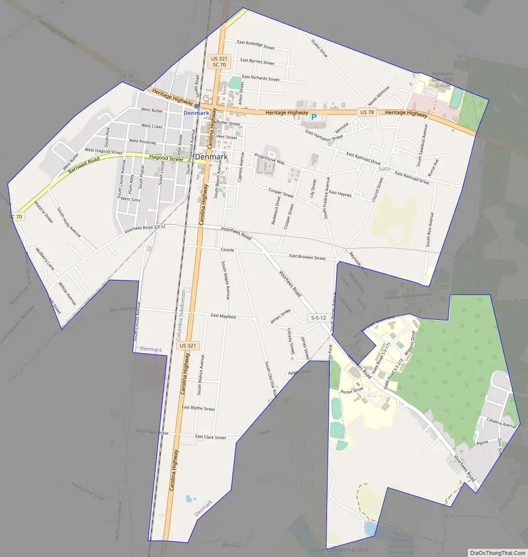
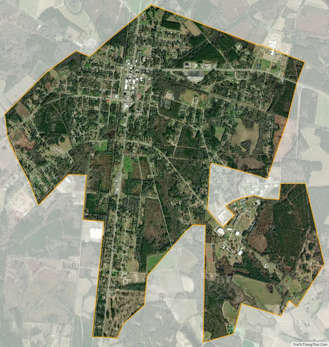
Denmark city Satellite Map
Geography
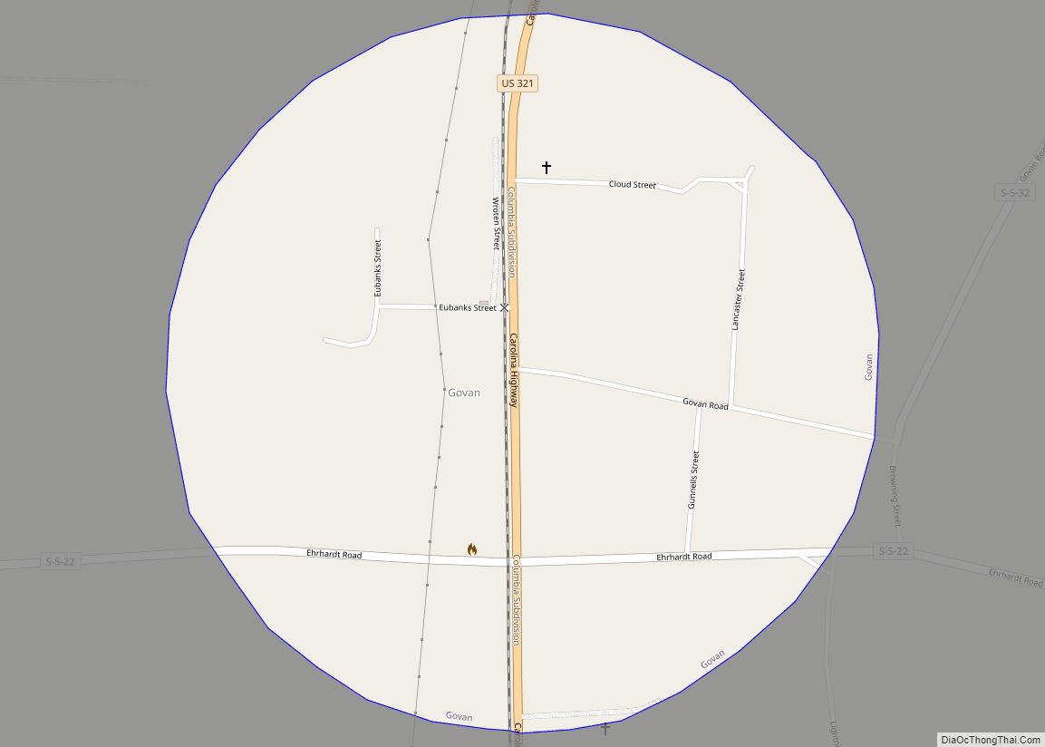
Denmark is located in northwest Bamberg County at 33°19′16″N 81°8′32″W / 33.32111°N 81.14222°W / 33.32111; -81.14222 (33.321173, -81.142289). U.S. Route 78 and U.S. Route 321 cross in Denmark just north of the downtown area. US 78 leads east 6 miles (10 km) to Bamberg, the county seat, and west 8 miles (13 km) to Blackville. US 321 leads north 9 miles (14 km) to Norway and south 7 miles (11 km) to Govan.
According to the United States Census Bureau, the city has a total area of 3.8 square miles (9.9 km), of which 0.004 square miles (0.01 km), or 0.09%, is water.
See also
Map of South Carolina State and its subdivision:- Abbeville
- Aiken
- Allendale
- Anderson
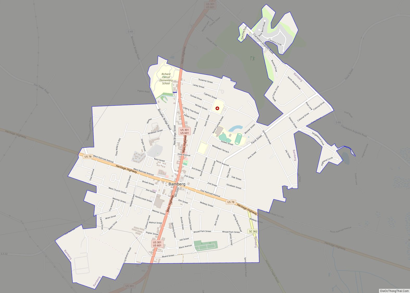
- Bamberg
- Barnwell
- Beaufort
- Berkeley
- Calhoun
- Charleston
- Cherokee
- Chester
- Chesterfield
- Clarendon
- Colleton
- Darlington
- Dillon
- Dorchester
- Edgefield
- Fairfield
- Florence
- Georgetown
- Greenville
- Greenwood
- Hampton
- Horry
- Jasper
- Kershaw
- Lancaster
- Laurens
- Lee
- Lexington
- Marion
- Marlboro
- McCormick
- Newberry
- Oconee
- Orangeburg
- Pickens
- Richland
- Saluda
- Spartanburg
- Sumter
- Union
- Williamsburg
- York
- Alabama
- Alaska
- Arizona
- Arkansas
- California
- Colorado
- Connecticut
- Delaware
- District of Columbia
- Florida
- Georgia
- Hawaii
- Idaho
- Illinois
- Indiana
- Iowa
- Kansas
- Kentucky
- Louisiana
- Maine
- Maryland
- Massachusetts
- Michigan
- Minnesota
- Mississippi
- Missouri
- Montana
- Nebraska
- Nevada
- New Hampshire
- New Jersey
- New Mexico
- New York
- North Carolina
- North Dakota
- Ohio
- Oklahoma
- Oregon
- Pennsylvania
- Rhode Island
- South Carolina
- South Dakota
- Tennessee
- Texas
- Utah
- Vermont
- Virginia
- Washington
- West Virginia
- Wisconsin
- Wyoming