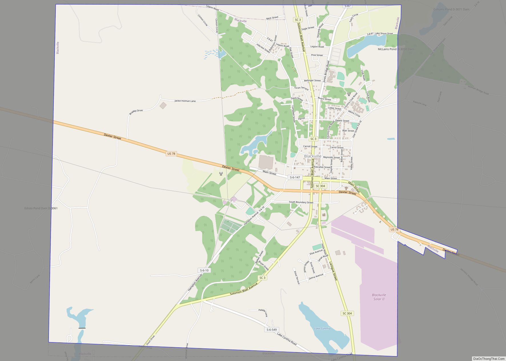
Blackville is a small town in Barnwell County, South Carolina, United States. The population was 2,406 at the 2010 census.
The town was named after Alexander Black, a railroad promoter.
| Name: | Blackville town |
|---|---|
| LSAD Code: | 43 |
| LSAD Description: | town (suffix) |
| State: | South Carolina |
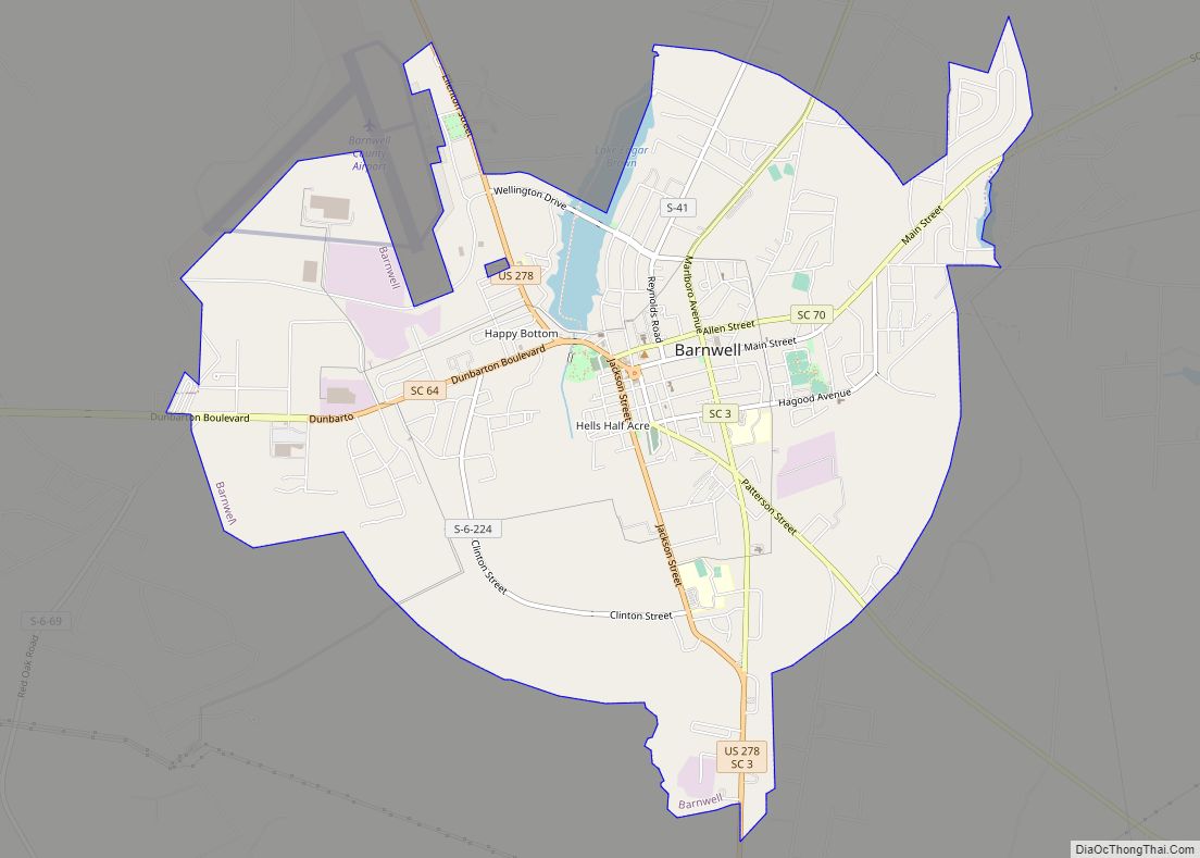
| County: | Barnwell County |
| Elevation: | 292 ft (89 m) |
| Total Area: | 9.03 sq mi (23.40 km²) |
| Land Area: | 8.93 sq mi (23.13 km²) |
| Water Area: | 0.10 sq mi (0.26 km²) |
| Total Population: | 1,923 |
| Population Density: | 215.29/sq mi (83.12/km²) |
| ZIP code: | 29817 |
| FIPS code: | 4506490 |
| GNISfeature ID: | 1246909 |
| Website: | www.townofblackville.com |
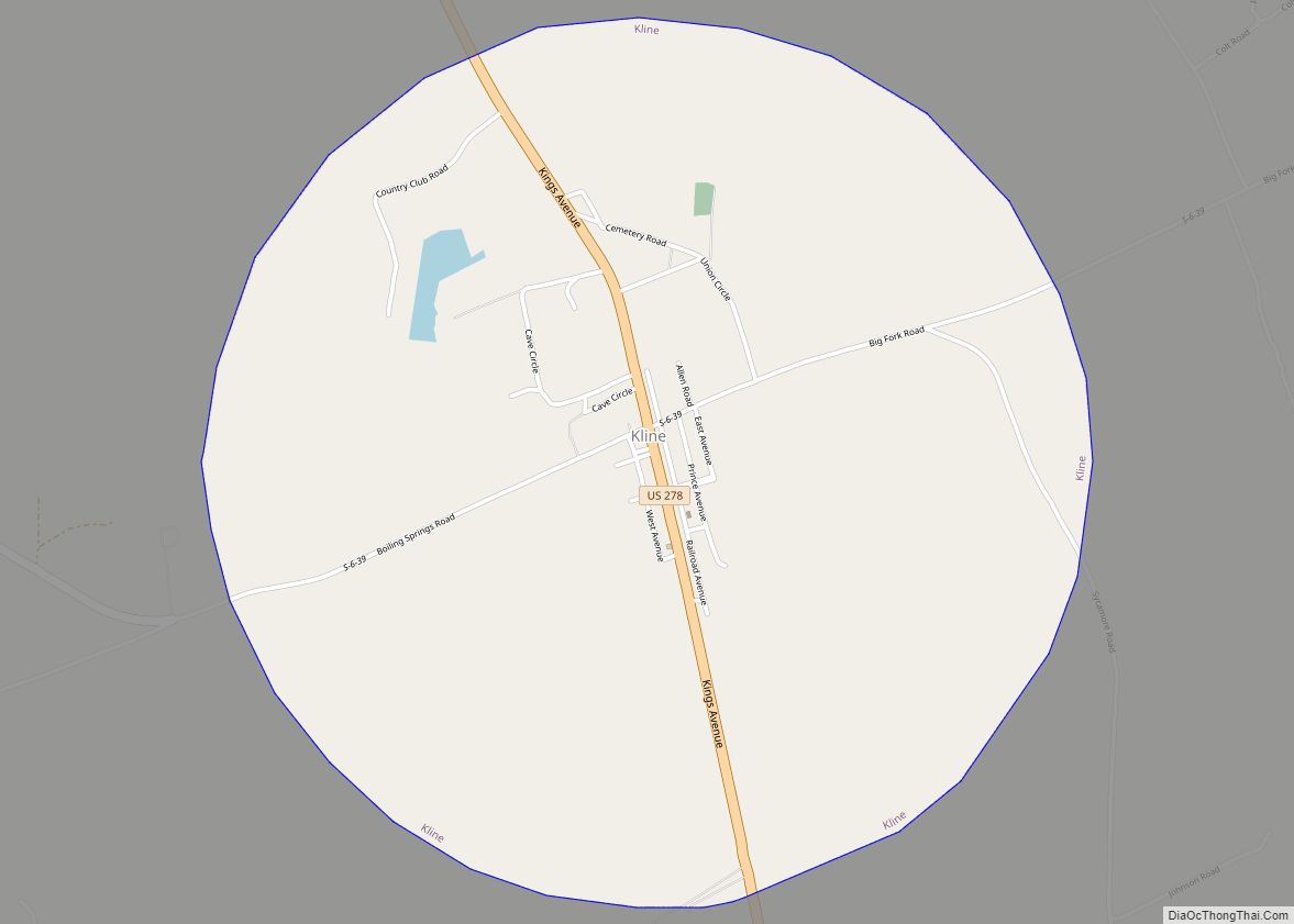
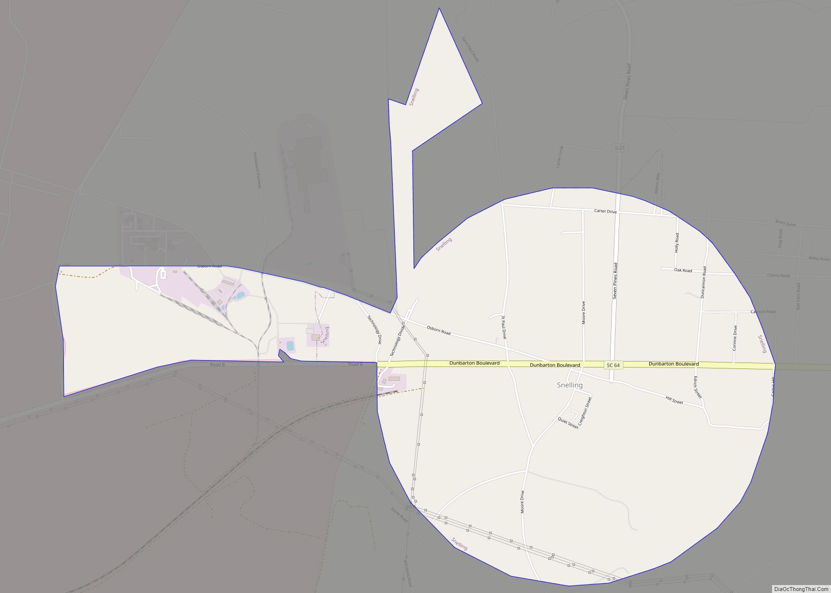
Online Interactive Map
Click on ![]() to view map in "full screen" mode.
to view map in "full screen" mode.
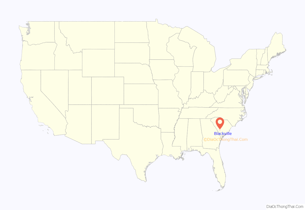
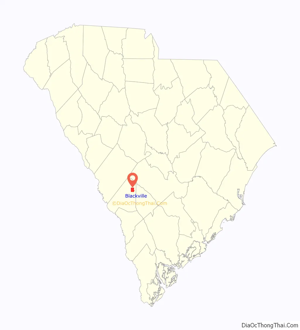
Blackville location map. Where is Blackville town?
History
On December 22, 1781, a band of British Loyalists fought with a group of local Patriots two miles north of Blackville. The location, called Windy Hill at that time, is slightly east of the present-day Healing Springs Park and Church. The commanding officer was Captain Benjamin Odom, Jr. who was a member of Colonel William Harden’s regiment. Sixteen Patriots were killed. Major “Bloody Bill” Cunningham was believed to be the commander of the Tory company. The area was known for many years as “Slaughter Hill”.
Longtime state representative Solomon Blatt, Sr. was born in Blackville.
Gospel Blues singer Marvin Sease was born in Blackville on February 16, 1946
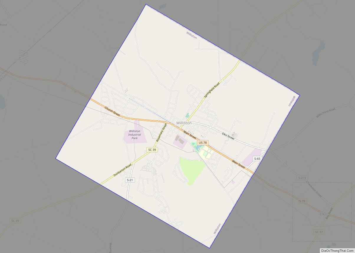
Blackville Road Map

Blackville city Satellite Map

Geography
Blackville is located in northeastern Barnwell County at 33°21′25″N 81°16′22″W / 33.35694°N 81.27278°W / 33.35694; -81.27278 (33.357078, -81.272649). U.S. Route 78 passes through the town, leading west 31 miles (50 km) to Aiken and east 15 miles (24 km) to Bamberg. South Carolina Highway 3 leads southwest 9 miles (14 km) to Barnwell, the county seat.
According to the United States Census Bureau, Blackville has a total area of 9.0 square miles (23.4 km), of which 8.9 square miles (23.1 km) is land and 0.12 square miles (0.3 km), or 1.13%, is water.
See also
Map of South Carolina State and its subdivision:- Abbeville
- Aiken
- Allendale
- Anderson
- Bamberg
- Barnwell
- Beaufort
- Berkeley
- Calhoun
- Charleston
- Cherokee
- Chester
- Chesterfield
- Clarendon
- Colleton
- Darlington
- Dillon
- Dorchester
- Edgefield
- Fairfield
- Florence
- Georgetown
- Greenville
- Greenwood
- Hampton
- Horry
- Jasper
- Kershaw
- Lancaster
- Laurens
- Lee
- Lexington
- Marion
- Marlboro
- McCormick
- Newberry
- Oconee
- Orangeburg
- Pickens
- Richland
- Saluda
- Spartanburg
- Sumter
- Union
- Williamsburg
- York
- Alabama
- Alaska
- Arizona
- Arkansas
- California
- Colorado
- Connecticut
- Delaware
- District of Columbia
- Florida
- Georgia
- Hawaii
- Idaho
- Illinois
- Indiana
- Iowa
- Kansas
- Kentucky
- Louisiana
- Maine
- Maryland
- Massachusetts
- Michigan
- Minnesota
- Mississippi
- Missouri
- Montana
- Nebraska
- Nevada
- New Hampshire
- New Jersey
- New Mexico
- New York
- North Carolina
- North Dakota
- Ohio
- Oklahoma
- Oregon
- Pennsylvania
- Rhode Island
- South Carolina
- South Dakota
- Tennessee
- Texas
- Utah
- Vermont
- Virginia
- Washington
- West Virginia
- Wisconsin
- Wyoming