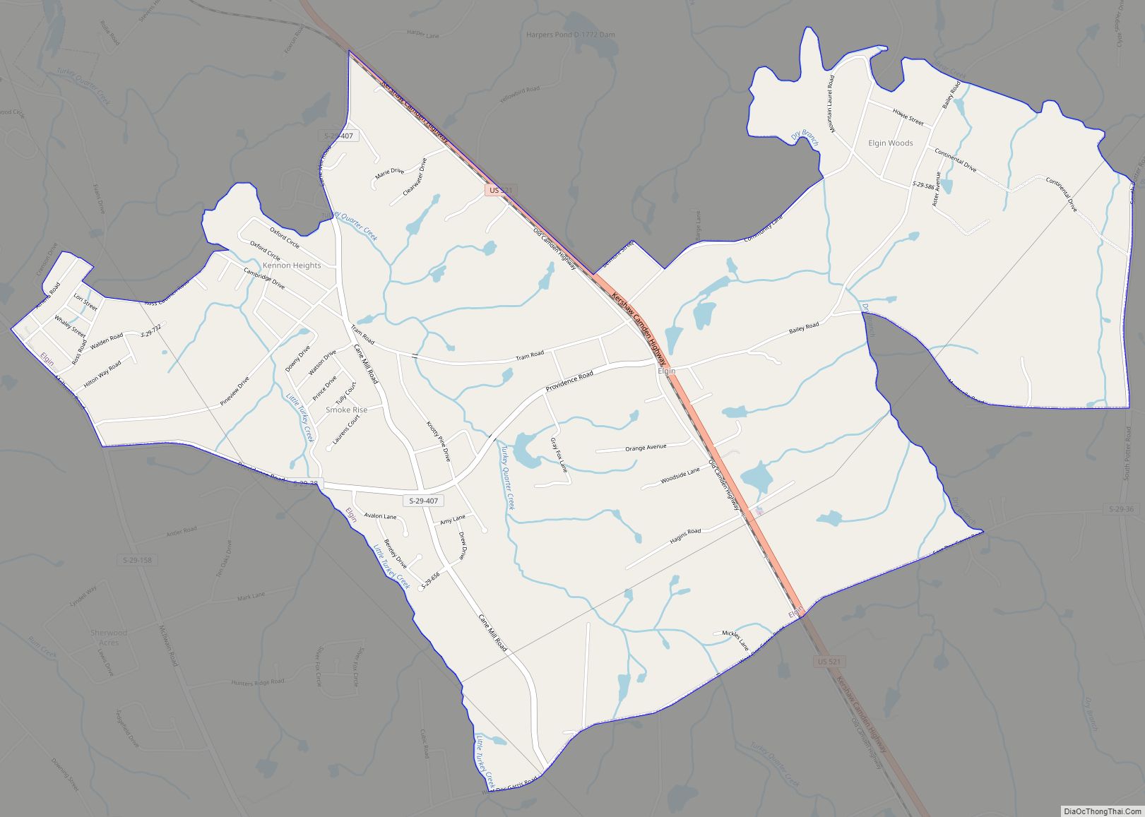
Elgin is an unincorporated community and census-designated place (CDP) in Lancaster County, South Carolina, United States. The population was 2,607 at the 2010 census.
| Name: | Elgin CDP |
|---|---|
| LSAD Code: | 57 |
| LSAD Description: | CDP (suffix) |
| State: | South Carolina |
| County: | Lancaster County |
| Elevation: | 600 ft (200 m) |
| Total Area: | 4.88 sq mi (12.63 km²) |
| Land Area: | 4.86 sq mi (12.58 km²) |
| Water Area: | 0.02 sq mi (0.04 km²) |
| Total Population: | 2,357 |
| Population Density: | 485.18/sq mi (187.32/km²) |
| ZIP code: | 29720 |
| FIPS code: | 4523290 |
| GNISfeature ID: | 1247651 |
Online Interactive Map
Click on ![]() to view map in "full screen" mode.
to view map in "full screen" mode.
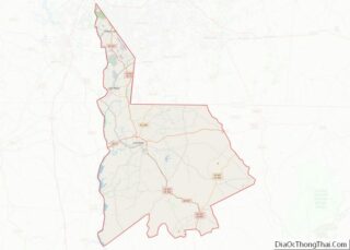
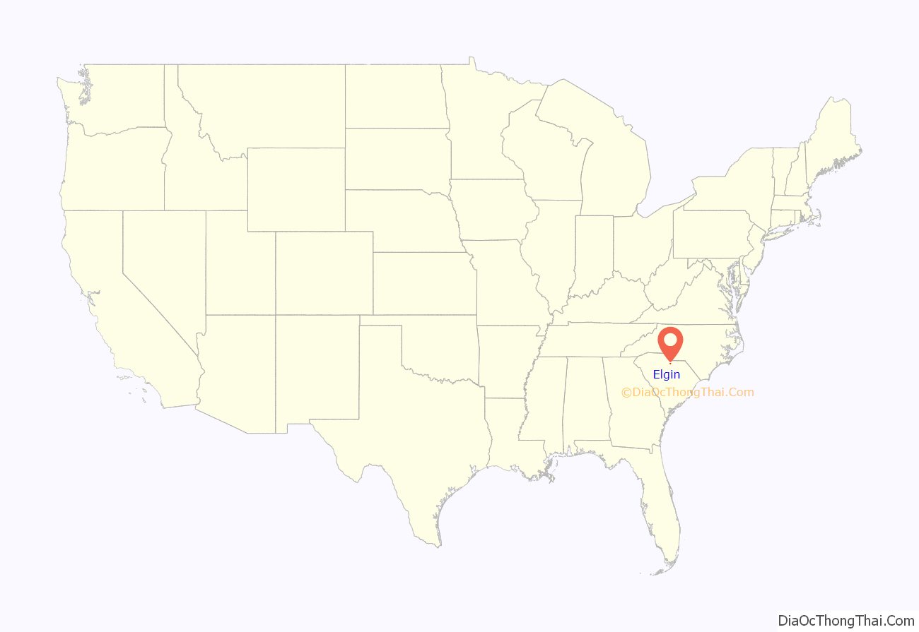
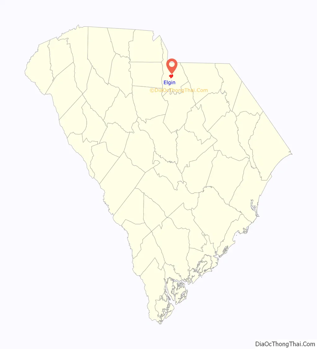
Elgin location map. Where is Elgin CDP?
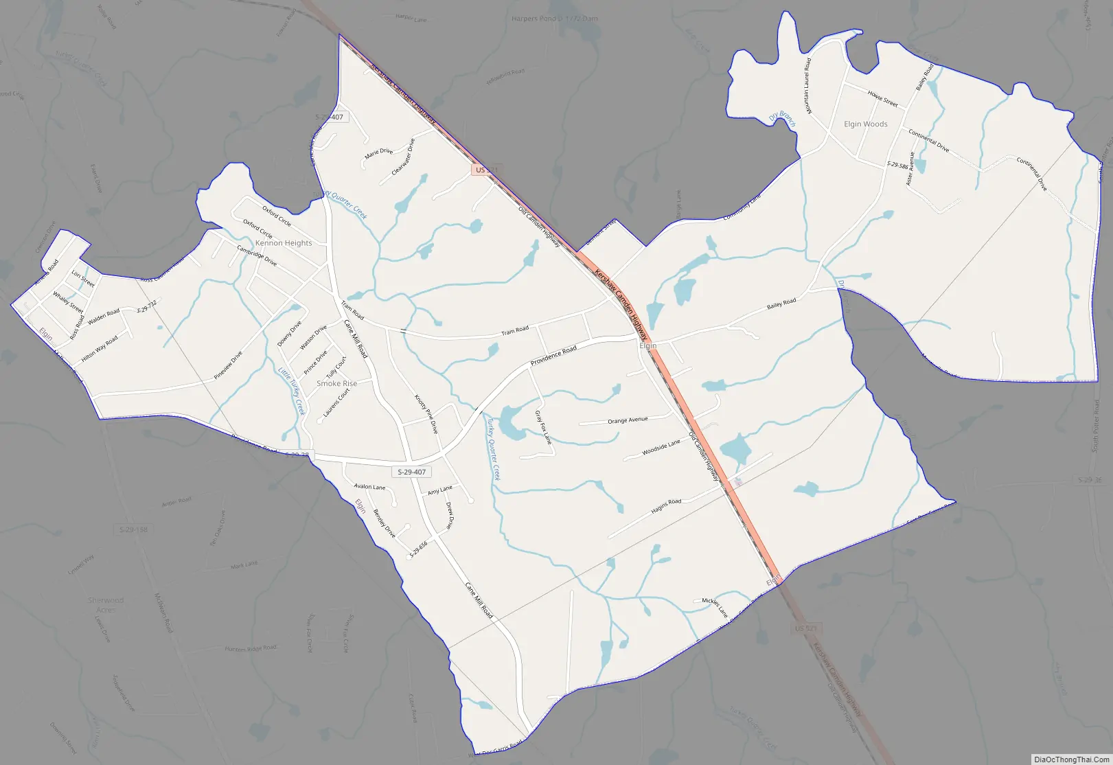
Elgin Road Map
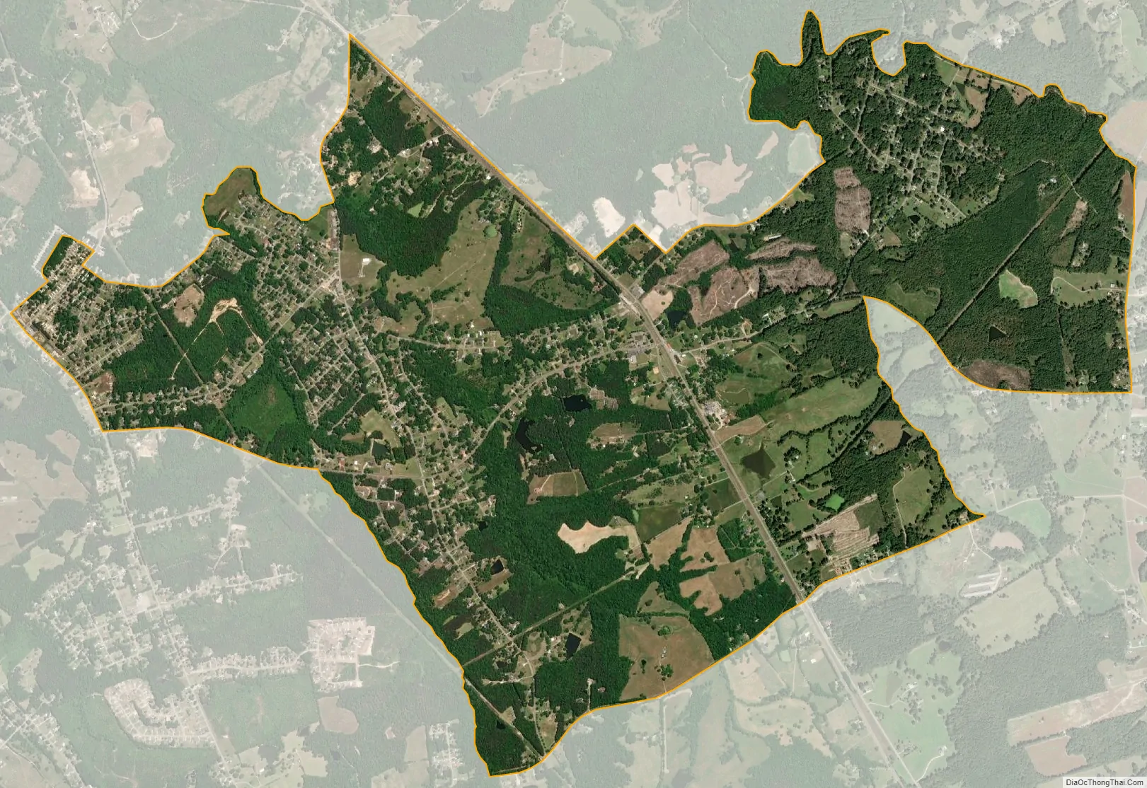
Elgin city Satellite Map
Geography
Elgin is located in central Lancaster County at 34°40′33″N 80°43′45″W / 34.67583°N 80.72917°W / 34.67583; -80.72917 (34.675799, -80.729080), along U.S. Route 521. It is 4 miles (6 km) southeast of Lancaster, the county seat, and 6 miles (10 km) northwest of Heath Springs.
According to the United States Census Bureau, the CDP has a total area of 4.9 square miles (12.6 km), of which 0.02 square miles (0.04 km), or 0.35%, are water. The community drains west to Turkey Quarter Creek and east to Dry Branch, both of which flow northwesterly to Bear Creek, a tributary of Cane Creek and then the Catawba River.
See also
Map of South Carolina State and its subdivision:- Abbeville
- Aiken
- Allendale
- Anderson
- Bamberg
- Barnwell
- Beaufort
- Berkeley
- Calhoun
- Charleston
- Cherokee
- Chester
- Chesterfield
- Clarendon
- Colleton
- Darlington
- Dillon
- Dorchester
- Edgefield
- Fairfield
- Florence
- Georgetown
- Greenville
- Greenwood
- Hampton
- Horry
- Jasper
- Kershaw
- Lancaster
- Laurens
- Lee
- Lexington
- Marion
- Marlboro
- McCormick
- Newberry
- Oconee
- Orangeburg
- Pickens
- Richland
- Saluda
- Spartanburg
- Sumter
- Union
- Williamsburg
- York
- Alabama
- Alaska
- Arizona
- Arkansas
- California
- Colorado
- Connecticut
- Delaware
- District of Columbia
- Florida
- Georgia
- Hawaii
- Idaho
- Illinois
- Indiana
- Iowa
- Kansas
- Kentucky
- Louisiana
- Maine
- Maryland
- Massachusetts
- Michigan
- Minnesota
- Mississippi
- Missouri
- Montana
- Nebraska
- Nevada
- New Hampshire
- New Jersey
- New Mexico
- New York
- North Carolina
- North Dakota
- Ohio
- Oklahoma
- Oregon
- Pennsylvania
- Rhode Island
- South Carolina
- South Dakota
- Tennessee
- Texas
- Utah
- Vermont
- Virginia
- Washington
- West Virginia
- Wisconsin
- Wyoming