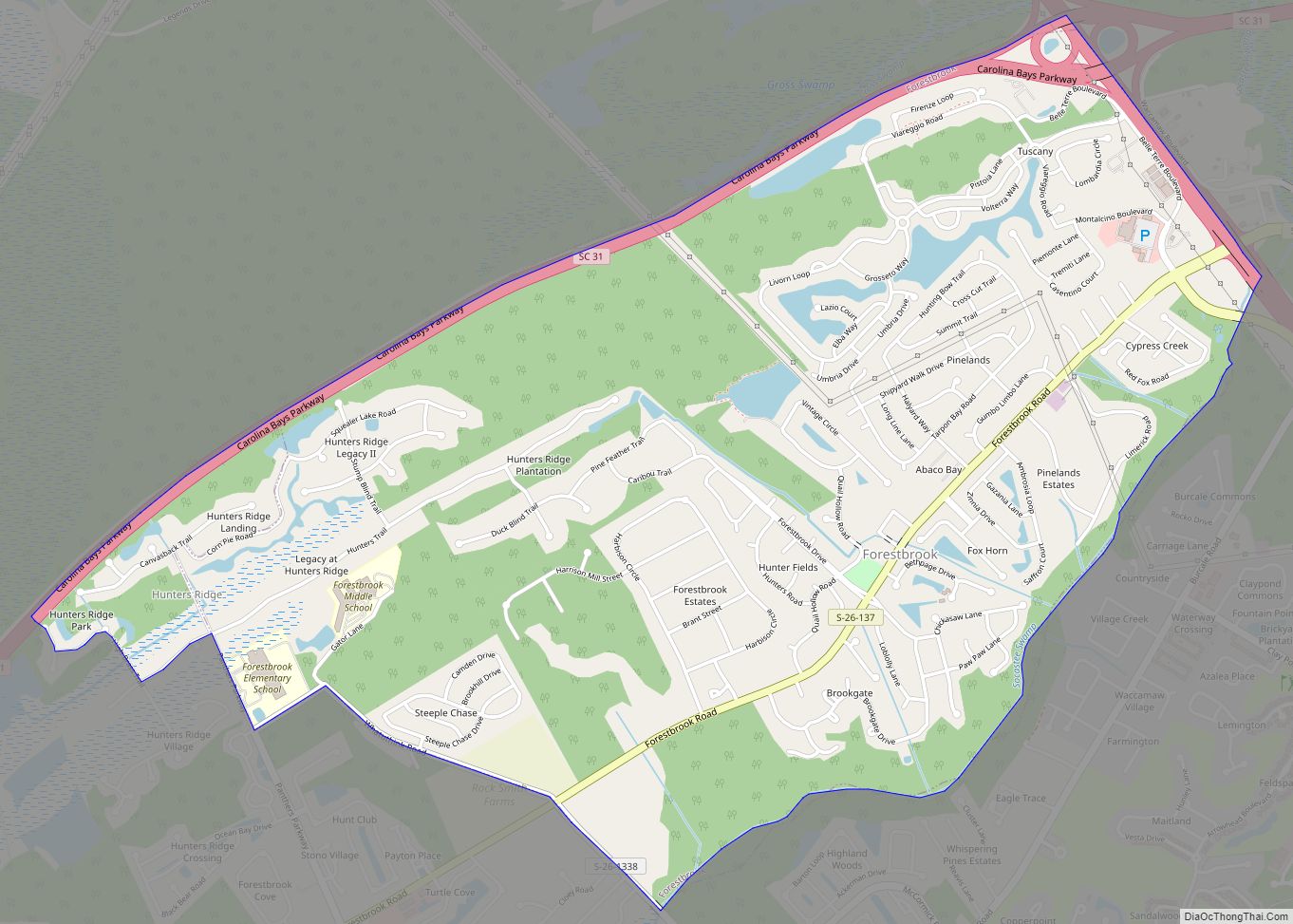
Forestbrook is a census-designated place (CDP) in Horry County, South Carolina, United States. The population was 4,612 at the 2010 census, up from 3,391 at the 2000 census.
| Name: | Forestbrook CDP |
|---|---|
| LSAD Code: | 57 |
| LSAD Description: | CDP (suffix) |
| State: | South Carolina |
| County: | Horry County |
| Elevation: | 16 ft (5 m) |
| Total Area: | 3.67 sq mi (9.51 km²) |
| Land Area: | 3.67 sq mi (9.51 km²) |
| Water Area: | 0.00 sq mi (0.00 km²) |
| Total Population: | 6,656 |
| Population Density: | 1,813.62/sq mi (700.23/km²) |
| ZIP code: | 29579 |
| FIPS code: | 4526372 |
| GNISfeature ID: | 1243725 |
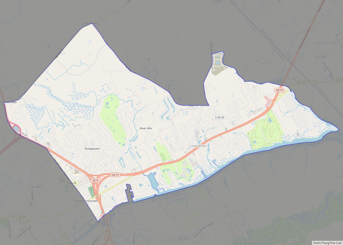
Online Interactive Map
Click on ![]() to view map in "full screen" mode.
to view map in "full screen" mode.
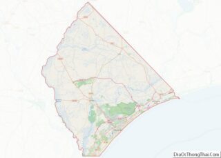
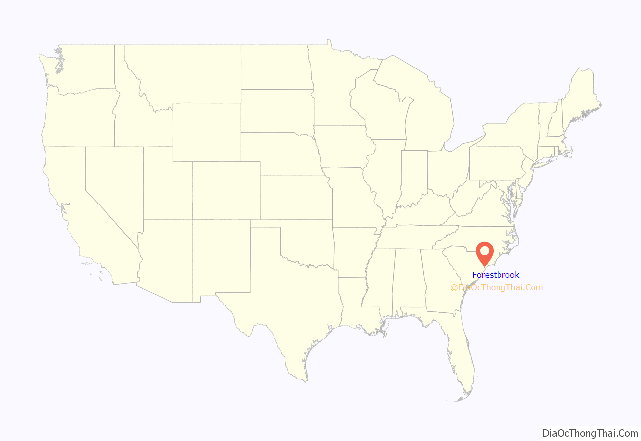
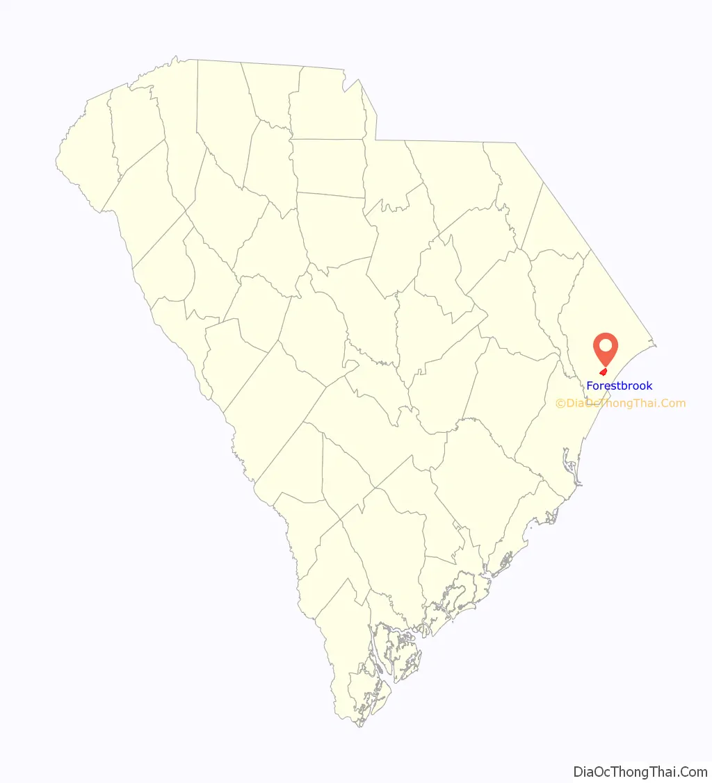
Forestbrook location map. Where is Forestbrook CDP?
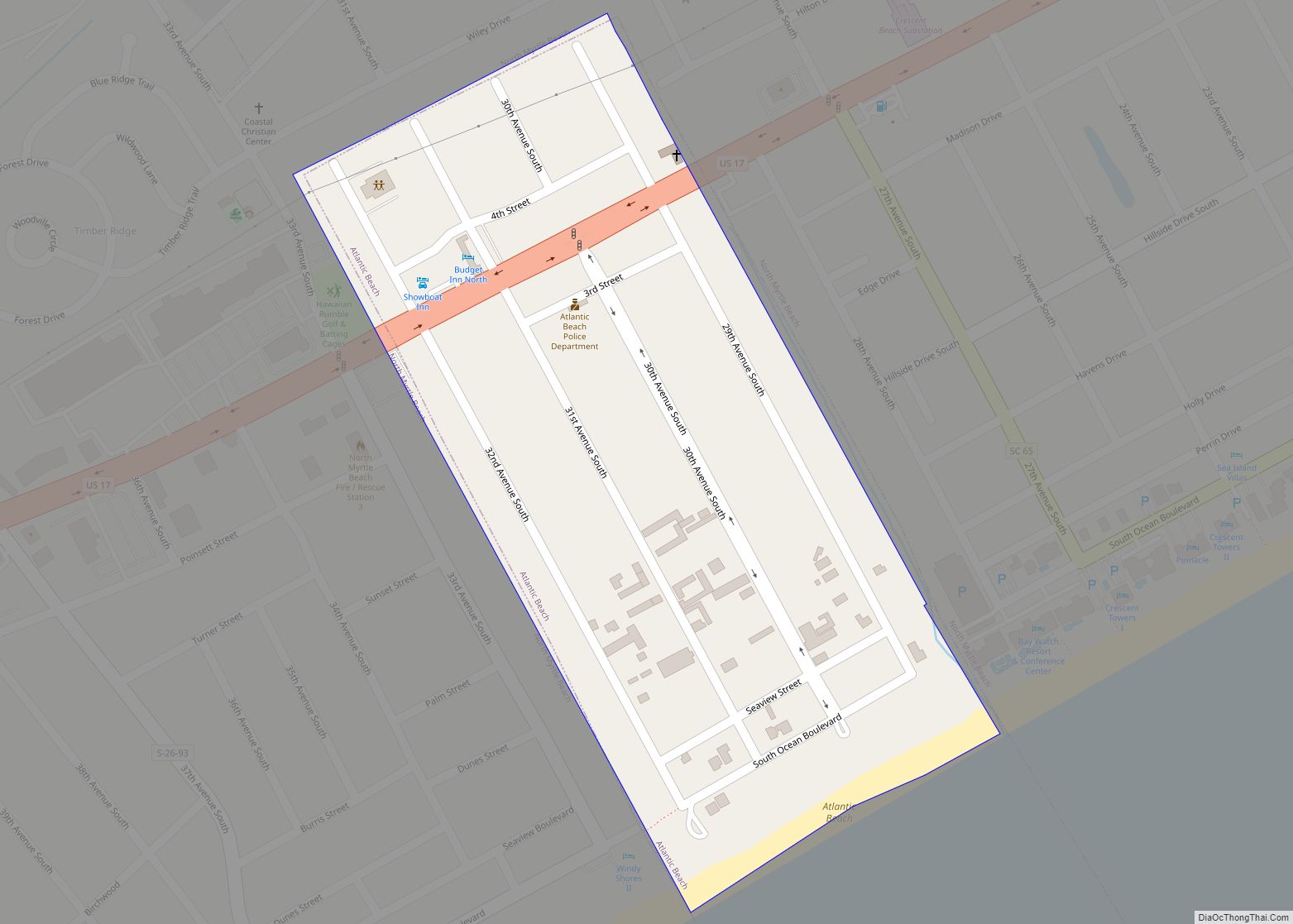
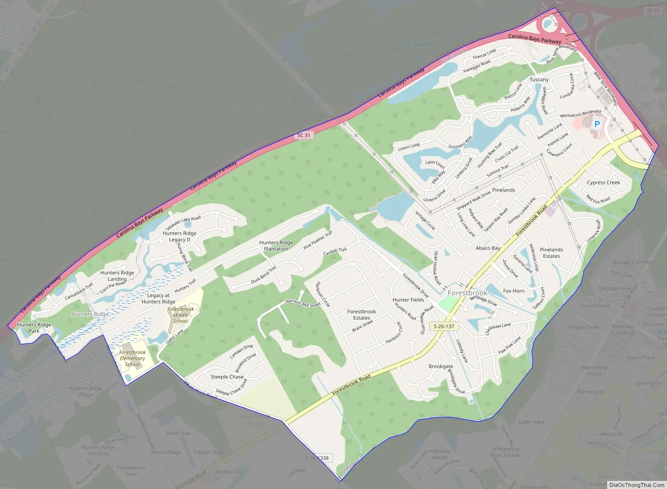
Forestbrook Road Map
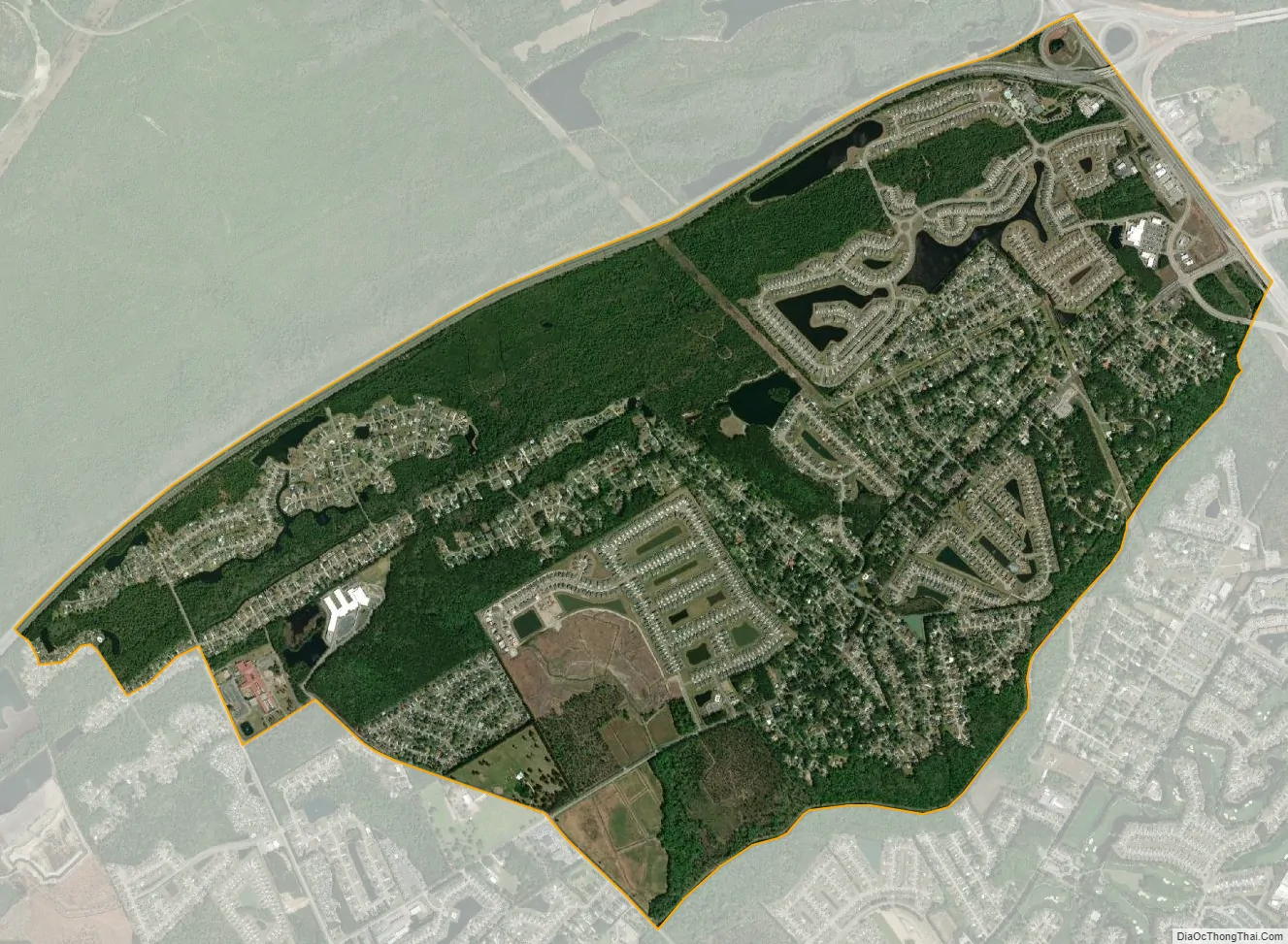
Forestbrook city Satellite Map
Geography
Forestbrook is located in southern Horry County at 33°43′15″N 78°57′54″W / 33.72083°N 78.96500°W / 33.72083; -78.96500 (33.720943, -78.964919). It is 5 miles (8 km) northwest of Myrtle Beach and 10 miles (16 km) southeast of Conway, the Horry county seat. U.S. Route 501 forms the northeast border of the community, and the northwest border follows South Carolina Highway 31, the Carolina Bays Parkway. The southeast border of the CDP is Socastee Swamp.
According to the United States Census Bureau, the CDP has a total area of 3.7 square miles (9.7 km), all land.
See also
Map of South Carolina State and its subdivision:- Abbeville
- Aiken
- Allendale
- Anderson
- Bamberg
- Barnwell
- Beaufort
- Berkeley
- Calhoun
- Charleston
- Cherokee
- Chester
- Chesterfield
- Clarendon
- Colleton
- Darlington
- Dillon
- Dorchester
- Edgefield
- Fairfield
- Florence
- Georgetown
- Greenville
- Greenwood
- Hampton
- Horry
- Jasper
- Kershaw
- Lancaster
- Laurens
- Lee
- Lexington
- Marion
- Marlboro
- McCormick
- Newberry
- Oconee
- Orangeburg
- Pickens
- Richland
- Saluda
- Spartanburg
- Sumter
- Union
- Williamsburg
- York
- Alabama
- Alaska
- Arizona
- Arkansas
- California
- Colorado
- Connecticut
- Delaware
- District of Columbia
- Florida
- Georgia
- Hawaii
- Idaho
- Illinois
- Indiana
- Iowa
- Kansas
- Kentucky
- Louisiana
- Maine
- Maryland
- Massachusetts
- Michigan
- Minnesota
- Mississippi
- Missouri
- Montana
- Nebraska
- Nevada
- New Hampshire
- New Jersey
- New Mexico
- New York
- North Carolina
- North Dakota
- Ohio
- Oklahoma
- Oregon
- Pennsylvania
- Rhode Island
- South Carolina
- South Dakota
- Tennessee
- Texas
- Utah
- Vermont
- Virginia
- Washington
- West Virginia
- Wisconsin
- Wyoming