Heath Springs is a town in Lancaster County, South Carolina, United States. The population was 742 at the 2020 census.
| Name: | Heath Springs town |
|---|---|
| LSAD Code: | 43 |
| LSAD Description: | town (suffix) |
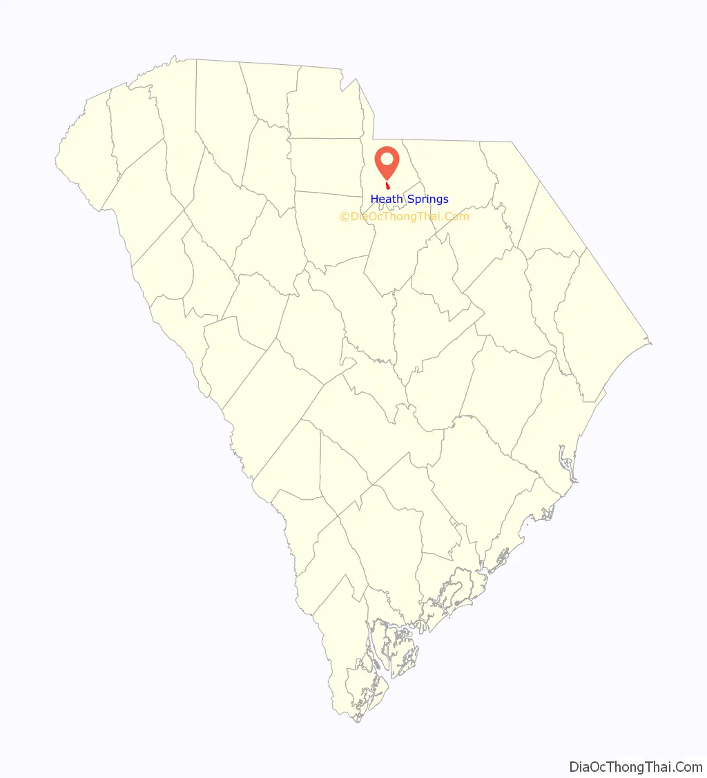
| State: | South Carolina |
| County: | Lancaster County |
| Elevation: | 686 ft (209 m) |
| Total Area: | 1.63 sq mi (4.21 km²) |
| Land Area: | 1.63 sq mi (4.21 km²) |
| Water Area: | 0.00 sq mi (0.00 km²) |
| Total Population: | 742 |
| Population Density: | 456.62/sq mi (176.29/km²) |
| ZIP code: | 29058 |
| Area code: | 803, 839 |
| FIPS code: | 4532965 |
| GNISfeature ID: | 1245936 |
| Website: | townofheathsprings.com |
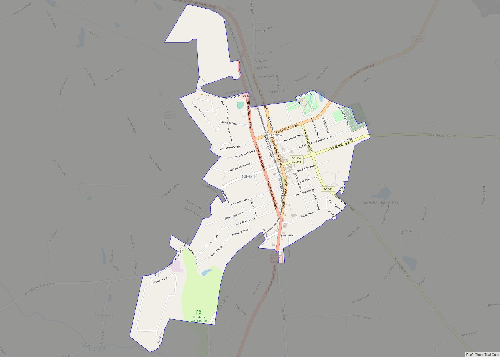
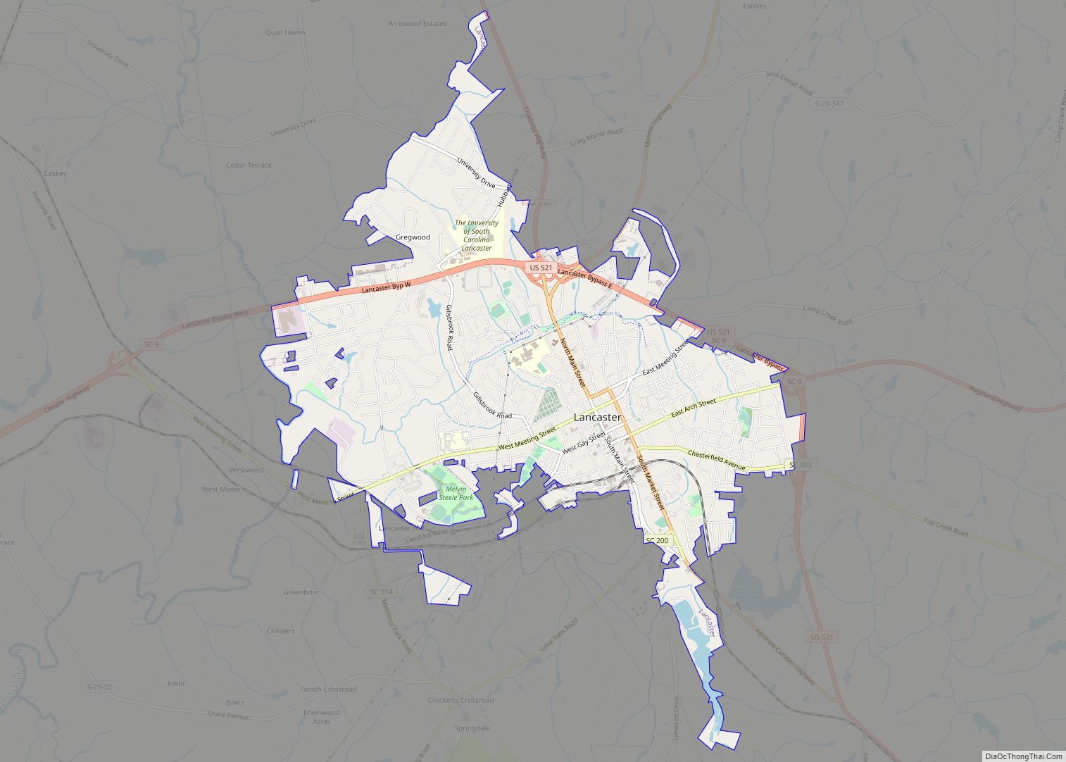
Online Interactive Map
Click on ![]() to view map in "full screen" mode.
to view map in "full screen" mode.
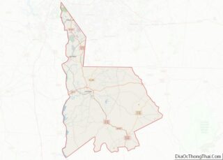
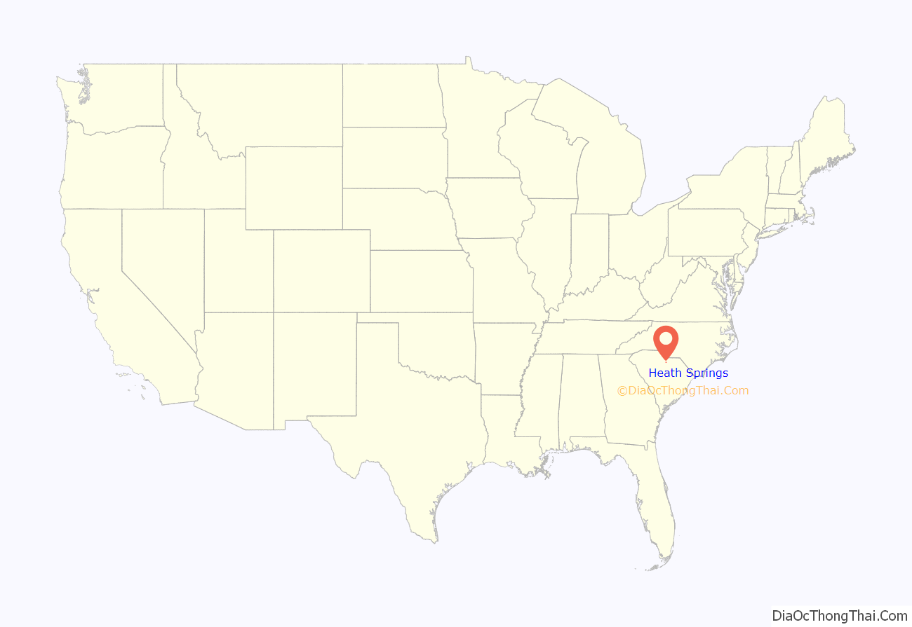
Heath Springs location map. Where is Heath Springs town?
History
Heath Springs was incorporated in 1890. It was named for the firm Heath & Springs.
The Battle of Hanging Rock Historic Site and Heath Springs Depot are listed on the National Register of Historic Places.
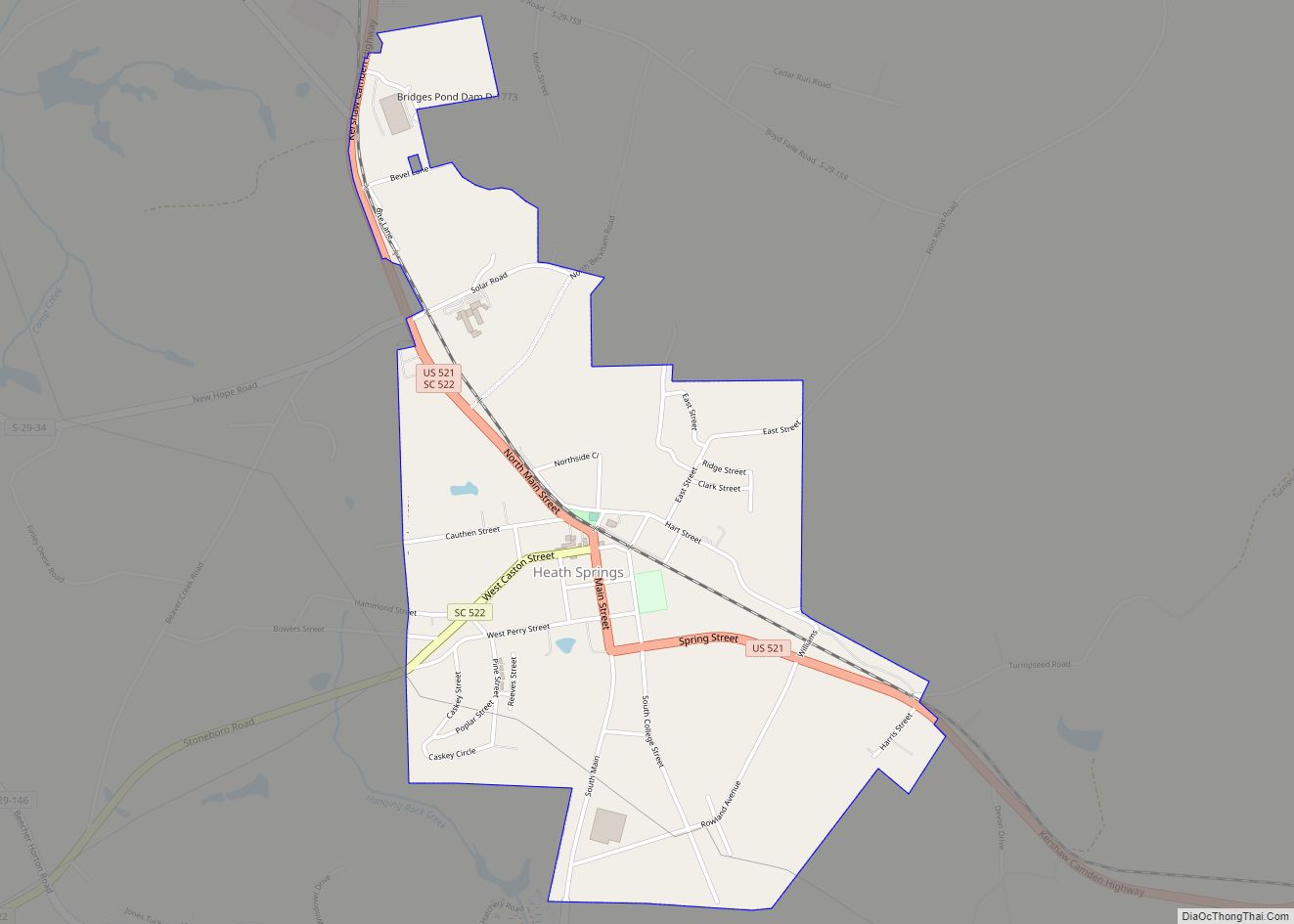
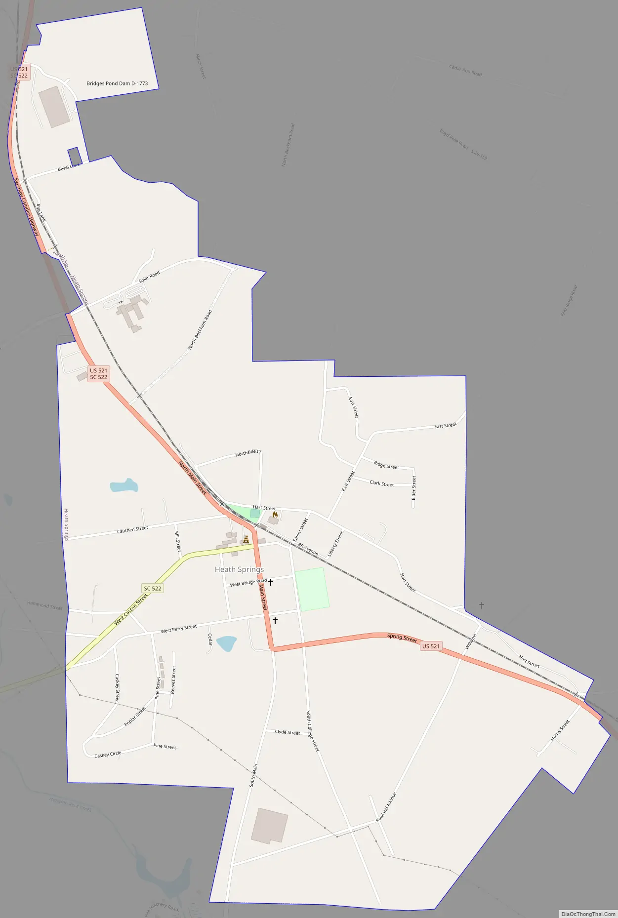
Heath Springs Road Map
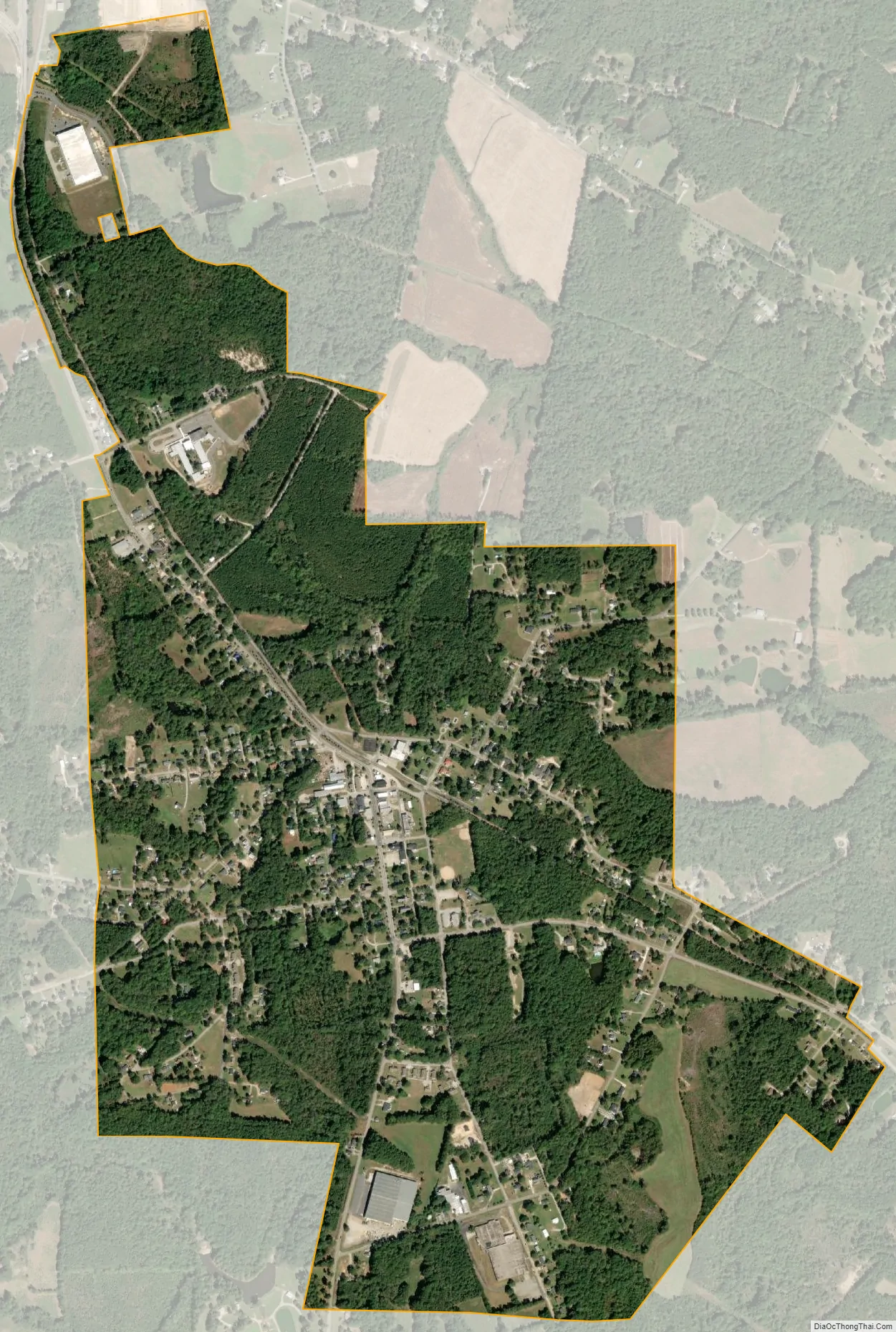
Heath Springs city Satellite Map
Geography
Heath Springs is located at 34°35′30″N 80°40′28″W / 34.59167°N 80.67444°W / 34.59167; -80.67444 (34.591550, -80.674510).
According to the United States Census Bureau, the town has a total area of 1.3 square miles (3.4 km), all land.
The largest company in Heath Springs is Rico Industries, maker of sports-licensed products such as wallets, flags and grill covers.
See also
Map of South Carolina State and its subdivision:- Abbeville
- Aiken
- Allendale
- Anderson
- Bamberg
- Barnwell
- Beaufort
- Berkeley
- Calhoun
- Charleston
- Cherokee
- Chester
- Chesterfield
- Clarendon
- Colleton
- Darlington
- Dillon
- Dorchester
- Edgefield
- Fairfield
- Florence
- Georgetown
- Greenville
- Greenwood
- Hampton
- Horry
- Jasper
- Kershaw
- Lancaster
- Laurens
- Lee
- Lexington
- Marion
- Marlboro
- McCormick
- Newberry
- Oconee
- Orangeburg
- Pickens
- Richland
- Saluda
- Spartanburg
- Sumter
- Union
- Williamsburg
- York
- Alabama
- Alaska
- Arizona
- Arkansas
- California
- Colorado
- Connecticut
- Delaware
- District of Columbia
- Florida
- Georgia
- Hawaii
- Idaho
- Illinois
- Indiana
- Iowa
- Kansas
- Kentucky
- Louisiana
- Maine
- Maryland
- Massachusetts
- Michigan
- Minnesota
- Mississippi
- Missouri
- Montana
- Nebraska
- Nevada
- New Hampshire
- New Jersey
- New Mexico
- New York
- North Carolina
- North Dakota
- Ohio
- Oklahoma
- Oregon
- Pennsylvania
- Rhode Island
- South Carolina
- South Dakota
- Tennessee
- Texas
- Utah
- Vermont
- Virginia
- Washington
- West Virginia
- Wisconsin
- Wyoming