Lamar is a town in Darlington County, South Carolina, United States. The population was 989 at the 2010 census. It is part of the Florence, SC Metropolitan Statistical Area.
| Name: | Lamar town |
|---|---|
| LSAD Code: | 43 |
| LSAD Description: | town (suffix) |
| State: | South Carolina |
| County: | Darlington County |
| Elevation: | 171 ft (52 m) |
| Total Area: | 1.21 sq mi (3.14 km²) |
| Land Area: | 1.21 sq mi (3.14 km²) |
| Water Area: | 0.00 sq mi (0.00 km²) |
| Total Population: | 862 |
| Population Density: | 710.63/sq mi (274.38/km²) |
| ZIP code: | 29069 |
| Area code: | 843, 854 |
| FIPS code: | 4539805 |
| GNISfeature ID: | 1246283 |
| Website: | www.lamarsc.org |
Online Interactive Map
Click on ![]() to view map in "full screen" mode.
to view map in "full screen" mode.
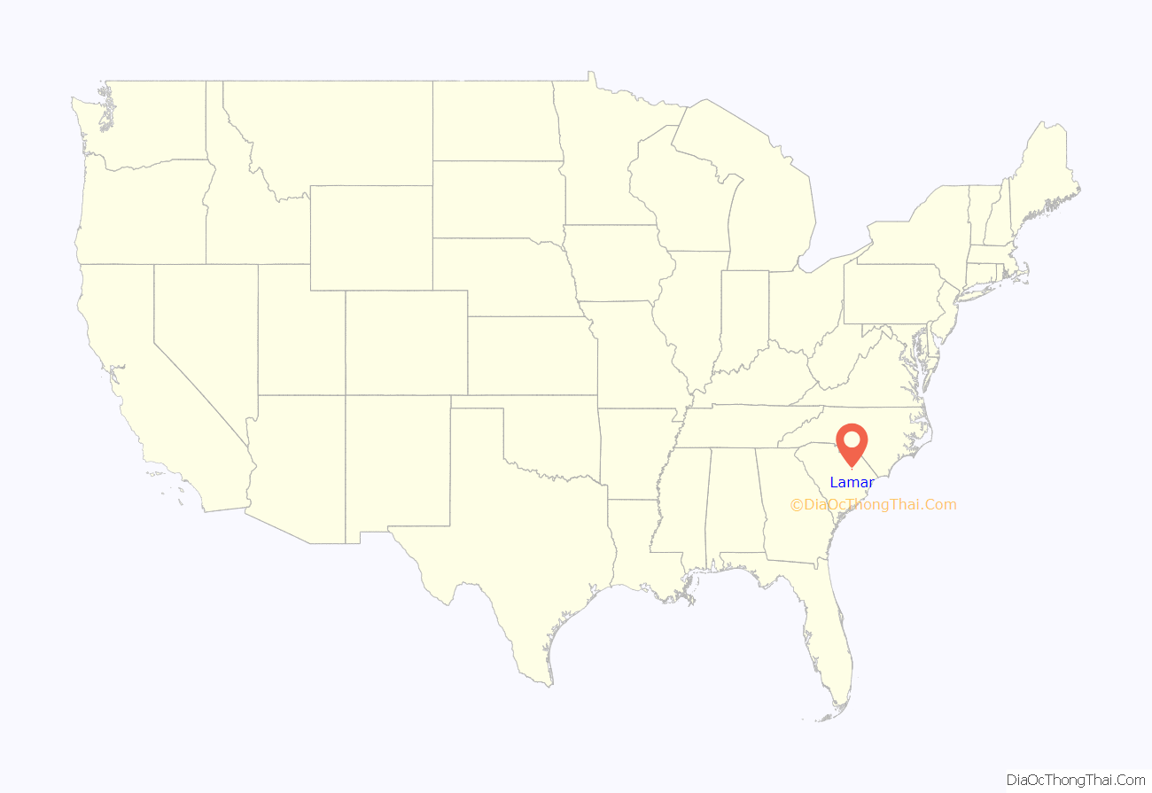
Lamar location map. Where is Lamar town?
History
In March of 2019, the Mayor of Lamar, Darnell Byrd McPherson, called police to her home to investigate a hate crime. She said her car and her husband’s car had been sprayed with a yellow substance by some vandals. However, police determined that the substance was just pollen.
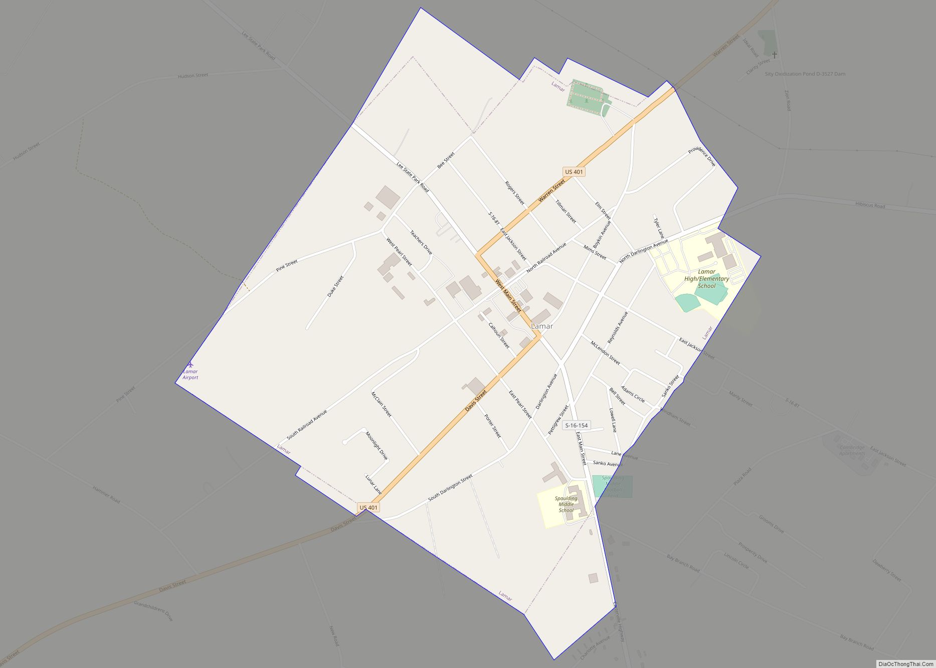
Lamar Road Map
Lamar city Satellite Map
Geography
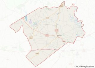
Lamar is located in southwestern Darlington County at 34°10′13″N 80°3′45″W / 34.17028°N 80.06250°W / 34.17028; -80.06250 (34.170388, -80.062526). U.S. Route 401 passes through the town, leading northeast 14 miles (23 km) to Darlington, the county seat, and southwest 24 miles (39 km) to Sumter. Exit 131 on Interstate 20 is 3 miles (5 km) to the northeast of Lamar on US 401.
According to the United States Census Bureau, the town has a total area of 1.2 square miles (3.0 km), all land.
See also
Map of South Carolina State and its subdivision:- Abbeville
- Aiken
- Allendale
- Anderson
- Bamberg
- Barnwell
- Beaufort
- Berkeley
- Calhoun
- Charleston
- Cherokee
- Chester
- Chesterfield
- Clarendon
- Colleton
- Darlington
- Dillon
- Dorchester
- Edgefield
- Fairfield
- Florence
- Georgetown
- Greenville
- Greenwood
- Hampton
- Horry
- Jasper
- Kershaw
- Lancaster
- Laurens
- Lee
- Lexington
- Marion
- Marlboro
- McCormick
- Newberry
- Oconee
- Orangeburg
- Pickens
- Richland
- Saluda
- Spartanburg
- Sumter
- Union
- Williamsburg
- York
- Alabama
- Alaska
- Arizona
- Arkansas
- California
- Colorado
- Connecticut
- Delaware
- District of Columbia
- Florida
- Georgia
- Hawaii
- Idaho
- Illinois
- Indiana
- Iowa
- Kansas
- Kentucky
- Louisiana
- Maine
- Maryland
- Massachusetts
- Michigan
- Minnesota
- Mississippi
- Missouri
- Montana
- Nebraska
- Nevada
- New Hampshire
- New Jersey
- New Mexico
- New York
- North Carolina
- North Dakota
- Ohio
- Oklahoma
- Oregon
- Pennsylvania
- Rhode Island
- South Carolina
- South Dakota
- Tennessee
- Texas
- Utah
- Vermont
- Virginia
- Washington
- West Virginia
- Wisconsin
- Wyoming
