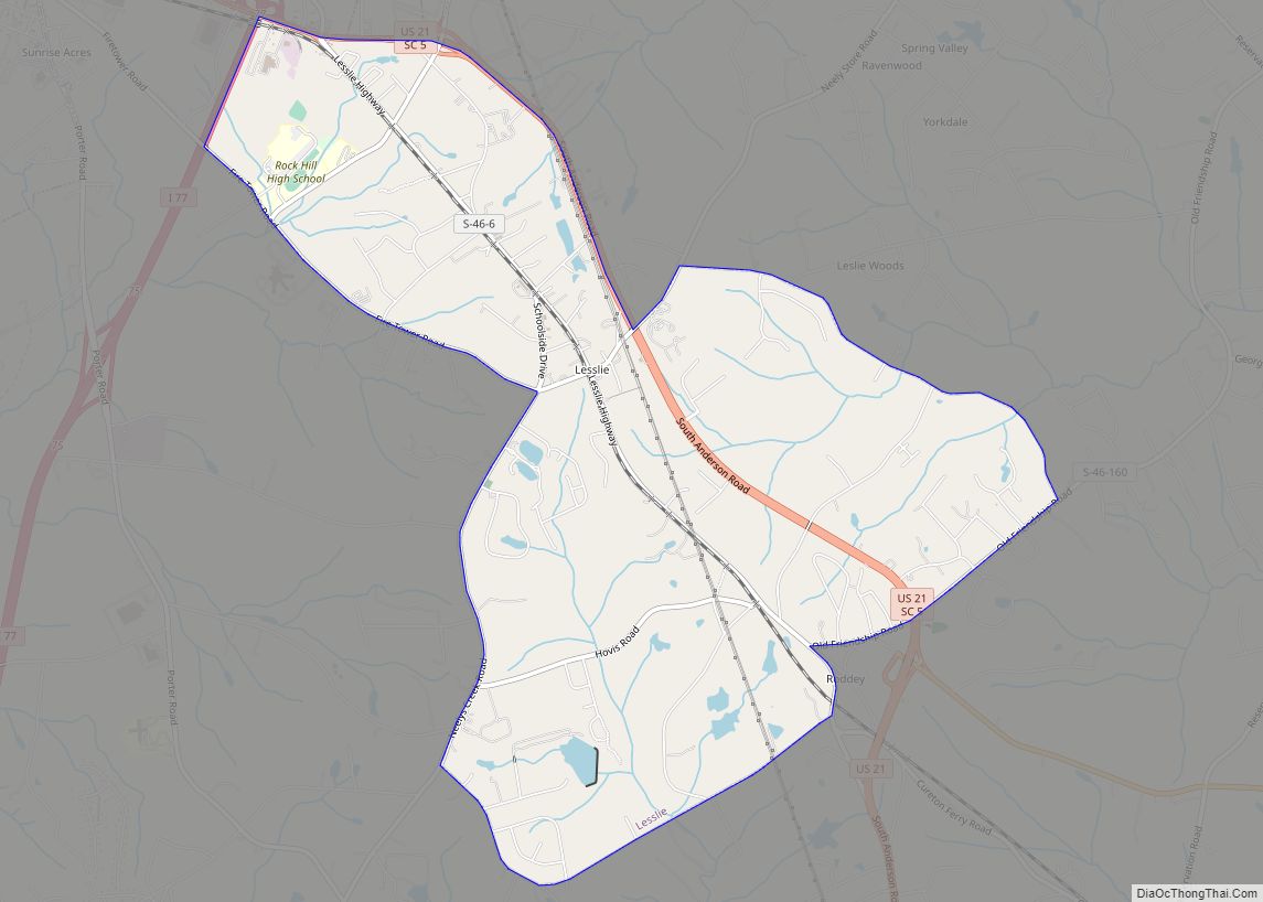
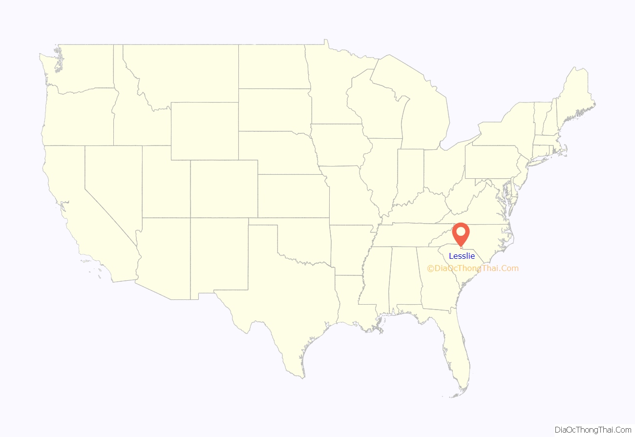
Lesslie is a census-designated place located in York County, South Carolina, United States, southeast of the city of Rock Hill. In 2010, Lesslie had a total population of 2,882 people.
While Lesslie is sometimes considered to be a town, it is not incorporated and does not have a town council or mayor. Lesslie is a fast-growing suburban area a part of the Charlotte Metro along Interstate 77, which can be accessed from exits 75 and 77.
| Name: | Lesslie CDP |
|---|---|
| LSAD Code: | 57 |
| LSAD Description: | CDP (suffix) |
| State: | South Carolina |
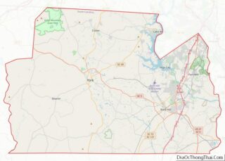
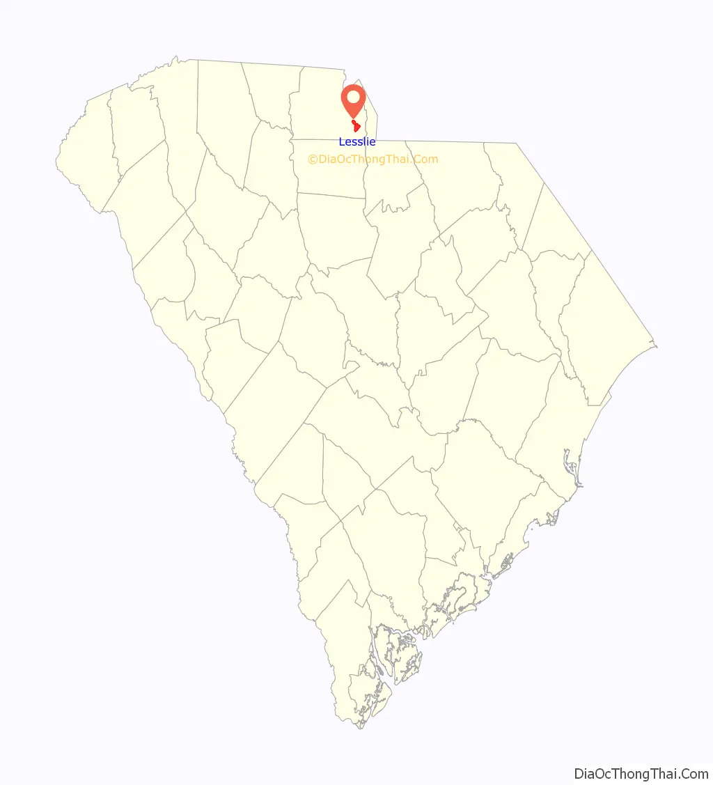
| County: | York County |
| Elevation: | 702 ft (214 m) |
| Total Area: | 6.11 sq mi (15.83 km²) |
| Land Area: | 6.06 sq mi (15.70 km²) |
| Water Area: | 0.05 sq mi (0.13 km²) |
| Total Population: | 3,068 |
| Population Density: | 506.02/sq mi (195.36/km²) |
| Area code: | 803 |
| FIPS code: | 4541065 |
| GNISfeature ID: | 1223879 |
Online Interactive Map
Click on ![]() to view map in "full screen" mode.
to view map in "full screen" mode.
Lesslie location map. Where is Lesslie CDP?
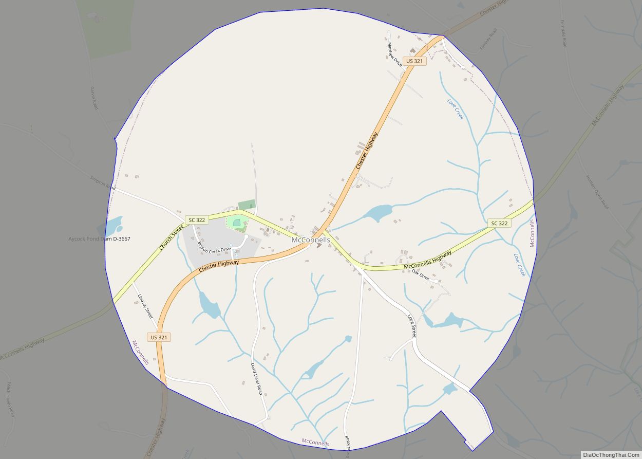
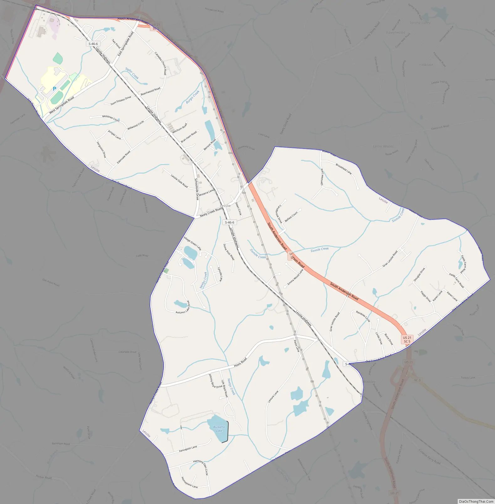
Lesslie Road Map
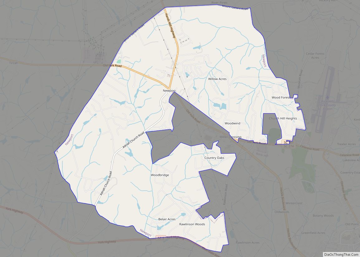
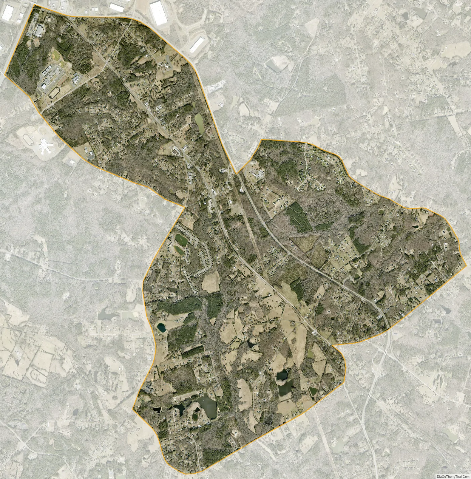
Lesslie city Satellite Map
Geography
Lesslie is located approximately 3 miles (4.8 km) southeast from Rock Hill, at 34°53’25” North, 80°57’23” West.
Lesslie has a total area of 6.0 square miles (16 km), and an elevation of 701 feet (214 m).
See also
Map of South Carolina State and its subdivision:- Abbeville
- Aiken
- Allendale
- Anderson
- Bamberg
- Barnwell
- Beaufort
- Berkeley
- Calhoun
- Charleston
- Cherokee
- Chester
- Chesterfield
- Clarendon
- Colleton
- Darlington
- Dillon
- Dorchester
- Edgefield
- Fairfield
- Florence
- Georgetown
- Greenville
- Greenwood
- Hampton
- Horry
- Jasper
- Kershaw
- Lancaster
- Laurens
- Lee
- Lexington
- Marion
- Marlboro
- McCormick
- Newberry
- Oconee
- Orangeburg
- Pickens
- Richland
- Saluda
- Spartanburg
- Sumter
- Union
- Williamsburg
- York
- Alabama
- Alaska
- Arizona
- Arkansas
- California
- Colorado
- Connecticut
- Delaware
- District of Columbia
- Florida
- Georgia
- Hawaii
- Idaho
- Illinois
- Indiana
- Iowa
- Kansas
- Kentucky
- Louisiana
- Maine
- Maryland
- Massachusetts
- Michigan
- Minnesota
- Mississippi
- Missouri
- Montana
- Nebraska
- Nevada
- New Hampshire
- New Jersey
- New Mexico
- New York
- North Carolina
- North Dakota
- Ohio
- Oklahoma
- Oregon
- Pennsylvania
- Rhode Island
- South Carolina
- South Dakota
- Tennessee
- Texas
- Utah
- Vermont
- Virginia
- Washington
- West Virginia
- Wisconsin
- Wyoming