Lowrys is a small rural town in Chester County, South Carolina, United States. The population was 200 at the 2010 census.
| Name: | Lowrys town |
|---|---|
| LSAD Code: | 43 |
| LSAD Description: | town (suffix) |
| State: | South Carolina |
| County: | Chester County |
| Elevation: | 725 ft (221 m) |
| Total Area: | 3.16 sq mi (8.19 km²) |
| Land Area: | 3.16 sq mi (8.19 km²) |
| Water Area: | 0.00 sq mi (0.00 km²) |
| Total Population: | 184 |
| Population Density: | 58.21/sq mi (22.48/km²) |
| ZIP code: | 29706 |
| Area code: | 803 |
| FIPS code: | 4542865 |
| GNISfeature ID: | 1246482 |
| Website: | www.townoflowrys.org |
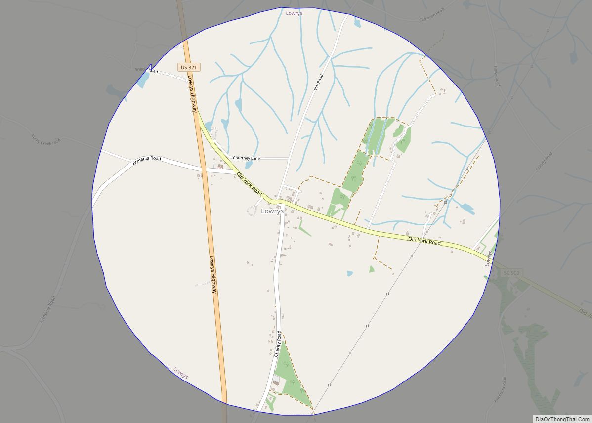
Online Interactive Map
Click on ![]() to view map in "full screen" mode.
to view map in "full screen" mode.
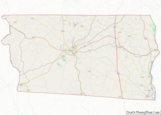
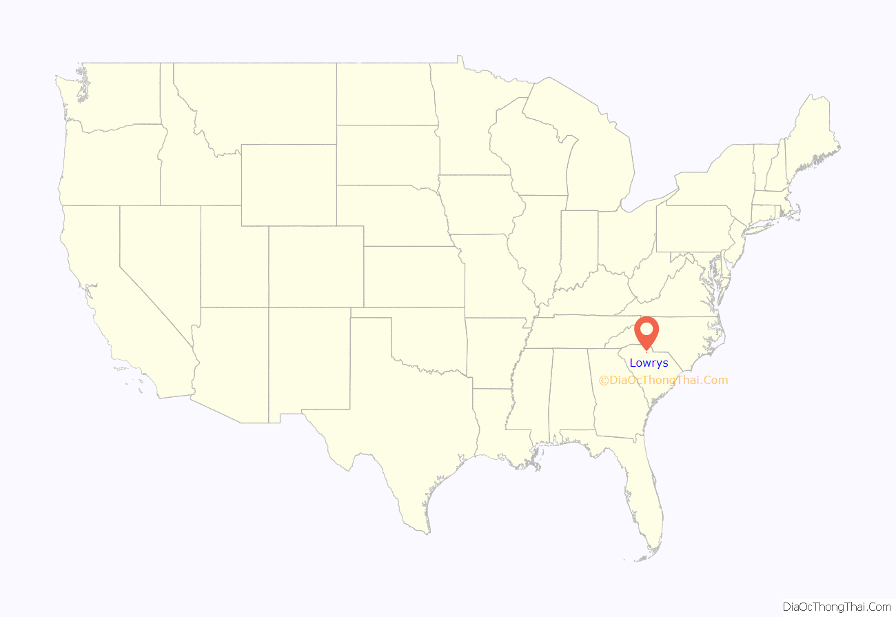
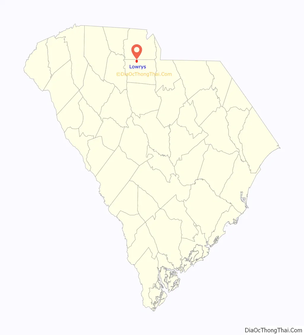
Lowrys location map. Where is Lowrys town?
History
The People’s Free Library of South Carolina was listed on the National Register of Historic Places in 1982.
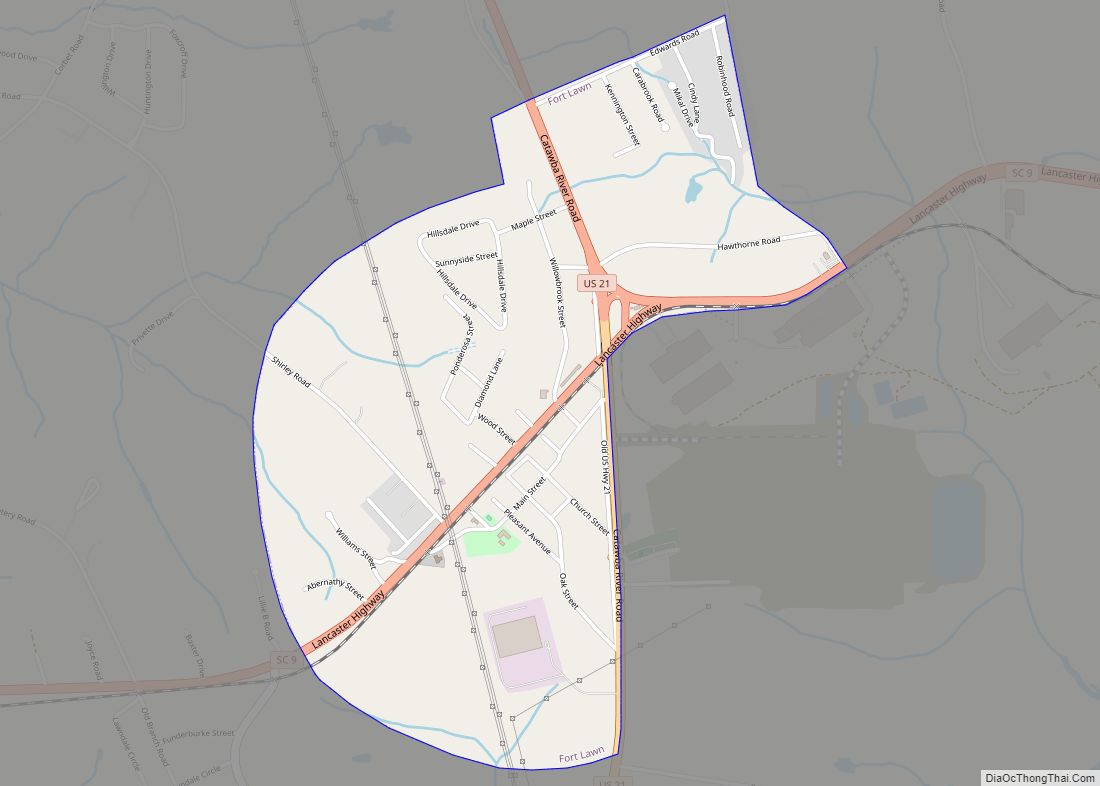
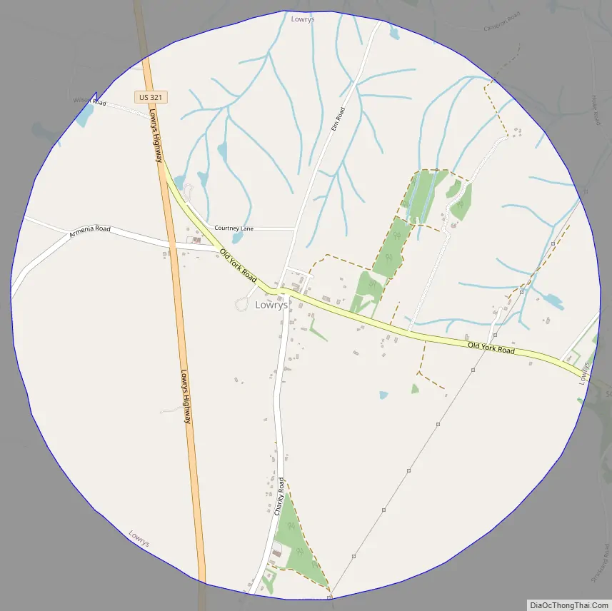
Lowrys Road Map
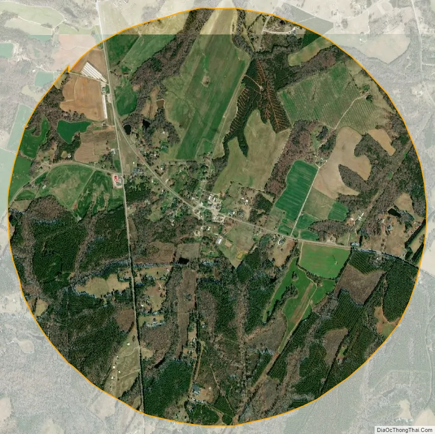
Lowrys city Satellite Map
Geography
Lowrys is located near the northern border of Chester County at 34°48′20″N 81°14′26″W / 34.80556°N 81.24056°W / 34.80556; -81.24056 (34.805501, -81.240463). U.S. Route 321 passes through the western side of the town, leading north 15 miles (24 km) to York and south 8 miles (13 km) to Chester. South Carolina Highway 909 (Old York Road) passes through the center of Lowrys and leads southeast 2.5 miles (4.0 km) to Chester Catawba Regional Airport.
According to the United States Census Bureau, the town has a total area of 3.2 square miles (8.2 km), all of it land.
See also
Map of South Carolina State and its subdivision:- Abbeville
- Aiken
- Allendale
- Anderson
- Bamberg
- Barnwell
- Beaufort
- Berkeley
- Calhoun
- Charleston
- Cherokee
- Chester
- Chesterfield
- Clarendon
- Colleton
- Darlington
- Dillon
- Dorchester
- Edgefield
- Fairfield
- Florence
- Georgetown
- Greenville
- Greenwood
- Hampton
- Horry
- Jasper
- Kershaw
- Lancaster
- Laurens
- Lee
- Lexington
- Marion
- Marlboro
- McCormick
- Newberry
- Oconee
- Orangeburg
- Pickens
- Richland
- Saluda
- Spartanburg
- Sumter
- Union
- Williamsburg
- York
- Alabama
- Alaska
- Arizona
- Arkansas
- California
- Colorado
- Connecticut
- Delaware
- District of Columbia
- Florida
- Georgia
- Hawaii
- Idaho
- Illinois
- Indiana
- Iowa
- Kansas
- Kentucky
- Louisiana
- Maine
- Maryland
- Massachusetts
- Michigan
- Minnesota
- Mississippi
- Missouri
- Montana
- Nebraska
- Nevada
- New Hampshire
- New Jersey
- New Mexico
- New York
- North Carolina
- North Dakota
- Ohio
- Oklahoma
- Oregon
- Pennsylvania
- Rhode Island
- South Carolina
- South Dakota
- Tennessee
- Texas
- Utah
- Vermont
- Virginia
- Washington
- West Virginia
- Wisconsin
- Wyoming