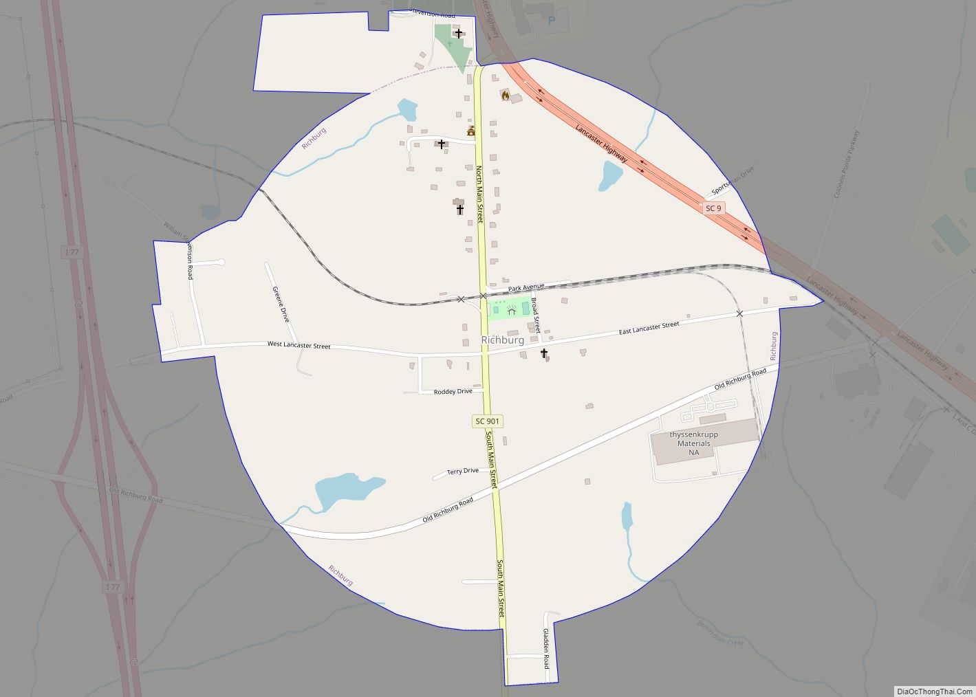
Richburg is a town in Chester County, South Carolina, United States. The population was 275 at the 2010 census, down from 332 at the 2000 census.
| Name: | Richburg town |
|---|---|
| LSAD Code: | 43 |
| LSAD Description: | town (suffix) |
| State: | South Carolina |
| County: | Chester County |
| Elevation: | 584 ft (178 m) |
| Total Area: | 0.88 sq mi (2.27 km²) |
| Land Area: | 0.88 sq mi (2.27 km²) |
| Water Area: | 0.00 sq mi (0.00 km²) |
| Total Population: | 280 |
| Population Density: | 319.63/sq mi (123.37/km²) |
| ZIP code: | 29729 |
| Area code: | 803, 839 |
| FIPS code: | 4559920 |
| GNISfeature ID: | 1250370 |
Online Interactive Map
Click on ![]() to view map in "full screen" mode.
to view map in "full screen" mode.
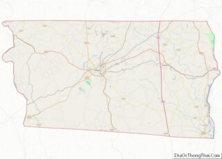
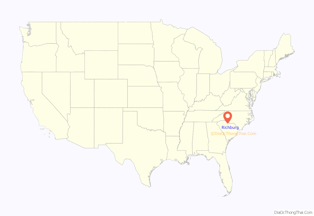
Richburg location map. Where is Richburg town?

History
The Elliott House and Landsford Plantation House are listed on the National Register of Historic Places.
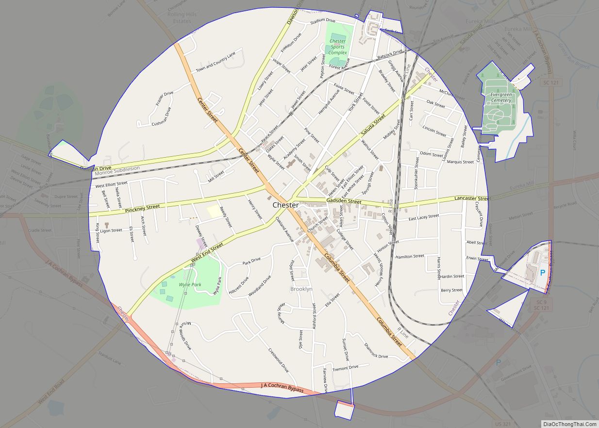
Richburg Road Map
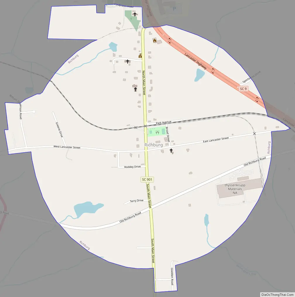
Richburg city Satellite Map

Geography
Richburg is located in east-central Chester County at 34°43′3″N 81°1′11″W / 34.71750°N 81.01972°W / 34.71750; -81.01972 (34.717374, -81.019635). Interstate 77 passes just west of the town, with access from Exits 62 and 65. I-77 leads north 40 miles (64 km) to Charlotte and south 53 miles (85 km) to Columbia. South Carolina Highway 9 passes through the northeast side of the town, leading west 13 miles (21 km) to Chester, the county seat, and east 16 miles (26 km) to Lancaster.
According to the United States Census Bureau, Richburg has a total area of 0.89 square miles (2.3 km), all of it land.
See also
Map of South Carolina State and its subdivision:- Abbeville
- Aiken
- Allendale
- Anderson
- Bamberg
- Barnwell
- Beaufort
- Berkeley
- Calhoun
- Charleston
- Cherokee
- Chester
- Chesterfield
- Clarendon
- Colleton
- Darlington
- Dillon
- Dorchester
- Edgefield
- Fairfield
- Florence
- Georgetown
- Greenville
- Greenwood
- Hampton
- Horry
- Jasper
- Kershaw
- Lancaster
- Laurens
- Lee
- Lexington
- Marion
- Marlboro
- McCormick
- Newberry
- Oconee
- Orangeburg
- Pickens
- Richland
- Saluda
- Spartanburg
- Sumter
- Union
- Williamsburg
- York
- Alabama
- Alaska
- Arizona
- Arkansas
- California
- Colorado
- Connecticut
- Delaware
- District of Columbia
- Florida
- Georgia
- Hawaii
- Idaho
- Illinois
- Indiana
- Iowa
- Kansas
- Kentucky
- Louisiana
- Maine
- Maryland
- Massachusetts
- Michigan
- Minnesota
- Mississippi
- Missouri
- Montana
- Nebraska
- Nevada
- New Hampshire
- New Jersey
- New Mexico
- New York
- North Carolina
- North Dakota
- Ohio
- Oklahoma
- Oregon
- Pennsylvania
- Rhode Island
- South Carolina
- South Dakota
- Tennessee
- Texas
- Utah
- Vermont
- Virginia
- Washington
- West Virginia
- Wisconsin
- Wyoming