Mullins is a city in Marion County, South Carolina, United States. As of the 2010 census, the city population was 4,663.
Incorporated on March 4, 1872, Mullins was named after Col. William S. Mullins, who served as a representative for Marion County in the South Carolina State Legislature from 1852 to 1866.
| Name: | Mullins city |
|---|---|
| LSAD Code: | 25 |
| LSAD Description: | city (suffix) |
| State: | South Carolina |
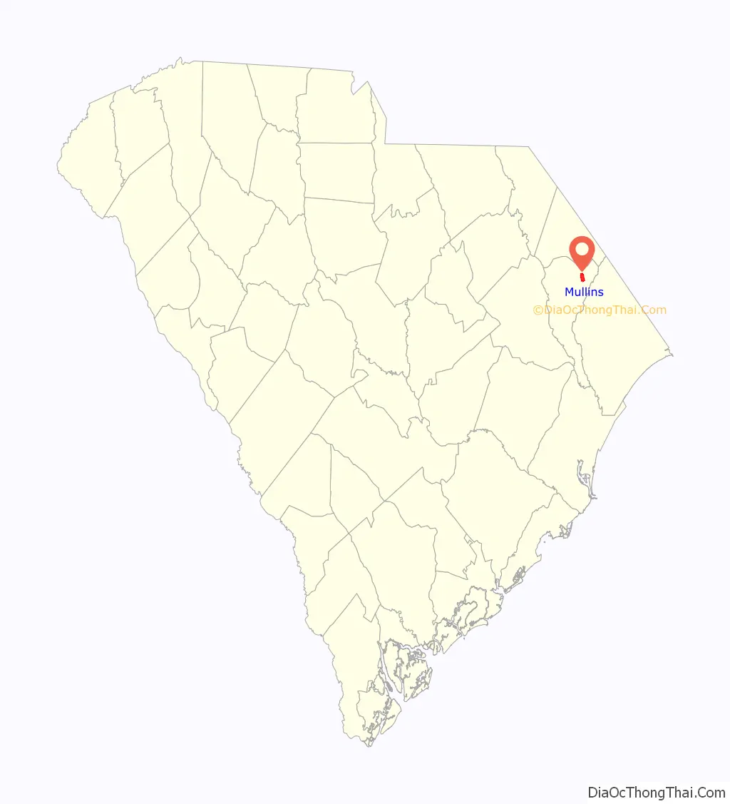
| County: | Marion County |
| Elevation: | 98 ft (30 m) |
| Total Area: | 3.02 sq mi (7.82 km²) |
| Land Area: | 3.02 sq mi (7.82 km²) |
| Water Area: | 0.00 sq mi (0.00 km²) |
| Total Population: | 4,026 |
| Population Density: | 1,332.67/sq mi (514.52/km²) |
| ZIP code: | 29574 |
| Area code: | 843, 854 |
| FIPS code: | 4548805 |
| GNISfeature ID: | 1224890 |
| Website: | www.mullinssc.us |
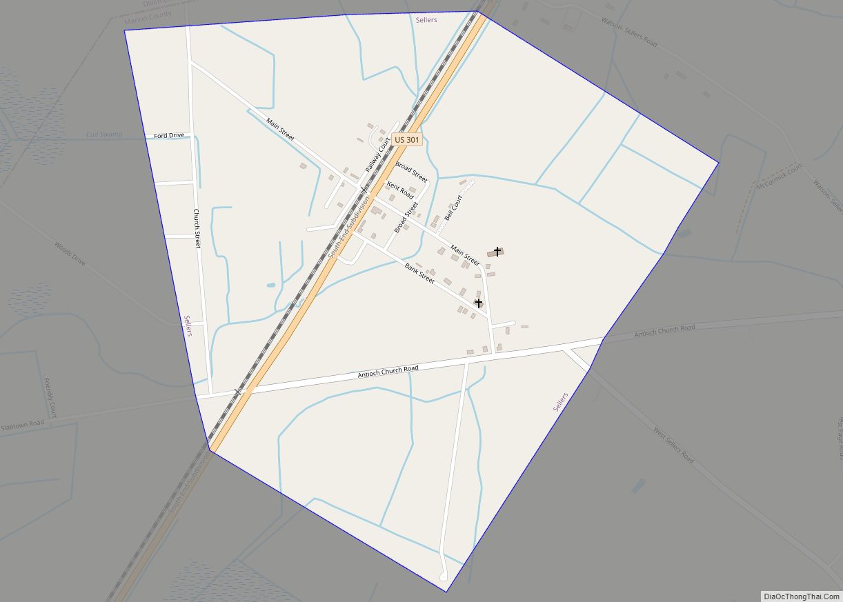
Online Interactive Map
Click on ![]() to view map in "full screen" mode.
to view map in "full screen" mode.
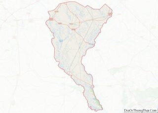
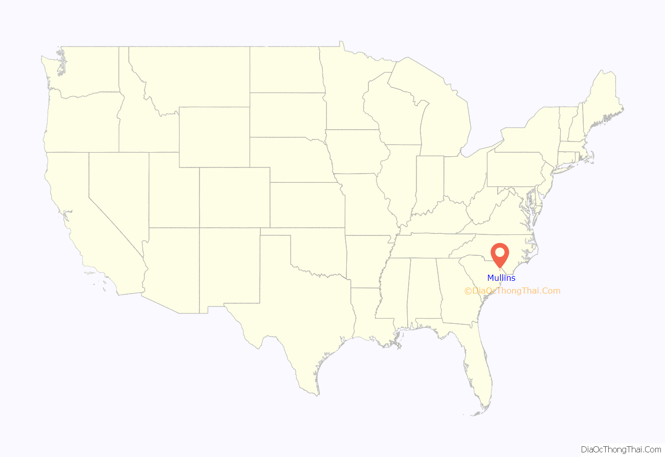
Mullins location map. Where is Mullins city?
History
On March 4, 1872, the charter was approved for the town of Mullins. The same year the Macedonia Methodist church was established, the first church within city limits. By 1878, the city of Mullins had a population of 75 people, a total of 12 families. There were only three stores and four unpaved streets: Railroad, Main, Smith, and Gapway Streets. Gapway Road was designed from 76 Hwy in 1933.
In 1894, the growth and sale of tobacco sparked the further development of the city of Mullins. At one time, the town was the largest tobacco producing/marketing industry in the United States. Mullins became the largest distributor of tobacco in the country, known as “South Carolina’s Largest, The world’s best tobacco market.” In the late 1920s the tobacco festival was started and is still celebrated today. The tobacco festival is known as the ‘Golden Leaf Festival.”
Mullins’ first school was established in 1872, which was attended by boys and girls from the town, nearby rural areas, and neighboring counties. The first schoolhouse was built in 1904; a brick, two-story building on Academy Street. A second schoolhouse was built in 1913, on the corner of Main and Academy streets. Mullins High School was built in 1923 on North Park Street where it stood until burning in 1976. It was rebuilt close to the old Marion highway, outside of the city limits. McCormick Elementary School was built on Sandy Bluff Road in 1956. The original Palmetto School for Negroes (High and Elementary) was built on Cypress Street in 1919 and around 1956 was split up. The Palmetto Elementary School was built on Broad Street. The Palmetto High School was built on O’Neal Street with 1970 being the last graduating class. It became Palmetto Middle School as it remains today. In 1970 all schools were combined into a fully integrated school system.
In 1910, the public library was established. The current library, located at the corner of N. Main and Wine Streets, was built in 1940.
The A.H. Buchan Company Building, Dillard Barn, Imperial Tobacco Company Building, Liberty Warehouse, Mt. Olive Baptist Church, Mullins Commercial Historic District, Neal and Dixon’s Warehouse, Old Brick Warehouse, Rasor and Clardy Company Building, and J.C. Teasley House are listed on the National Register of Historic Places.
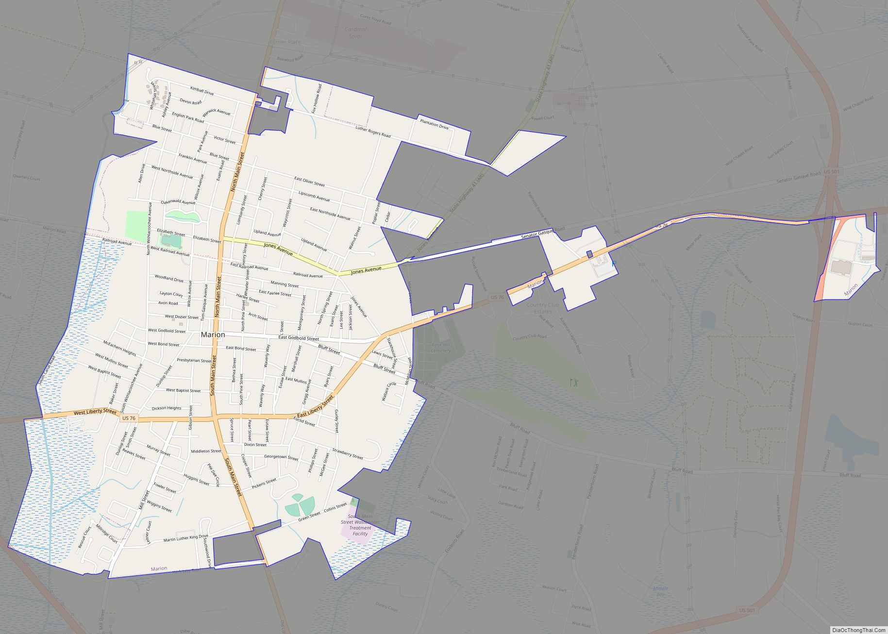
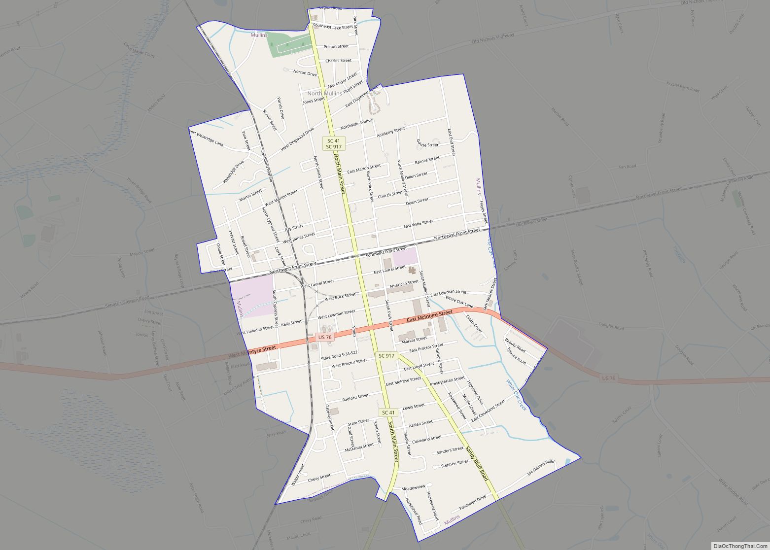
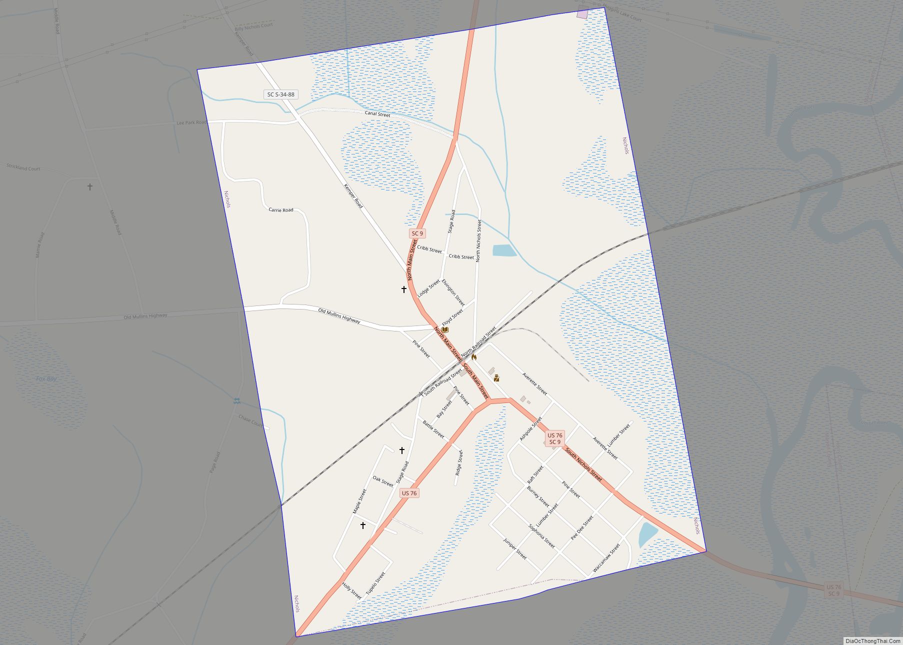
Mullins Road Map
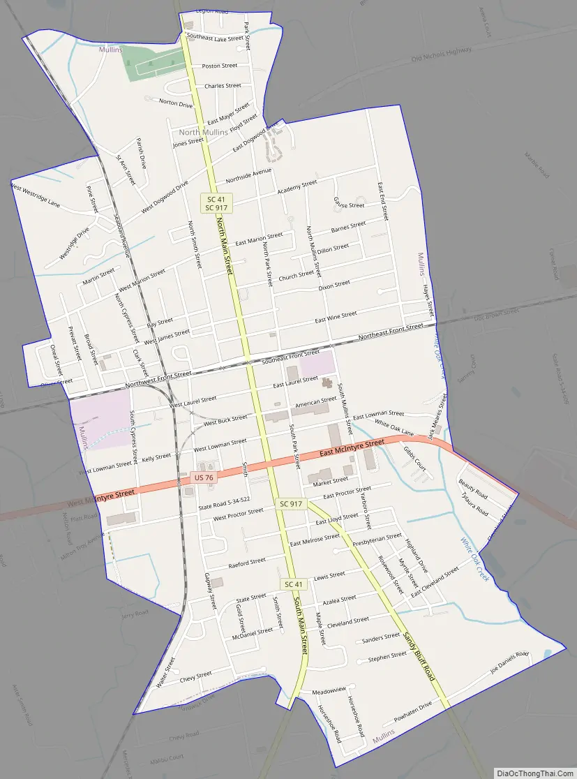
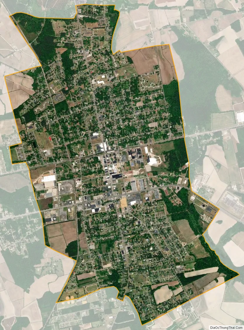
Mullins city Satellite Map
Geography
Mullins is located at 34°12′19″N 79°15′19″W / 34.20528°N 79.25528°W / 34.20528; -79.25528 (34.205239, -79.255309).
According to the United States Census Bureau, the city has a total area of 3.0 square miles (7.8 km), all land.
See also
Map of South Carolina State and its subdivision:- Abbeville
- Aiken
- Allendale
- Anderson
- Bamberg
- Barnwell
- Beaufort
- Berkeley
- Calhoun
- Charleston
- Cherokee
- Chester
- Chesterfield
- Clarendon
- Colleton
- Darlington
- Dillon
- Dorchester
- Edgefield
- Fairfield
- Florence
- Georgetown
- Greenville
- Greenwood
- Hampton
- Horry
- Jasper
- Kershaw
- Lancaster
- Laurens
- Lee
- Lexington
- Marion
- Marlboro
- McCormick
- Newberry
- Oconee
- Orangeburg
- Pickens
- Richland
- Saluda
- Spartanburg
- Sumter
- Union
- Williamsburg
- York
- Alabama
- Alaska
- Arizona
- Arkansas
- California
- Colorado
- Connecticut
- Delaware
- District of Columbia
- Florida
- Georgia
- Hawaii
- Idaho
- Illinois
- Indiana
- Iowa
- Kansas
- Kentucky
- Louisiana
- Maine
- Maryland
- Massachusetts
- Michigan
- Minnesota
- Mississippi
- Missouri
- Montana
- Nebraska
- Nevada
- New Hampshire
- New Jersey
- New Mexico
- New York
- North Carolina
- North Dakota
- Ohio
- Oklahoma
- Oregon
- Pennsylvania
- Rhode Island
- South Carolina
- South Dakota
- Tennessee
- Texas
- Utah
- Vermont
- Virginia
- Washington
- West Virginia
- Wisconsin
- Wyoming