New Ellenton is a city in Aiken County, South Carolina, United States. The population was 2,210 at the 2020 census. It is part of the Augusta, Georgia metropolitan area.
| Name: | New Ellenton town |
|---|---|
| LSAD Code: | 43 |
| LSAD Description: | town (suffix) |
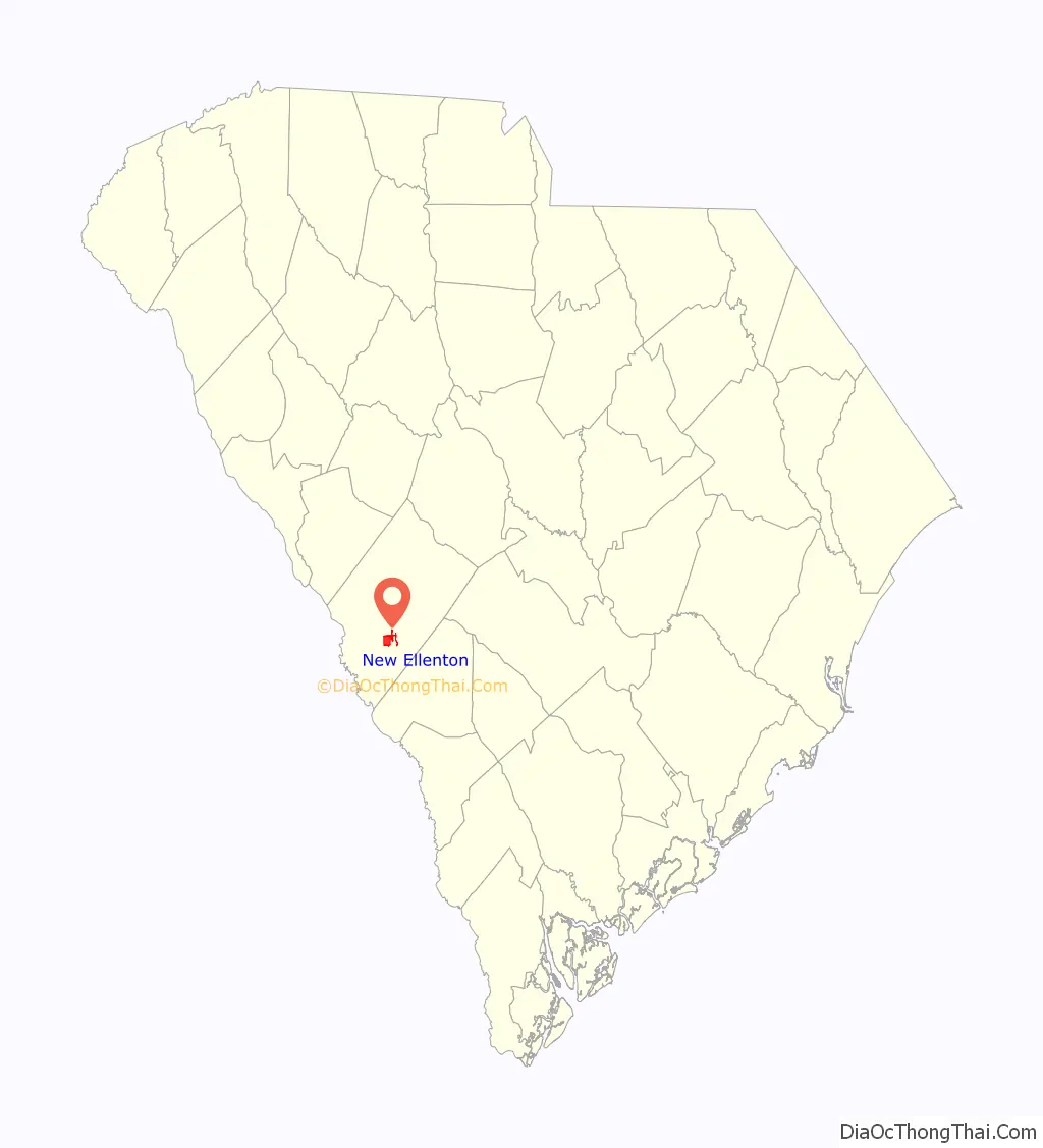
| State: | South Carolina |
| County: | Aiken County |
| Elevation: | 410 ft (125 m) |
| Total Area: | 4.45 sq mi (11.51 km²) |
| Land Area: | 4.44 sq mi (11.50 km²) |
| Water Area: | 0.01 sq mi (0.01 km²) |
| Total Population: | 2,210 |
| Population Density: | 497.75/sq mi (192.17/km²) |
| ZIP code: | 29809 |
| Area code: | 803, 839 |
| FIPS code: | 4549705 |
| GNISfeature ID: | 1231587 |
| Website: | www.newellentonsc.com |
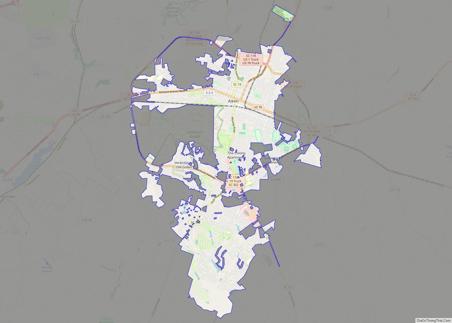
Online Interactive Map
Click on ![]() to view map in "full screen" mode.
to view map in "full screen" mode.
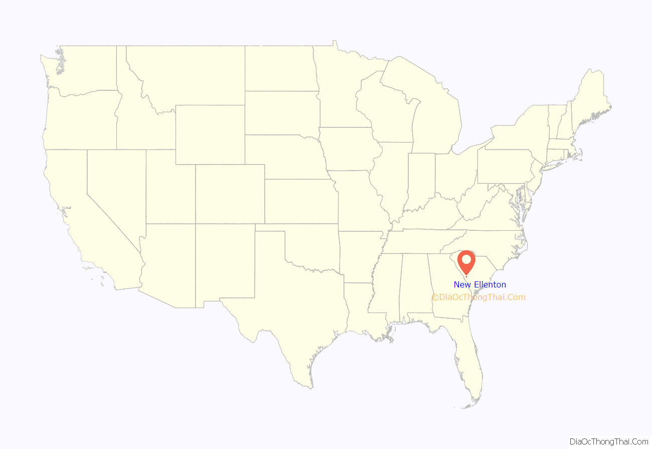
New Ellenton location map. Where is New Ellenton town?
History
New Ellenton was formed from the citizens of Ellenton, a farming town chartered in 1880 and situated on the Charleston and Western Carolina Railway in Barnwell County near the Aiken County line. Upon the approval of President Truman in 1950 of the Savannah River Site for the production of hydrogen bombs, the U.S. government forced 6,000 people in the surrounding area to move. The residents of Ellenton literally moved their homes and buildings 14 miles (23 km) north to New Ellenton after being evicted in the 1950s.
New Ellenton Road Map
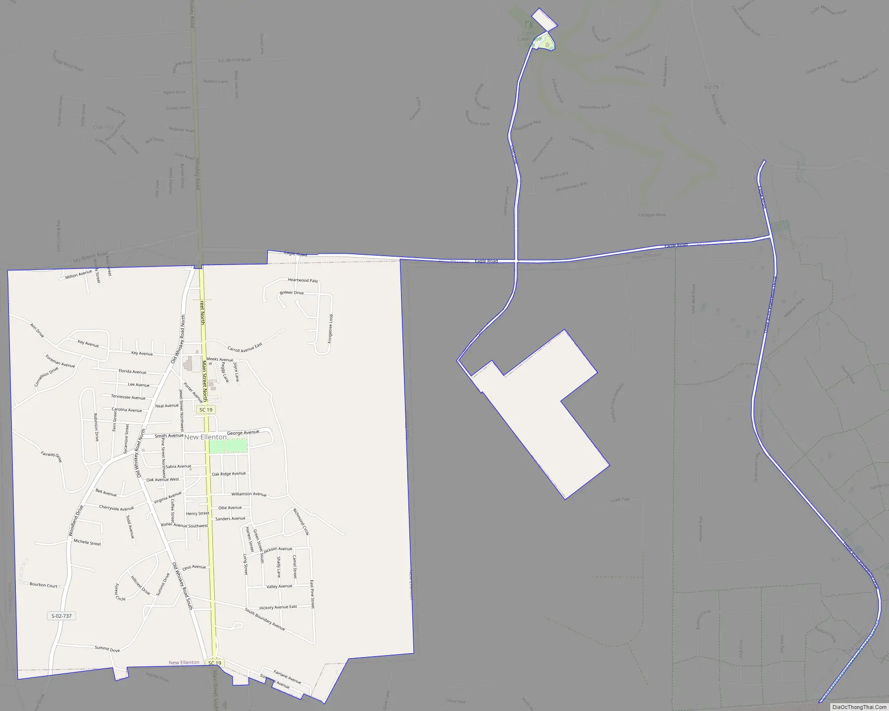
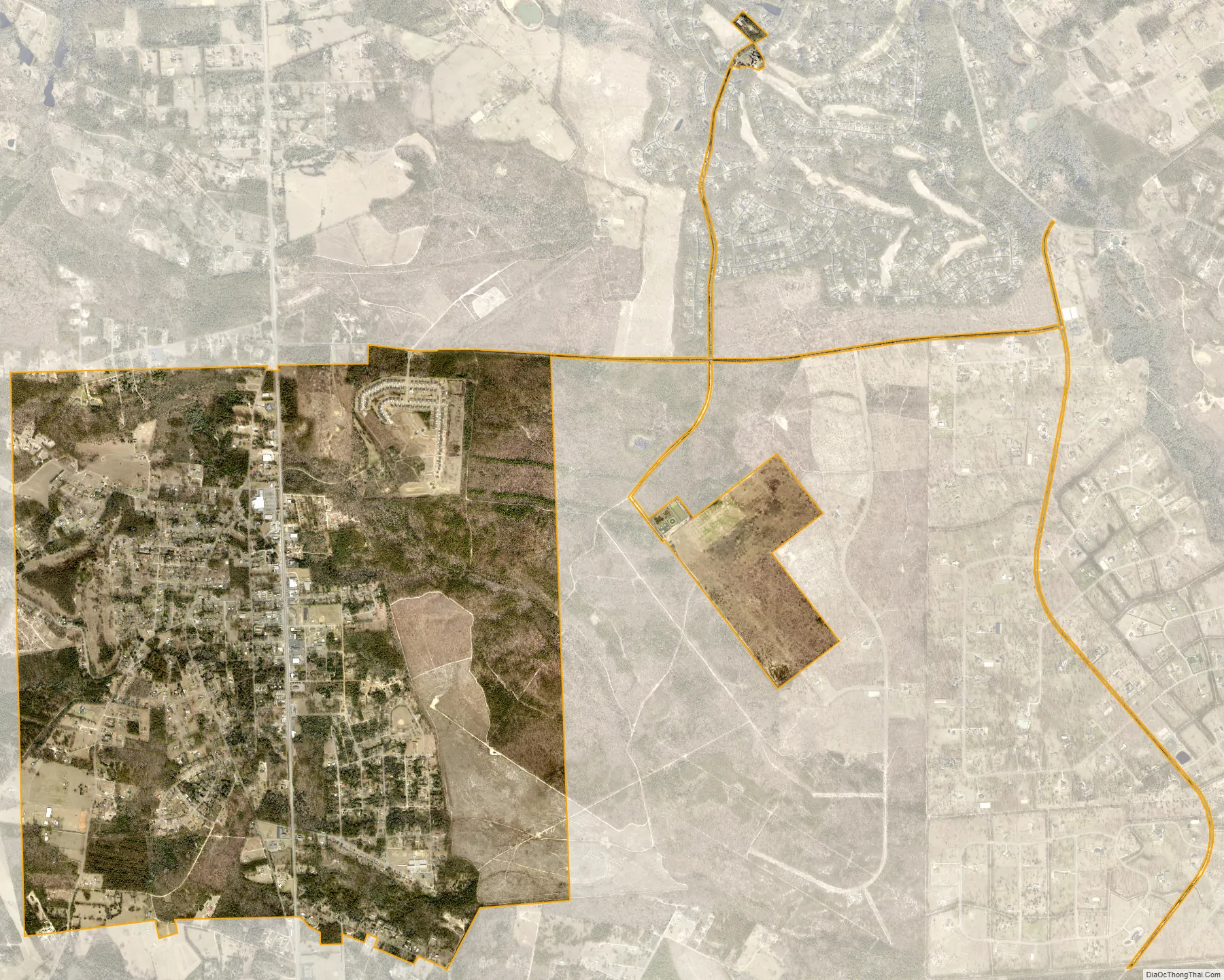
New Ellenton city Satellite Map
Geography
New Ellenton is located at 33°25′17″N 81°40′51″W / 33.42139°N 81.68083°W / 33.42139; -81.68083 (33.421311, −81.680856) in southern Aiken County, about 1 mile (1.6 km) north of the U.S. Department of Energy Savannah River Site. South Carolina Highway 19 is Main Street for the community, leading north 10 miles (16 km) to Aiken, the county seat, and south 1 mile to U.S. Route 278, which leads west 17 miles (27 km) to Augusta, Georgia, and southeast 24 miles (39 km) to Barnwell.
According to the United States Census Bureau, the town has a total area of 4.8 square miles (12.4 km), all land.
See also
Map of South Carolina State and its subdivision:- Abbeville
- Aiken
- Allendale
- Anderson
- Bamberg
- Barnwell
- Beaufort
- Berkeley
- Calhoun
- Charleston
- Cherokee
- Chester
- Chesterfield
- Clarendon
- Colleton
- Darlington
- Dillon
- Dorchester
- Edgefield
- Fairfield
- Florence
- Georgetown
- Greenville
- Greenwood
- Hampton
- Horry
- Jasper
- Kershaw
- Lancaster
- Laurens
- Lee
- Lexington
- Marion
- Marlboro
- McCormick
- Newberry
- Oconee
- Orangeburg
- Pickens
- Richland
- Saluda
- Spartanburg
- Sumter
- Union
- Williamsburg
- York
- Alabama
- Alaska
- Arizona
- Arkansas
- California
- Colorado
- Connecticut
- Delaware
- District of Columbia
- Florida
- Georgia
- Hawaii
- Idaho
- Illinois
- Indiana
- Iowa
- Kansas
- Kentucky
- Louisiana
- Maine
- Maryland
- Massachusetts
- Michigan
- Minnesota
- Mississippi
- Missouri
- Montana
- Nebraska
- Nevada
- New Hampshire
- New Jersey
- New Mexico
- New York
- North Carolina
- North Dakota
- Ohio
- Oklahoma
- Oregon
- Pennsylvania
- Rhode Island
- South Carolina
- South Dakota
- Tennessee
- Texas
- Utah
- Vermont
- Virginia
- Washington
- West Virginia
- Wisconsin
- Wyoming