Nichols is a town in Marion County, South Carolina, United States. The population was 368 at the 2010 census.
| Name: | Nichols town |
|---|---|
| LSAD Code: | 43 |
| LSAD Description: | town (suffix) |
| State: | South Carolina |
| County: | Marion County |
| Elevation: | 56 ft (17 m) |
| Total Area: | 1.34 sq mi (3.46 km²) |
| Land Area: | 1.34 sq mi (3.46 km²) |
| Water Area: | 0.00 sq mi (0.00 km²) |
| Total Population: | 234 |
| Population Density: | 175.15/sq mi (67.60/km²) |
| ZIP code: | 29581 |
| Area code: | 843 and 854 |
| FIPS code: | 4550110 |
| GNISfeature ID: | 1225046 |
Online Interactive Map
Click on ![]() to view map in "full screen" mode.
to view map in "full screen" mode.
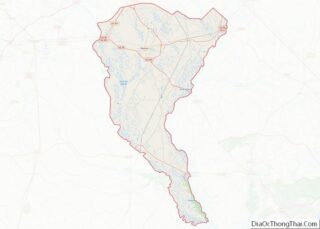
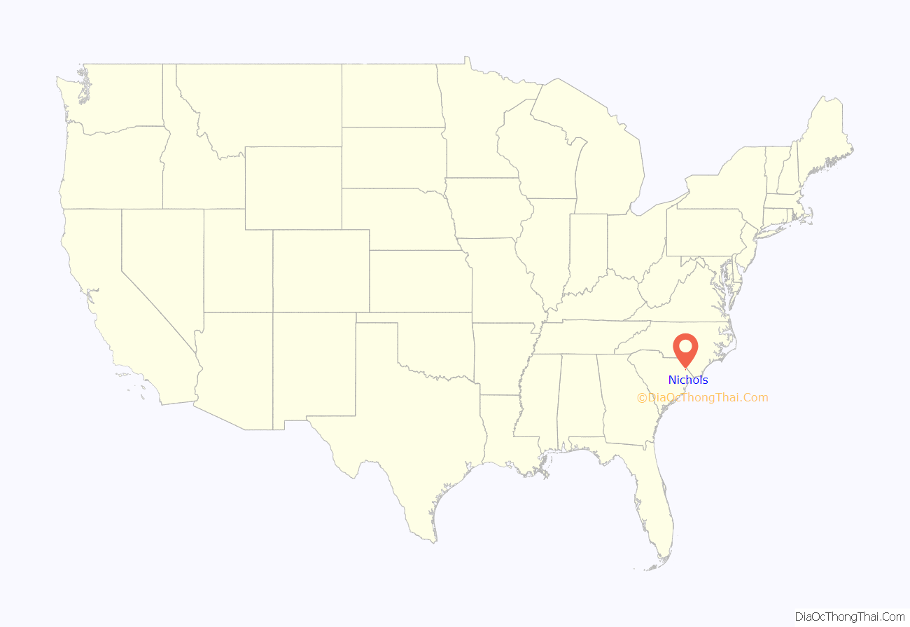
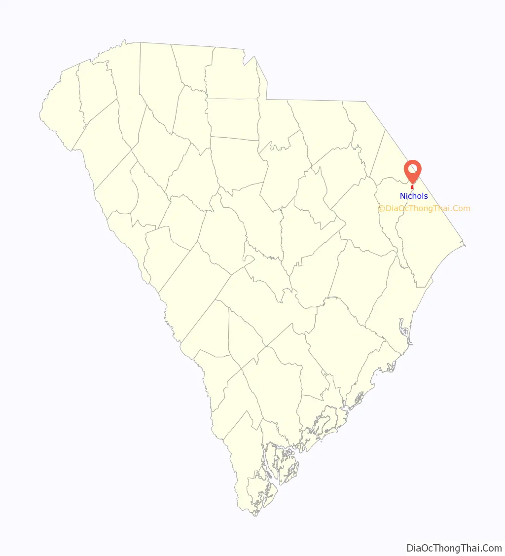
Nichols location map. Where is Nichols town?
History
The town was founded around the same time as Marion and Mullins, which was sometime after 1854 and was initially known as Floydsville. This was due to the land being on Harman Floyd’s land that was sold off as town lots after his passing. These lots were surrounding depots for the Wilmington and Manchester Railroad. The town experienced a minor boom due to the turpentine industry, which shortly died out and was replaced by the tobacco industry. Later on, the town was renamed to its current title of Nichols, this time to honor Averett B. Nichols, who was a businessman that built a warehouse and store to take advantage of the tobacco boom and owned other stores in the town beside those of John H. Stroud and C. R. Ford. Following World War II, a popular employer was a local store focusing in furniture that went by the name Pilliod of Carolina.
The town suffered severe flooding from Hurricane Matthew from the nearby Lumber River in 2016. Five months after the hurricane, 216 of the town’s 261 homes remained vacant. Two of six churches remained closed, as were 15 of 22 businesses, the library, and most of the fire and police department resources. Mayor Lawson Battle suggested that the State House request that the Senate requisition $700,000 to help repair nearly 400 water-damaged buildings, replace vehicles, and reopen government offices. State Senator Kent Williams proposed this money be taken from the $4.5 million left over from a 2015 farmer aid package for storm damage.
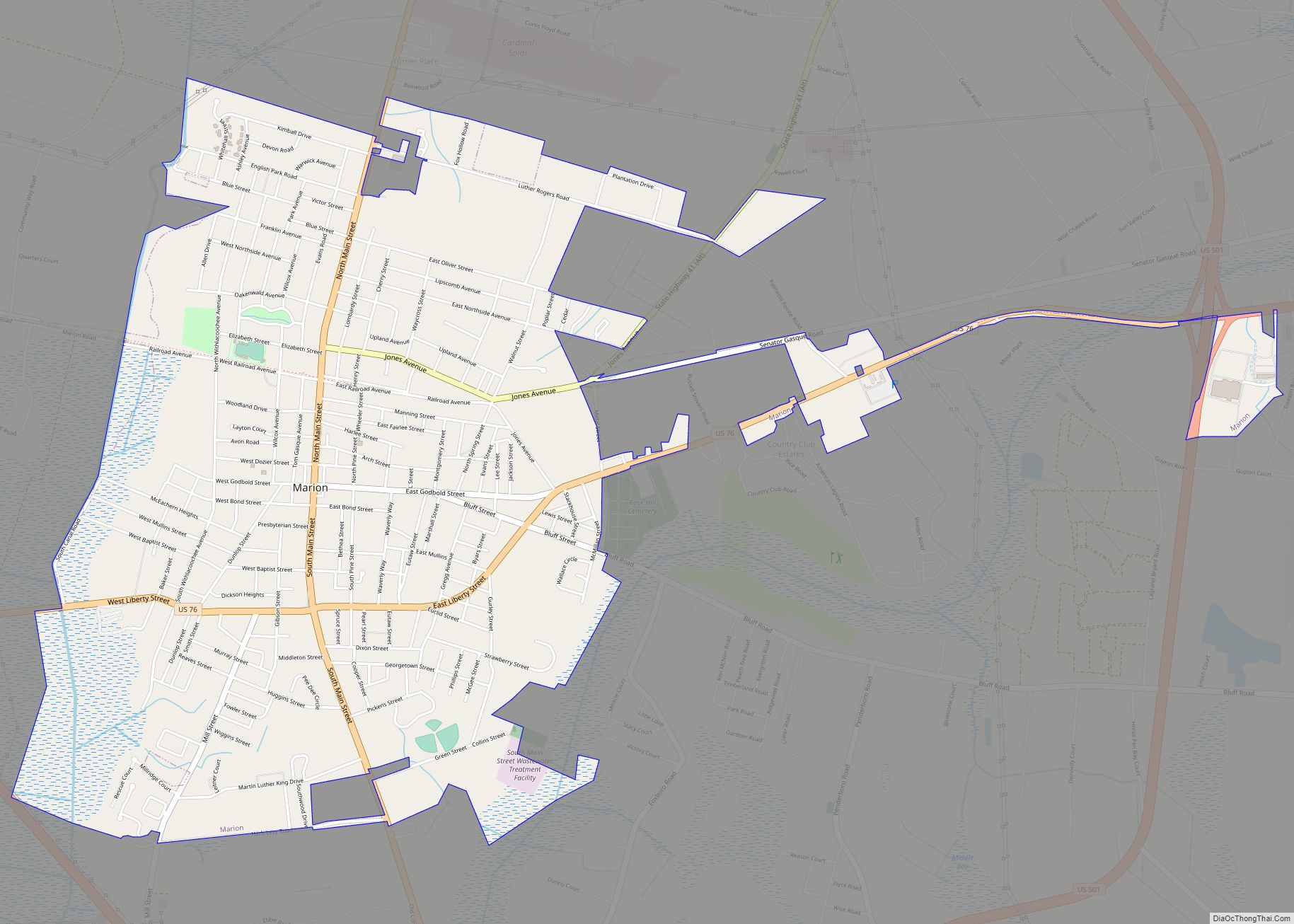
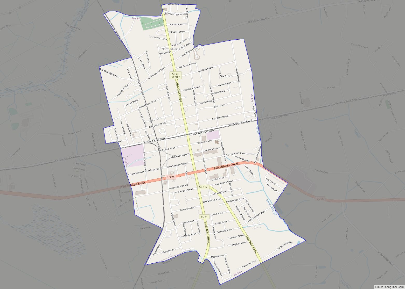
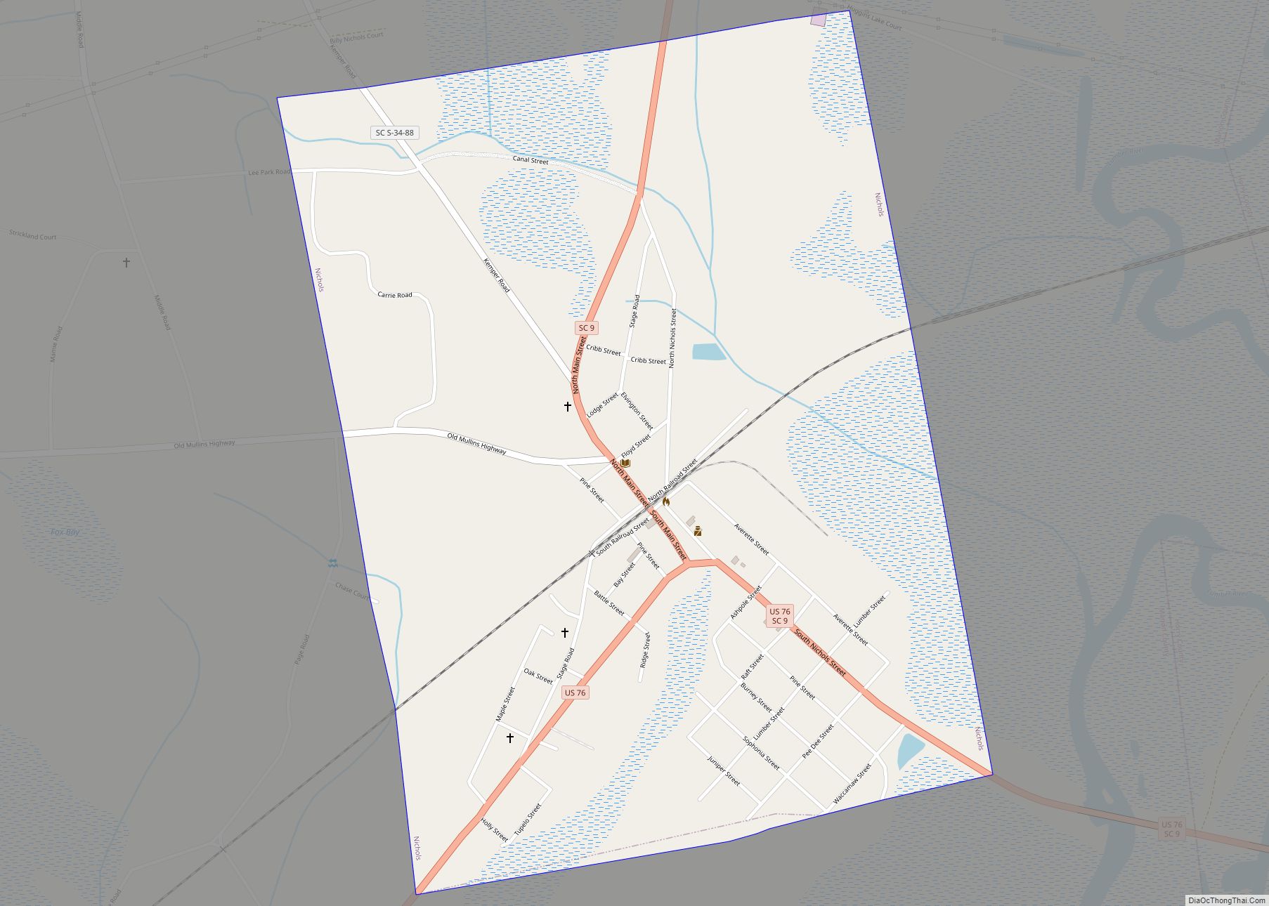
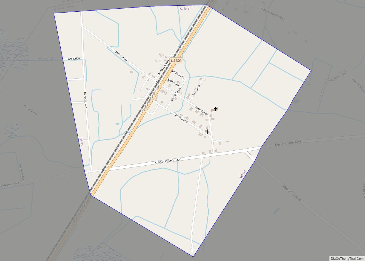
Nichols Road Map
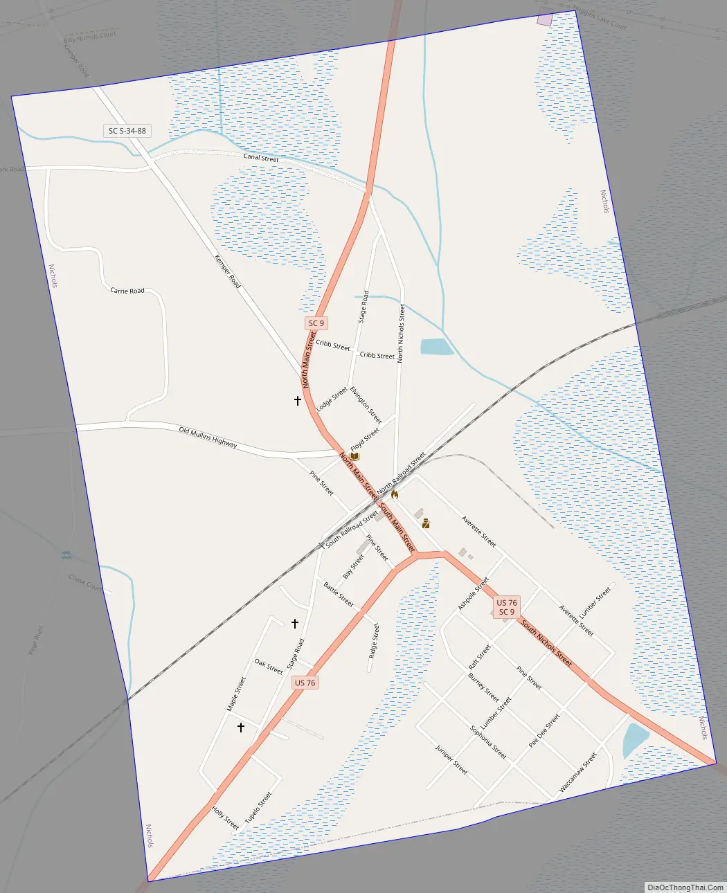
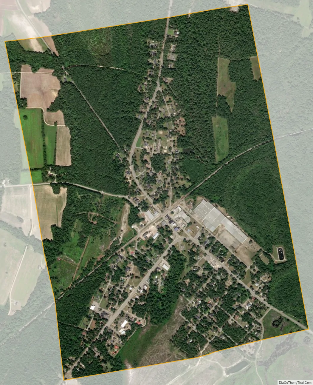
Nichols city Satellite Map
Geography
Nichols is located at 34°13′58″N 79°8′55″W / 34.23278°N 79.14861°W / 34.23278; -79.14861 (34.232779, -79.148513).
According to the United States Census Bureau, the town has a total area of 1.4 square miles (3.6 km), all land.
See also
Map of South Carolina State and its subdivision:- Abbeville
- Aiken
- Allendale
- Anderson
- Bamberg
- Barnwell
- Beaufort
- Berkeley
- Calhoun
- Charleston
- Cherokee
- Chester
- Chesterfield
- Clarendon
- Colleton
- Darlington
- Dillon
- Dorchester
- Edgefield
- Fairfield
- Florence
- Georgetown
- Greenville
- Greenwood
- Hampton
- Horry
- Jasper
- Kershaw
- Lancaster
- Laurens
- Lee
- Lexington
- Marion
- Marlboro
- McCormick
- Newberry
- Oconee
- Orangeburg
- Pickens
- Richland
- Saluda
- Spartanburg
- Sumter
- Union
- Williamsburg
- York
- Alabama
- Alaska
- Arizona
- Arkansas
- California
- Colorado
- Connecticut
- Delaware
- District of Columbia
- Florida
- Georgia
- Hawaii
- Idaho
- Illinois
- Indiana
- Iowa
- Kansas
- Kentucky
- Louisiana
- Maine
- Maryland
- Massachusetts
- Michigan
- Minnesota
- Mississippi
- Missouri
- Montana
- Nebraska
- Nevada
- New Hampshire
- New Jersey
- New Mexico
- New York
- North Carolina
- North Dakota
- Ohio
- Oklahoma
- Oregon
- Pennsylvania
- Rhode Island
- South Carolina
- South Dakota
- Tennessee
- Texas
- Utah
- Vermont
- Virginia
- Washington
- West Virginia
- Wisconsin
- Wyoming