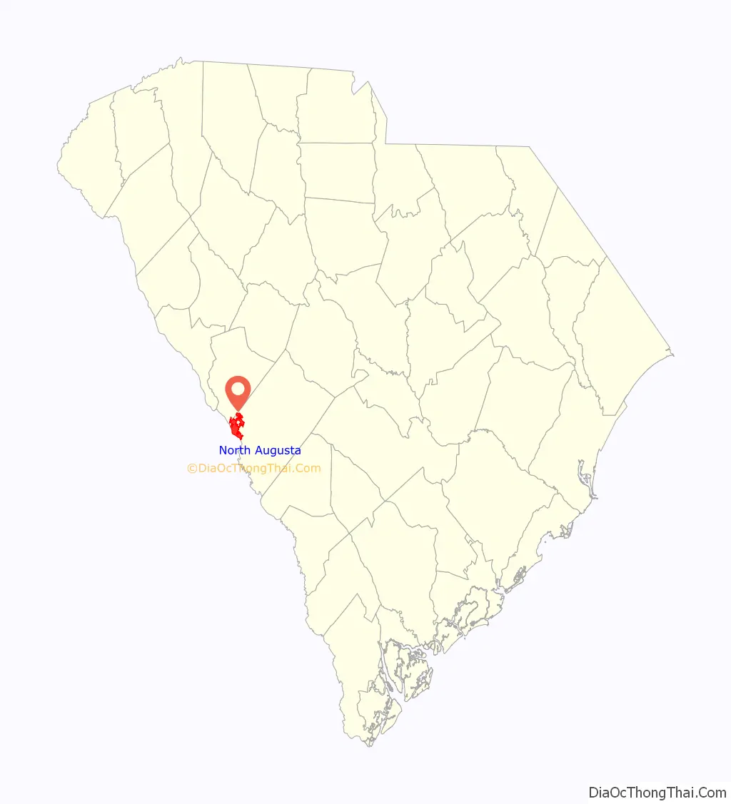
North Augusta is a city in Aiken and Edgefield counties in the U.S. state of South Carolina, on the north bank of the Savannah River. It lies directly across the river, and state border, from Augusta, Georgia. The population was 24,379 at the 2020 census. The city is included in the Central Savannah River Area (CSRA) and is part of the Augusta, Georgia, metropolitan area.
| Name: | North Augusta city |
|---|---|
| LSAD Code: | 25 |
| LSAD Description: | city (suffix) |
| State: | South Carolina |
| County: | Aiken County, Edgefield County |
| Elevation: | 387 ft (118 m) |
| Total Area: | 21.84 sq mi (56.57 km²) |
| Land Area: | 21.29 sq mi (55.14 km²) |
| Water Area: | 0.55 sq mi (1.43 km²) |
| Total Population: | 24,379 |
| Population Density: | 1,145.04/sq mi (442.11/km²) |
| ZIP code: | 29800-29899 |
| Area code: | 803, 839 |
| FIPS code: | 4550695 |
| GNISfeature ID: | 1231597 |
| Website: | www.northaugusta.net |
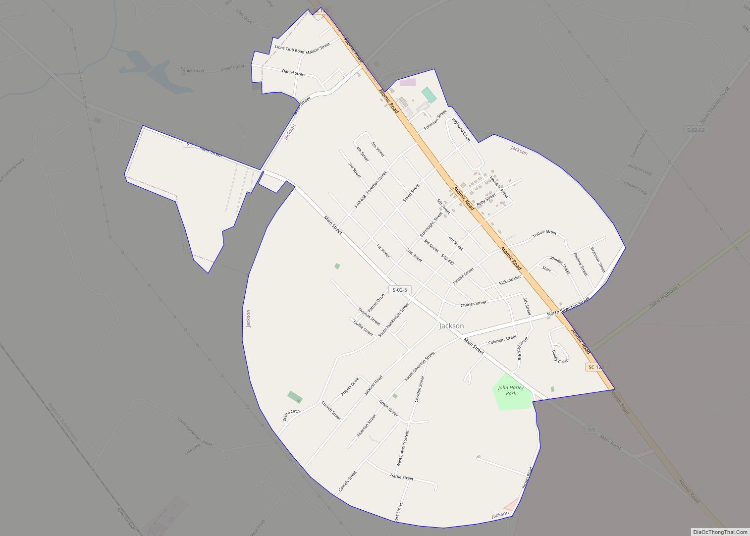
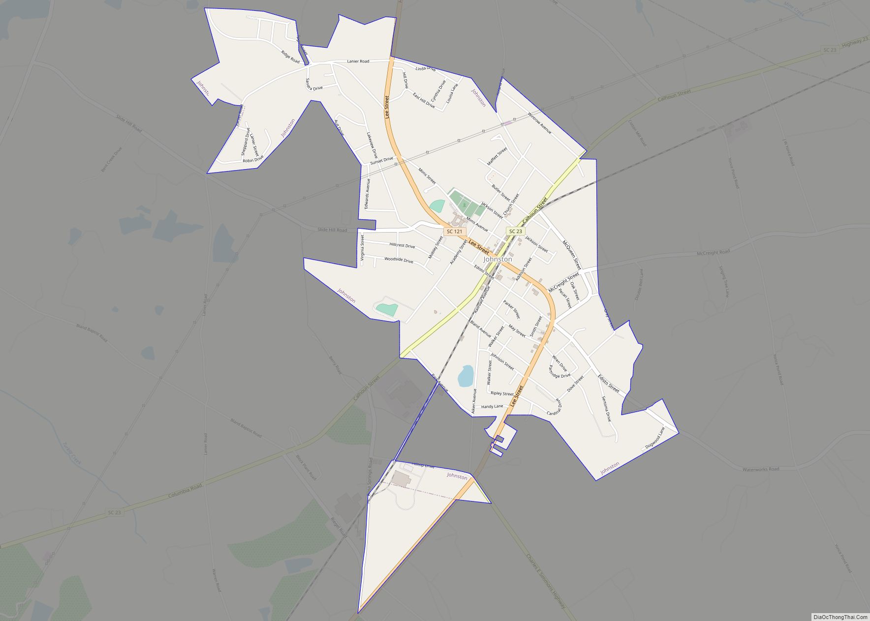
Online Interactive Map
Click on ![]() to view map in "full screen" mode.
to view map in "full screen" mode.
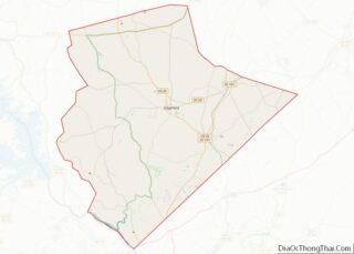
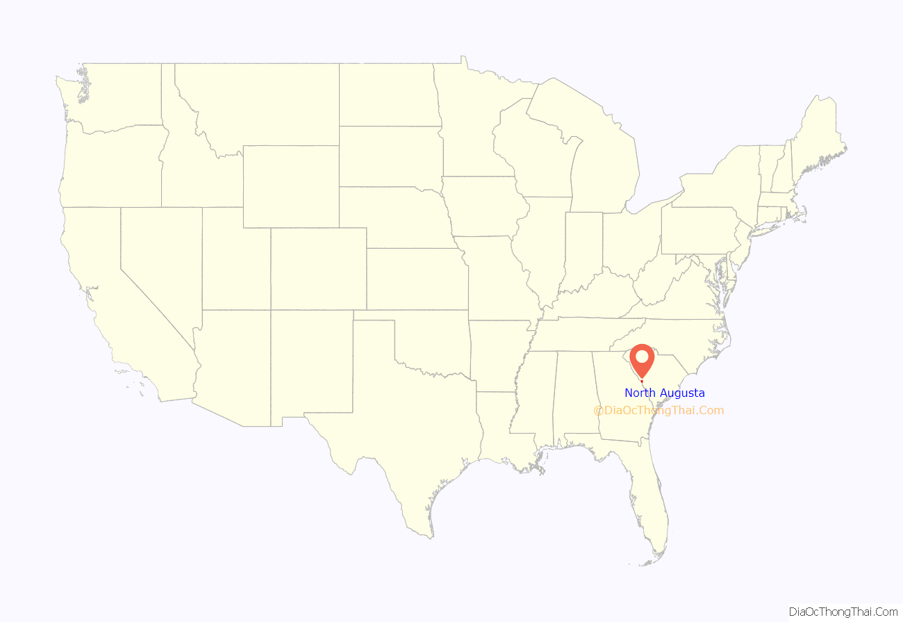
North Augusta location map. Where is North Augusta city?
History
The city was incorporated in 1906 and sprouted from the pre-Civil War city of Hamburg. The original land area was approximately 772 acres. James U. Jackson was the city’s primary visionary. He traveled to New York several times to receive financial support for the town and built the Thirteenth Street/ Georgia Avenue Bridge (James U. Jackson Memorial Bridge).
In the early 20th century North Augusta was a popular vacation spot for northerners. Its popularity stemmed from its railroad connections and climate. In the Mid 20th century after the atomic bomb and during the Cold War, the city’s population nearly quadrupled because the Savannah River Plant was constructed south of town. During this period the area of North Augusta increased from 772 acres to 5,139 acres.
The Georgia Avenue-Butler Avenue Historic District, Charles Hammond House, Lookaway Hall, Britton Mims Place, Rosemary Hall and B.C. Wall House are listed on the National Register of Historic Places.
North Augusta is also notable for nearby Murphy Village, a community of about 2,500 Irish Travelers that was featured on a 2012 episode of the TLC show, My Big Fat American Gypsy Wedding.
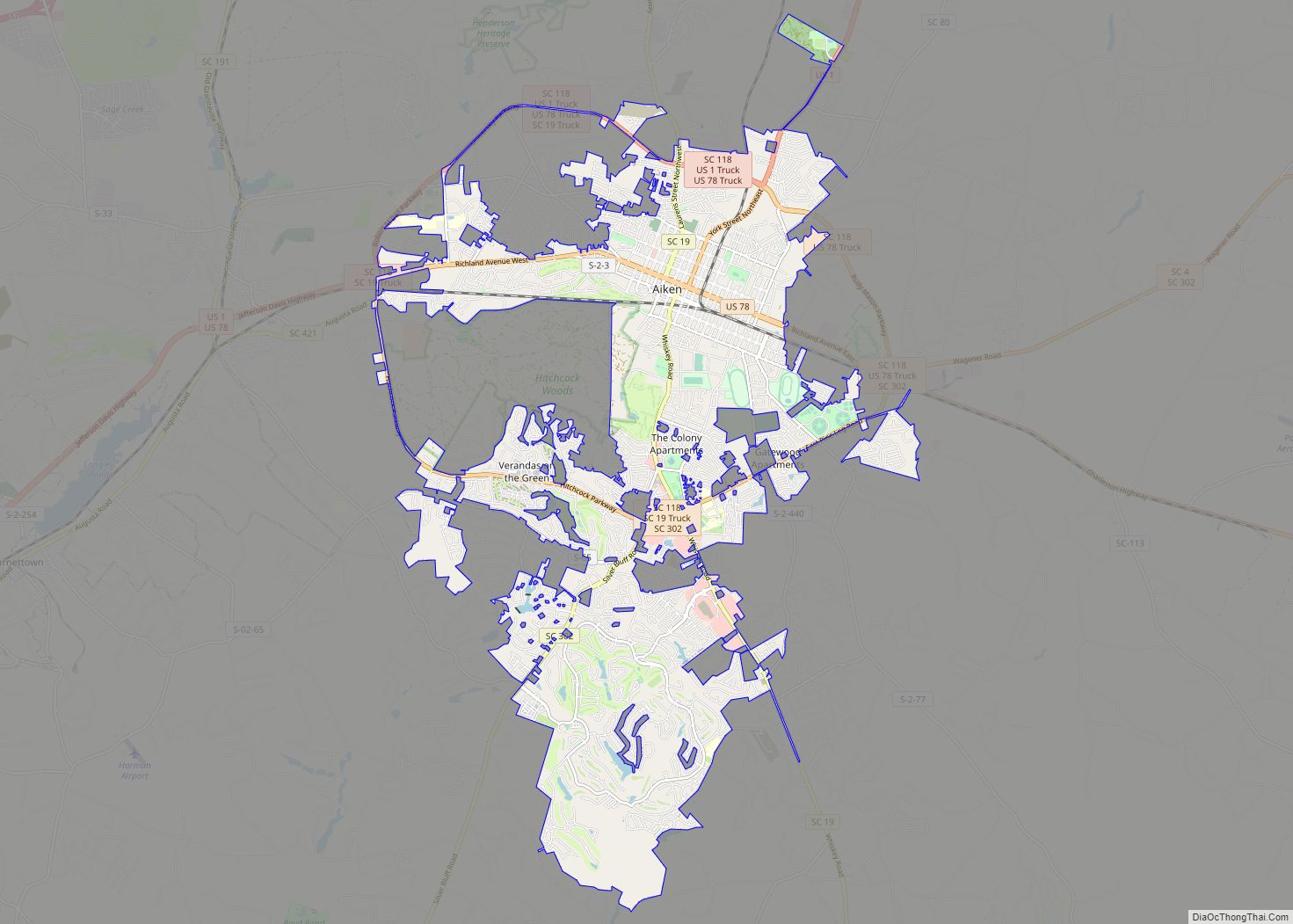
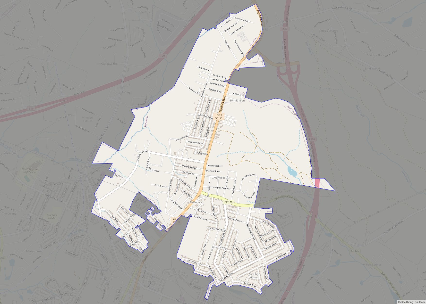
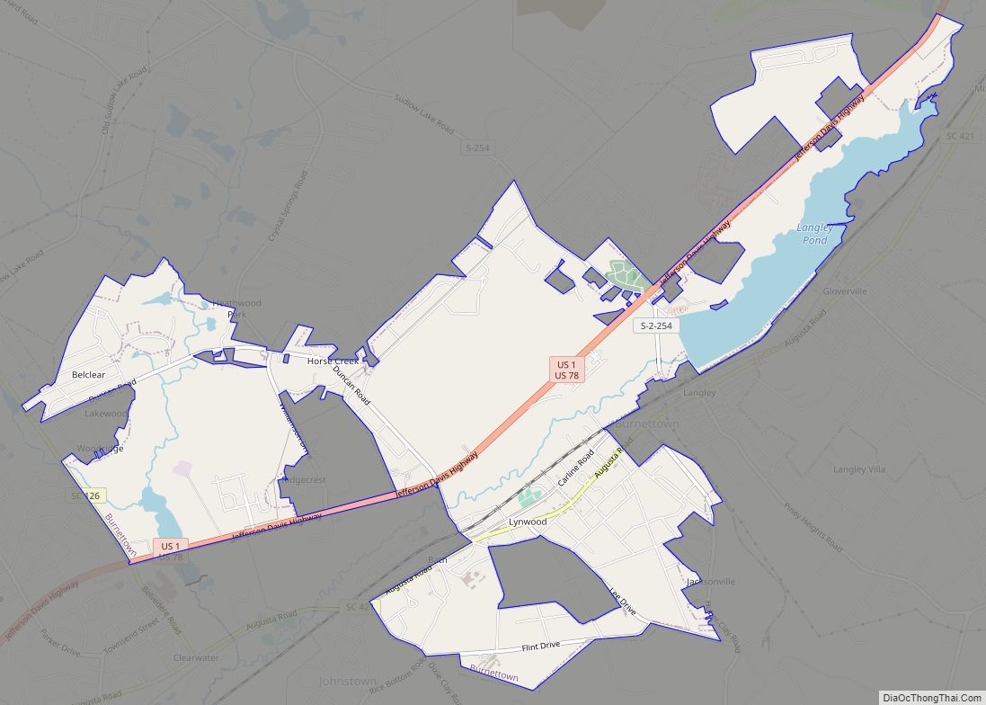
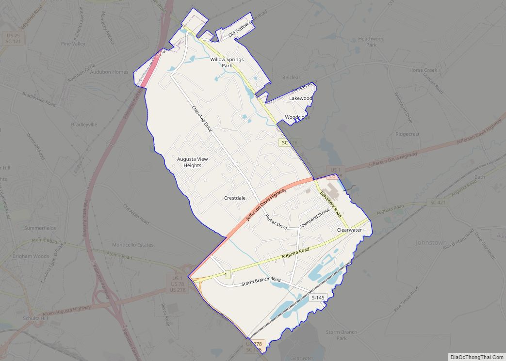
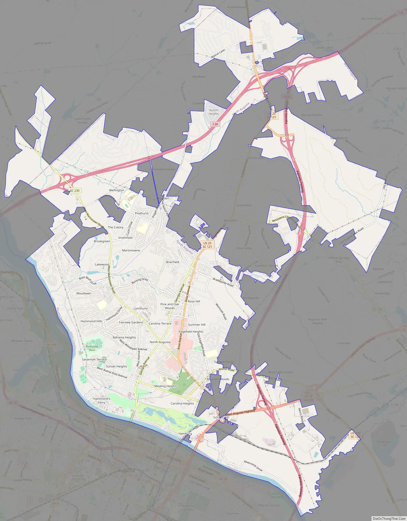
North Augusta Road Map
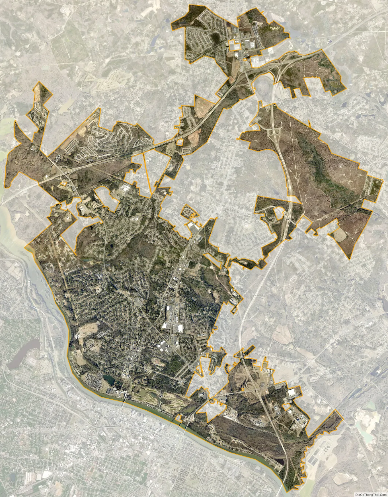
North Augusta city Satellite Map
Geography
North Augusta is located in western Aiken County at 33°30′47″N 81°57′46″W / 33.51306°N 81.96278°W / 33.51306; -81.96278 (33.512935, -81.962640). A small part of the city extends north into Edgefield County.
According to the United States Census Bureau, the city has a total area of 20.5 square miles (53.1 km), of which 20.0 square miles (51.9 km) is land and 0.46 square miles (1.2 km), or 2.25%, is water.
Highways
- I-20
- I-520
- US 1
- US 25
- US 25 Bus.
- US 25 Conn.
- US 78
- US 278
- SC 121
- SC 125
- SC 125 Conn.
- SC 125 Truck
- SC 126
- SC 230
See also
Map of South Carolina State and its subdivision:- Abbeville
- Aiken
- Allendale
- Anderson
- Bamberg
- Barnwell
- Beaufort
- Berkeley
- Calhoun
- Charleston
- Cherokee
- Chester
- Chesterfield
- Clarendon
- Colleton
- Darlington
- Dillon
- Dorchester
- Edgefield
- Fairfield
- Florence
- Georgetown
- Greenville
- Greenwood
- Hampton
- Horry
- Jasper
- Kershaw
- Lancaster
- Laurens
- Lee
- Lexington
- Marion
- Marlboro
- McCormick
- Newberry
- Oconee
- Orangeburg
- Pickens
- Richland
- Saluda
- Spartanburg
- Sumter
- Union
- Williamsburg
- York
- Alabama
- Alaska
- Arizona
- Arkansas
- California
- Colorado
- Connecticut
- Delaware
- District of Columbia
- Florida
- Georgia
- Hawaii
- Idaho
- Illinois
- Indiana
- Iowa
- Kansas
- Kentucky
- Louisiana
- Maine
- Maryland
- Massachusetts
- Michigan
- Minnesota
- Mississippi
- Missouri
- Montana
- Nebraska
- Nevada
- New Hampshire
- New Jersey
- New Mexico
- New York
- North Carolina
- North Dakota
- Ohio
- Oklahoma
- Oregon
- Pennsylvania
- Rhode Island
- South Carolina
- South Dakota
- Tennessee
- Texas
- Utah
- Vermont
- Virginia
- Washington
- West Virginia
- Wisconsin
- Wyoming