Olar is a town in Bamberg County, South Carolina, United States. The population was 257 at the 2010 census.
| Name: | Olar town |
|---|---|
| LSAD Code: | 43 |
| LSAD Description: | town (suffix) |
| State: | South Carolina |
| County: | Bamberg County |
| Elevation: | 203 ft (62 m) |
| Total Area: | 0.79 sq mi (2.03 km²) |
| Land Area: | 0.79 sq mi (2.03 km²) |
| Water Area: | 0.00 sq mi (0.00 km²) |
| Total Population: | 215 |
| Population Density: | 273.89/sq mi (105.70/km²) |
| ZIP code: | 29843 |
| Area code: | 803, 839 |
| FIPS code: | 4552585 |
| GNISfeature ID: | 1249948 |
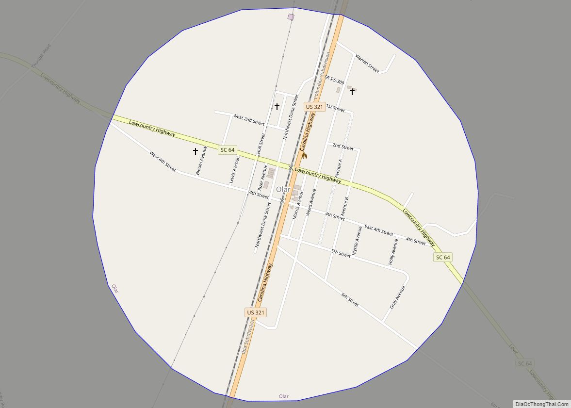
Online Interactive Map
Click on ![]() to view map in "full screen" mode.
to view map in "full screen" mode.
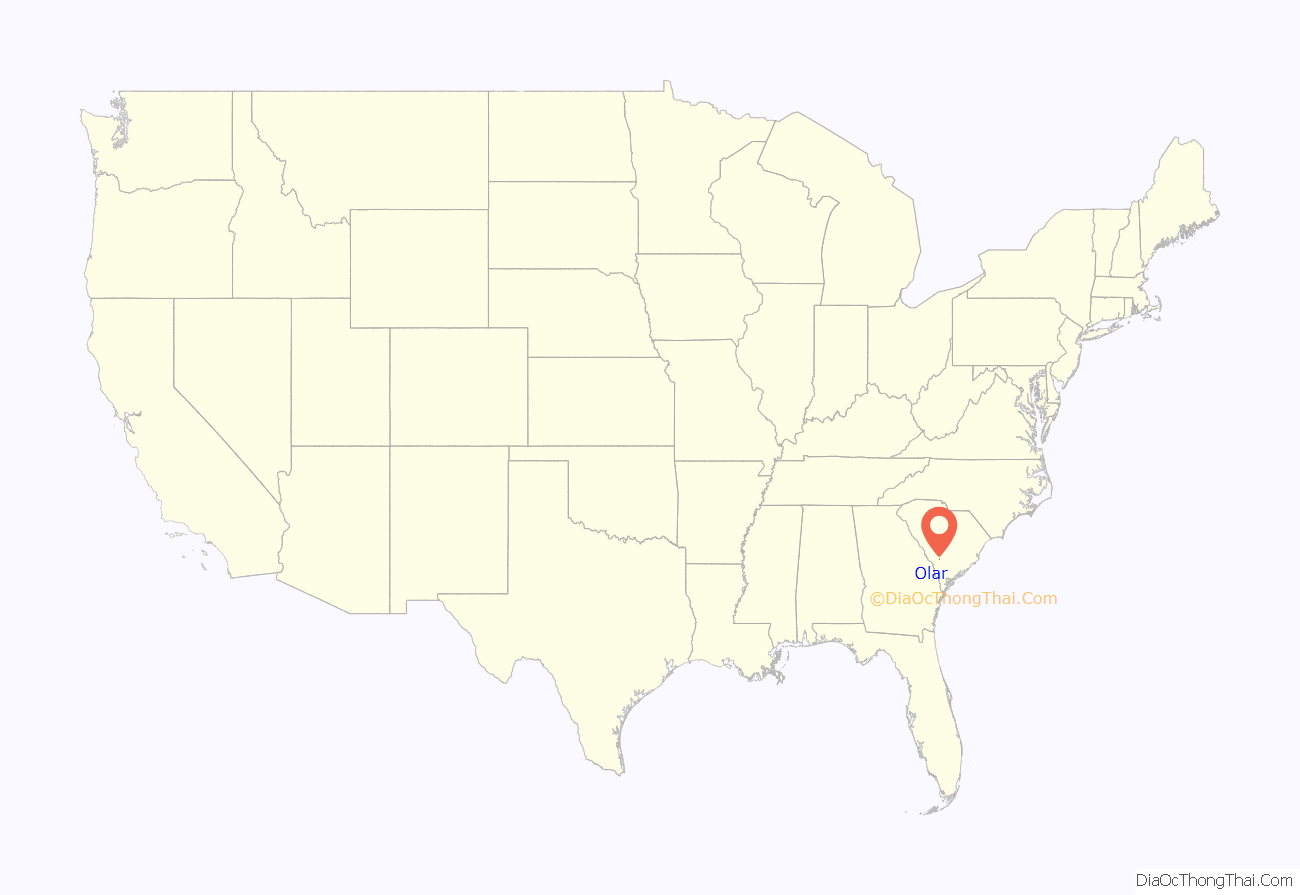
Olar location map. Where is Olar town?
History
The Mizpah Methodist Church was listed on the National Register of Historic Places in 2000.
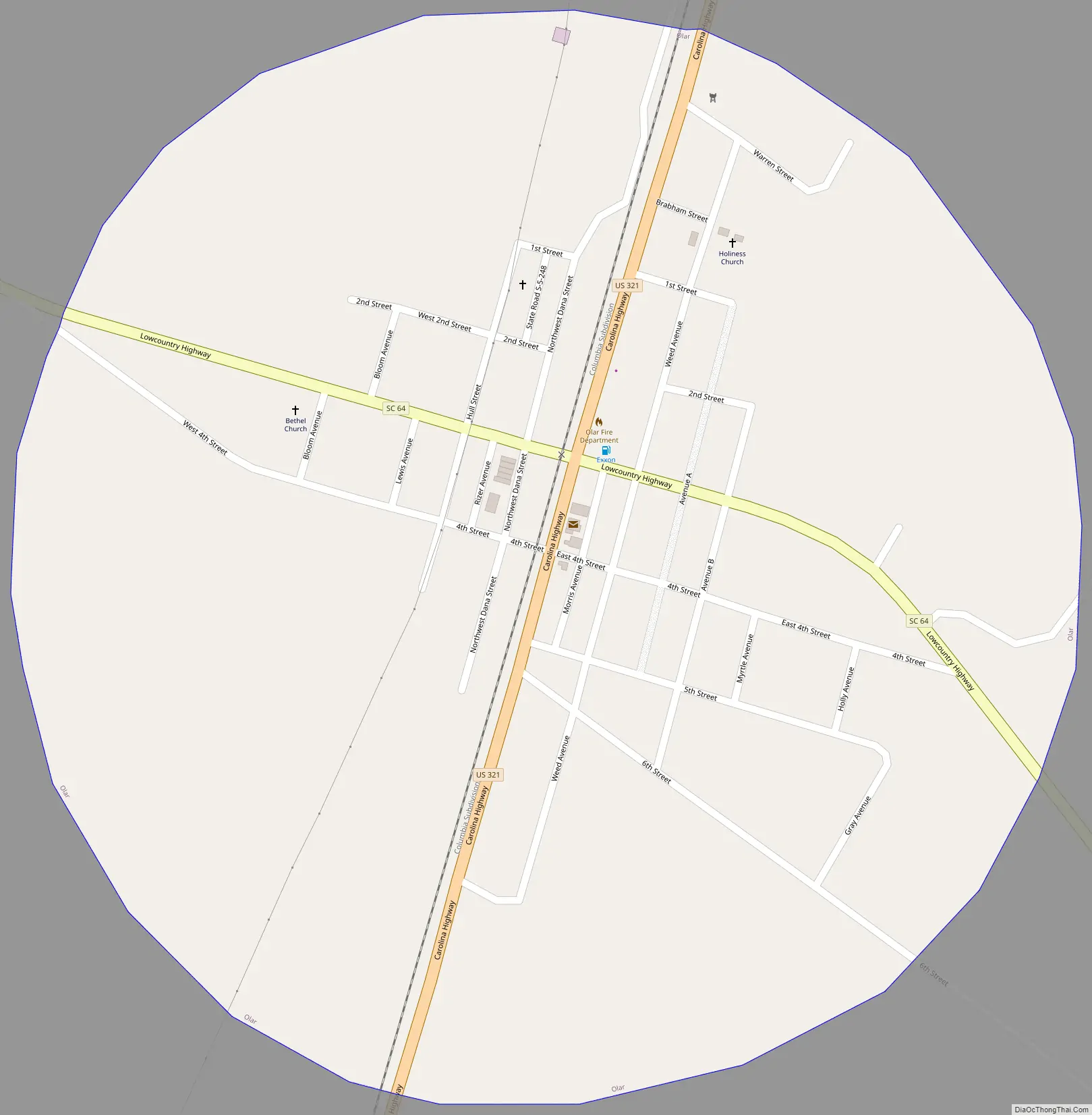
Olar Road Map
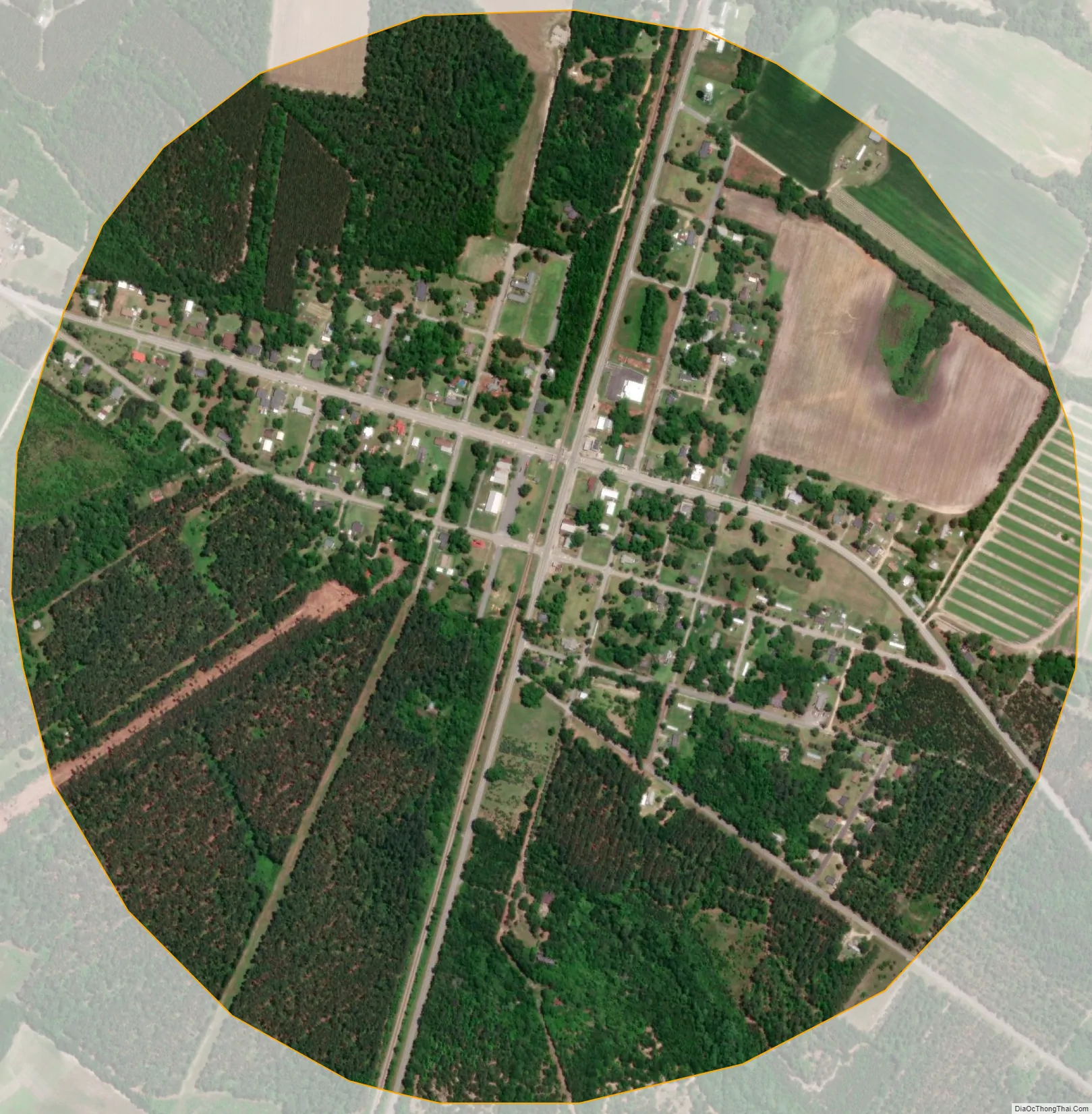
Olar city Satellite Map
Geography
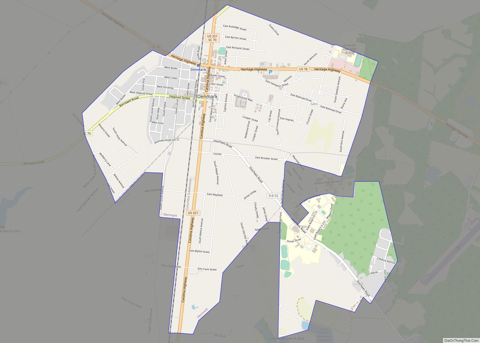
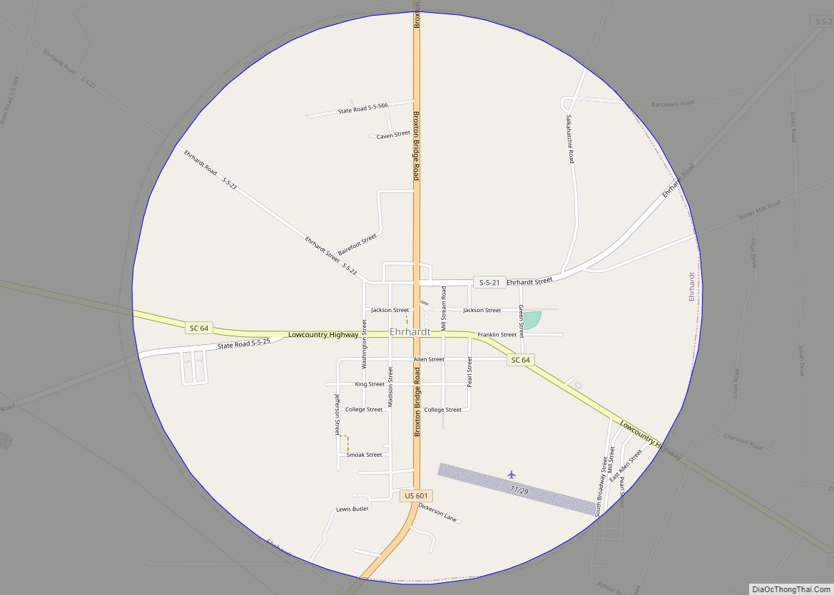
Olar is located in western Bamberg County at 33°10′49″N 81°11′3″W / 33.18028°N 81.18417°W / 33.18028; -81.18417 (33.180266, -81.184248). U.S. Route 321 passes through the town, leading north 10 miles (16 km) to Denmark and south 16 miles (26 km) to Fairfax. South Carolina Highway 64 crosses US 321 in the center of town, leading southeast 12 miles (19 km) to Ehrhardt and northwest 12 miles (19 km) to Barnwell.
According to the United States Census Bureau, Olar has a total area of 0.77 square miles (2.0 km), all of it land.
See also
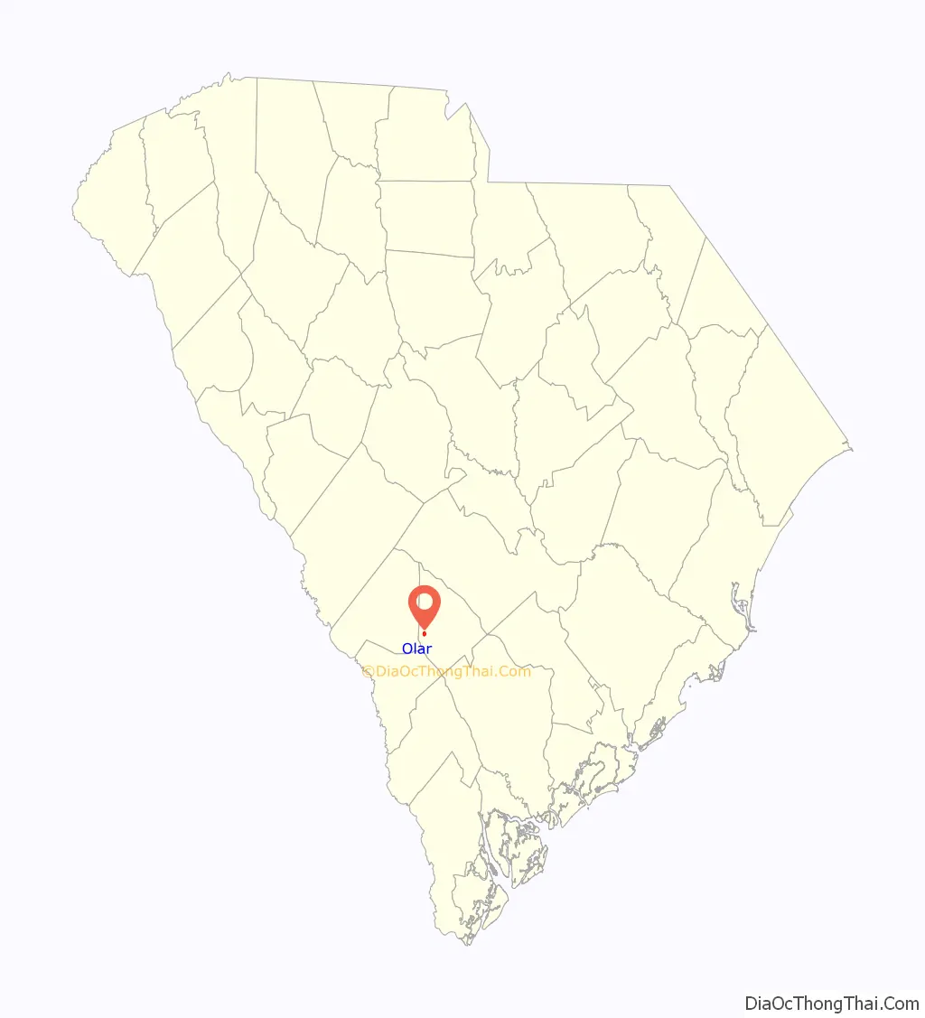
Map of South Carolina State and its subdivision:- Abbeville
- Aiken
- Allendale
- Anderson
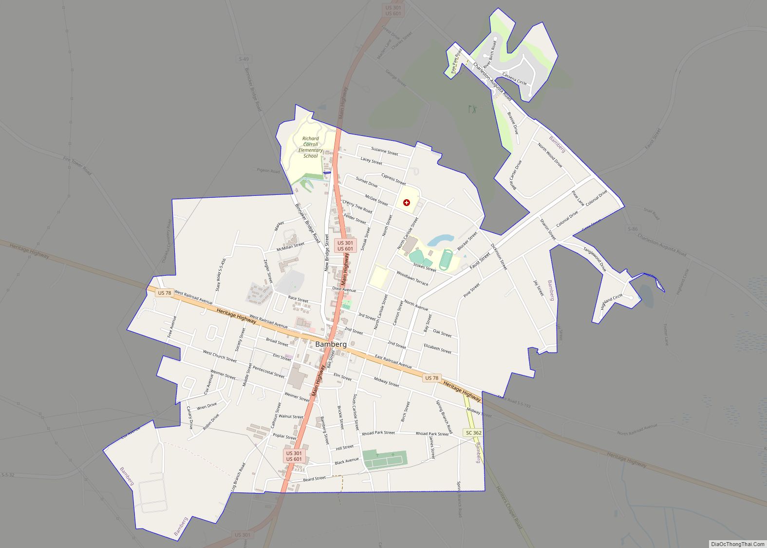
- Bamberg
- Barnwell
- Beaufort
- Berkeley
- Calhoun
- Charleston
- Cherokee
- Chester
- Chesterfield
- Clarendon
- Colleton
- Darlington
- Dillon
- Dorchester
- Edgefield
- Fairfield
- Florence
- Georgetown
- Greenville
- Greenwood
- Hampton
- Horry
- Jasper
- Kershaw
- Lancaster
- Laurens
- Lee
- Lexington
- Marion
- Marlboro
- McCormick
- Newberry
- Oconee
- Orangeburg
- Pickens
- Richland
- Saluda
- Spartanburg
- Sumter
- Union
- Williamsburg
- York
- Alabama
- Alaska
- Arizona
- Arkansas
- California
- Colorado
- Connecticut
- Delaware
- District of Columbia
- Florida
- Georgia
- Hawaii
- Idaho
- Illinois
- Indiana
- Iowa
- Kansas
- Kentucky
- Louisiana
- Maine
- Maryland
- Massachusetts
- Michigan
- Minnesota
- Mississippi
- Missouri
- Montana
- Nebraska
- Nevada
- New Hampshire
- New Jersey
- New Mexico
- New York
- North Carolina
- North Dakota
- Ohio
- Oklahoma
- Oregon
- Pennsylvania
- Rhode Island
- South Carolina
- South Dakota
- Tennessee
- Texas
- Utah
- Vermont
- Virginia
- Washington
- West Virginia
- Wisconsin
- Wyoming