Patrick is a town in Chesterfield County, South Carolina, United States. The population was 351 at the 2010 census.
| Name: | Patrick town |
|---|---|
| LSAD Code: | 43 |
| LSAD Description: | town (suffix) |
| State: | South Carolina |
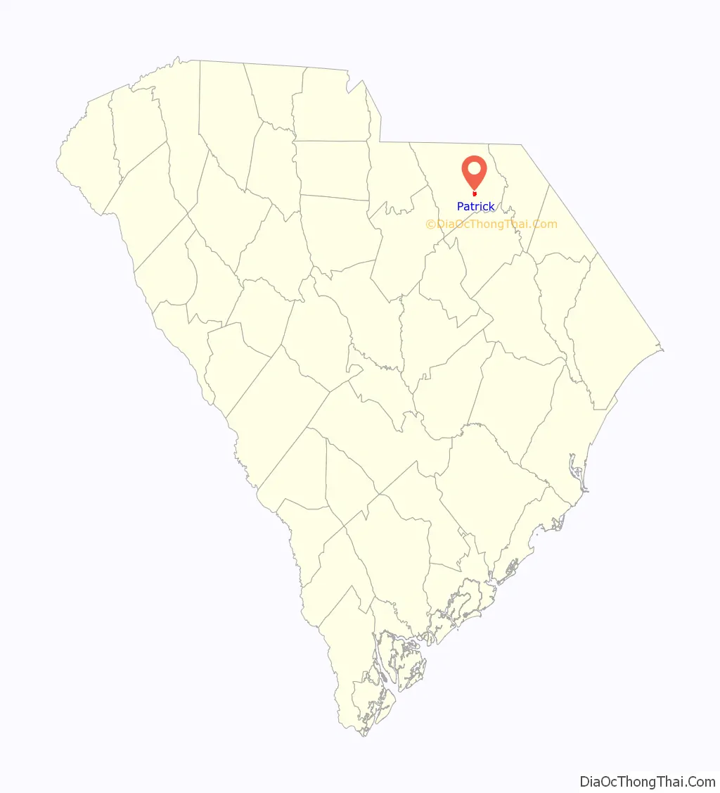
| County: | Chesterfield County |
| Elevation: | 220 ft (67 m) |
| Total Area: | 0.96 sq mi (2.48 km²) |
| Land Area: | 0.96 sq mi (2.48 km²) |
| Water Area: | 0.00 sq mi (0.00 km²) |
| Total Population: | 266 |
| Population Density: | 277.37/sq mi (107.07/km²) |
| ZIP code: | 29584 |
| Area code: | 843, 854 |
| FIPS code: | 4554925 |
| GNISfeature ID: | 1250033 |
| Website: | www.townofpatrick.com |
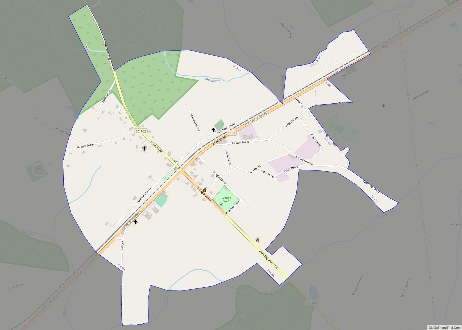
Online Interactive Map
Click on ![]() to view map in "full screen" mode.
to view map in "full screen" mode.
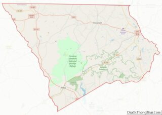
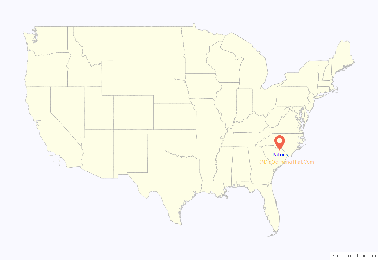
Patrick location map. Where is Patrick town?
History
The Seaboard Air Line Railway Depot was listed on the National Register of Historic Places in 1999.
Patrick Road Map
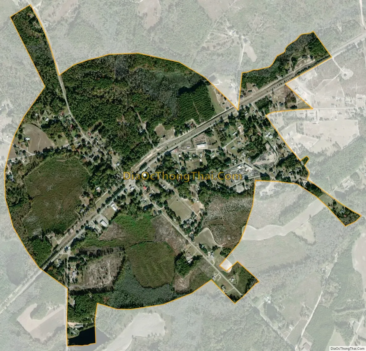
Patrick city Satellite Map
Geography
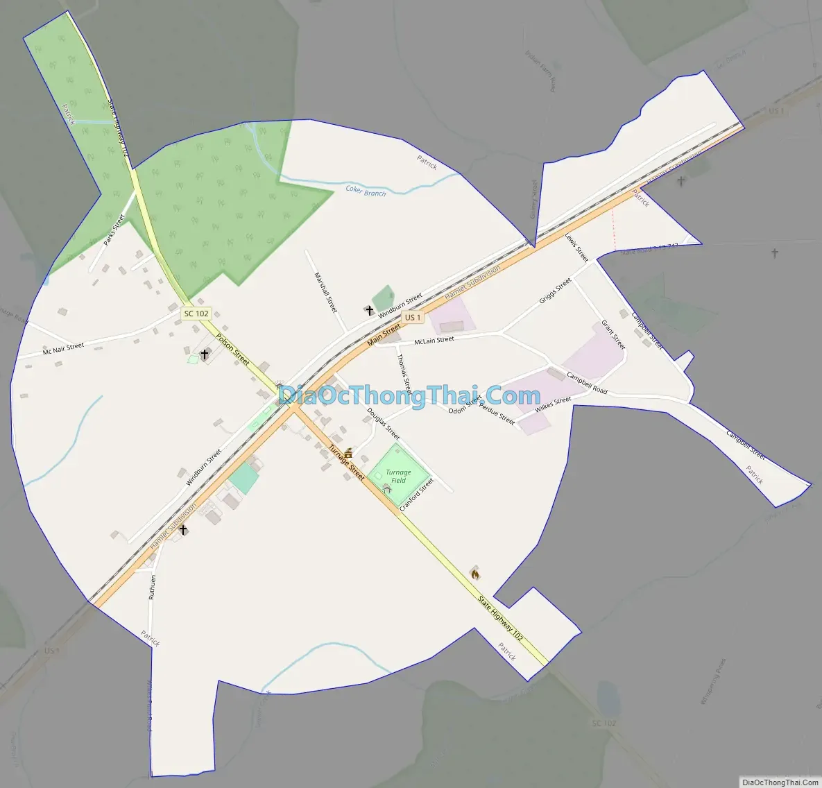
Patrick is located in southeastern Chesterfield County at 34°34′32″N 80°2′35″W / 34.57556°N 80.04306°W / 34.57556; -80.04306 (34.575450, -80.042944), in the Sandhills region of the Carolinas.
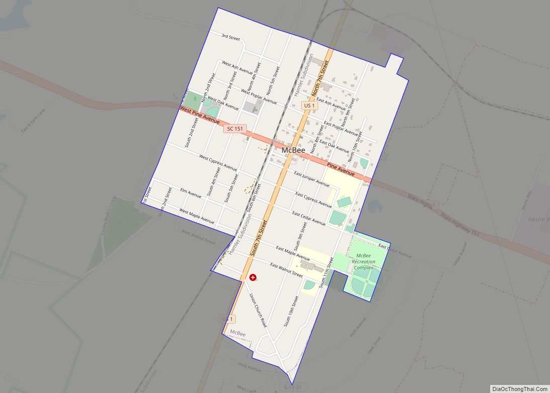
U.S. Route 1 passes through the town, leading northeast 13 miles (21 km) to Cheraw and southwest 15 miles (24 km) to McBee. South Carolina Highway 102 crosses US 1 in the center of town, leading north 12 miles (19 km) to Chesterfield and south 15 miles (24 km) to Hartsville.
According to the United States Census Bureau, Patrick has a total area of 0.97 square miles (2.5 km), all land.
See also
Map of South Carolina State and its subdivision:- Abbeville
- Aiken
- Allendale
- Anderson
- Bamberg
- Barnwell
- Beaufort
- Berkeley
- Calhoun
- Charleston
- Cherokee
- Chester
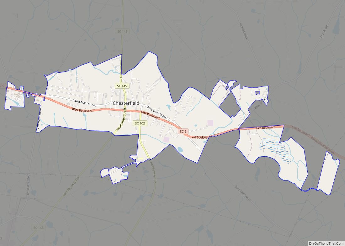
- Chesterfield
- Clarendon
- Colleton
- Darlington
- Dillon
- Dorchester
- Edgefield
- Fairfield
- Florence
- Georgetown
- Greenville
- Greenwood
- Hampton
- Horry
- Jasper
- Kershaw
- Lancaster
- Laurens
- Lee
- Lexington
- Marion
- Marlboro
- McCormick
- Newberry
- Oconee
- Orangeburg
- Pickens
- Richland
- Saluda
- Spartanburg
- Sumter
- Union
- Williamsburg
- York
- Alabama
- Alaska
- Arizona
- Arkansas
- California
- Colorado
- Connecticut
- Delaware
- District of Columbia
- Florida
- Georgia
- Hawaii
- Idaho
- Illinois
- Indiana
- Iowa
- Kansas
- Kentucky
- Louisiana
- Maine
- Maryland
- Massachusetts
- Michigan
- Minnesota
- Mississippi
- Missouri
- Montana
- Nebraska
- Nevada
- New Hampshire
- New Jersey
- New Mexico
- New York
- North Carolina
- North Dakota
- Ohio
- Oklahoma
- Oregon
- Pennsylvania
- Rhode Island
- South Carolina
- South Dakota
- Tennessee
- Texas
- Utah
- Vermont
- Virginia
- Washington
- West Virginia
- Wisconsin
- Wyoming