Peak is a town in Newberry County, South Carolina, United States. The population was 64 at the 2010 census.
| Name: | Peak town |
|---|---|
| LSAD Code: | 43 |
| LSAD Description: | town (suffix) |
| State: | South Carolina |
| County: | Newberry County |
| Elevation: | 292 ft (89 m) |
| Total Area: | 0.34 sq mi (0.89 km²) |
| Land Area: | 0.34 sq mi (0.89 km²) |
| Water Area: | 0.00 sq mi (0.00 km²) |
| Total Population: | 51 |
| Population Density: | 148.26/sq mi (57.27/km²) |
| ZIP code: | 29122 |
| Area code: | 803, 839 |
| FIPS code: | 4555150 |
| GNISfeature ID: | 1250043 |
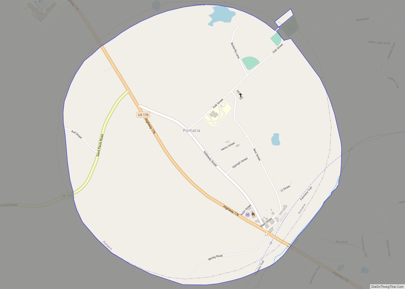
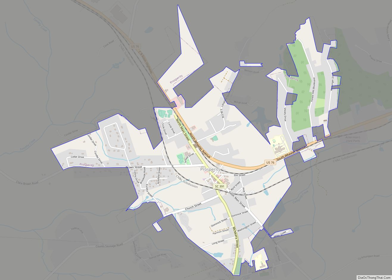
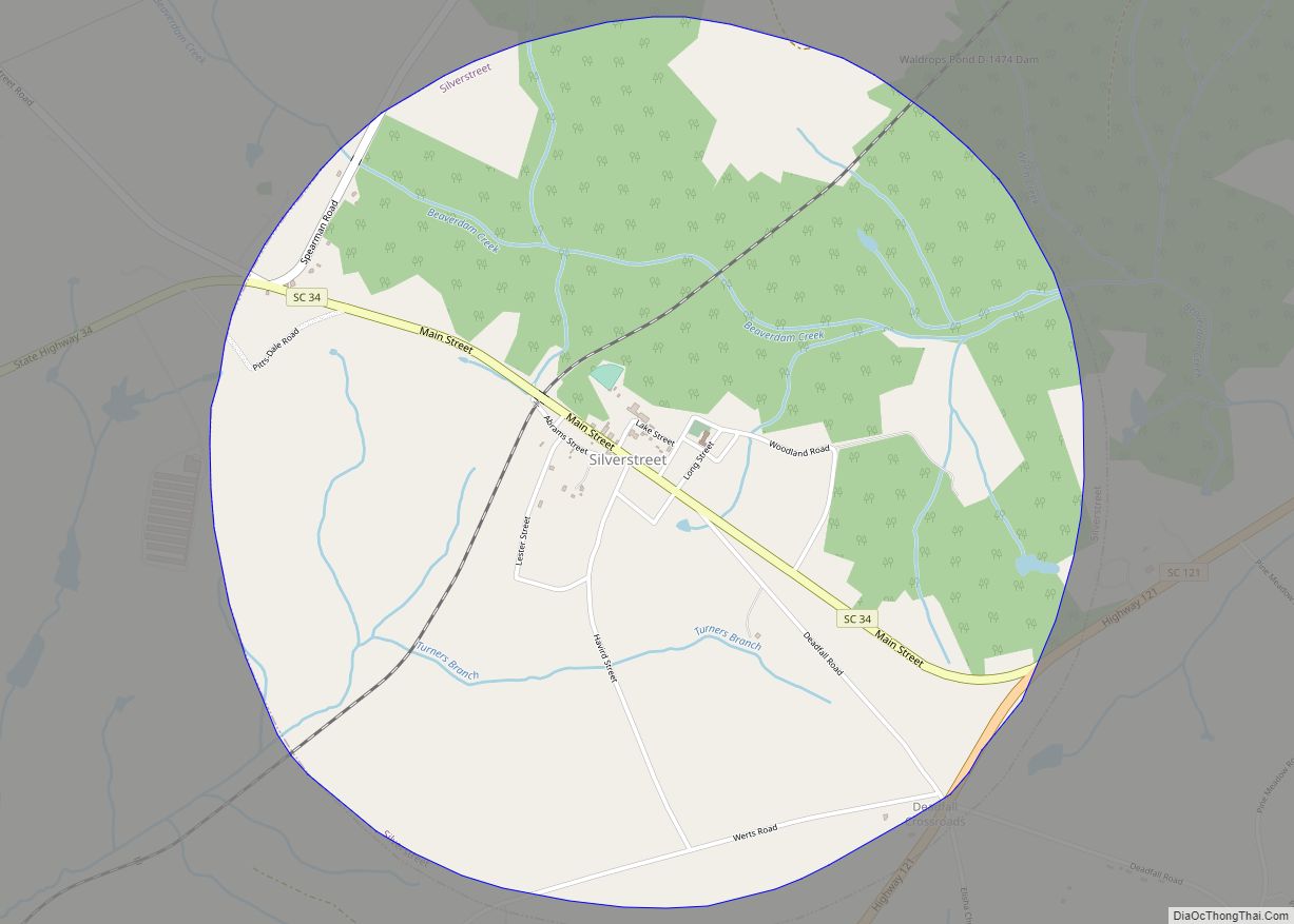
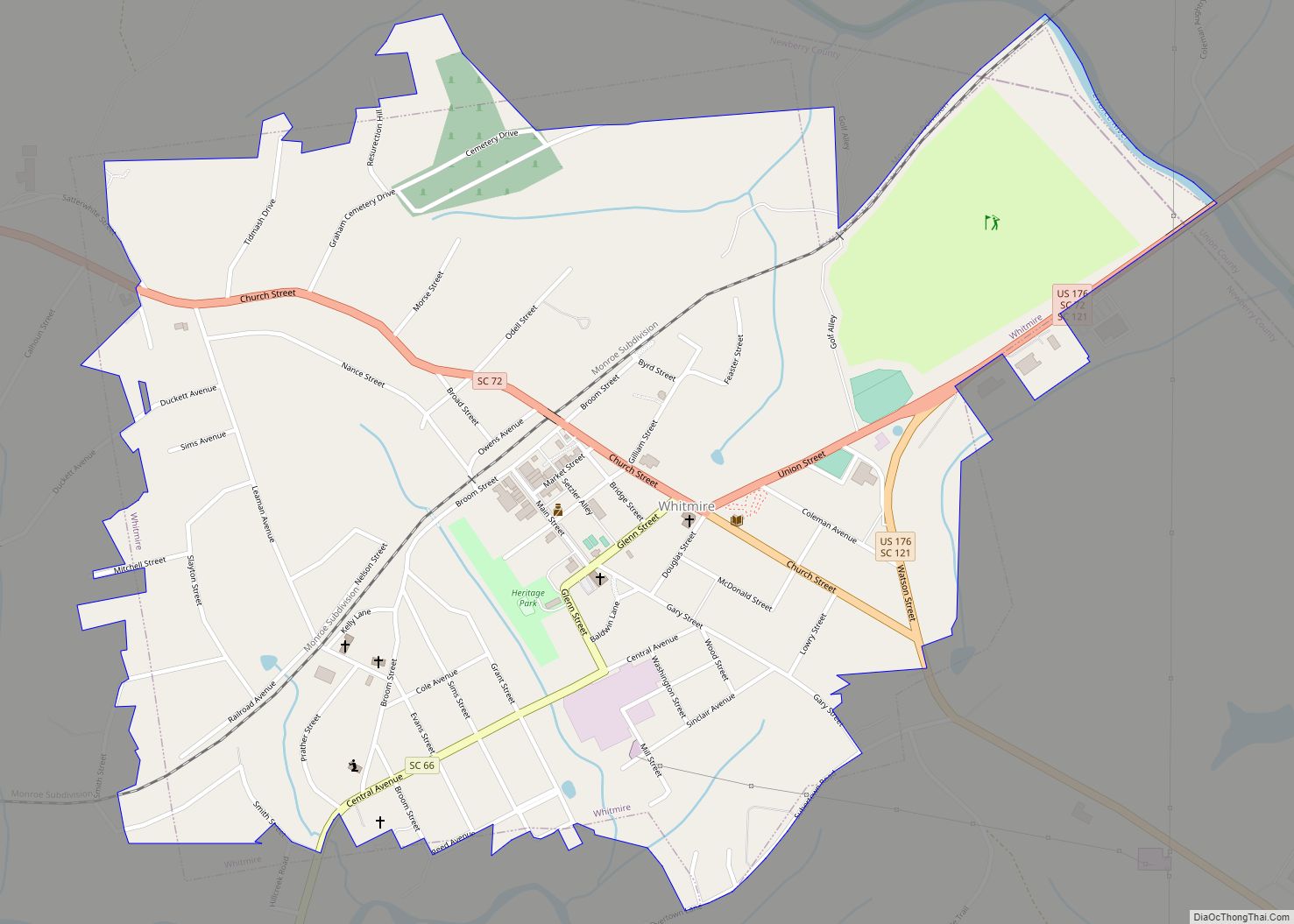
Online Interactive Map
Click on ![]() to view map in "full screen" mode.
to view map in "full screen" mode.
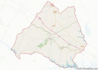
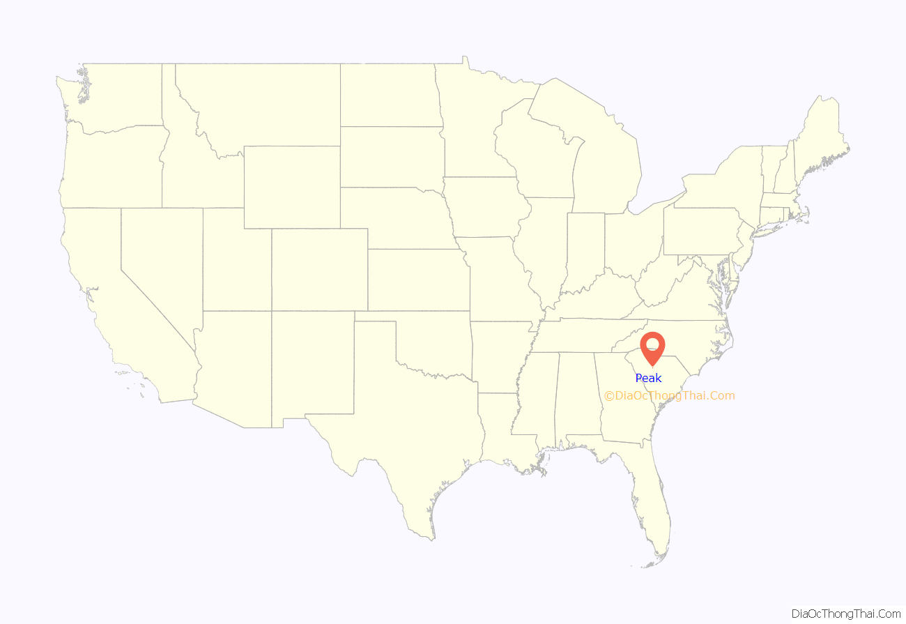
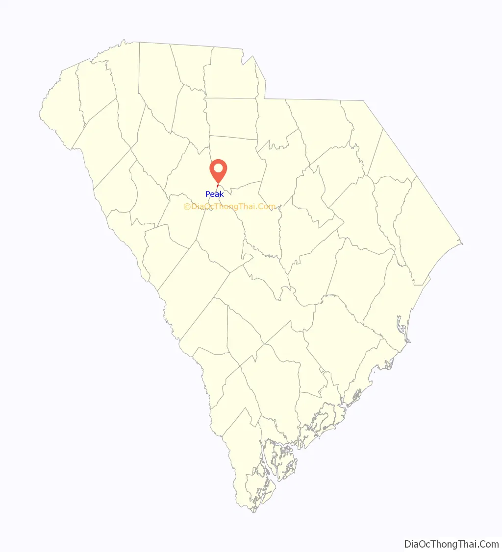
Peak location map. Where is Peak town?
History
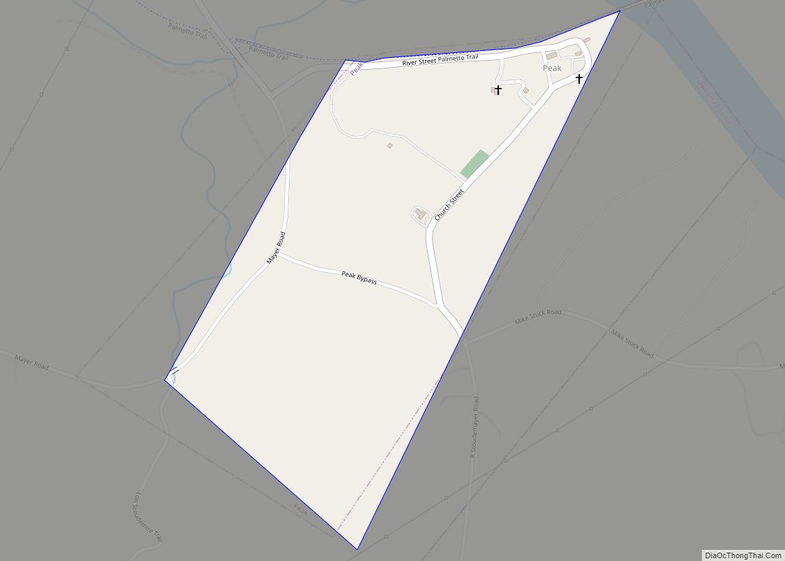
Peak was established in the early 1850s to house workers building the Greenville and Columbia Railroad. It was named for railroad superintendent, H.T. Peak. The town incorporated in 1880.
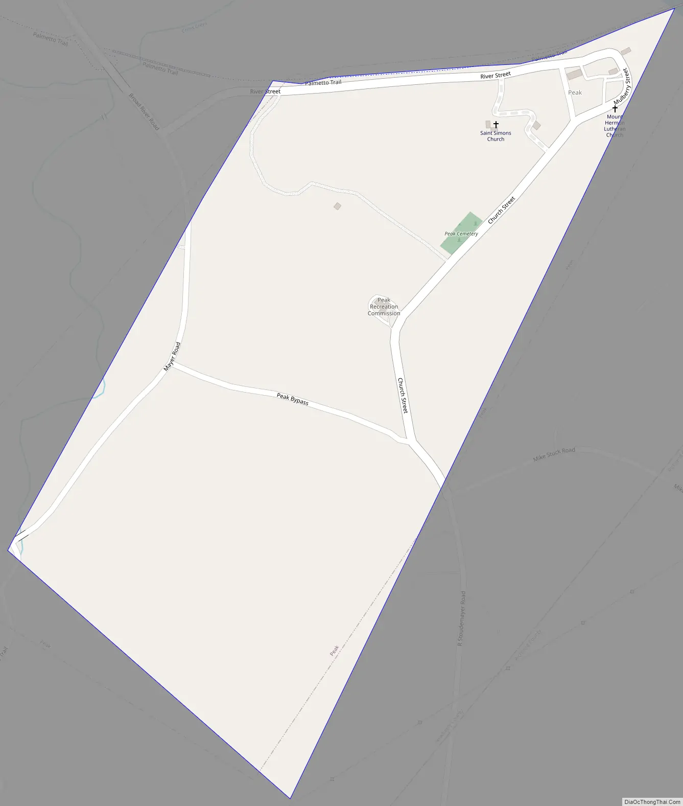
Peak Road Map
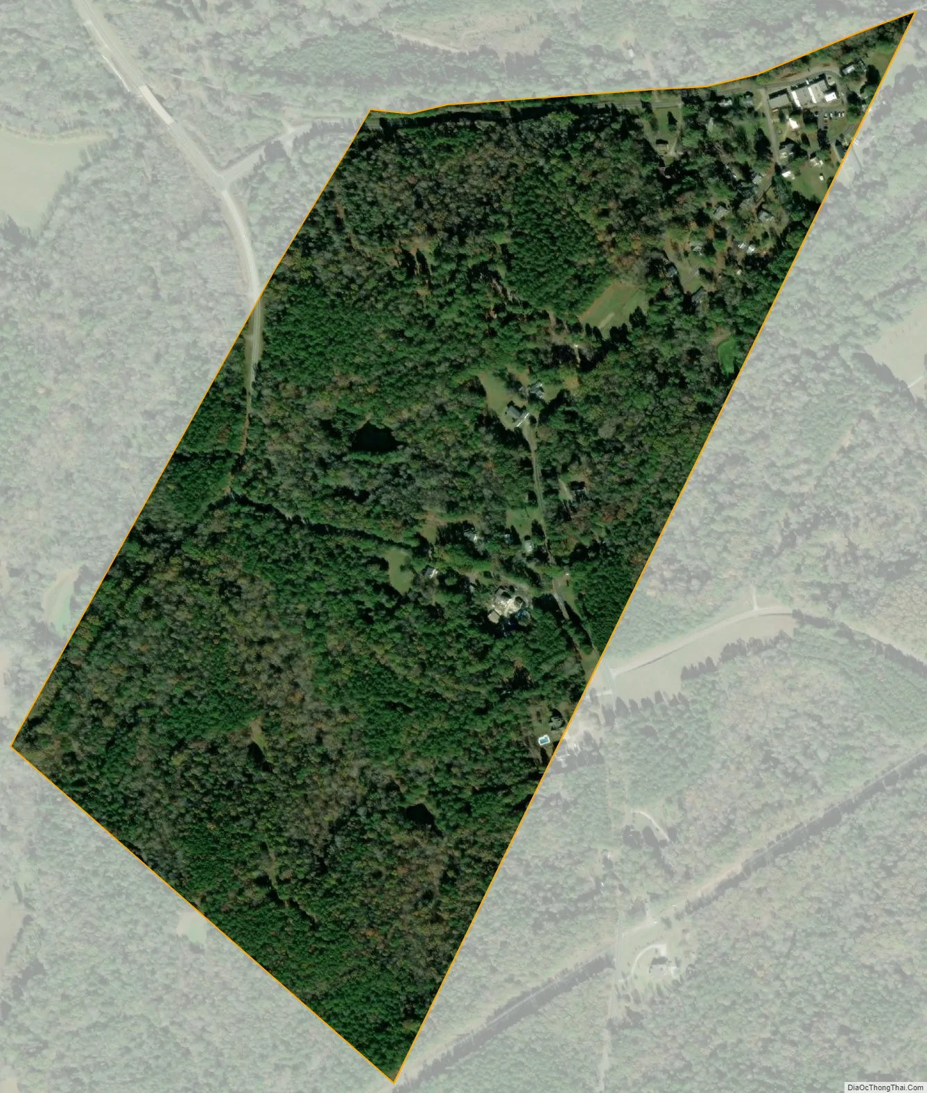
Peak city Satellite Map
Geography
Peak is located at 34°14′14″N 81°19′33″W / 34.23722°N 81.32583°W / 34.23722; -81.32583 (34.237174, -81.325737). It is located along the Broad River, with Parr Reservoir and Monticello Reservoir nearby. South Carolina Highway 213 passes just north of the town, and U.S. Route 176 passes just to the west.
According to the United States Census Bureau, the town has a total area of 0.3 square mile (0.7 km), all land.
See also
Map of South Carolina State and its subdivision:- Abbeville
- Aiken
- Allendale
- Anderson
- Bamberg
- Barnwell
- Beaufort
- Berkeley
- Calhoun
- Charleston
- Cherokee
- Chester
- Chesterfield
- Clarendon
- Colleton
- Darlington
- Dillon
- Dorchester
- Edgefield
- Fairfield
- Florence
- Georgetown
- Greenville
- Greenwood
- Hampton
- Horry
- Jasper
- Kershaw
- Lancaster
- Laurens
- Lee
- Lexington
- Marion
- Marlboro
- McCormick
- Newberry
- Oconee
- Orangeburg
- Pickens
- Richland
- Saluda
- Spartanburg
- Sumter
- Union
- Williamsburg
- York
- Alabama
- Alaska
- Arizona
- Arkansas
- California
- Colorado
- Connecticut
- Delaware
- District of Columbia
- Florida
- Georgia
- Hawaii
- Idaho
- Illinois
- Indiana
- Iowa
- Kansas
- Kentucky
- Louisiana
- Maine
- Maryland
- Massachusetts
- Michigan
- Minnesota
- Mississippi
- Missouri
- Montana
- Nebraska
- Nevada
- New Hampshire
- New Jersey
- New Mexico
- New York
- North Carolina
- North Dakota
- Ohio
- Oklahoma
- Oregon
- Pennsylvania
- Rhode Island
- South Carolina
- South Dakota
- Tennessee
- Texas
- Utah
- Vermont
- Virginia
- Washington
- West Virginia
- Wisconsin
- Wyoming