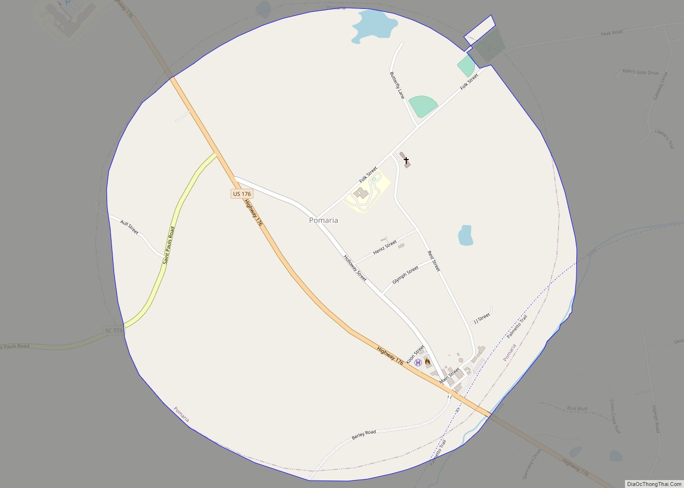
Pomaria is a town in Newberry County, South Carolina, United States. The population was 179 at the 2010 census.
| Name: | Pomaria town |
|---|---|
| LSAD Code: | 43 |
| LSAD Description: | town (suffix) |
| State: | South Carolina |
| County: | Newberry County |
| Elevation: | 404 ft (123 m) |
| Total Area: | 1.05 sq mi (2.73 km²) |
| Land Area: | 1.05 sq mi (2.71 km²) |
| Water Area: | 0.01 sq mi (0.02 km²) |
| Total Population: | 127 |
| Population Density: | 121.41/sq mi (46.86/km²) |
| ZIP code: | 29126 |
| Area code: | 803 and 839 |
| FIPS code: | 4557850 |
| GNISfeature ID: | 1250208 |
| Website: | https://www.townofpomariasc.com/ |
Online Interactive Map
Click on ![]() to view map in "full screen" mode.
to view map in "full screen" mode.
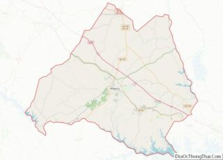
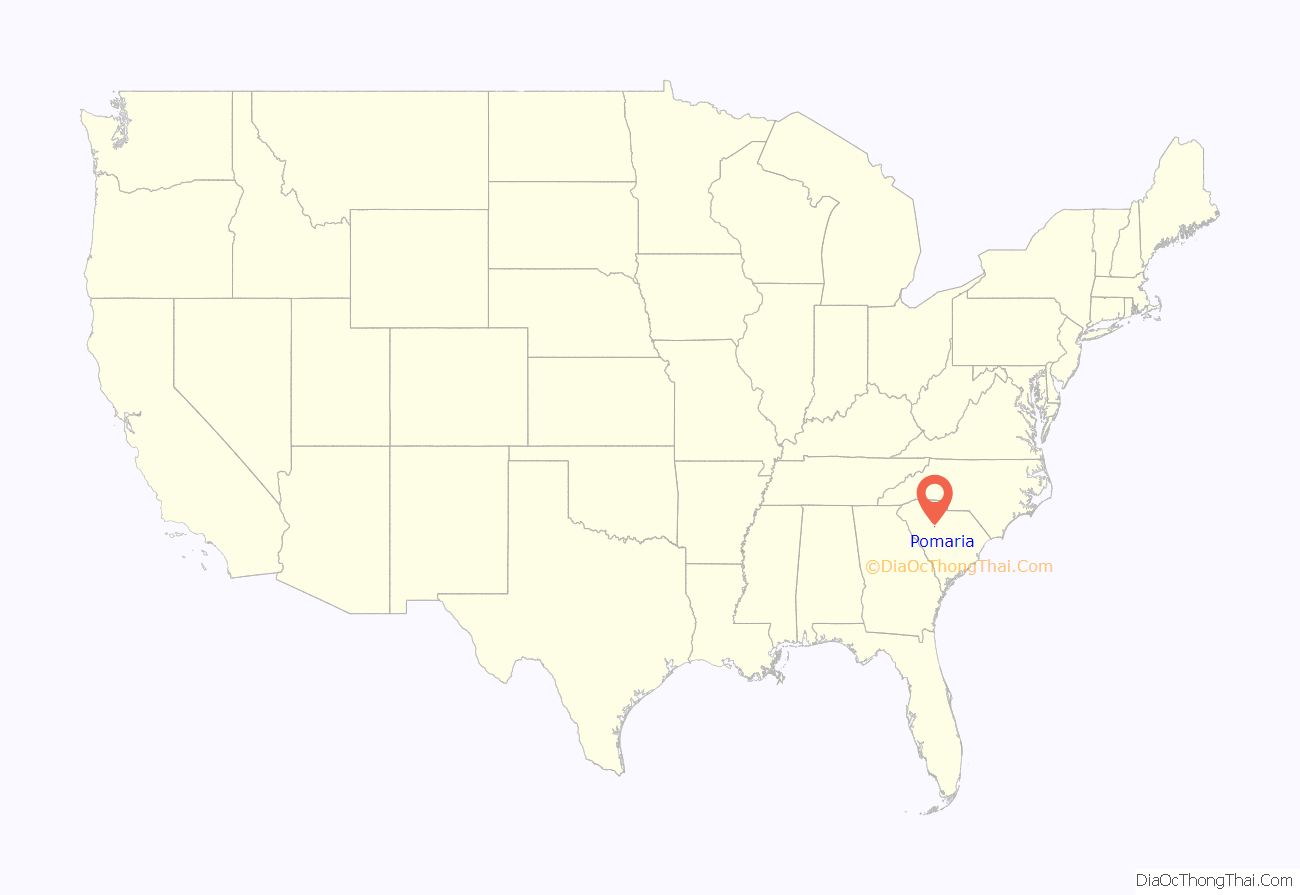
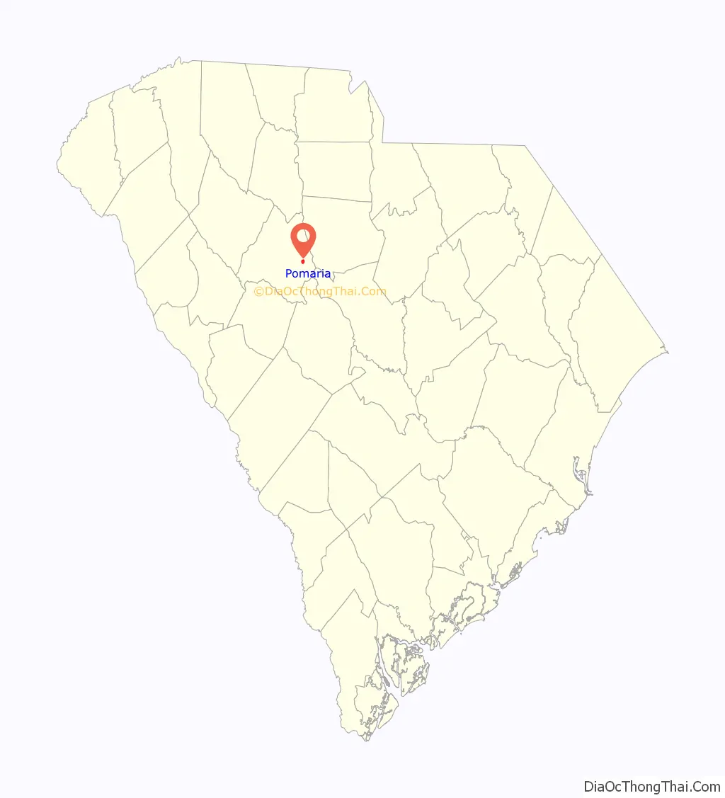
Pomaria location map. Where is Pomaria town?
History
Pomaria was first settled in the mid 18th century by German, Swiss, and Dutch immigrants escaping the poverty and harsh conditions resulting from the Thirty Years’ War. Many of these immigrants brought with them the beliefs and ideals of their Lutheran Religion.
The first meeting of the South Carolina Lutheran Synod was in the house of John Eichelberger, who lived in Pomaria. Some of the later presidents of The Synod lived in or preached in and around Pomaria.
Pomaria was later affected by the establishment of the Hope School. The Hope School was a Rosenwald School to help rural African-Americans attend school. The land was donated by the family of James Haskell Hope, who later became the longest serving Superintendent of Education of South Carolina.
In addition to Hope School, the Folk-Holloway House, Hatton House, Pomaria (Summer-Huggins House), and St. John’s Lutheran Church are listed on the National Register of Historic Places.
Pomaria was the birthplace and boyhood home of Thermon Ruth, founder of the legendary Selah Jubilee Singers and promoter of gospel music at the Apollo Theater in Harlem.
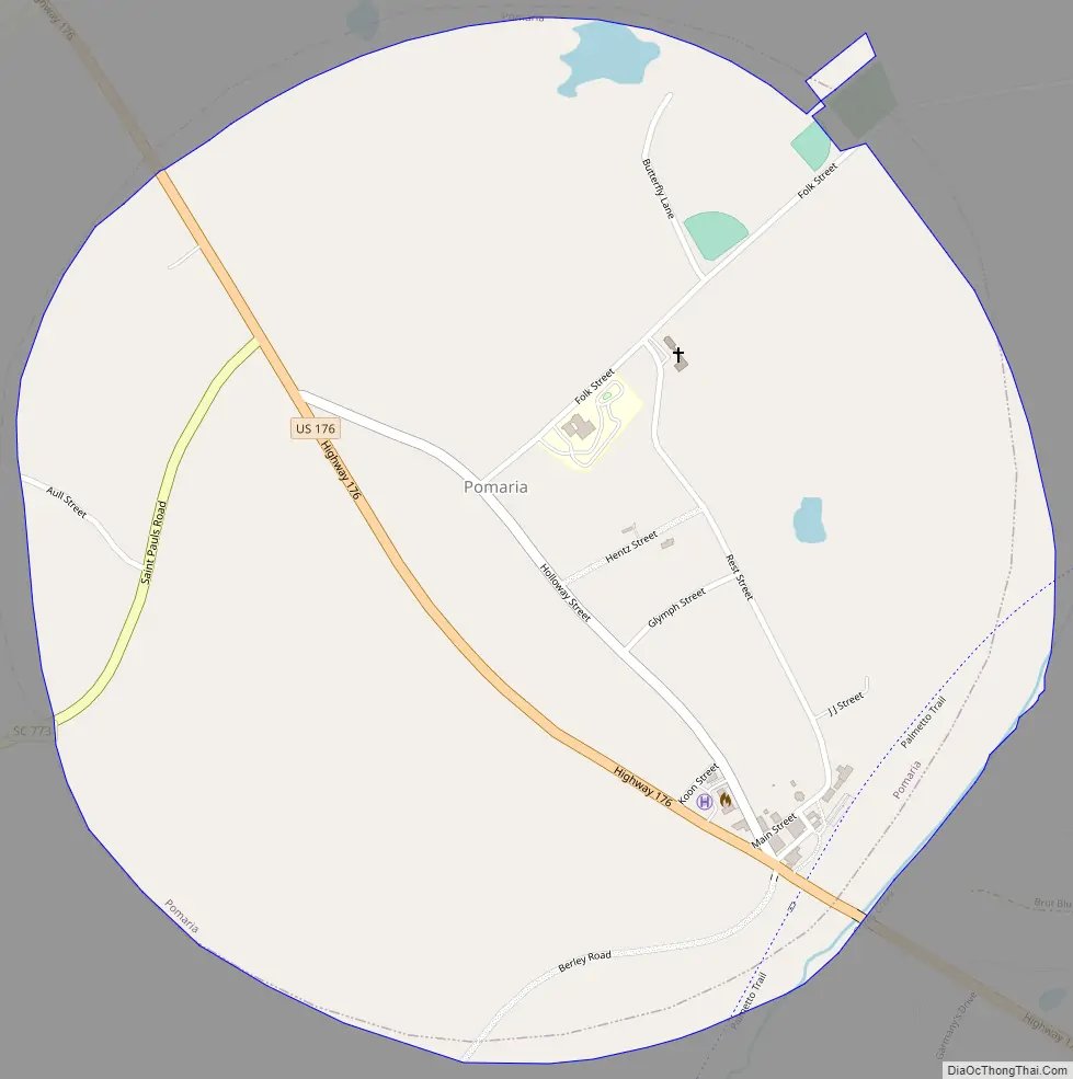
Pomaria Road Map
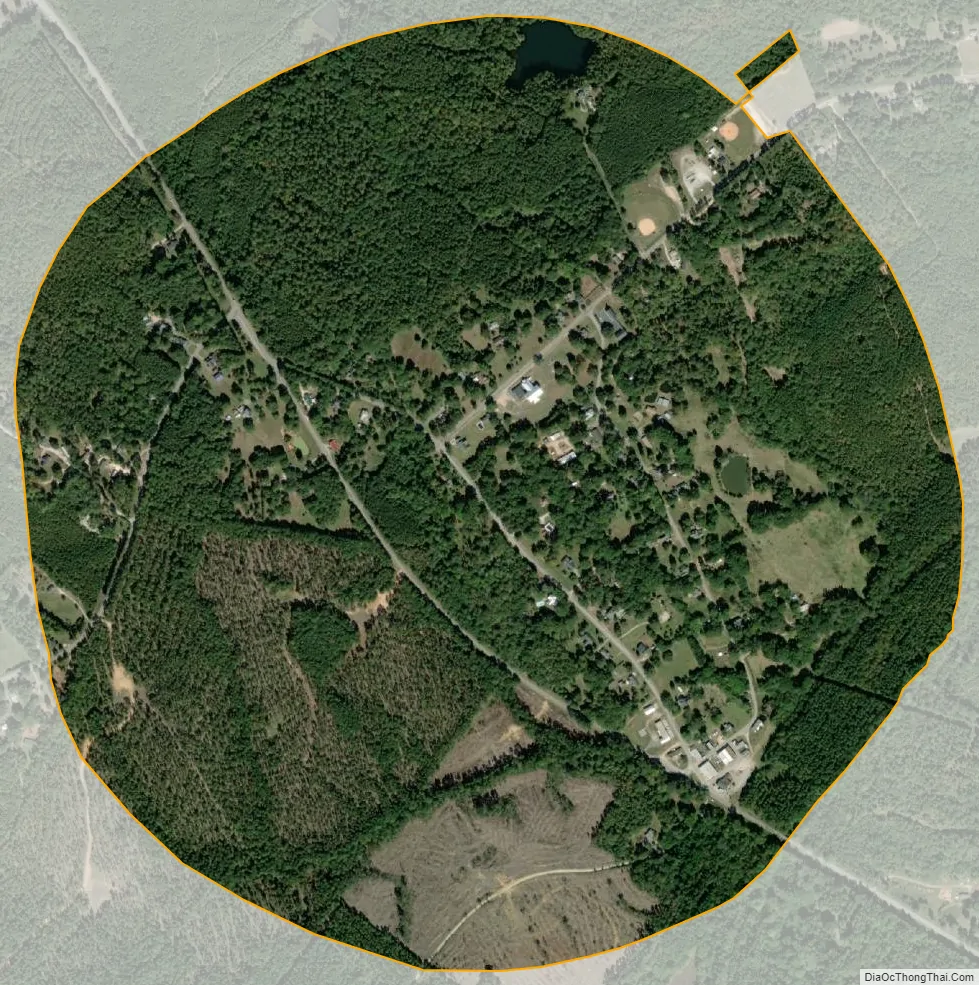
Pomaria city Satellite Map
Geography
Pomaria is located at 34°16′0″N 81°25′10″W / 34.26667°N 81.41944°W / 34.26667; -81.41944 (34.266535, -81.419580).
According to the United States Census Bureau, the town has a total area of 1.0 square mile (2.6 km), of which 1.0 square mile (2.6 km) is land and 0.95% is water.
See also
Map of South Carolina State and its subdivision:- Abbeville
- Aiken
- Allendale
- Anderson
- Bamberg
- Barnwell
- Beaufort
- Berkeley
- Calhoun
- Charleston
- Cherokee
- Chester
- Chesterfield
- Clarendon
- Colleton
- Darlington
- Dillon
- Dorchester
- Edgefield
- Fairfield
- Florence
- Georgetown
- Greenville
- Greenwood
- Hampton
- Horry
- Jasper
- Kershaw
- Lancaster
- Laurens
- Lee
- Lexington
- Marion
- Marlboro
- McCormick
- Newberry
- Oconee
- Orangeburg
- Pickens
- Richland
- Saluda
- Spartanburg
- Sumter
- Union
- Williamsburg
- York
- Alabama
- Alaska
- Arizona
- Arkansas
- California
- Colorado
- Connecticut
- Delaware
- District of Columbia
- Florida
- Georgia
- Hawaii
- Idaho
- Illinois
- Indiana
- Iowa
- Kansas
- Kentucky
- Louisiana
- Maine
- Maryland
- Massachusetts
- Michigan
- Minnesota
- Mississippi
- Missouri
- Montana
- Nebraska
- Nevada
- New Hampshire
- New Jersey
- New Mexico
- New York
- North Carolina
- North Dakota
- Ohio
- Oklahoma
- Oregon
- Pennsylvania
- Rhode Island
- South Carolina
- South Dakota
- Tennessee
- Texas
- Utah
- Vermont
- Virginia
- Washington
- West Virginia
- Wisconsin
- Wyoming