Silverstreet is a town in Newberry County, South Carolina, United States. The population was 162 at the 2010 census. Arguably its biggest tourist attraction is its Thunderbolt siren, tested once a week for three minutes, and the last of its kind in Newberry County.
| Name: | Silverstreet town |
|---|---|
| LSAD Code: | 43 |
| LSAD Description: | town (suffix) |
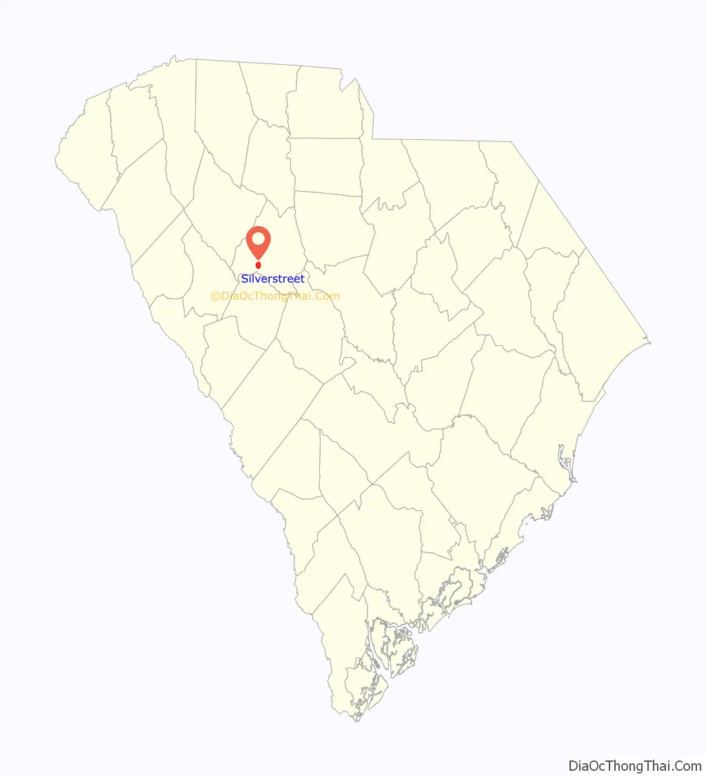
| State: | South Carolina |
| County: | Newberry County |
| Elevation: | 489 ft (149 m) |
| Total Area: | 3.35 sq mi (8.67 km²) |
| Land Area: | 3.35 sq mi (8.67 km²) |
| Water Area: | 0.00 sq mi (0.00 km²) |
| Total Population: | 164 |
| Population Density: | 48.98/sq mi (18.91/km²) |
| ZIP code: | 29145 |
| Area code: | 803, 839 |
| FIPS code: | 4566400 |
| GNISfeature ID: | 1226626 |
Online Interactive Map
Click on ![]() to view map in "full screen" mode.
to view map in "full screen" mode.
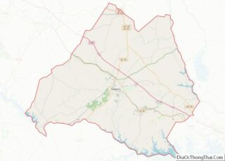
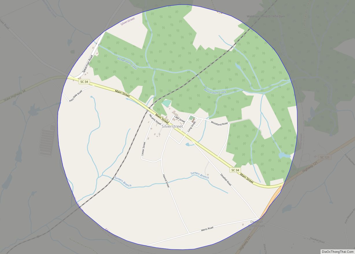
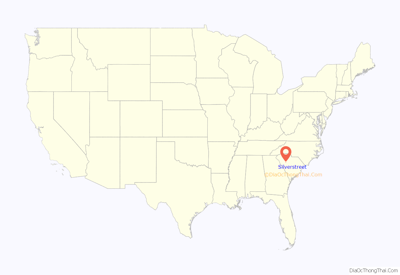
Silverstreet location map. Where is Silverstreet town?
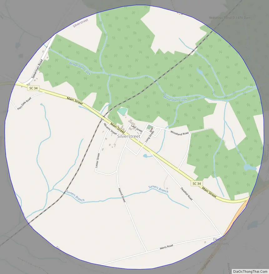
Silverstreet Road Map
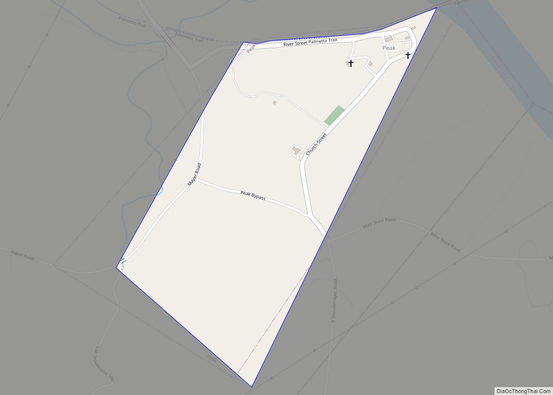
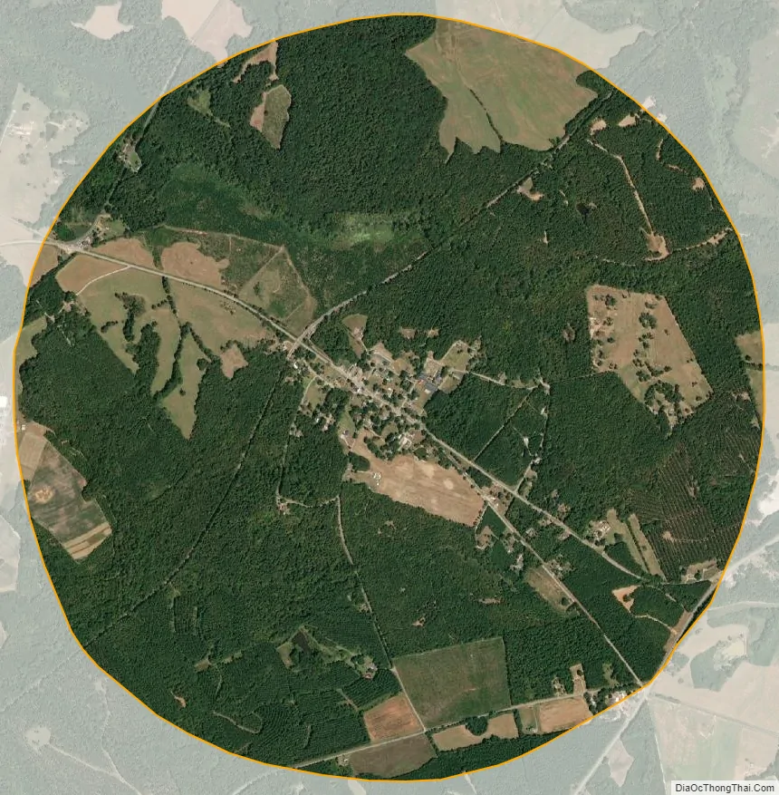
Silverstreet city Satellite Map
Geography
Silverstreet is located at 34°13′4″N 81°42′48″W / 34.21778°N 81.71333°W / 34.21778; -81.71333 (34.217657, -81.713229). The town is located along South Carolina Highway 34 west of Newberry and just north of the Saluda River. Lake Murray lies to the southeast, and Lake Greenwood lies to the northwest.
According to the United States Census Bureau, the town has a total area of 3.5 square miles (9.1 km), all land.
See also
Map of South Carolina State and its subdivision:- Abbeville
- Aiken
- Allendale
- Anderson
- Bamberg
- Barnwell
- Beaufort
- Berkeley
- Calhoun
- Charleston
- Cherokee
- Chester
- Chesterfield
- Clarendon
- Colleton
- Darlington
- Dillon
- Dorchester
- Edgefield
- Fairfield
- Florence
- Georgetown
- Greenville
- Greenwood
- Hampton
- Horry
- Jasper
- Kershaw
- Lancaster
- Laurens
- Lee
- Lexington
- Marion
- Marlboro
- McCormick
- Newberry
- Oconee
- Orangeburg
- Pickens
- Richland
- Saluda
- Spartanburg
- Sumter
- Union
- Williamsburg
- York
- Alabama
- Alaska
- Arizona
- Arkansas
- California
- Colorado
- Connecticut
- Delaware
- District of Columbia
- Florida
- Georgia
- Hawaii
- Idaho
- Illinois
- Indiana
- Iowa
- Kansas
- Kentucky
- Louisiana
- Maine
- Maryland
- Massachusetts
- Michigan
- Minnesota
- Mississippi
- Missouri
- Montana
- Nebraska
- Nevada
- New Hampshire
- New Jersey
- New Mexico
- New York
- North Carolina
- North Dakota
- Ohio
- Oklahoma
- Oregon
- Pennsylvania
- Rhode Island
- South Carolina
- South Dakota
- Tennessee
- Texas
- Utah
- Vermont
- Virginia
- Washington
- West Virginia
- Wisconsin
- Wyoming