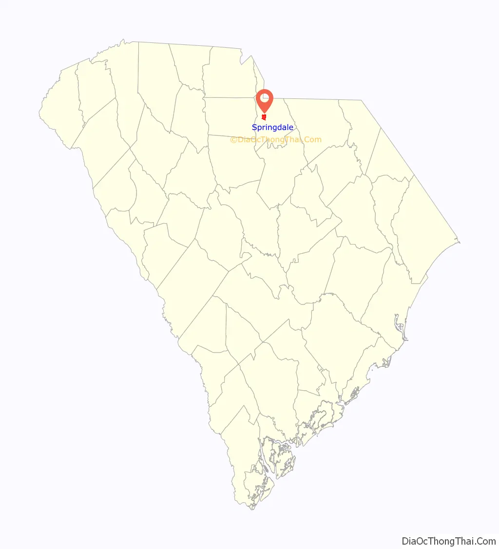
Springdale is an unincorporated community and census-designated place (CDP) in Lancaster County, South Carolina, United States. The population was 2,574 at the 2010 census, down from 2,864 at the 2000 census.
| Name: | Springdale CDP |
|---|---|
| LSAD Code: | 57 |
| LSAD Description: | CDP (suffix) |
| State: | South Carolina |
| County: | Lancaster County |
| Elevation: | 538 ft (164 m) |
| Total Area: | 4.24 sq mi (10.98 km²) |
| Land Area: | 4.22 sq mi (10.94 km²) |
| Water Area: | 0.02 sq mi (0.04 km²) |
| Total Population: | 2,492 |
| Population Density: | 589.82/sq mi (227.74/km²) |
| FIPS code: | 4568380 |
| GNISfeature ID: | 1867532 |
Online Interactive Map
Click on ![]() to view map in "full screen" mode.
to view map in "full screen" mode.
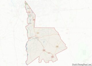
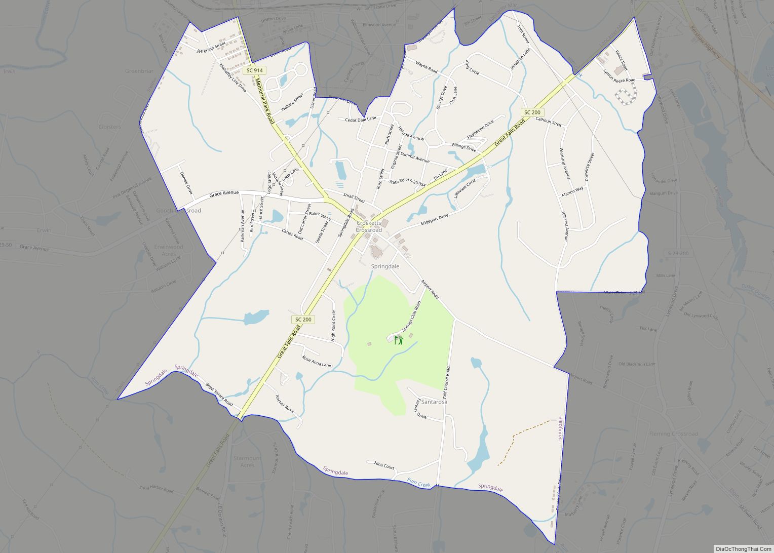
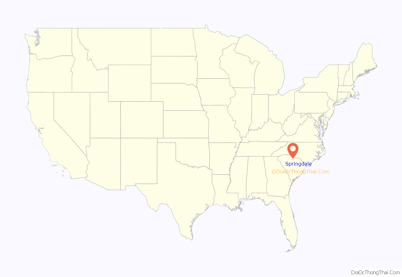
Springdale location map. Where is Springdale CDP?
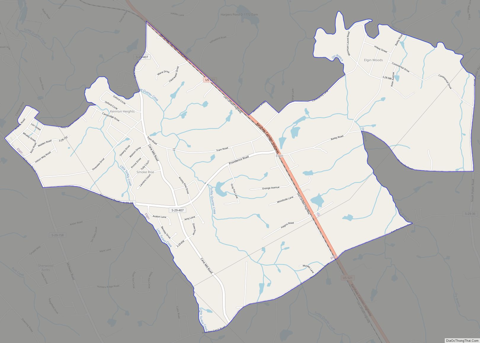
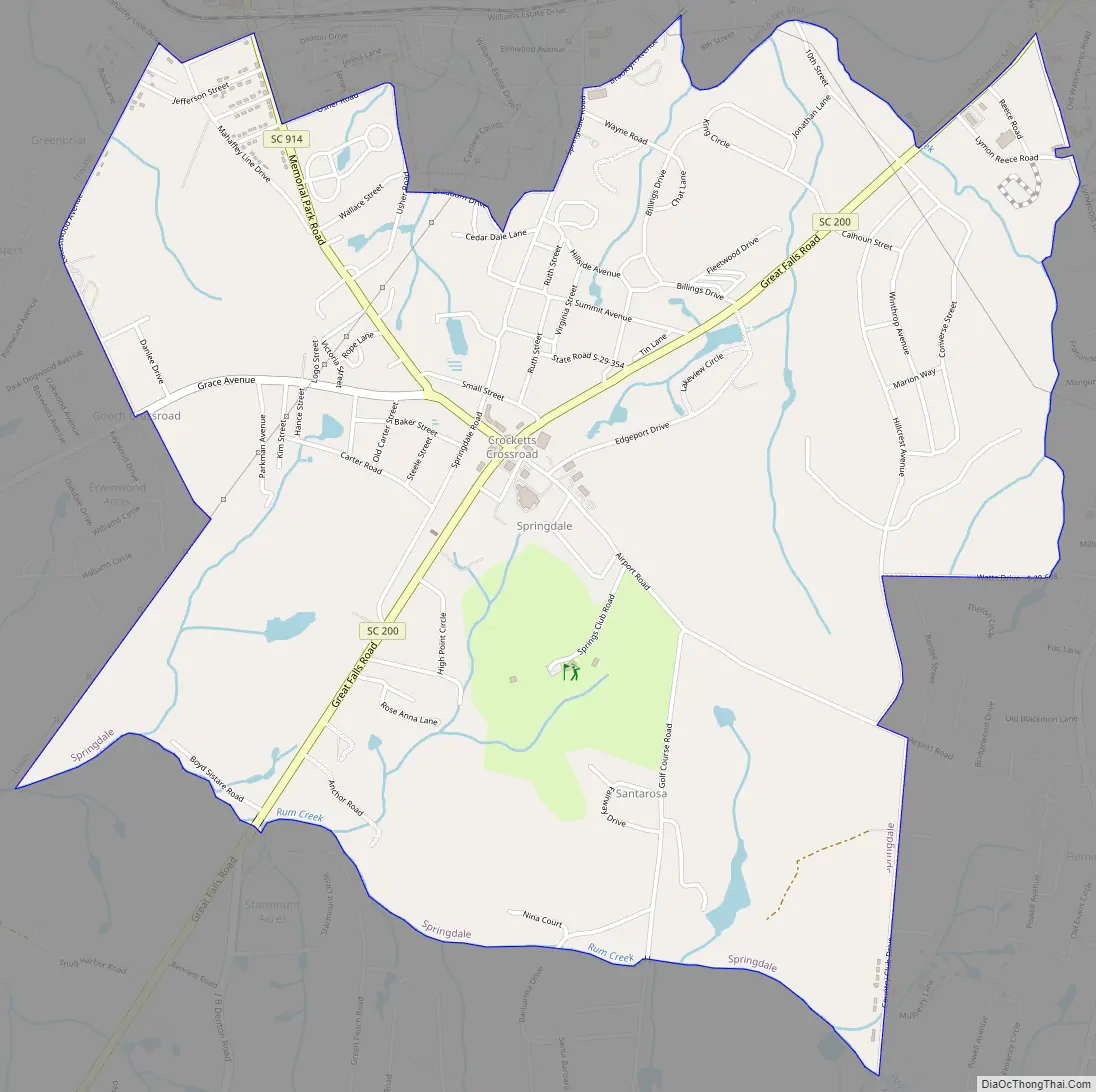
Springdale Road Map
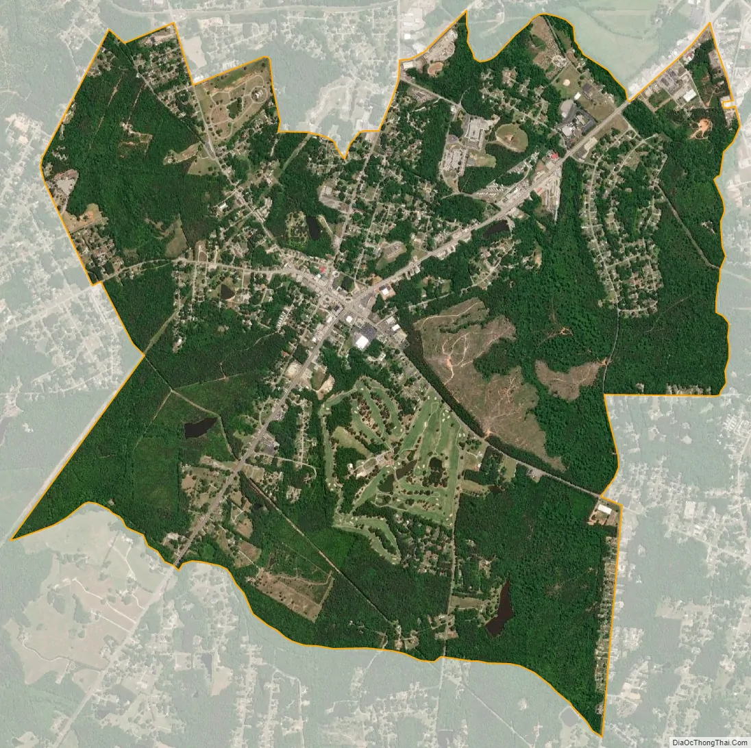
Springdale city Satellite Map
Geography
Springdale is located in west-central Lancaster County at 34°41′46″N 80°47′3″W / 34.69611°N 80.78417°W / 34.69611; -80.78417 (34.696147, -80.784233). It is bordered to the north by Lancaster, the county seat, and to the west by unincorporated Irwin.
South Carolina Highway 200 (Great Falls Highway) passes through the center of the Springdale CDP, which includes Crockett Crossroad near the CDP’s center. Highway 200 leads northeast 2.5 miles (4.0 km) to the center of Lancaster and southwest 11 miles (18 km) to Great Falls.
According to the United States Census Bureau, the Springdale CDP has a total area of 4.2 square miles (11.0 km), of which 0.02 square miles (0.04 km), or 0.37%, are water. The community drains north to Bear Creek and south to Rum Creek, both northwest-flowing tributaries of Cane Creek and part of the Catawba River watershed.
See also
Map of South Carolina State and its subdivision:- Abbeville
- Aiken
- Allendale
- Anderson
- Bamberg
- Barnwell
- Beaufort
- Berkeley
- Calhoun
- Charleston
- Cherokee
- Chester
- Chesterfield
- Clarendon
- Colleton
- Darlington
- Dillon
- Dorchester
- Edgefield
- Fairfield
- Florence
- Georgetown
- Greenville
- Greenwood
- Hampton
- Horry
- Jasper
- Kershaw
- Lancaster
- Laurens
- Lee
- Lexington
- Marion
- Marlboro
- McCormick
- Newberry
- Oconee
- Orangeburg
- Pickens
- Richland
- Saluda
- Spartanburg
- Sumter
- Union
- Williamsburg
- York
- Alabama
- Alaska
- Arizona
- Arkansas
- California
- Colorado
- Connecticut
- Delaware
- District of Columbia
- Florida
- Georgia
- Hawaii
- Idaho
- Illinois
- Indiana
- Iowa
- Kansas
- Kentucky
- Louisiana
- Maine
- Maryland
- Massachusetts
- Michigan
- Minnesota
- Mississippi
- Missouri
- Montana
- Nebraska
- Nevada
- New Hampshire
- New Jersey
- New Mexico
- New York
- North Carolina
- North Dakota
- Ohio
- Oklahoma
- Oregon
- Pennsylvania
- Rhode Island
- South Carolina
- South Dakota
- Tennessee
- Texas
- Utah
- Vermont
- Virginia
- Washington
- West Virginia
- Wisconsin
- Wyoming