Waterloo is a town in Laurens County, South Carolina, United States. The population was 166 at the 2010 census.
| Name: | Waterloo town |
|---|---|
| LSAD Code: | 43 |
| LSAD Description: | town (suffix) |
| State: | South Carolina |
| County: | Laurens County |
| Elevation: | 614 ft (187 m) |
| Total Area: | 1.78 sq mi (4.62 km²) |
| Land Area: | 1.78 sq mi (4.62 km²) |
| Water Area: | 0.00 sq mi (0.00 km²) |
| Total Population: | 149 |
| Population Density: | 83.57/sq mi (32.27/km²) |
| ZIP code: | 29384 |
| Area code: | 864 |
| FIPS code: | 4574995 |
| GNISfeature ID: | 1231896 |
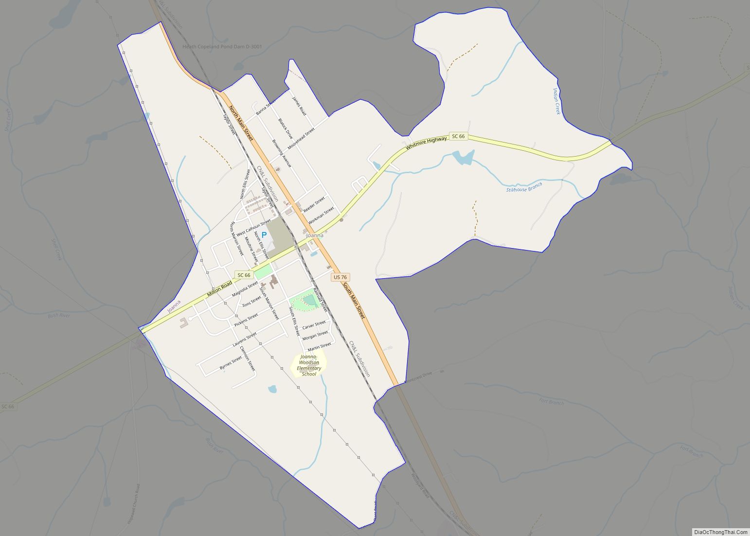
Online Interactive Map
Click on ![]() to view map in "full screen" mode.
to view map in "full screen" mode.
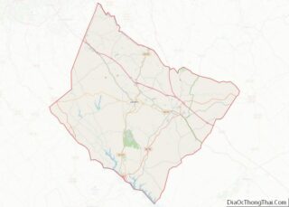
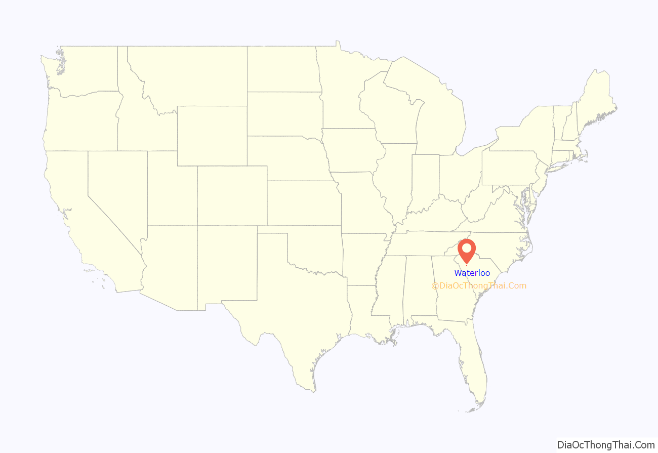
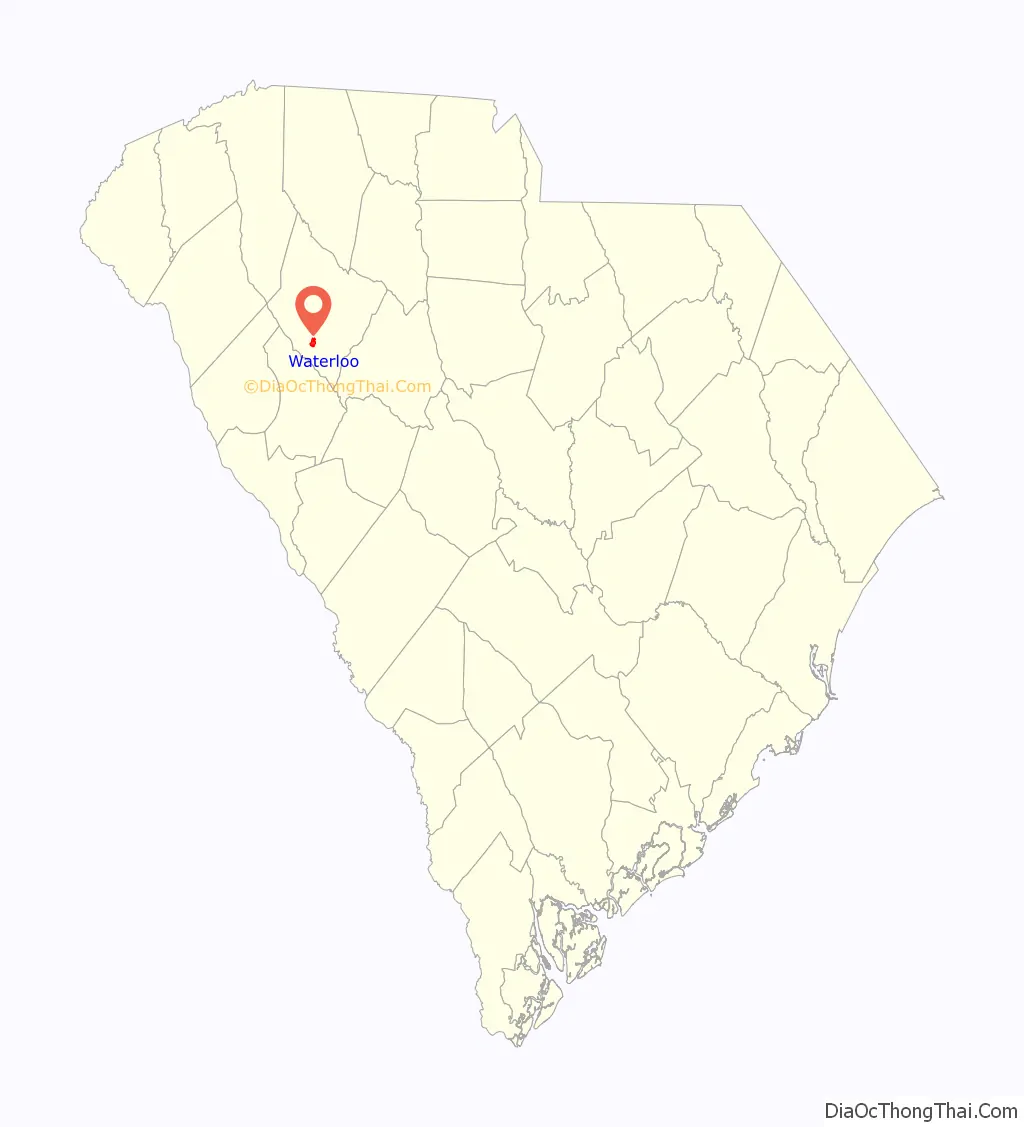
Waterloo location map. Where is Waterloo town?
History
Waterloo was incorporated as a town in 1885.
Rosemont Plantation was added to the National Register of Historic Places in 1993.
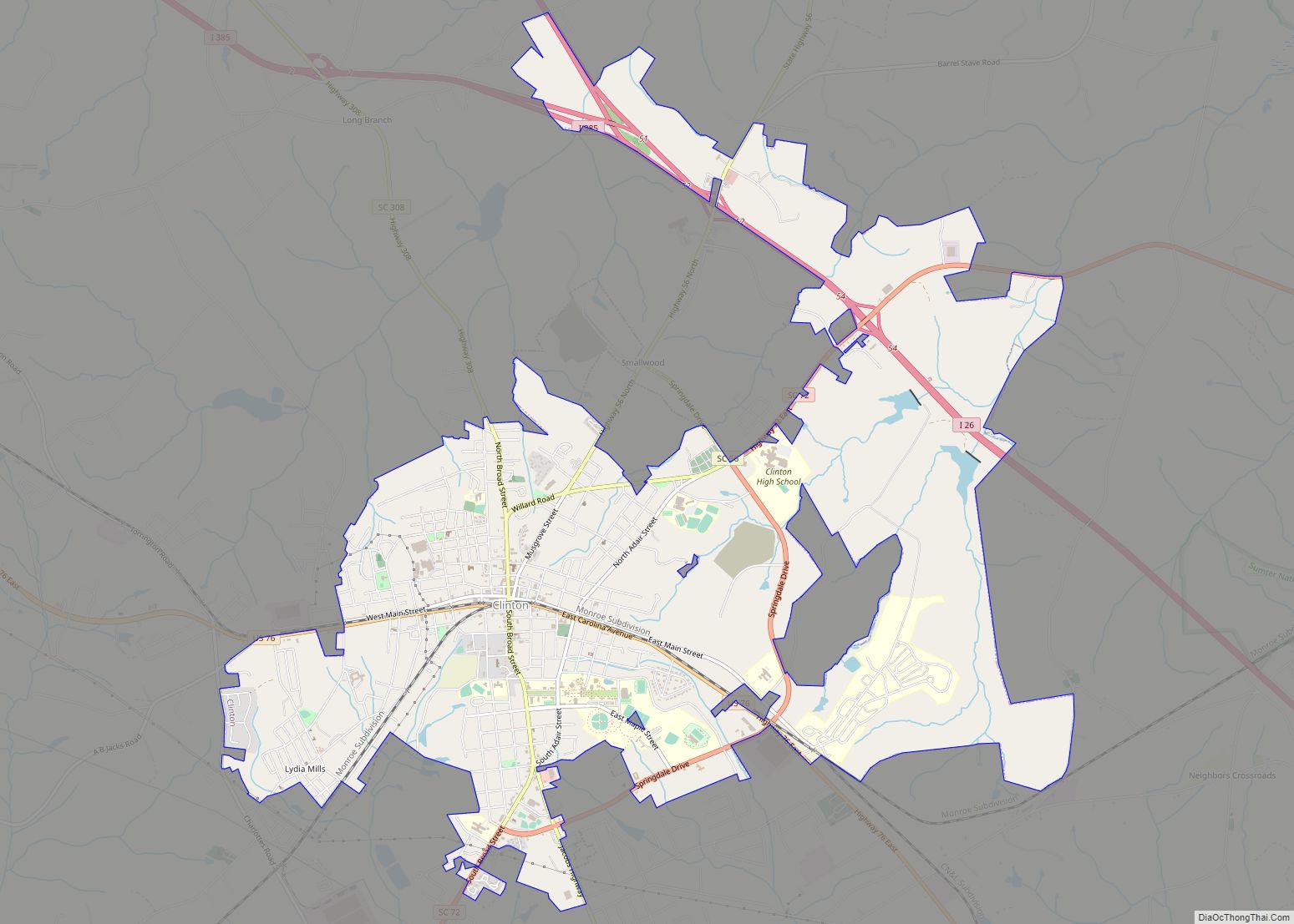
Waterloo Road Map
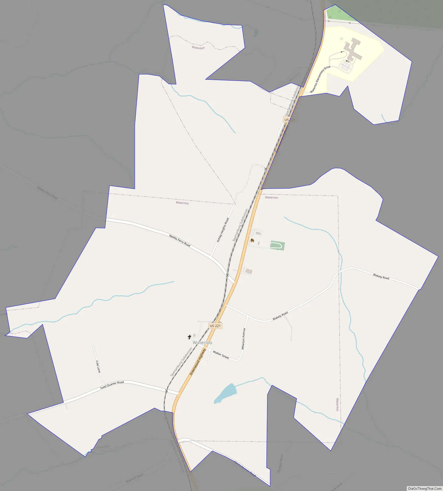
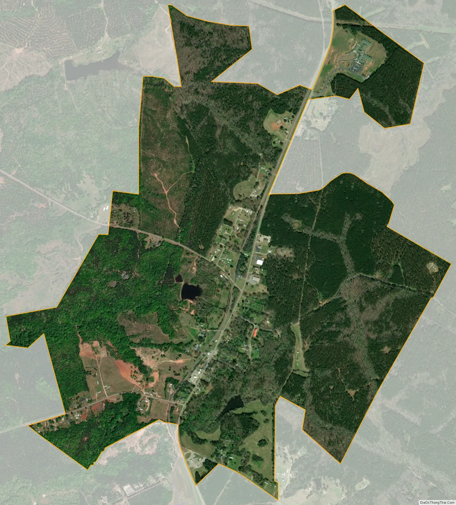
Waterloo city Satellite Map
Geography
Waterloo is located at 34°21′11″N 82°3′29″W / 34.35306°N 82.05806°W / 34.35306; -82.05806 (34.352968, -82.058068).
According to the United States Census Bureau, the town has a total area of 1.4 square miles (3.7 km), all land.
See also
Map of South Carolina State and its subdivision:- Abbeville
- Aiken
- Allendale
- Anderson
- Bamberg
- Barnwell
- Beaufort
- Berkeley
- Calhoun
- Charleston
- Cherokee
- Chester
- Chesterfield
- Clarendon
- Colleton
- Darlington
- Dillon
- Dorchester
- Edgefield
- Fairfield
- Florence
- Georgetown
- Greenville
- Greenwood
- Hampton
- Horry
- Jasper
- Kershaw
- Lancaster
- Laurens
- Lee
- Lexington
- Marion
- Marlboro
- McCormick
- Newberry
- Oconee
- Orangeburg
- Pickens
- Richland
- Saluda
- Spartanburg
- Sumter
- Union
- Williamsburg
- York
- Alabama
- Alaska
- Arizona
- Arkansas
- California
- Colorado
- Connecticut
- Delaware
- District of Columbia
- Florida
- Georgia
- Hawaii
- Idaho
- Illinois
- Indiana
- Iowa
- Kansas
- Kentucky
- Louisiana
- Maine
- Maryland
- Massachusetts
- Michigan
- Minnesota
- Mississippi
- Missouri
- Montana
- Nebraska
- Nevada
- New Hampshire
- New Jersey
- New Mexico
- New York
- North Carolina
- North Dakota
- Ohio
- Oklahoma
- Oregon
- Pennsylvania
- Rhode Island
- South Carolina
- South Dakota
- Tennessee
- Texas
- Utah
- Vermont
- Virginia
- Washington
- West Virginia
- Wisconsin
- Wyoming