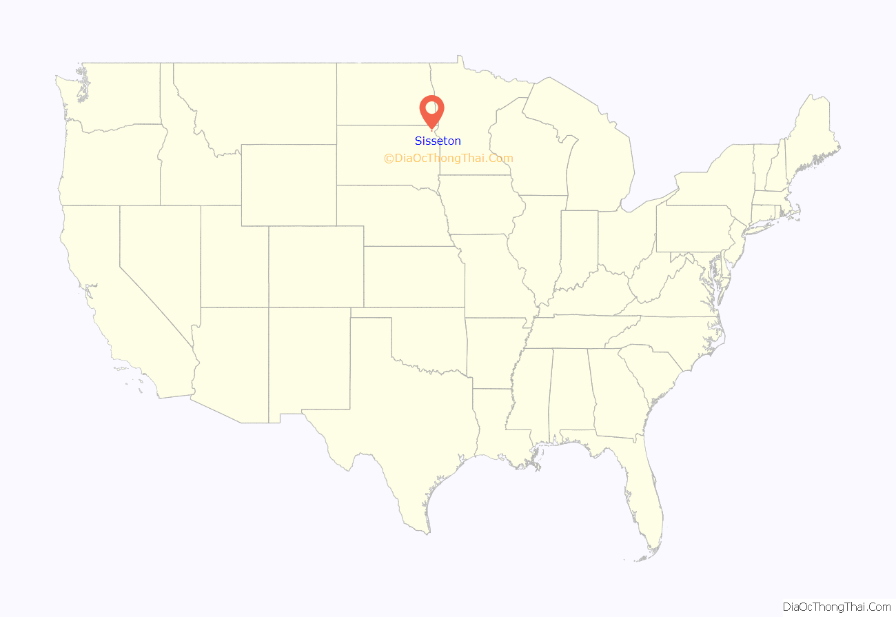
Sisseton is a city in Roberts County, South Dakota, United States. The population was 2,479 at the 2020 census. It is the county seat of Roberts County. Sisseton is the home to a number of tourist attractions, including the Nicollet Tower, and is near the “Song to the Great Spirit” building on the Sisseton Wahpeton College campus. The city is named for the Sisseton (or Sissetowan) division of the Native American Sioux. It also serves as an important part of the Lake Traverse Indian Reservation.
| Name: | Sisseton city |
|---|---|
| LSAD Code: | 25 |
| LSAD Description: | city (suffix) |
| State: | South Dakota |
| County: | Roberts County |
| Incorporated: | 1907 |
| Elevation: | 1,224 ft (373 m) |
| Total Area: | 1.59 sq mi (4.12 km²) |
| Land Area: | 1.59 sq mi (4.12 km²) |
| Water Area: | 0.00 sq mi (0.00 km²) |
| Total Population: | 2,479 |
| Population Density: | 1,558.14/sq mi (601.52/km²) |
| ZIP code: | 57262 |
| Area code: | Area code 605 |
| FIPS code: | 4659260 |
| GNISfeature ID: | 1258093 |
| Website: | sisseton.com |
Online Interactive Map
Sisseton location map. Where is Sisseton city?
Sisseton Road Map
Sisseton city Satellite Map
Geography
Sisseton is located at 45°39′48″N 97°2′57″W / 45.66333°N 97.04917°W / 45.66333; -97.04917 (45.663259, −97.049040). According to the United States Census Bureau, the city has a total area of 1.59 square miles (4.12 km), all land.
Sisseton has been assigned the ZIP code 57262 and the FIPS place code 59260.
Climate
- ^ Records maintained at the airport since August 27, 1998, and at the Sisseton COOP before that.
See also
Map of South Dakota State and its subdivision:- Aurora
- Beadle
- Bennett
- Bon Homme
- Brookings
- Brown
- Brule
- Buffalo
- Butte
- Campbell
- Charles Mix
- Clark
- Clay
- Codington
- Corson
- Custer
- Davison
- Day
- Deuel
- Dewey
- Douglas
- Edmunds
- Fall River
- Faulk
- Grant
- Gregory
- Haakon
- Hamlin
- Hand
- Hanson
- Harding
- Hughes
- Hutchinson
- Hyde
- Jackson
- Jerauld
- Jones
- Kingsbury
- Lake
- Lawrence
- Lincoln
- Lyman
- Marshall
- McCook
- McPherson
- Meade
- Mellette
- Miner
- Minnehaha
- Moody
- Pennington
- Perkins
- Potter
- Roberts
- Sanborn
- Shannon
- Spink
- Stanley
- Sully
- Todd
- Tripp
- Turner
- Union
- Walworth
- Yankton
- Ziebach
- Alabama
- Alaska
- Arizona
- Arkansas
- California
- Colorado
- Connecticut
- Delaware
- District of Columbia
- Florida
- Georgia
- Hawaii
- Idaho
- Illinois
- Indiana
- Iowa
- Kansas
- Kentucky
- Louisiana
- Maine
- Maryland
- Massachusetts
- Michigan
- Minnesota
- Mississippi
- Missouri
- Montana
- Nebraska
- Nevada
- New Hampshire
- New Jersey
- New Mexico
- New York
- North Carolina
- North Dakota
- Ohio
- Oklahoma
- Oregon
- Pennsylvania
- Rhode Island
- South Carolina
- South Dakota
- Tennessee
- Texas
- Utah
- Vermont
- Virginia
- Washington
- West Virginia
- Wisconsin
- Wyoming


