Hales Corners is a village in Milwaukee County, Wisconsin, United States. The population was 7,720 at the 2020 census.
| Name: | Hales Corners village |
|---|---|
| LSAD Code: | 47 |
| LSAD Description: | village (suffix) |
| State: | Wisconsin |
| County: | Milwaukee County |
| Elevation: | 781 ft (238 m) |
| Total Area: | 3.20 sq mi (8.28 km²) |
| Land Area: | 3.19 sq mi (8.27 km²) |
| Water Area: | 0.01 sq mi (0.02 km²) |
| Total Population: | 7,720 |
| Population Density: | 2,370.61/sq mi (915.37/km²) |
| ZIP code: | 53130 |
| Area code: | 414 |
| FIPS code: | 5532075 |
| GNISfeature ID: | 1565971 |
| Website: | www.halescorners.org |
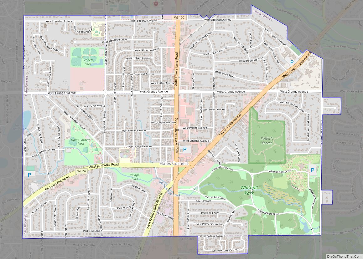
Online Interactive Map
Click on ![]() to view map in "full screen" mode.
to view map in "full screen" mode.
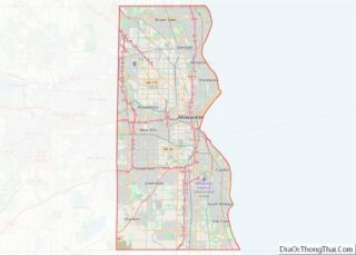
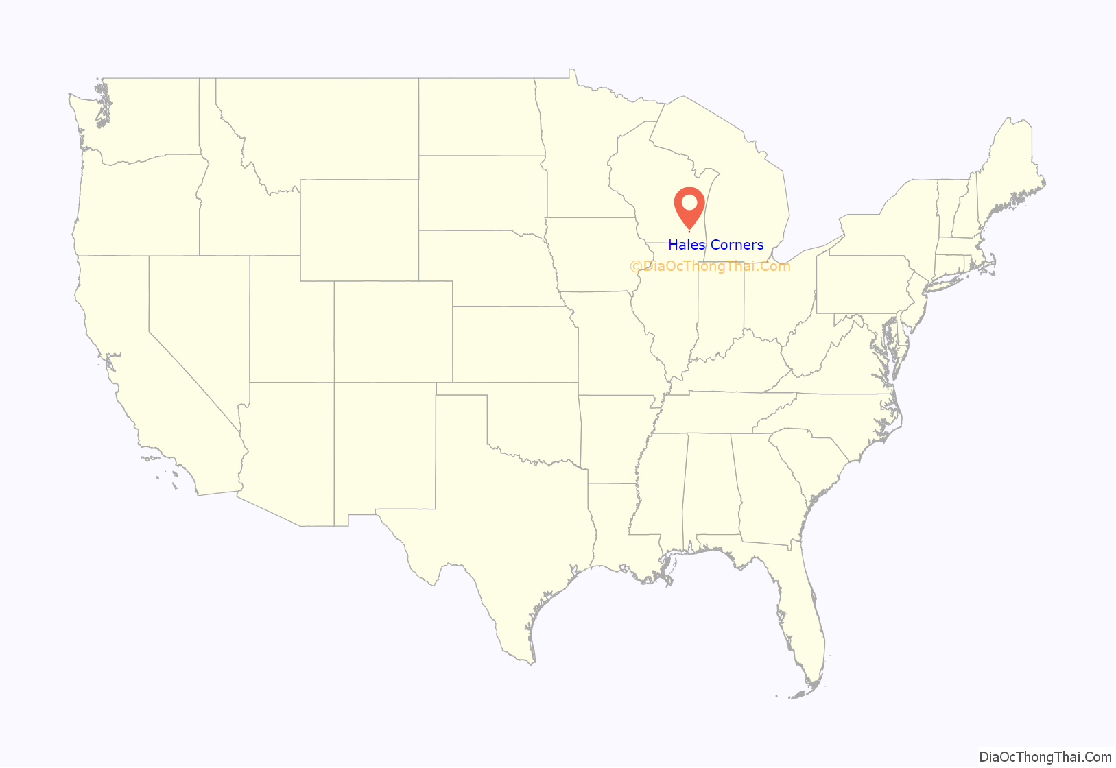
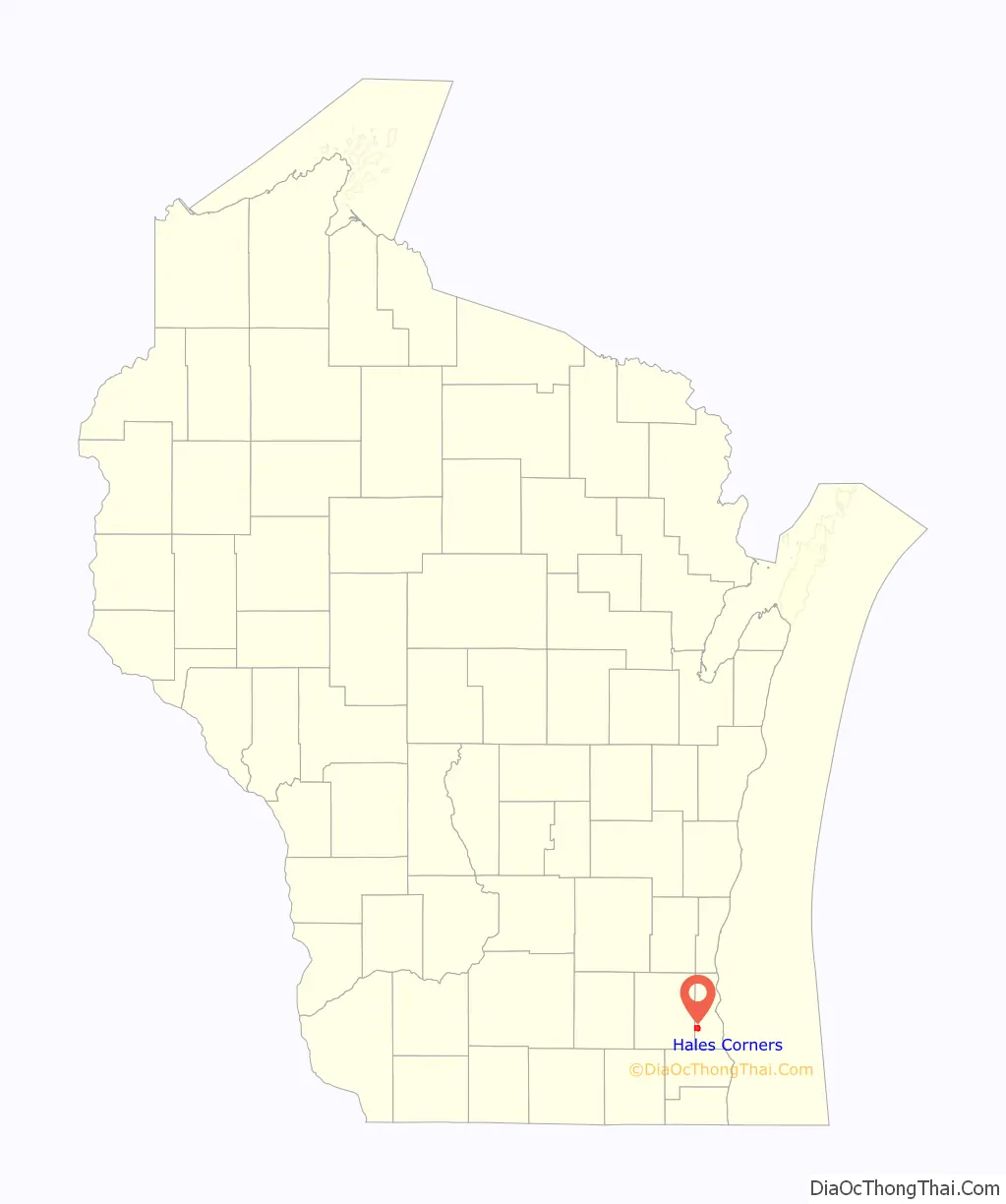
Hales Corners location map. Where is Hales Corners village?
History
The land in the area that would eventually encompass the Village was first claimed as French, then British, and eventually as the Northwest Territory of the United States in 1783. It was the land of the Potawatomi Indians until they were forced to move from their land in 1838. They were the dominant tribe in southeast Wisconsin with large villages. Like the Europeans that arrived later, they planted crops, but theirs were beans, squash, and corn. By engaging in the fur trade, the Potawatomi learned to speak French and English, and they eventually intermarried with the Europeans. During the 1830s and 1840s, more settlers arrived, starting with a number of New England families. Among them were three Hale families, whose lineage has been charted to England in the 1200s. Hales Corners traces its history as a Village to 1837, when Seneca Hale laid claim to land here, and its name is credited to his brother William, who became its first Postmaster in 1854. Hales Corners was the site of monthly fairs begun in the mid-1800’s, when the plank road between Janesville and Milwaukee passed through the village. First a gathering of horse traders, the fairs became a stock market for farmers trading pigs, cattle, and sheep.
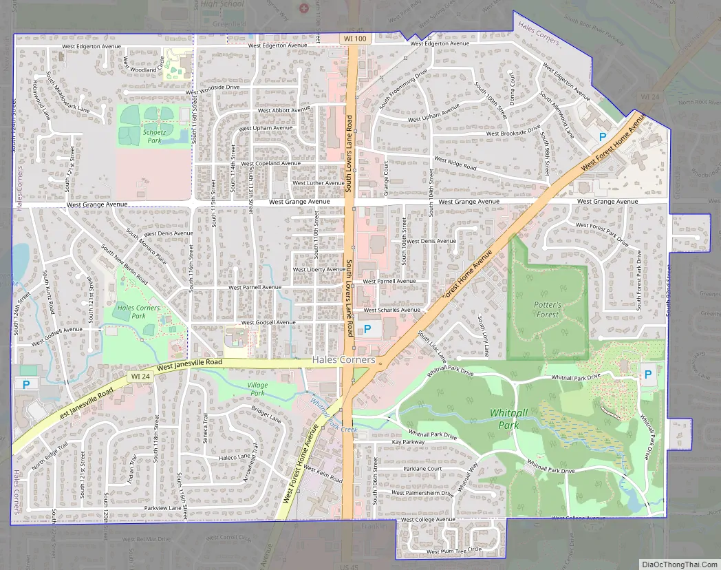
Hales Corners Road Map
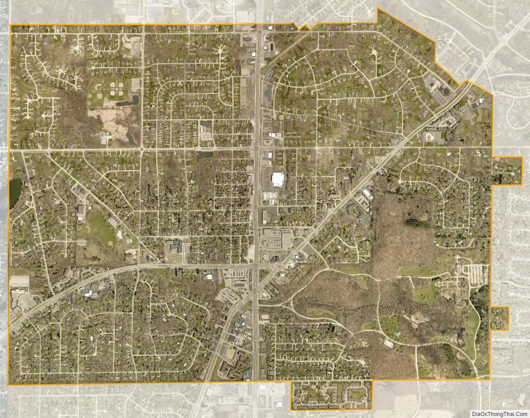
Hales Corners city Satellite Map
Geography
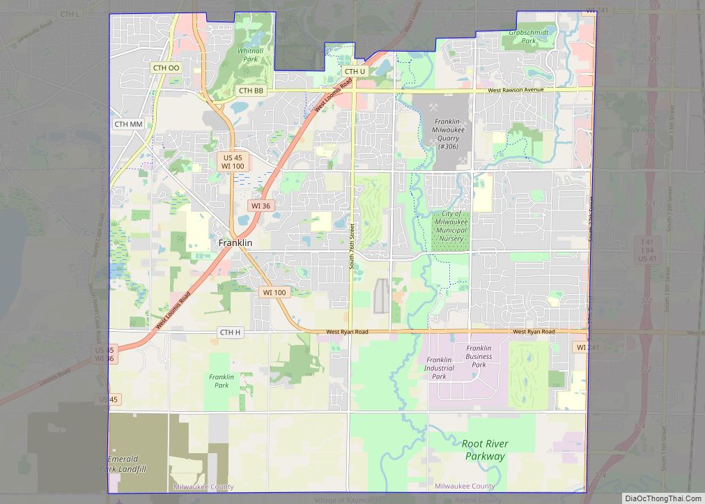
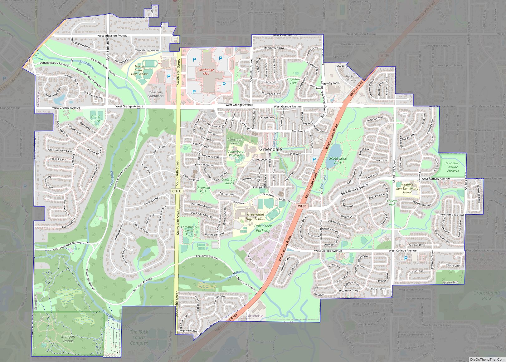
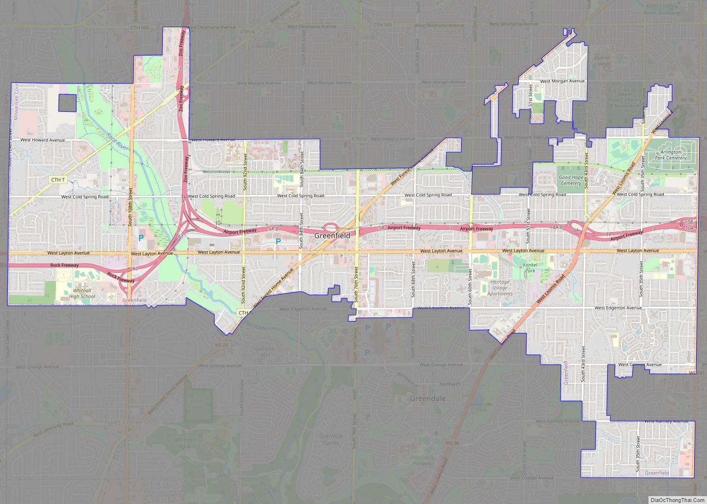
Hales Corners is located in southwestern Milwaukee County. It is bounded by Greenfield on the north, Greendale on the east, Franklin on the south, and New Berlin and Muskego in Waukesha County on the west.
According to the United States Census Bureau, the village has a total area of 3.22 square miles (8.34 km), of which, 3.21 square miles (8.31 km) of it is land and 0.01 square miles (0.03 km) is water. The elevation is 781 feet (238 m).
See also
Map of Wisconsin State and its subdivision:- Adams
- Ashland
- Barron
- Bayfield
- Brown
- Buffalo
- Burnett
- Calumet
- Chippewa
- Clark
- Columbia
- Crawford
- Dane
- Dodge
- Door
- Douglas
- Dunn
- Eau Claire
- Florence
- Fond du Lac
- Forest
- Grant
- Green
- Green Lake
- Iowa
- Iron
- Jackson
- Jefferson
- Juneau
- Kenosha
- Kewaunee
- La Crosse
- Lafayette
- Lake Michigan
- Lake Superior
- Langlade
- Lincoln
- Manitowoc
- Marathon
- Marinette
- Marquette
- Menominee
- Milwaukee
- Monroe
- Oconto
- Oneida
- Outagamie
- Ozaukee
- Pepin
- Pierce
- Polk
- Portage
- Price
- Racine
- Richland
- Rock
- Rusk
- Saint Croix
- Sauk
- Sawyer
- Shawano
- Sheboygan
- Taylor
- Trempealeau
- Vernon
- Vilas
- Walworth
- Washburn
- Washington
- Waukesha
- Waupaca
- Waushara
- Winnebago
- Wood
- Alabama
- Alaska
- Arizona
- Arkansas
- California
- Colorado
- Connecticut
- Delaware
- District of Columbia
- Florida
- Georgia
- Hawaii
- Idaho
- Illinois
- Indiana
- Iowa
- Kansas
- Kentucky
- Louisiana
- Maine
- Maryland
- Massachusetts
- Michigan
- Minnesota
- Mississippi
- Missouri
- Montana
- Nebraska
- Nevada
- New Hampshire
- New Jersey
- New Mexico
- New York
- North Carolina
- North Dakota
- Ohio
- Oklahoma
- Oregon
- Pennsylvania
- Rhode Island
- South Carolina
- South Dakota
- Tennessee
- Texas
- Utah
- Vermont
- Virginia
- Washington
- West Virginia
- Wisconsin
- Wyoming