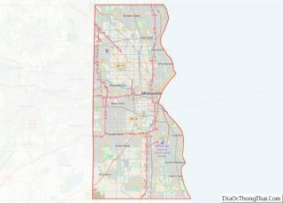
Greenfield is a city in the U.S. state of Wisconsin. Located in Milwaukee County, Greenfield is one of many bedroom communities in the Milwaukee metropolitan area. The population was 37,803 as of the 2020 Census.
| Name: | Greenfield city |
|---|---|
| LSAD Code: | 25 |
| LSAD Description: | city (suffix) |
| State: | Wisconsin |
| County: | Milwaukee County |
| Elevation: | 794 ft (242 m) |
| Total Area: | 11.54 sq mi (29.88 km²) |
| Land Area: | 11.53 sq mi (29.87 km²) |
| Water Area: | 0.01 sq mi (0.01 km²) |
| Total Population: | 37,803 |
| Population Density: | 3,278.1/sq mi (1,265.7/km²) |
| Area code: | 414 |
| FIPS code: | 5531175 |
| GNISfeature ID: | 1565841 |
| Website: | www.ci.greenfield.wi.us |
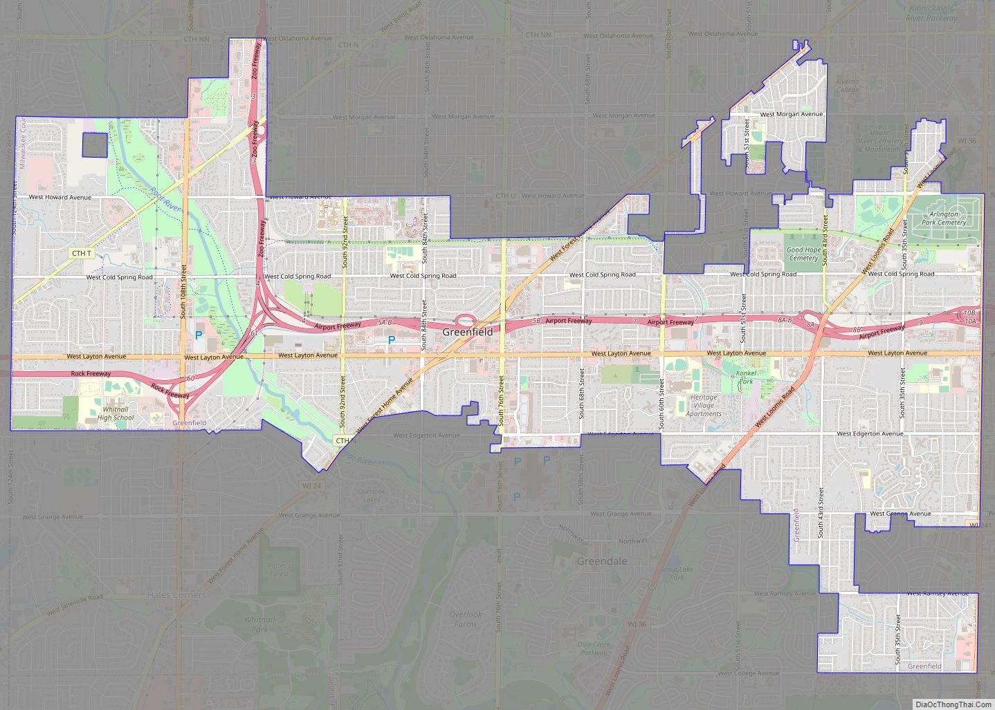
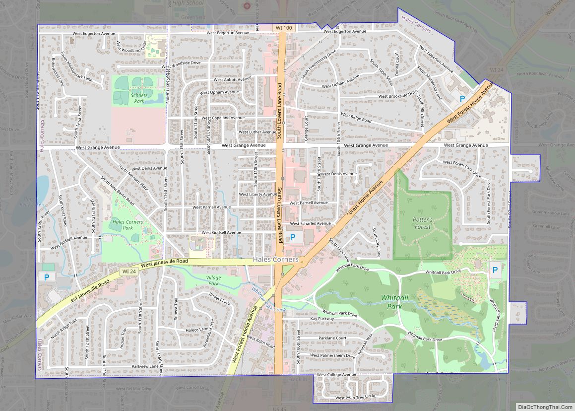
Online Interactive Map
Click on ![]() to view map in "full screen" mode.
to view map in "full screen" mode.
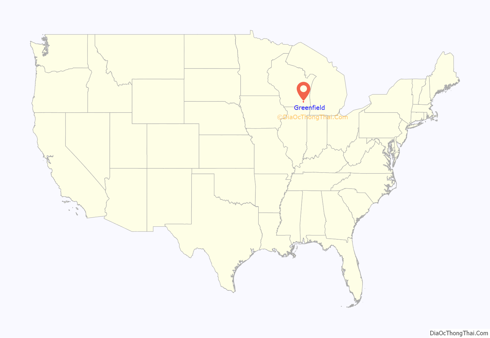
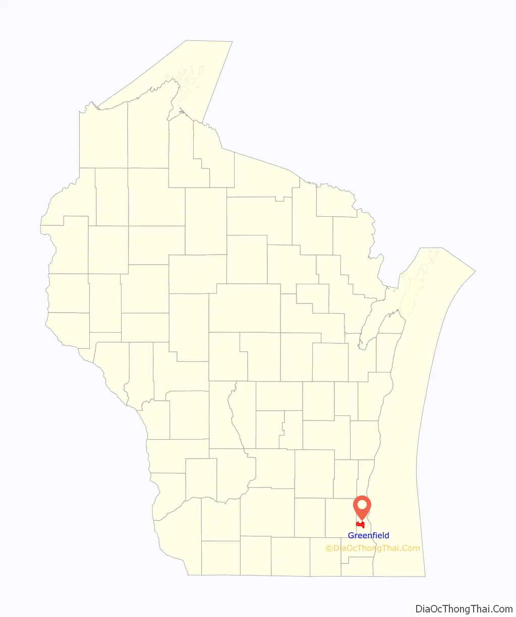
Greenfield location map. Where is Greenfield city?
History
On March 8, 1839, the Town of Kinnikennick was created by the territorial legislature, encompassing the western part of the Town of Lake); and on December 20, 1839, the south portion of the Town of Kinnikennick was split off to form the town of Franklin. As of the 1840 census, the population of the Town of Kinnikennick or Kinnikinnick was 404.
On February 19, 1841, the name of the town was changed to Greenfield, taking its name from the name of the Post Office in the Town of Kinnickinnic. Greenfield was the final municipality in Milwaukee County to incorporate, and was the final municipality to leave the Town form of government in 1957. This was done to prevent total annexation by the City of Milwaukee. Before 1957, Milwaukee slowly nibbled away at Greenfield’s land.
Greenfield Road Map
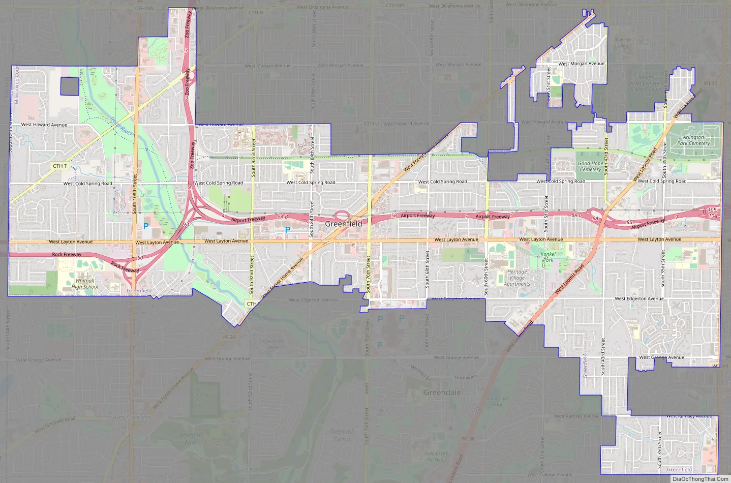
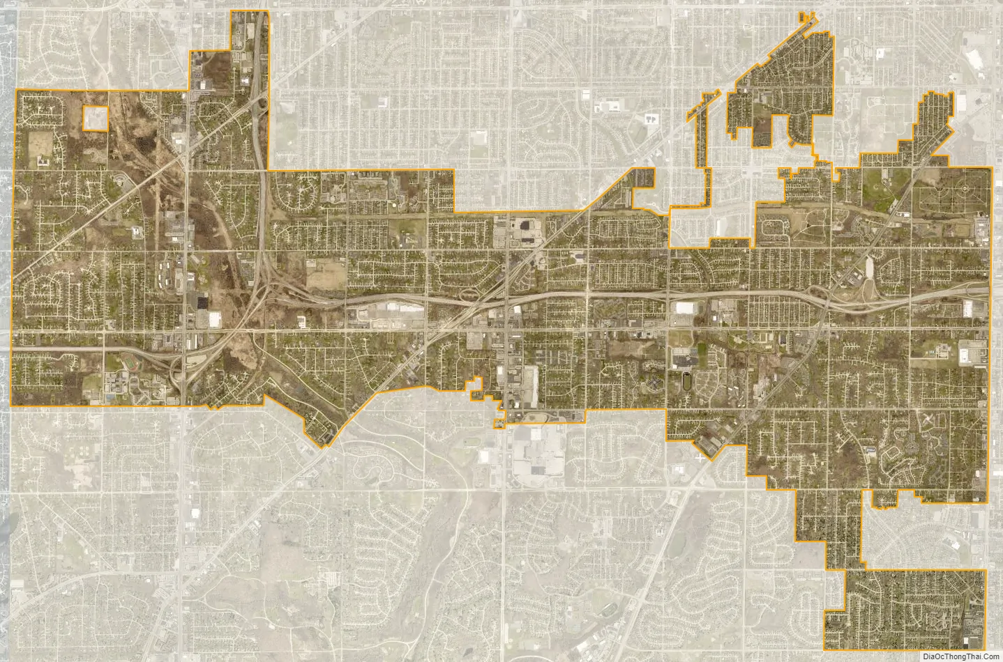
Greenfield city Satellite Map
Geography
Greenfield is located at 42°57′47″N 87°59′45″W / 42.96306°N 87.99583°W / 42.96306; -87.99583 (42.963034, −87.995943). The Root River flows through the western part of the city.
According to the United States Census Bureau, the city has a total area of 11.52 square miles (29.84 km), of which, 11.51 square miles (29.81 km) is land and 0.01 square miles (0.03 km) is water.
See also
Map of Wisconsin State and its subdivision:- Adams
- Ashland
- Barron
- Bayfield
- Brown
- Buffalo
- Burnett
- Calumet
- Chippewa
- Clark
- Columbia
- Crawford
- Dane
- Dodge
- Door
- Douglas
- Dunn
- Eau Claire
- Florence
- Fond du Lac
- Forest
- Grant
- Green
- Green Lake
- Iowa
- Iron
- Jackson
- Jefferson
- Juneau
- Kenosha
- Kewaunee
- La Crosse
- Lafayette
- Lake Michigan
- Lake Superior
- Langlade
- Lincoln
- Manitowoc
- Marathon
- Marinette
- Marquette
- Menominee
- Milwaukee
- Monroe
- Oconto
- Oneida
- Outagamie
- Ozaukee
- Pepin
- Pierce
- Polk
- Portage
- Price
- Racine
- Richland
- Rock
- Rusk
- Saint Croix
- Sauk
- Sawyer
- Shawano
- Sheboygan
- Taylor
- Trempealeau
- Vernon
- Vilas
- Walworth
- Washburn
- Washington
- Waukesha
- Waupaca
- Waushara
- Winnebago
- Wood
- Alabama
- Alaska
- Arizona
- Arkansas
- California
- Colorado
- Connecticut
- Delaware
- District of Columbia
- Florida
- Georgia
- Hawaii
- Idaho
- Illinois
- Indiana
- Iowa
- Kansas
- Kentucky
- Louisiana
- Maine
- Maryland
- Massachusetts
- Michigan
- Minnesota
- Mississippi
- Missouri
- Montana
- Nebraska
- Nevada
- New Hampshire
- New Jersey
- New Mexico
- New York
- North Carolina
- North Dakota
- Ohio
- Oklahoma
- Oregon
- Pennsylvania
- Rhode Island
- South Carolina
- South Dakota
- Tennessee
- Texas
- Utah
- Vermont
- Virginia
- Washington
- West Virginia
- Wisconsin
- Wyoming