Whitewater is a city located in Walworth and Jefferson counties in the U.S. state of Wisconsin. Located near the southern portion of the Kettle Moraine State Forest, Whitewater is the home of the University of Wisconsin–Whitewater. As of the 2020 census, the city’s population was 14,889.
| Name: | Whitewater city |
|---|---|
| LSAD Code: | 25 |
| LSAD Description: | city (suffix) |
| State: | Wisconsin |
| County: | Jefferson County, Walworth County |
| Elevation: | 824 ft (251 m) |
| Total Area: | 9.14 sq mi (23.67 km²) |
| Land Area: | 8.84 sq mi (22.89 km²) |
| Water Area: | 0.30 sq mi (0.77 km²) |
| Total Population: | 14,889 |
| Population Density: | 1,684.95/sq mi (650.58/km²) |
| Area code: | 262 |
| FIPS code: | 5586925 |
| GNISfeature ID: | 1576690 |
| Website: | www.whitewater-wi.gov |
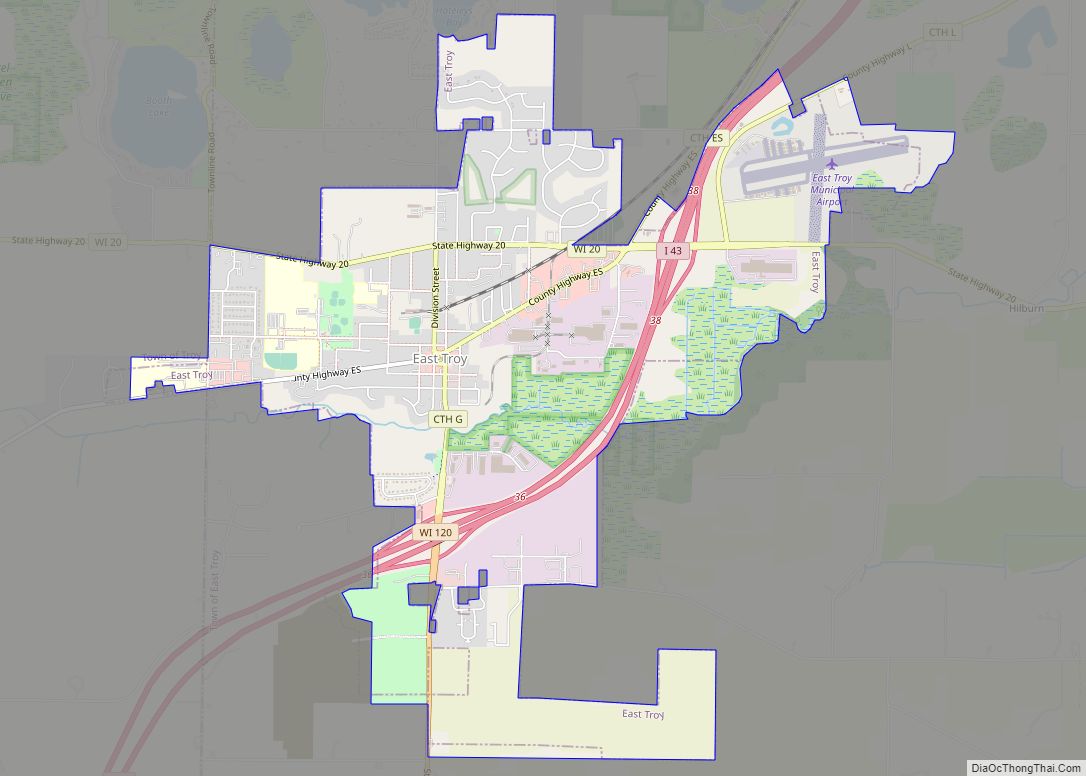
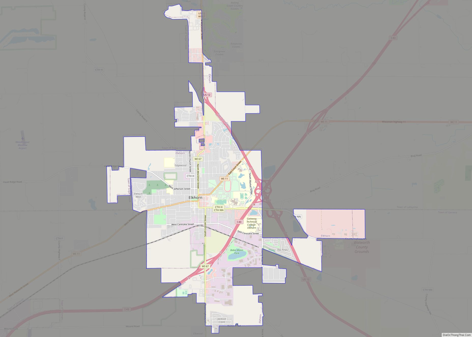
Online Interactive Map
Click on ![]() to view map in "full screen" mode.
to view map in "full screen" mode.
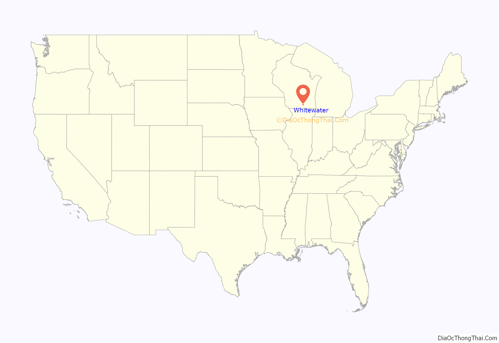
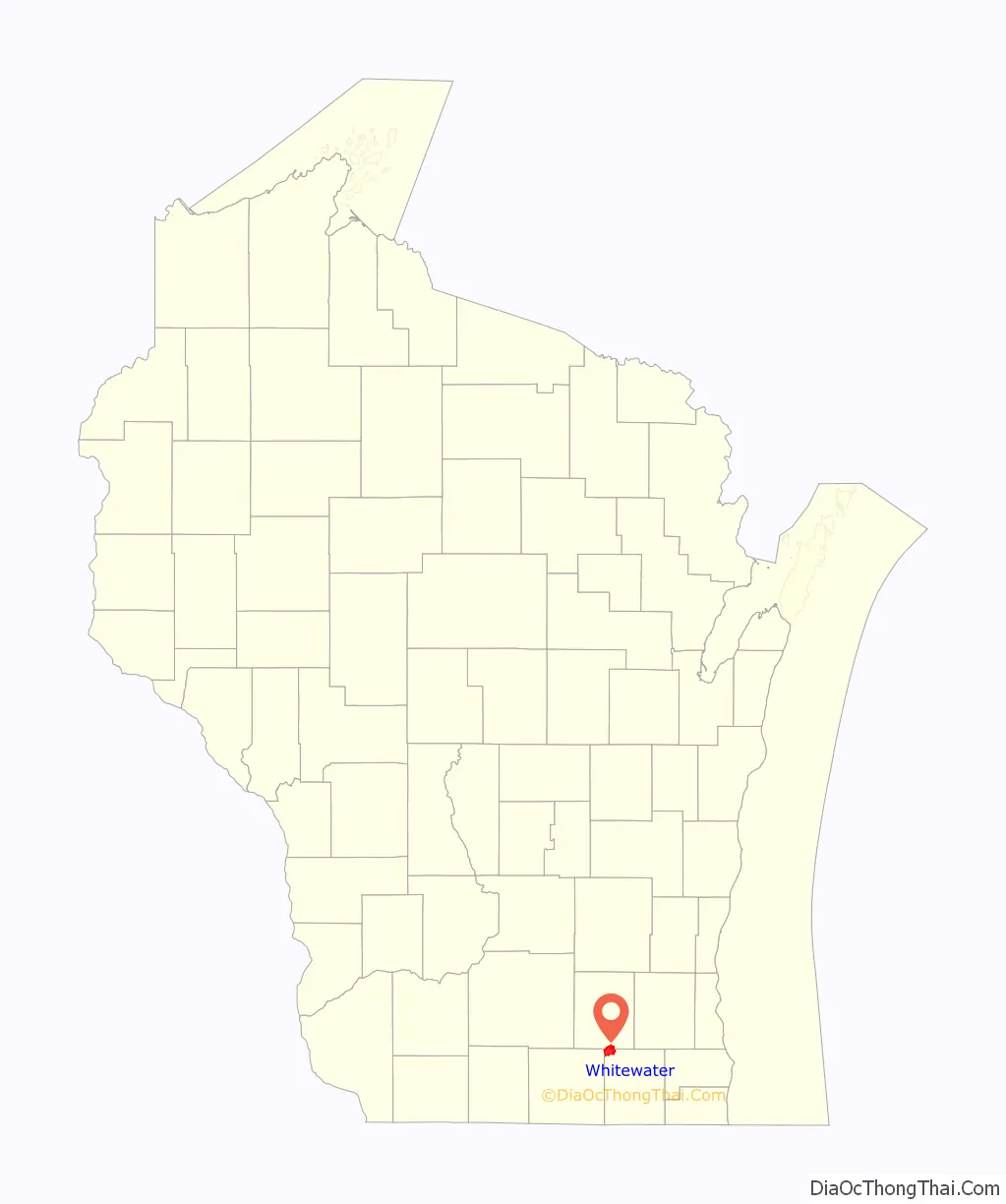
Whitewater location map. Where is Whitewater city?
History
Whitewater was founded at the confluence of Whitewater Creek and Spring Brook, and named for the white sand in their beds. A gristmill was built on Whitewater creek, the resulting pond now called Cravath Lake. The town grew quickly when the first railroad line in Wisconsin passed through in 1853, but struggled when the two largest employers left town.
Whitewater was originally founded entirely by settlers who arrived there from New England. These people were “Yankees”, that is to say they were descended from the English Puritans who settled New England in the 1600s. They were part of a wave of New England farmers who headed west into what was then the wilds of the Northwest Territory during the early 1800s. Most of them arrived as a result of the completion of the Erie Canal. When they arrived in what is now Whitewater, then nothing but dense virgin forest and wild prairie, the New Englanders laid out farms, constructed roads, erected government buildings and established post routes. They brought with them many of their Yankee New England values, such as staunch support for abolitionism and a passion for education, establishing many schools as well. They were mostly members of the Congregationalist Church though some were Episcopalian. Due to the second Great Awakening some of them had converted to Methodism before moving to what is now Whitewater. Whitewater, like much of Wisconsin, would be culturally very continuous with early New England culture for most of its early history.
Unlike much of Wisconsin, Walworth County was notable for not being heavily German-American, Whitewater had almost no German-Americans at a time when the state as a whole was receiving many. Whitewater in particular and Walworth County in general were also heavily anti-slavery, and the abolitionist movement was popular amongst the New England descended portion of the population in the area.
In the late 1800s immigrant families primarily from Belgium, Canada, Russia and Serbia settled in Whitewater, as well as smaller amounts of immigrants from France and England.
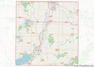
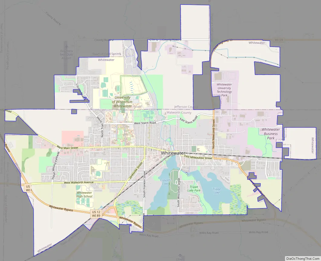
Whitewater Road Map
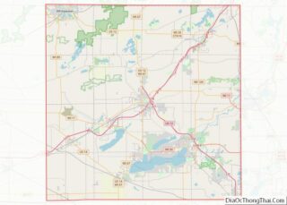
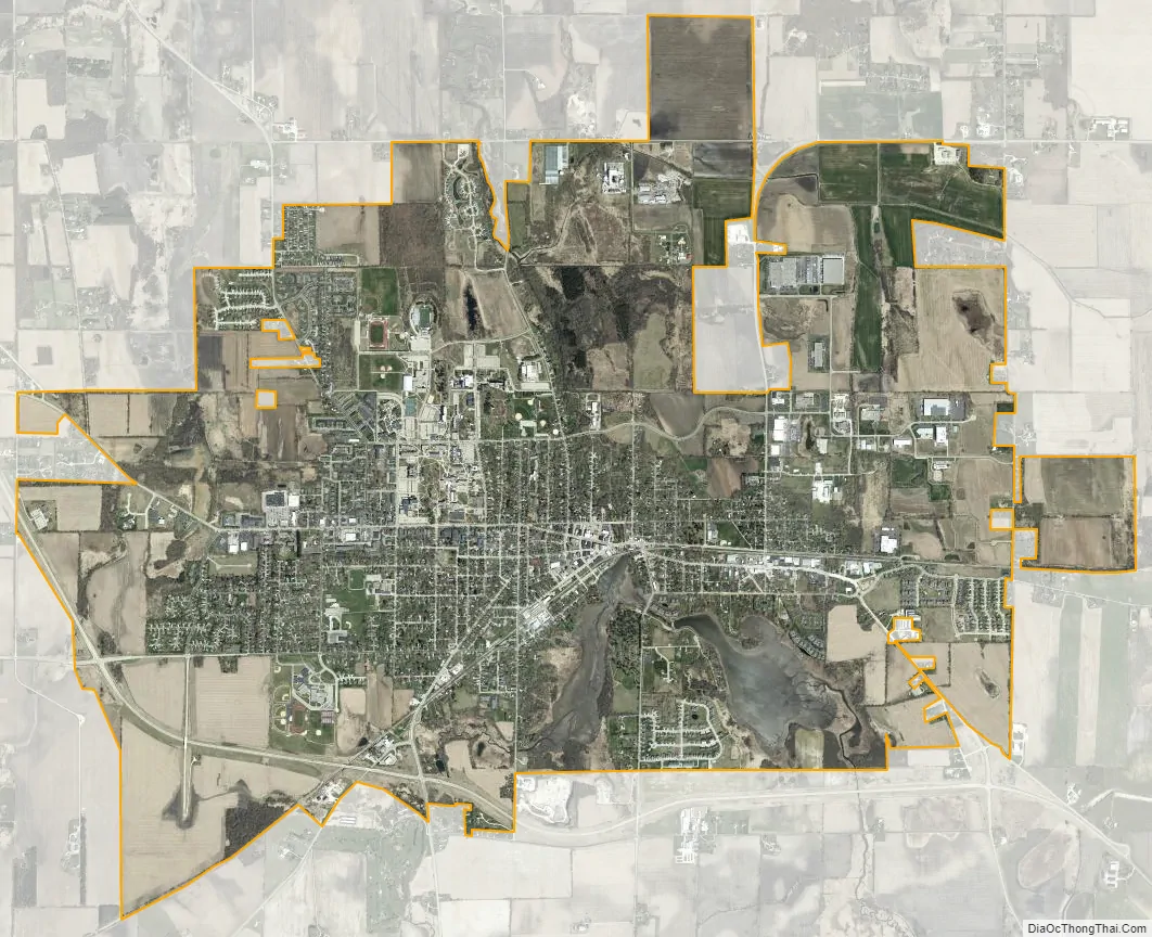
Whitewater city Satellite Map
Geography
According to the United States Census Bureau, the city has a total area of 9.06 square miles (23.47 km), of which, 8.76 square miles (22.69 km) is land and 0.30 square miles (0.78 km) is water. Most of the city lies in Walworth County.
See also
Map of Wisconsin State and its subdivision:- Adams
- Ashland
- Barron
- Bayfield
- Brown
- Buffalo
- Burnett
- Calumet
- Chippewa
- Clark
- Columbia
- Crawford
- Dane
- Dodge
- Door
- Douglas
- Dunn
- Eau Claire
- Florence
- Fond du Lac
- Forest
- Grant
- Green
- Green Lake
- Iowa
- Iron
- Jackson
- Jefferson
- Juneau
- Kenosha
- Kewaunee
- La Crosse
- Lafayette
- Lake Michigan
- Lake Superior
- Langlade
- Lincoln
- Manitowoc
- Marathon
- Marinette
- Marquette
- Menominee
- Milwaukee
- Monroe
- Oconto
- Oneida
- Outagamie
- Ozaukee
- Pepin
- Pierce
- Polk
- Portage
- Price
- Racine
- Richland
- Rock
- Rusk
- Saint Croix
- Sauk
- Sawyer
- Shawano
- Sheboygan
- Taylor
- Trempealeau
- Vernon
- Vilas
- Walworth
- Washburn
- Washington
- Waukesha
- Waupaca
- Waushara
- Winnebago
- Wood
- Alabama
- Alaska
- Arizona
- Arkansas
- California
- Colorado
- Connecticut
- Delaware
- District of Columbia
- Florida
- Georgia
- Hawaii
- Idaho
- Illinois
- Indiana
- Iowa
- Kansas
- Kentucky
- Louisiana
- Maine
- Maryland
- Massachusetts
- Michigan
- Minnesota
- Mississippi
- Missouri
- Montana
- Nebraska
- Nevada
- New Hampshire
- New Jersey
- New Mexico
- New York
- North Carolina
- North Dakota
- Ohio
- Oklahoma
- Oregon
- Pennsylvania
- Rhode Island
- South Carolina
- South Dakota
- Tennessee
- Texas
- Utah
- Vermont
- Virginia
- Washington
- West Virginia
- Wisconsin
- Wyoming