Camden is the largest city and county seat of Kershaw County, South Carolina. The population was 7,764 in the 2020 census. It is part of the Columbia, South Carolina, Metropolitan Statistical Area. Camden is the oldest inland city in South Carolina, and home to the Carolina Cup and the National Steeplechase Museum.
| Name: | Camden city |
|---|---|
| LSAD Code: | 25 |
| LSAD Description: | city (suffix) |
| State: | South Carolina |
| County: | Kershaw County |
| Founded: | March 22, 1786 |
| Elevation: | 187 ft (57 m) |
| Total Area: | 11.90 sq mi (30.82 km²) |
| Land Area: | 11.11 sq mi (28.77 km²) |
| Water Area: | 0.79 sq mi (2.05 km²) |
| Total Population: | 7,788 |
| Population Density: | 701.18/sq mi (270.72/km²) |
| ZIP code: | 29020 & 29021 |
| Area code: | 803, 839 |
| FIPS code: | 4510855 |
| GNISfeature ID: | 1247113 |
| Website: | cityofcamden.org |
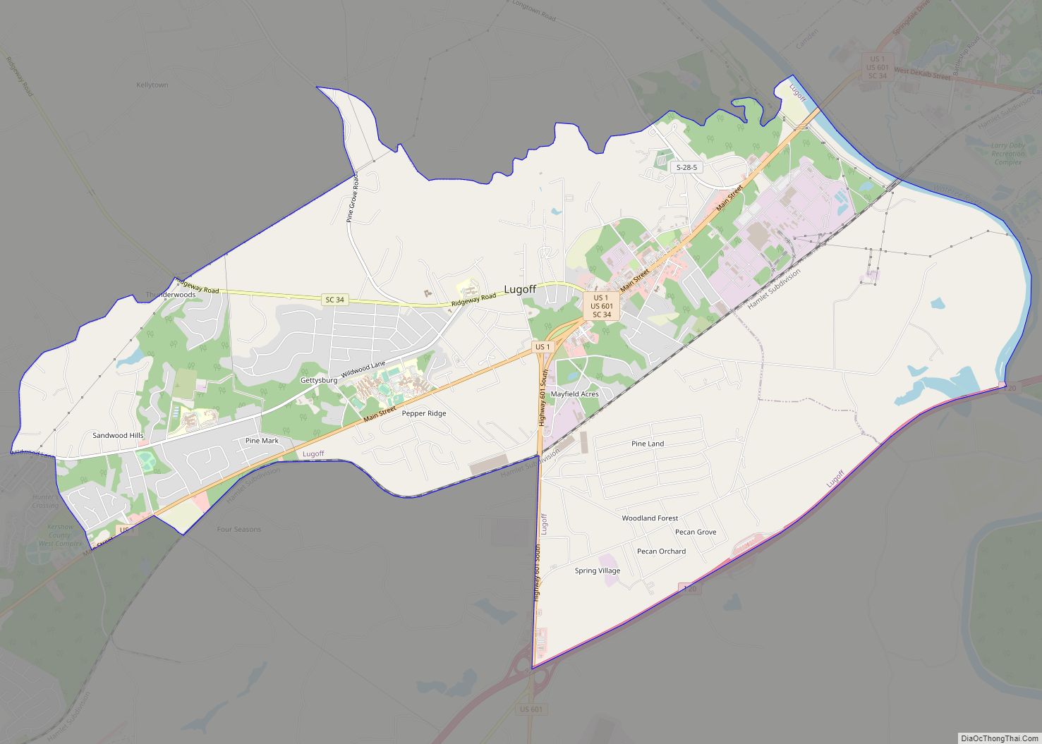
Online Interactive Map
Click on ![]() to view map in "full screen" mode.
to view map in "full screen" mode.
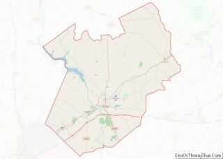
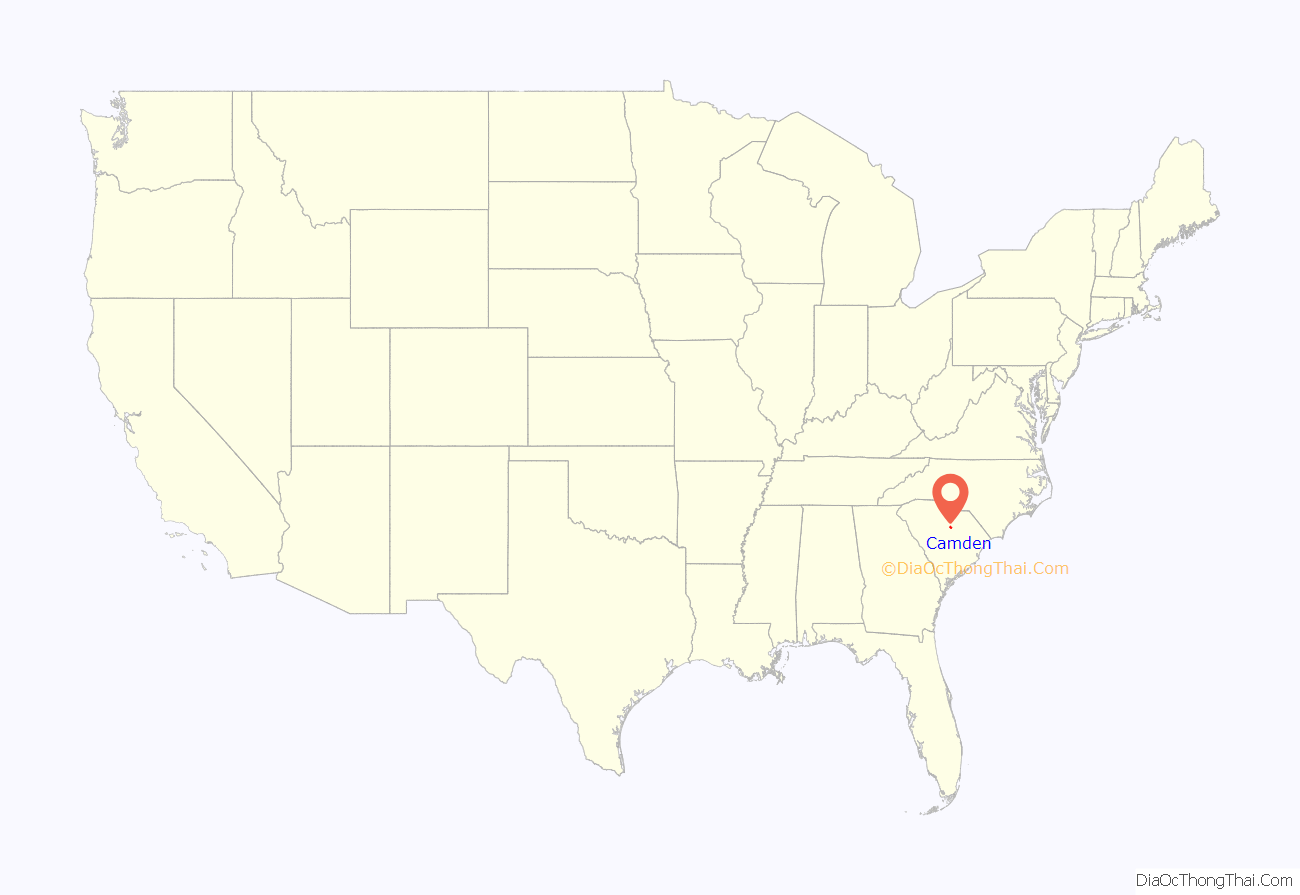
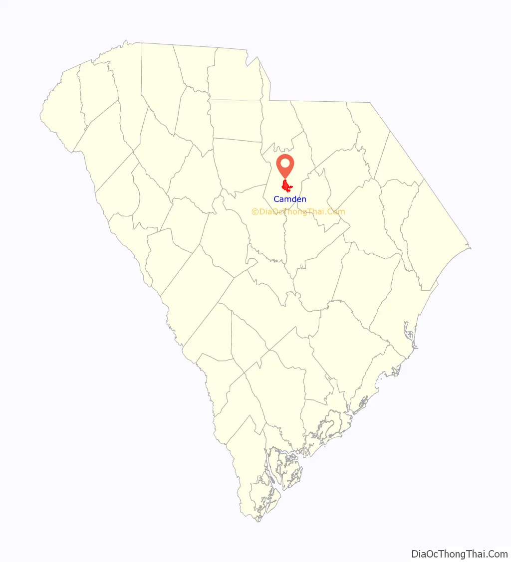
Camden location map. Where is Camden city?
History
Colonial years
Camden is the oldest inland city and the fourth oldest city in South Carolina. It is near the center of the Cofitachequi chiefdom that existed in the 1500s. In 1730, Camden became part of a township plan ordered by King George II. Kershaw County’s official website states, “Originally laid out in 1732 as the town of Fredericksburg in the Wateree River swamp (south of the present town) when King George II ordered eleven inland townships established along South Carolina’s rivers, few of the area settlers chose to take lots surveyed in the town, choosing the higher ground to the north. The township soon disappeared.” In 1758, Joseph Kershaw from Yorkshire, England, came into the township, established a store and renamed the town “Pine Tree Hill”. Camden became the main inland trade center in the colony. Kershaw suggested that the town be renamed Camden, in honor of Lord Camden, a champion of colonial rights in the British Parliament. In the 1770s it was the site of an early American porcelain factory, established by John Bartlam.
American Revolution and antebellum era
May 1780 brought the American Revolution to Charleston, South Carolina, when it fell under the Crown’s control. Lord Charles Cornwallis and 2,500 of his Loyalist and British troops marched to Camden and established there the main British supply post for the Southern campaign. The Battle of Camden, the worst American defeat of the Revolution, was fought on August 16, 1780, near Camden, and on April 25, 1781, the Battle of Hobkirk’s Hill was fought between about 1,400 troops led by General Nathanael Greene and 950 Loyalists and British soldiers led by Lord Francis Rawdon. The latter battle was a costly win for the British and forced them to leave Camden and retreat to the coast.
After the Revolution, Camden’s prominence and wealth grew as a major interior trading town with direct ties to Charleston and the world. Regional products, augmented with goods from the interior of North Carolina and far lands to the west were transported from Camden to Charleston on flat-bottom riverboats that plied the adjacent Wateree River before the railroad arrived in 1842. An Episcopal seminary opened in the town in 1857, but the campus burned during Sherman’s invasion. The school did not reopen.
American Civil War and later years
Camden was the source of six Confederate generals during the American Civil War. Richard Rowland Kirkland – “The Angel of Marye’s Heights” – is interred in the Old Quaker Cemetery. At the end of the war, components of Sherman’s army burned Confederate and nearby properties, including a full block of downtown buildings. The last Federal officer killed in the Civil War was 1st Lt E.L. Stevens of the 54th Massachusetts Infantry who died in a skirmish 9 miles south of Camden at the Battle of Boykin’s Mill on April 18, 1865.
Starting in the mid-1880s the Camden area became an increasingly popular destination for wealthy northern families to spend the winter. Eventually, three resort hotels provided winter tourism activities well into the 1930s and beyond. The town became associated with many equestrian activities and is now the home of the third oldest active polo field in America. In the winter, more than 1,500 thoroughbreds call the area home. According to Kershaw County’s web site, “Horse-related activities became very popular. That interest in equine activities has continued and today the horse industry is a major part of the county’s economy. For that reason, the city is known as the ‘Steeplechase Capital of the World’.”
In 1950, Dupont opened the Dupont May Plant in Camden which manufactured Orlon. The plant was located on five miles of land and employed over 2,000 people. For many years it was the town’s largest employer. In 1977, DuPont notified the National Institute for Occupational Safety and Health of a study the company conducted which showed an “excessive incidence and cancer mortality” rate among a cohort of workers who worked at the plant from 1950 to 1955. The findings were liked to a major chemical component of Orlon, acrylonitrile. Citing issues with foreign competition, Dupont ended the production of Orlon in 1990. Since the closure of the Orlon plant, the town has attracted a number of manufacturing companies such as Hengst GmbH & Co. and Haier. In 2003, Target opened an $85 million distribution center in the town.
Jewish community
Camden has long had a Jewish community. Members of the community have included David Camden de Leon, Mordecai M. Levy, Chapman Levy, and Bernard Baruch.
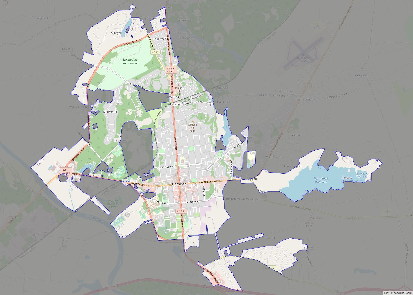
Camden Road Map
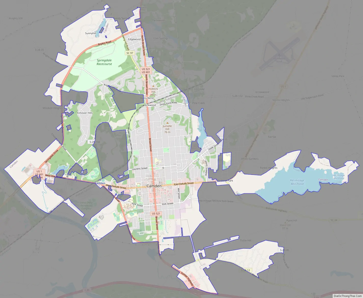
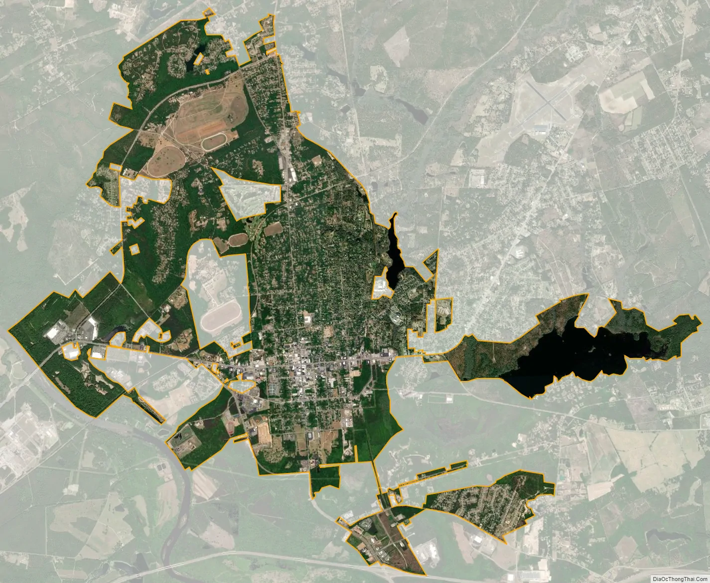
Camden city Satellite Map
Geography
Camden is located in the Midlands of South Carolina, in the south-central part of Kershaw County. It sits on the northeast side of the Wateree River, a south-flowing tributary of the Santee River. According to the United States Census Bureau, Camden has a total area of 11.39 square miles (29.49 km), of which 10.68 square miles (27.66 km) are land and 0.71 square miles (1.83 km), or 6.21%, are water.
U.S. Route 521 runs through downtown as Broad Street, leading 29 miles (47 km) southeast to Sumter, and 76 miles (122 km) north to Charlotte, North Carolina. US 601 runs with US 521 through downtown, leading 21 miles (34 km) north with US 521 to Kershaw, and south on its own 50 miles (80 km) to St. Matthews and 63 miles (101 km) to Orangeburg. US Route 1 (DeKalb Street) intersects with US 521 and 601 in downtown, leading 32 miles (51 km) southwest to the state capital, Columbia, and 61 miles (98 km) northeast to Cheraw. Interstate 20 passes 2 miles (3 km) south of the city’s center; it leads east 50 miles (80 km) to Florence and southwest to Columbia.
Neighborhoods
- East Camden
- Knights Hill
- Dusty Bend
- Windsor Heights
- White Gardens
- Arrowwood
- The RaceTracks
See also
Map of South Carolina State and its subdivision:- Abbeville
- Aiken
- Allendale
- Anderson
- Bamberg
- Barnwell
- Beaufort
- Berkeley
- Calhoun
- Charleston
- Cherokee
- Chester
- Chesterfield
- Clarendon
- Colleton
- Darlington
- Dillon
- Dorchester
- Edgefield
- Fairfield
- Florence
- Georgetown
- Greenville
- Greenwood
- Hampton
- Horry
- Jasper
- Kershaw
- Lancaster
- Laurens
- Lee
- Lexington
- Marion
- Marlboro
- McCormick
- Newberry
- Oconee
- Orangeburg
- Pickens
- Richland
- Saluda
- Spartanburg
- Sumter
- Union
- Williamsburg
- York
- Alabama
- Alaska
- Arizona
- Arkansas
- California
- Colorado
- Connecticut
- Delaware
- District of Columbia
- Florida
- Georgia
- Hawaii
- Idaho
- Illinois
- Indiana
- Iowa
- Kansas
- Kentucky
- Louisiana
- Maine
- Maryland
- Massachusetts
- Michigan
- Minnesota
- Mississippi
- Missouri
- Montana
- Nebraska
- Nevada
- New Hampshire
- New Jersey
- New Mexico
- New York
- North Carolina
- North Dakota
- Ohio
- Oklahoma
- Oregon
- Pennsylvania
- Rhode Island
- South Carolina
- South Dakota
- Tennessee
- Texas
- Utah
- Vermont
- Virginia
- Washington
- West Virginia
- Wisconsin
- Wyoming