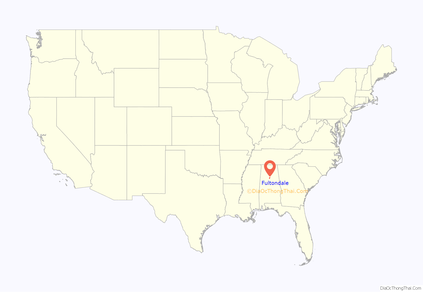
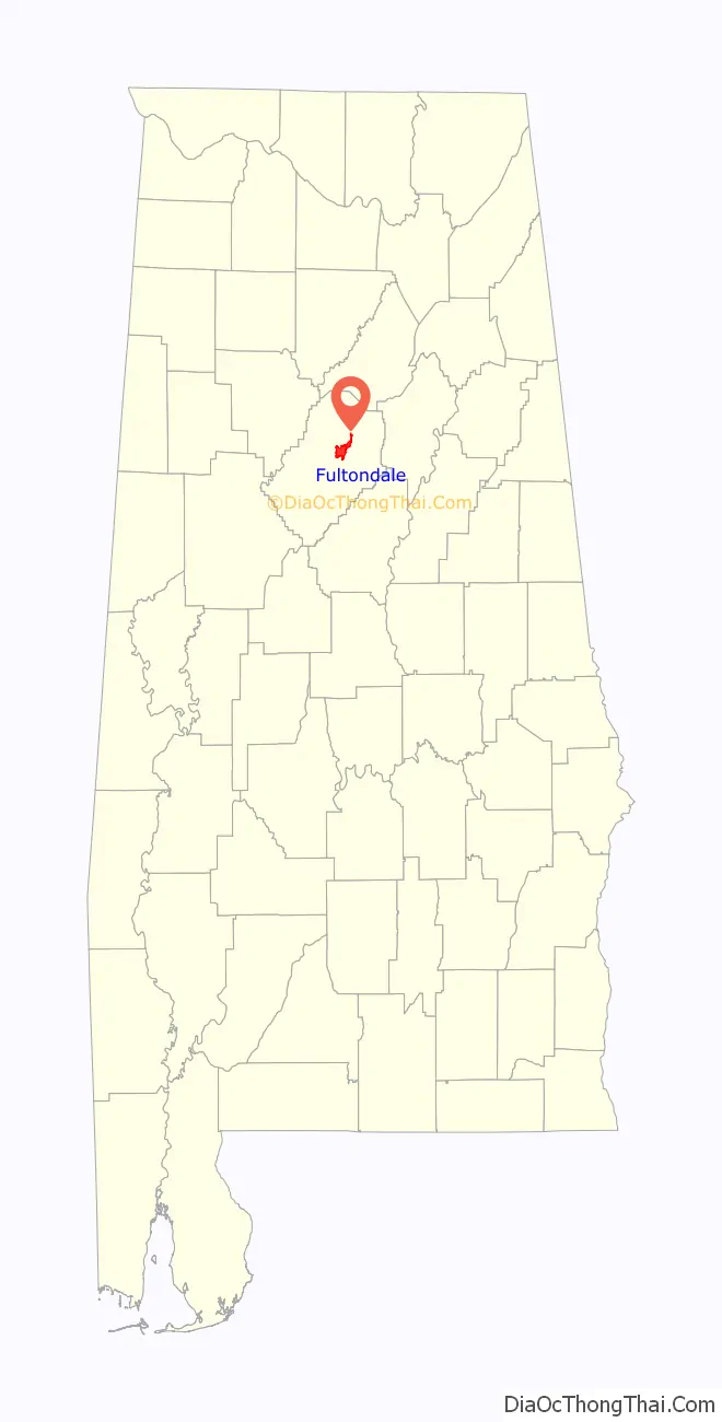
Fultondale is a city in Jefferson County, Alabama, United States and a northern suburb of Birmingham. As of the 2010 census, the population of the city is 8,380.
| Name: | Fultondale city |
|---|---|
| LSAD Code: | 25 |
| LSAD Description: | city (suffix) |
| State: | Alabama |
| County: | Jefferson County |
| Elevation: | 505 ft (154 m) |
| Total Area: | 12.14 sq mi (31.43 km²) |
| Land Area: | 12.14 sq mi (31.43 km²) |
| Water Area: | 0.00 sq mi (0.00 km²) |
| Total Population: | 9,876 |
| Population Density: | 813.78/sq mi (314.19/km²) |
| ZIP code: | 35068 |
| Area code: | 205 & 659 |
| FIPS code: | 0128552 |
| GNISfeature ID: | 2403671 |
Online Interactive Map
Click on ![]() to view map in "full screen" mode.
to view map in "full screen" mode.
Fultondale location map. Where is Fultondale city?
History
Fulton was a mining town in the 1900s. Fulton was incorporated in 1947. The town’s name is derived from the combination of the names of two nearby communities, Fulton Springs and Glendale.
This area was once known as Fulton Springs. Prior to the building of Interstate 65, US 31 was the main route for travelers northbound from Birmingham towards Nashville, Tennessee. As a result, hotels such as the Keystone Lodge and Buchmann Motor Inn prospered. On the city’s southern edge was located one of the few drive-in theatres in the Birmingham area (the “Skyview”). This was torn down when I-65 was built in the late 1960s and early 1970s. The Pine Bowl bowling alley is still a long time fixture in the city. Traces of the old routing of US 31 are still noticeable in the city. From just south of the city hall to an old bridge on this city’s northern side, most of this old routing is known as Stouts Road or in some cases simply “old US 31.”
Fultondale was a relatively stagnant community until the last decade. Growth has occurred in residential areas mainly west of Interstate 65, while retail development has focused along and near the I-65/Walkers Chapel Road exit.
In the early 2000s, the Chapel Hills subdivision was begun on the west side of I-65 off of Ellard Road. In the years following, other new subdivisions have been built off of US Highway 31 including Black Creek Station, Town Square, and Fulton Springs.
On January 25, 2021, an EF3 tornado impacted Fultondale causing significant structural damage to numerous homes, vehicles, and businesses with several being severely damaged or destroyed. One person was killed and 30 others were injured.
Fultondale Road Map

Fultondale city Satellite Map

Geography
According to the U.S. Census Bureau, the city has a total area of 12.2 square miles (32 km), all land. Fultondale is located along one of the many ridgelines that comprise the southern end of the Appalachian Mountain chain. The area has been thoroughly mined for coal and other minerals in the past 100 years. The city is served by two major north–south highways, Interstate 65 and US Highway 31. The new Interstate 22 encroaches on the city’s western edge and on June 20, 2016, the interchange with I-65 just south of Fultondale opened. I-22 will provide direct interstate access to Memphis, Tennessee. Upon completion of Interstate 22, Fultondale will become the fourth Alabama city (after Birmingham, Montgomery, and Mobile) to be directly served by more than one two-digit interstate highway (I-65 & I-22). The only east/west thoroughfare of note is Walkers Chapel Road (west of US 31) and New Castle Road (east of US 31). Rail lines run north–south along the city’s eastern edge from Boyles Yard in Tarrant to points north and east. Air travel is available from nearby Birmingham International Airport.
See also
Map of Alabama State and its subdivision:- Autauga
- Baldwin
- Barbour
- Bibb
- Blount
- Bullock
- Butler
- Calhoun
- Chambers
- Cherokee
- Chilton
- Choctaw
- Clarke
- Clay
- Cleburne
- Coffee
- Colbert
- Conecuh
- Coosa
- Covington
- Crenshaw
- Cullman
- Dale
- Dallas
- De Kalb
- Elmore
- Escambia
- Etowah
- Fayette
- Franklin
- Geneva
- Greene
- Hale
- Henry
- Houston
- Jackson
- Jefferson
- Lamar
- Lauderdale
- Lawrence
- Lee
- Limestone
- Lowndes
- Macon
- Madison
- Marengo
- Marion
- Marshall
- Mobile
- Monroe
- Montgomery
- Morgan
- Perry
- Pickens
- Pike
- Randolph
- Russell
- Saint Clair
- Shelby
- Sumter
- Talladega
- Tallapoosa
- Tuscaloosa
- Walker
- Washington
- Wilcox
- Winston
- Alabama
- Alaska
- Arizona
- Arkansas
- California
- Colorado
- Connecticut
- Delaware
- District of Columbia
- Florida
- Georgia
- Hawaii
- Idaho
- Illinois
- Indiana
- Iowa
- Kansas
- Kentucky
- Louisiana
- Maine
- Maryland
- Massachusetts
- Michigan
- Minnesota
- Mississippi
- Missouri
- Montana
- Nebraska
- Nevada
- New Hampshire
- New Jersey
- New Mexico
- New York
- North Carolina
- North Dakota
- Ohio
- Oklahoma
- Oregon
- Pennsylvania
- Rhode Island
- South Carolina
- South Dakota
- Tennessee
- Texas
- Utah
- Vermont
- Virginia
- Washington
- West Virginia
- Wisconsin
- Wyoming


