Downieville is a census-designated place in and the county seat of Sierra County, California, United States. Downieville is on the North Fork of the Yuba River, at an elevation of 2,966 feet (904 m). The 2020 United States census reported Downieville’s population was 290.
| Name: | Downieville CDP |
|---|---|
| LSAD Code: | 57 |
| LSAD Description: | CDP (suffix) |
| State: | California |
| County: | Sierra County |
| Elevation: | 2,966 ft (904 m) |
| Total Area: | 3.19 sq mi (8.25 km²) |
| Land Area: | 3.18 sq mi (8.24 km²) |
| Water Area: | 0.01 sq mi (0.01 km²) 0.17% |
| Total Population: | 290 |
| Population Density: | 91.17/sq mi (35.20/km²) |
| ZIP code: | 95936 |
| Area code: | 530 |
| FIPS code: | 0619794 |
| GNISfeature ID: | 2583000 |
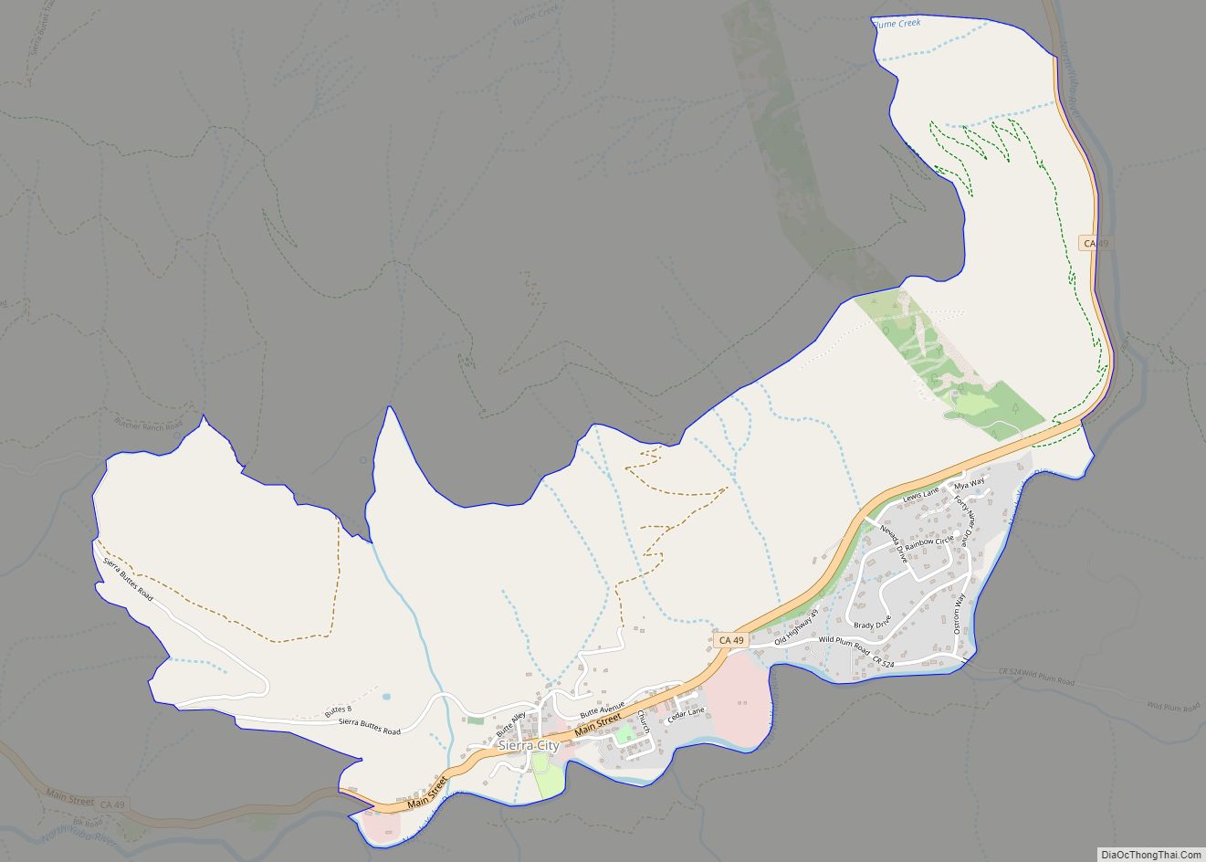
Online Interactive Map
Click on ![]() to view map in "full screen" mode.
to view map in "full screen" mode.
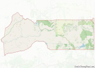
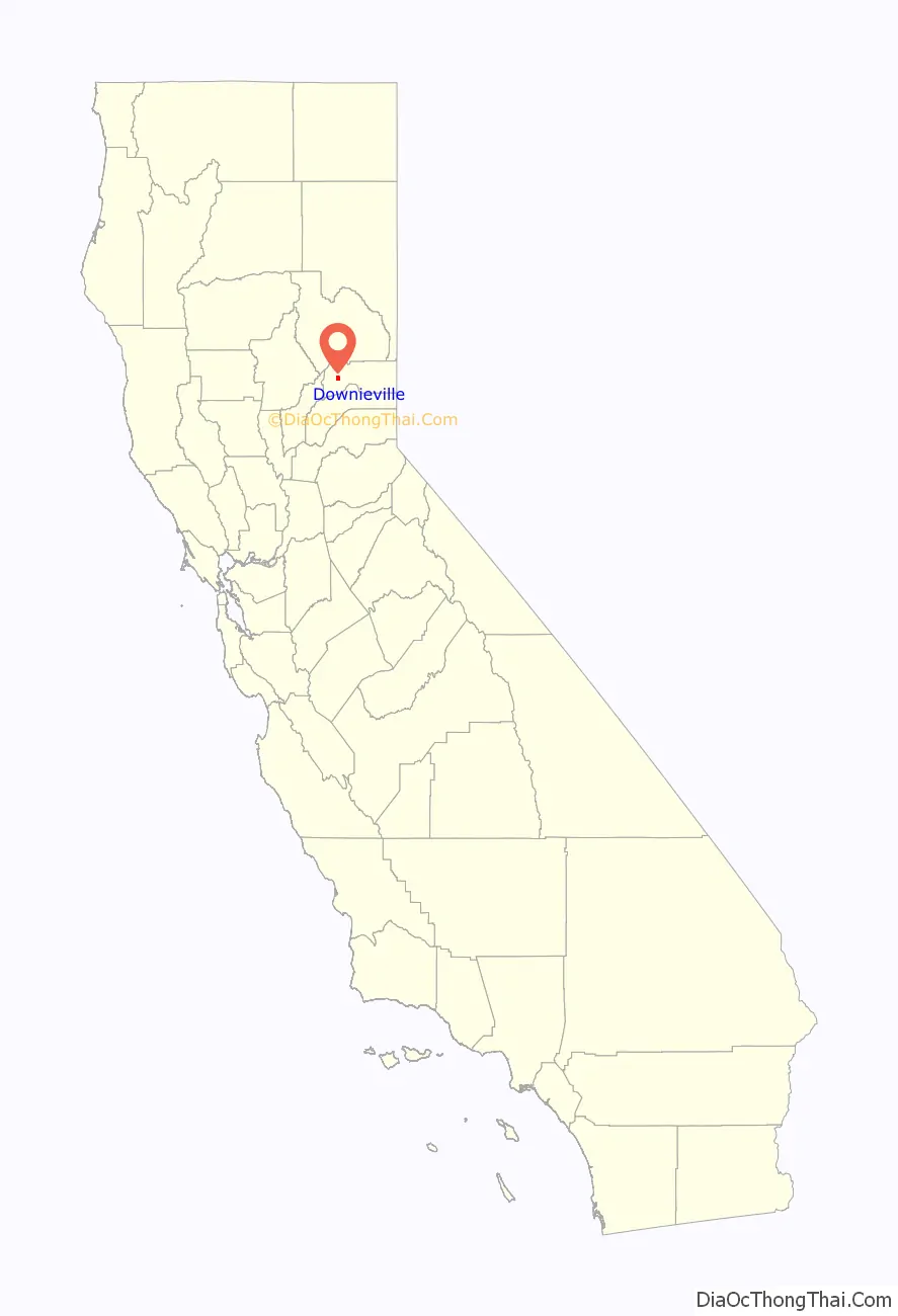
Downieville location map. Where is Downieville CDP?

History
Gold was discovered here by Francis Anderson on September 14, 1849. Anderson had joined Phil A. Haven that same year along the North Yuba River.
Downieville was founded in late 1849 during the California Gold Rush, in the Northern Mines area. It was first known as “The Forks” for its geographical location at the confluence of the Downie River and North Fork of the Yuba River.
It was soon renamed after Major William Downie (1820-1893), the town’s founder. Downie was a Scotsman who had led an expedition of nine miners, seven of them African American men, up the North Fork of the Yuba River in the Autumn of 1849. At the present site of the town they struck rich gold, built a log cabin, and settled in to wait out the winter. By 1850, Downieville had 15 hotels, 4 bakeries, 4 butcher shops, and numerous saloons.
Josefa Segovia, a young Californio resident of the town, was lynched by a mob on July 5, 1851. The lynch mob held a mock trial, and accused her of killing an American miner. The mock trial quickly led to hanging her from the Jersey Bridge in town. Segovia was the first and only hanging of a woman in the history of California.
In 1853 Downieville was vying to become the new state capital of California, along with fifteen other California communities to replace Vallejo. The capital was moved to Benicia for a year, and then in 1854 to Sacramento.
The Northern Mines area of the gold rush had a number of mining camps with colorful names, such as Brandy City (originally known as Strychnine City), Whiskey Diggins, Poverty Hill, Poker Flat, and Camptonville. Many of these camps disappeared after the gold rush or became ghost towns. Downieville had reached a peak population of over 5,000 people in 1851, but by 1865 had significantly declined. It survived due to its status as the county seat of government in Sierra County, and from its geographic location between Sacramento Valley and Tahoe region/Nevada destinations.
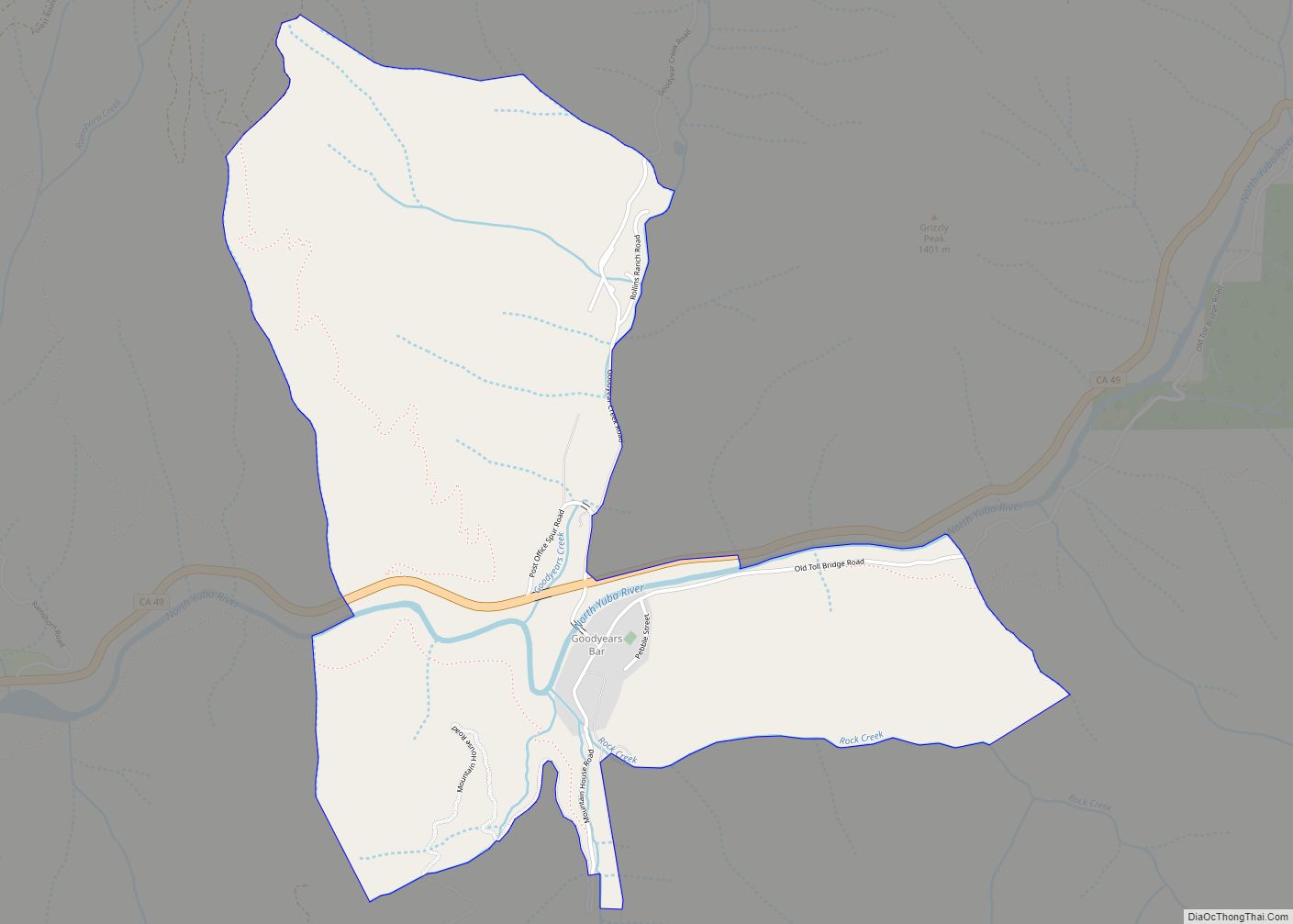
Downieville Road Map
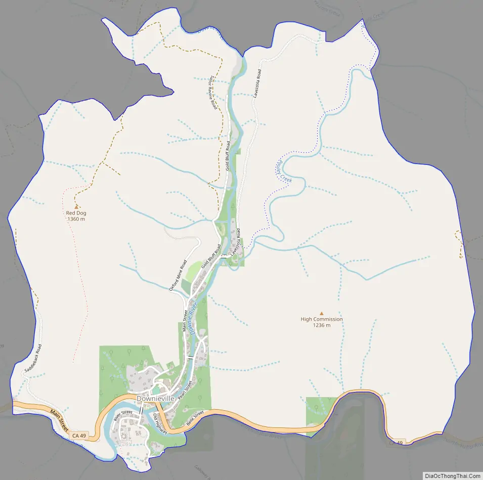
Downieville city Satellite Map

Geography
According to the United States Census Bureau, the CDP covers an area of 3.2 square miles (8.3 km), 99.83% of it land and 0.17% of it water. Most of the town is built on riverwash soils; higher locations are on Hurlbut gravelly loam or Deadwood gravelly sandy loam.
Climate
This region experiences warm (but not hot) and dry summers, with no average monthly temperatures above 71.6 °F or 22.0 °C. According to the Köppen Climate Classification system, Downieville has a warm-summer Mediterranean climate, abbreviated Csb on climate maps.
See also
Map of California State and its subdivision:- Alameda
- Alpine
- Amador
- Butte
- Calaveras
- Colusa
- Contra Costa
- Del Norte
- El Dorado
- Fresno
- Glenn
- Humboldt
- Imperial
- Inyo
- Kern
- Kings
- Lake
- Lassen
- Los Angeles
- Madera
- Marin
- Mariposa
- Mendocino
- Merced
- Modoc
- Mono
- Monterey
- Napa
- Nevada
- Orange
- Placer
- Plumas
- Riverside
- Sacramento
- San Benito
- San Bernardino
- San Diego
- San Francisco
- San Joaquin
- San Luis Obispo
- San Mateo
- Santa Barbara
- Santa Clara
- Santa Cruz
- Shasta
- Sierra
- Siskiyou
- Solano
- Sonoma
- Stanislaus
- Sutter
- Tehama
- Trinity
- Tulare
- Tuolumne
- Ventura
- Yolo
- Yuba
- Alabama
- Alaska
- Arizona
- Arkansas
- California
- Colorado
- Connecticut
- Delaware
- District of Columbia
- Florida
- Georgia
- Hawaii
- Idaho
- Illinois
- Indiana
- Iowa
- Kansas
- Kentucky
- Louisiana
- Maine
- Maryland
- Massachusetts
- Michigan
- Minnesota
- Mississippi
- Missouri
- Montana
- Nebraska
- Nevada
- New Hampshire
- New Jersey
- New Mexico
- New York
- North Carolina
- North Dakota
- Ohio
- Oklahoma
- Oregon
- Pennsylvania
- Rhode Island
- South Carolina
- South Dakota
- Tennessee
- Texas
- Utah
- Vermont
- Virginia
- Washington
- West Virginia
- Wisconsin
- Wyoming