Cloverdale is a city in Sonoma County, California, United States; it is both the westernmost and the northernmost city in the San Francisco Bay Area. The San Francisco and North Pacific Railroad reached Cloverdale in 1872. The Cloverdale Rancheria of Pomo Indians of California is headquartered there. The population was 8,618 at the 2010 census.
| Name: | Cloverdale city |
|---|---|
| LSAD Code: | 25 |
| LSAD Description: | city (suffix) |
| State: | California |
| County: | Sonoma County |
| Incorporated: | February 28, 1872 |
| Elevation: | 335 ft (102 m) |
| Total Area: | 3.13 sq mi (8.12 km²) |
| Land Area: | 3.13 sq mi (8.12 km²) |
| Water Area: | 0.00 sq mi (0.00 km²) 0% |
| Total Population: | 8,996 |
| Population Density: | 2,869.54/sq mi (1,107.82/km²) |
| ZIP code: | 95425 |
| Area code: | 707 |
| FIPS code: | 0614190 |
| Website: | www.cloverdale.net |
Online Interactive Map
Click on ![]() to view map in "full screen" mode.
to view map in "full screen" mode.
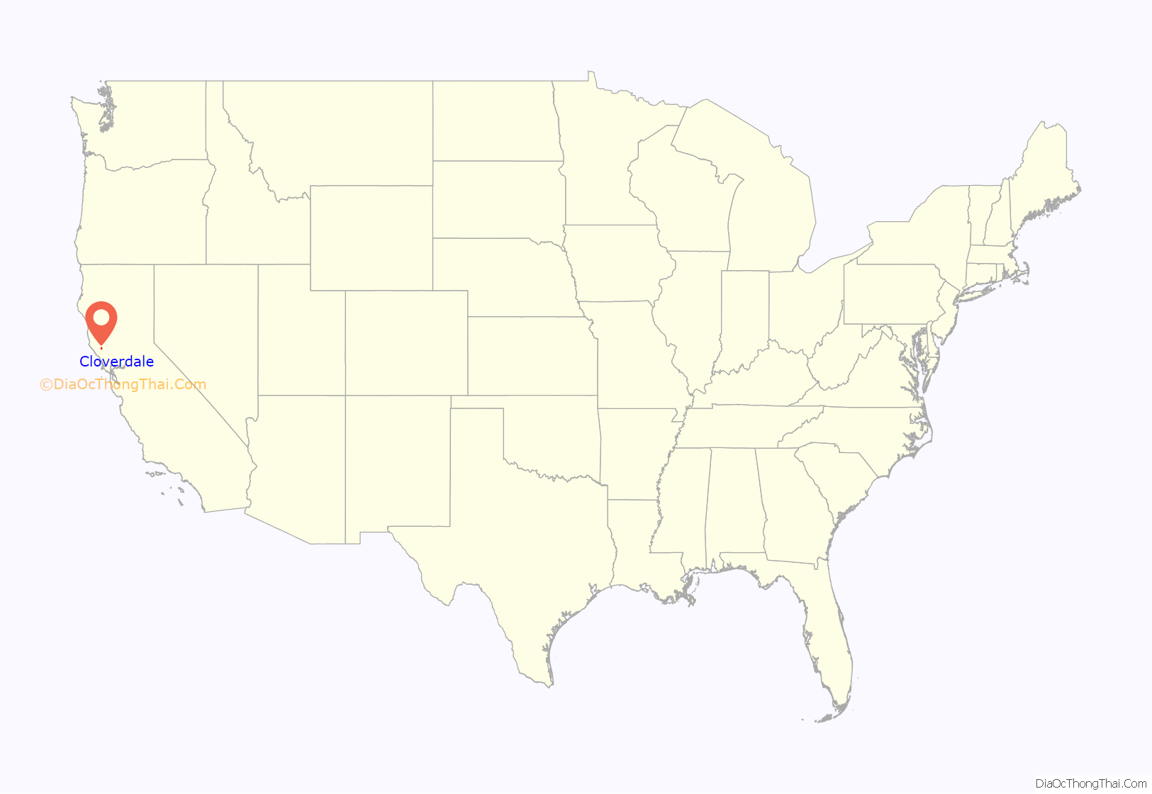
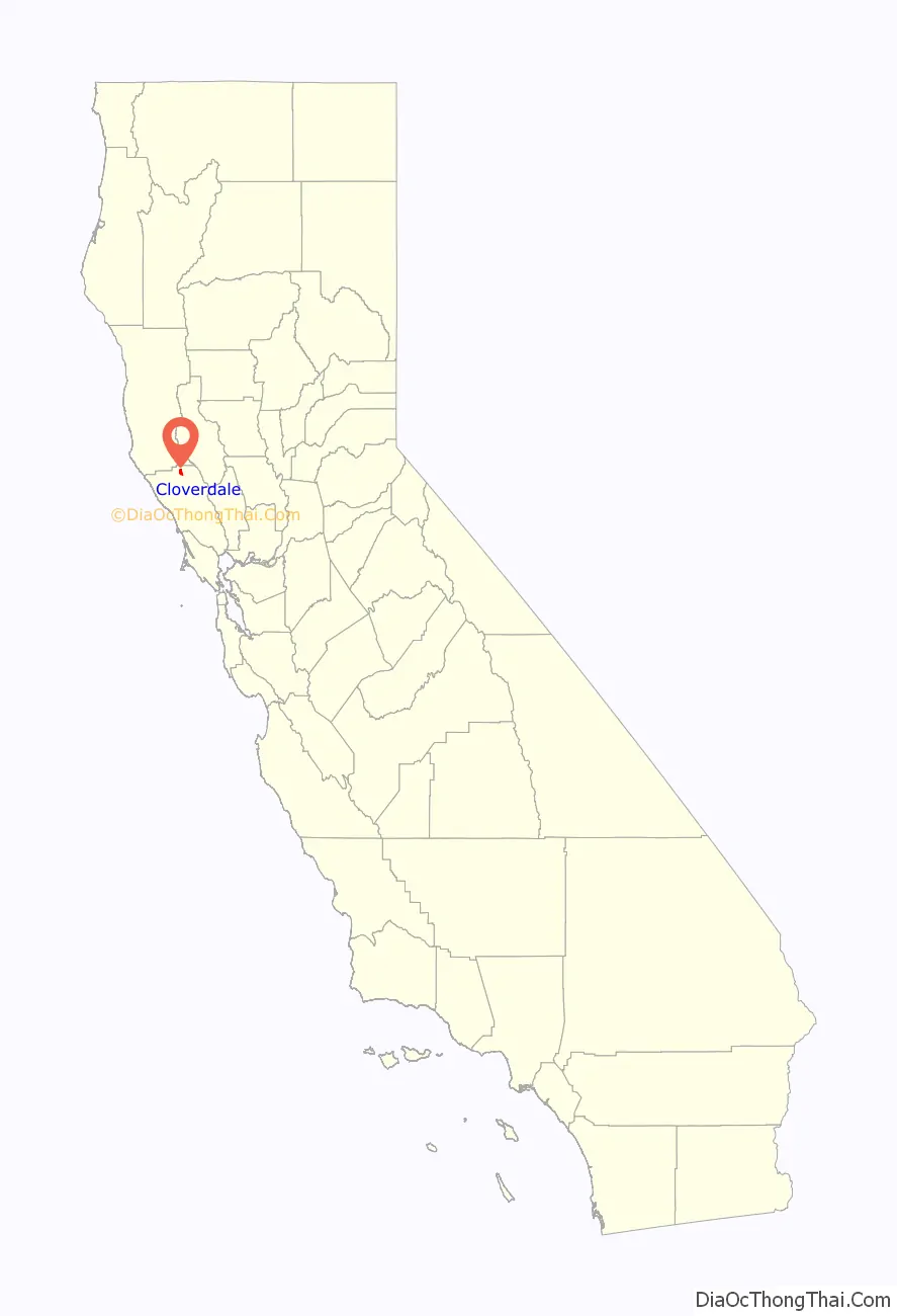
Cloverdale location map. Where is Cloverdale city?
History
Cloverdale began as an early stagecoach stop, known as Markleville, on the Rancho Rincon de Musalacon Mexican grant. In 1856, R.B. Markle and W.J. Miller bought 759 acres (3.1 km), which included the present site of the town, from Johnson Horrell. In 1859, James Abram Kleiser bought Markle’s interest, and the town was laid out. The town was incorporated when the San Francisco and North Pacific Railroad arrived in 1872. By 1878, the railroad service provided three trains a day between Cloverdale and Ferries of San Francisco Bay.
In 1881, Jules Leroux and Armand Dehay established a colony south of Cloverdale named “Icaria Speranza”, based on the French Utopian movement, the Icarians. The settlement ended in 1886 and today, there is a marker south of town where the schoolhouse was located.
Cloverdale suffered severe economic hardship, losing 500 to 600 manufacturing jobs between 1988 and 1994, with the closing of a fire equipment factory and the shrinking of the logging industry. On July 6, 2005, Cloverdale began its economic reform with the “RTB” (Real-Estate Transfer Bureau) plan granting money for businesses and commerce to return to the city. This plan fell through as the grant was moved to Los Altos, California and changed to the “1750” plan. In 1993, 300 jobs were eliminated alone when Louisiana-Pacific closed its lumber mill. In 1994, Highway 101, which formerly bisected the town, was rerouted around town with a bypass. Some businesses closed, and many natives believed the bypass radically changed the town’s character.
Since the bypass, signs of civic revival have occurred with the development of pedestrian-friendly sidewalks, a performing arts center, a brewpub, and a downtown plaza hosting live concerts and a farmers’ market. In 1997, Clover Springs, a development with 362 houses, was opened on the south end of town. In 2011, the Sonoma County Agricultural Preservation and Open Space District transferred 250 acres (1.0 km) of former ranchland to the City of Cloverdale for use as a park and open-space preserve.
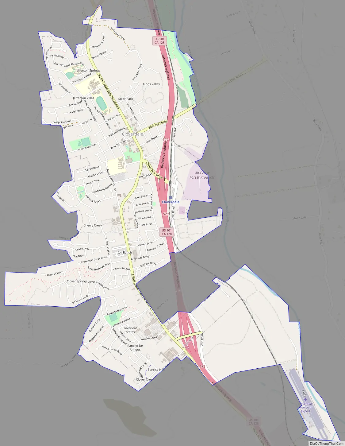
Cloverdale Road Map
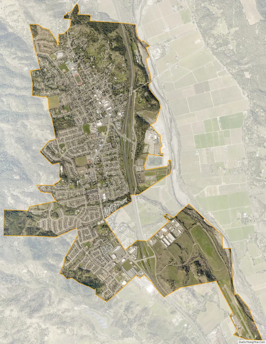
Cloverdale city Satellite Map
Geography
Cloverdale is located in the northern portion of Sonoma County, about 85 miles (135 km) north of San Francisco; it is both the northernmost and westernmost city of the San Francisco Bay Area.
The city has a total area of 2.6 square miles (6.7 km), all of it land.
Cloverdale is located in Wine Country, being part of the Alexander Valley AVA.
Climate
According to the Köppen Climate Classification system, Cloverdale has a hot-summer Mediterranean climate, abbreviated “Csa” on climate maps. Temperatures in Cloverdale can exceed 100 °F (38 °C) and it is known for having hot, dry summers relative to the rest of Sonoma County.
See also
Map of California State and its subdivision:- Alameda
- Alpine
- Amador
- Butte
- Calaveras
- Colusa
- Contra Costa
- Del Norte
- El Dorado
- Fresno
- Glenn
- Humboldt
- Imperial
- Inyo
- Kern
- Kings
- Lake
- Lassen
- Los Angeles
- Madera
- Marin
- Mariposa
- Mendocino
- Merced
- Modoc
- Mono
- Monterey
- Napa
- Nevada
- Orange
- Placer
- Plumas
- Riverside
- Sacramento
- San Benito
- San Bernardino
- San Diego
- San Francisco
- San Joaquin
- San Luis Obispo
- San Mateo
- Santa Barbara
- Santa Clara
- Santa Cruz
- Shasta
- Sierra
- Siskiyou
- Solano
- Sonoma
- Stanislaus
- Sutter
- Tehama
- Trinity
- Tulare
- Tuolumne
- Ventura
- Yolo
- Yuba
- Alabama
- Alaska
- Arizona
- Arkansas
- California
- Colorado
- Connecticut
- Delaware
- District of Columbia
- Florida
- Georgia
- Hawaii
- Idaho
- Illinois
- Indiana
- Iowa
- Kansas
- Kentucky
- Louisiana
- Maine
- Maryland
- Massachusetts
- Michigan
- Minnesota
- Mississippi
- Missouri
- Montana
- Nebraska
- Nevada
- New Hampshire
- New Jersey
- New Mexico
- New York
- North Carolina
- North Dakota
- Ohio
- Oklahoma
- Oregon
- Pennsylvania
- Rhode Island
- South Carolina
- South Dakota
- Tennessee
- Texas
- Utah
- Vermont
- Virginia
- Washington
- West Virginia
- Wisconsin
- Wyoming


