Sebastopol (/sɪˈbæstəpoʊl, -puːl/ sib-AST-ə-pohl, -pool) is a city in Sonoma County, in California with a recorded population of 7,521, per the 2020 U.S. Census.
Sebastopol was once primarily a plum and apple-growing region. Today, wine grapes are the predominant agriculture crop, and nearly all lands once used for orchards are now vineyards. The creation of The Barlow, a $23.5 million strip mall on a floodplain at the edge of town, converting old agriculture warehouses into a trendy marketplace for fine dining, tasting rooms, and art, has made Sebastopol a popular Wine Country destination.
Famous horticulturist Luther Burbank had gardens in this region. The city hosts an annual Apple Blossom Festival in April and is home to the Sebastopol Documentary Film Festival.
| Name: | Sebastopol city |
|---|---|
| LSAD Code: | 25 |
| LSAD Description: | city (suffix) |
| State: | California |
| County: | Sonoma County |
| Incorporated: | June 13, 1902 |
| Elevation: | 82 ft (25 m) |
| Total Area: | 1.88 sq mi (4.87 km²) |
| Land Area: | 1.88 sq mi (4.87 km²) |
| Water Area: | 0.00 sq mi (0.00 km²) 0% |
| Total Population: | 7,521 |
| Population Density: | 4,000/sq mi (1,500/km²) |
| ZIP code: | 95472-95473 |
| Area code: | 707 |
| FIPS code: | 0670770 |
| Website: | www.ci.sebastopol.ca.us |
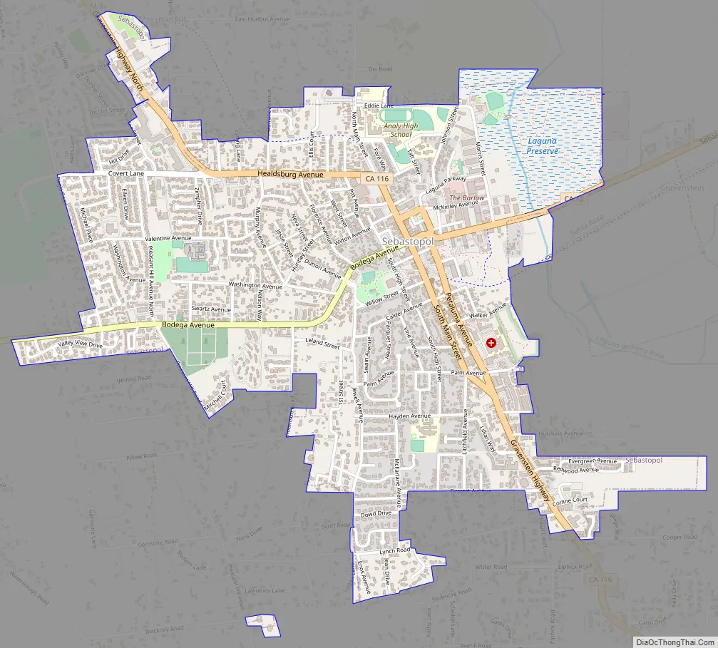
Online Interactive Map
Click on ![]() to view map in "full screen" mode.
to view map in "full screen" mode.
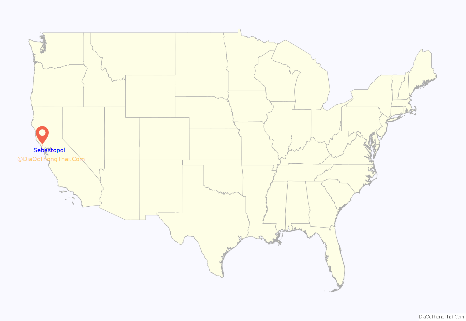
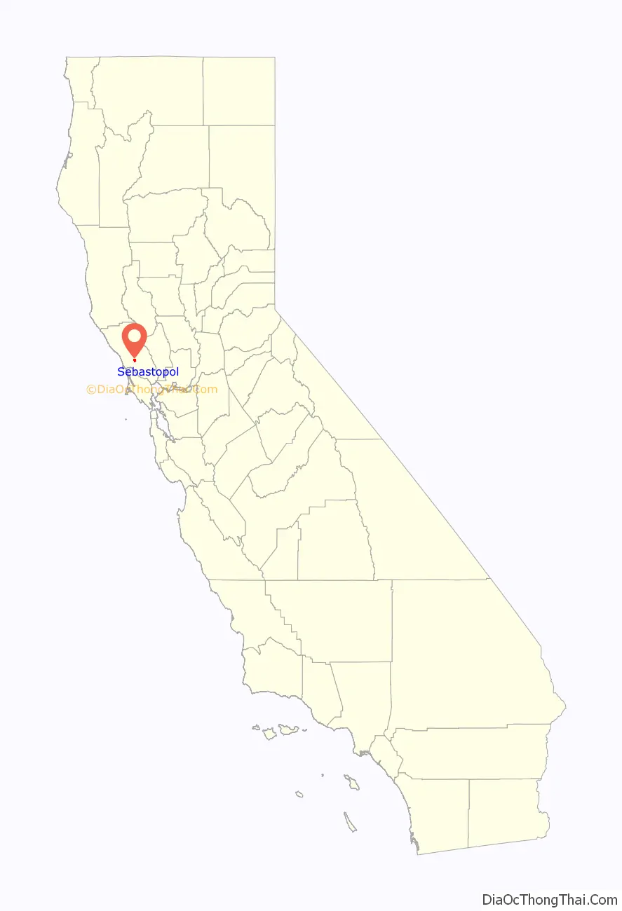
Sebastopol location map. Where is Sebastopol city?
History
The area’s first known inhabitants were the native Coast Miwok and Pomo peoples. The town currently sits atop multiple village sites. The town of Sebastopol formed in the 1850s with a U.S. Post Office and as a small trade center for the farmers of the surrounding agricultural region. As California’s population swelled after the westward migration and the California Gold Rush of 1848–1855, more and more settlers drifted into the fertile California valleys north of San Francisco to try their hand at farming.
There is some debate as to how the name “Sebastopol” came into use in Sonoma County. At one time, four other California towns were also named Sebastopol:
- one in Napa County, renamed Yountville
- one in Tulare County
- one in Sacramento County
- one in Nevada County
The town in Sonoma County originally had the name Pinegrove; the name change (according to rumor) had something to do with a bar fight in the late 1850s, which was compared by a bystander to the long British siege of the seaport of Sevastopol (1854–1855) during the Crimean War of 1853–1856. The original name survives in the name of the Pine Grove General Store downtown.
Sebastopol became known as the “Gravenstein Apple Capital of the World”. The apple industry brought a steady rural prosperity to the town. In 1890 the San Francisco and North Pacific Railroad connected Sebastopol to the national rail network. The town was incorporated in 1902, with schools, churches, hotels, canneries, mills, wineries, and an opera house to its credit. The 1906 earthquake reduced most of these early buildings to rubble (Sebastopol is only seven miles from the city of Santa Rosa, the worst-hit town in the 1906 earthquake), but as elsewhere in the county, the town was rebuilt.
In the second half of the 20th century, the apple industry struggled to compete with other apple-producing regions and gradually declined in economic significance. With greater personal mobility and the rise of larger shopping centers in other Sonoma County communities, many residents now often commute to work and shop in the neighboring towns of Rohnert Park or Santa Rosa, while Sebastopol maintains its small-town charm.
It is often incorrectly claimed that Sebastopol was the last town in Northern California to have working railroad trains on Main Street. The tracks were removed in the late 1980s. Passenger service had ceased in the 1930s, and regular freight service ended in the late 1970s. This was documented by Analy High School students in a 1979 video Our Train Down Main: a History of the Petaluma and Santa Rosa Railroad. The canneries and apple-processing plant are gone from downtown, and vineyards and housing developments have replaced many apple orchards, reducing the demand for freight service.
It is often also incorrectly stated that the tracks were removed in the 1990s when the downtown area was redesigned with two one-way streets to enhance traffic along Gravenstein Highway (Route 116). Main Street and Petaluma Avenue were actually designated one-way streets in 1985 in an attempt to deal with the town’s perennial traffic problem. As of 2016 the old train station houses the Western County Museum.
Sebastopol Road Map
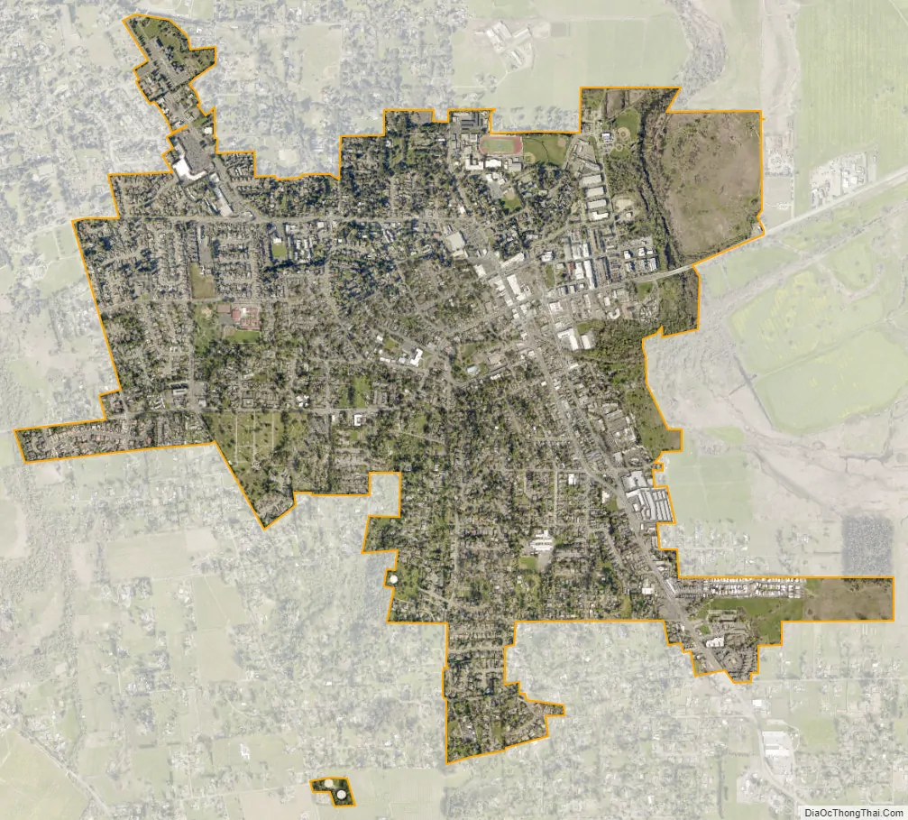
Sebastopol city Satellite Map
Geography
Sebastopol’s elevation is 65 to 250 feet (20 to 76 meters) above sea level. Its downtown is at the intersection of State Route 12 and State Route 116 (Gravenstein Highway), approximately 9 mi (14 km) west of U.S. Route 101.
Sebastopol is situated on the edge of the Laguna de Santa Rosa, which is fed by Santa Rosa Creek and other tributaries, including three minor tributaries within the city limits – Zimpher Creek, Calder Creek and Witter Creek. The Laguna is a wetland area that is home to many species of wildlife and vegetation and divides the town from neighboring Santa Rosa. Nearly every winter the Laguna floods, cutting off State Route 12, and often flooding the low-lying businesses and homes on the eastern side of Sebastopol. The Pitkin Marsh lily and White sedge are two rare species of plants that are found in the vicinity of Sebastopol.
The city has a total area of 1.9 sq mi (4.9 km), all land.
See also
Map of California State and its subdivision:- Alameda
- Alpine
- Amador
- Butte
- Calaveras
- Colusa
- Contra Costa
- Del Norte
- El Dorado
- Fresno
- Glenn
- Humboldt
- Imperial
- Inyo
- Kern
- Kings
- Lake
- Lassen
- Los Angeles
- Madera
- Marin
- Mariposa
- Mendocino
- Merced
- Modoc
- Mono
- Monterey
- Napa
- Nevada
- Orange
- Placer
- Plumas
- Riverside
- Sacramento
- San Benito
- San Bernardino
- San Diego
- San Francisco
- San Joaquin
- San Luis Obispo
- San Mateo
- Santa Barbara
- Santa Clara
- Santa Cruz
- Shasta
- Sierra
- Siskiyou
- Solano
- Sonoma
- Stanislaus
- Sutter
- Tehama
- Trinity
- Tulare
- Tuolumne
- Ventura
- Yolo
- Yuba
- Alabama
- Alaska
- Arizona
- Arkansas
- California
- Colorado
- Connecticut
- Delaware
- District of Columbia
- Florida
- Georgia
- Hawaii
- Idaho
- Illinois
- Indiana
- Iowa
- Kansas
- Kentucky
- Louisiana
- Maine
- Maryland
- Massachusetts
- Michigan
- Minnesota
- Mississippi
- Missouri
- Montana
- Nebraska
- Nevada
- New Hampshire
- New Jersey
- New Mexico
- New York
- North Carolina
- North Dakota
- Ohio
- Oklahoma
- Oregon
- Pennsylvania
- Rhode Island
- South Carolina
- South Dakota
- Tennessee
- Texas
- Utah
- Vermont
- Virginia
- Washington
- West Virginia
- Wisconsin
- Wyoming


