Baldwin is a town in St. Mary Parish, Louisiana, United States. The population was 2,436 at the 2010 census, down from 2,497 in 2000. It is part of the Morgan City Micropolitan Statistical Area.
The community was named for John Baldwin, the Ohio educator who founded what would later become Baldwin-Wallace University. In 1867, Baldwin purchased the Darby plantation in Louisiana, a plantation of about 1,700 acres (6.9 km). His residence there, Darby House, remained in his family until 1937 and is now listed on the National Register of Historic Places.
The Louisiana physician and politician Alvan Lafargue practiced in Baldwin, his wife’s hometown, prior to 1915.
| Name: | Baldwin town |
|---|---|
| LSAD Code: | 43 |
| LSAD Description: | town (suffix) |
| State: | Louisiana |
| County: | St. Mary Parish |
| Elevation: | 16 ft (5 m) |
| Total Area: | 3.23 sq mi (8.36 km²) |
| Land Area: | 3.22 sq mi (8.33 km²) |
| Water Area: | 0.01 sq mi (0.02 km²) |
| Total Population: | 1,762 |
| Population Density: | 547.72/sq mi (211.47/km²) |
| Area code: | 337 |
| FIPS code: | 2204020 |
Online Interactive Map
Click on ![]() to view map in "full screen" mode.
to view map in "full screen" mode.
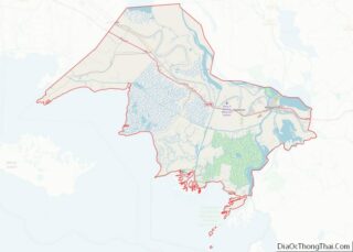
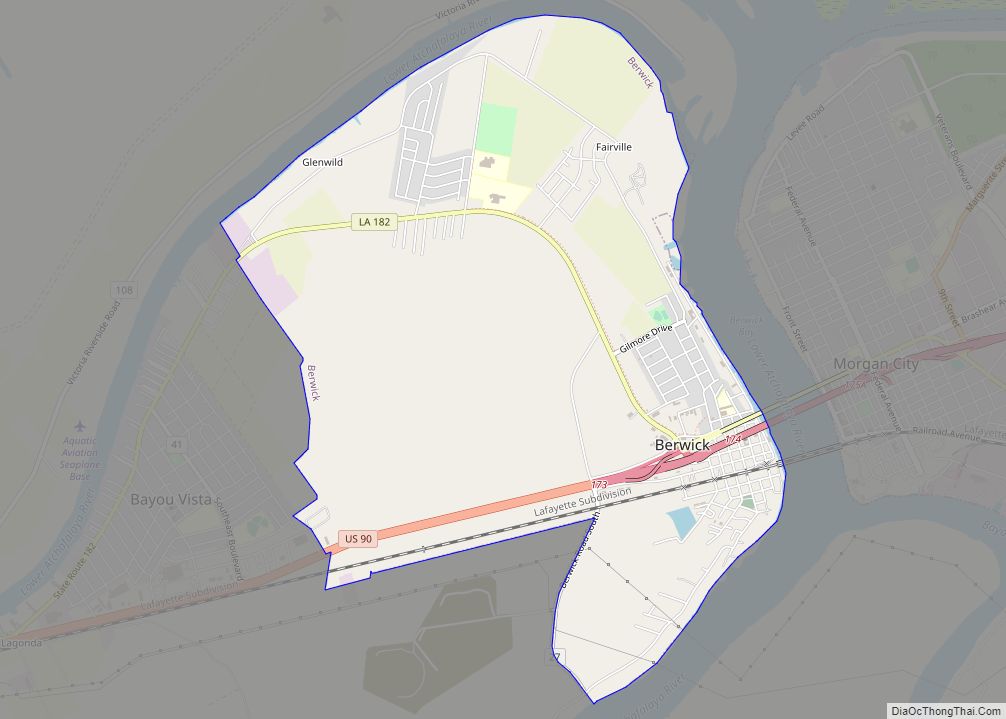
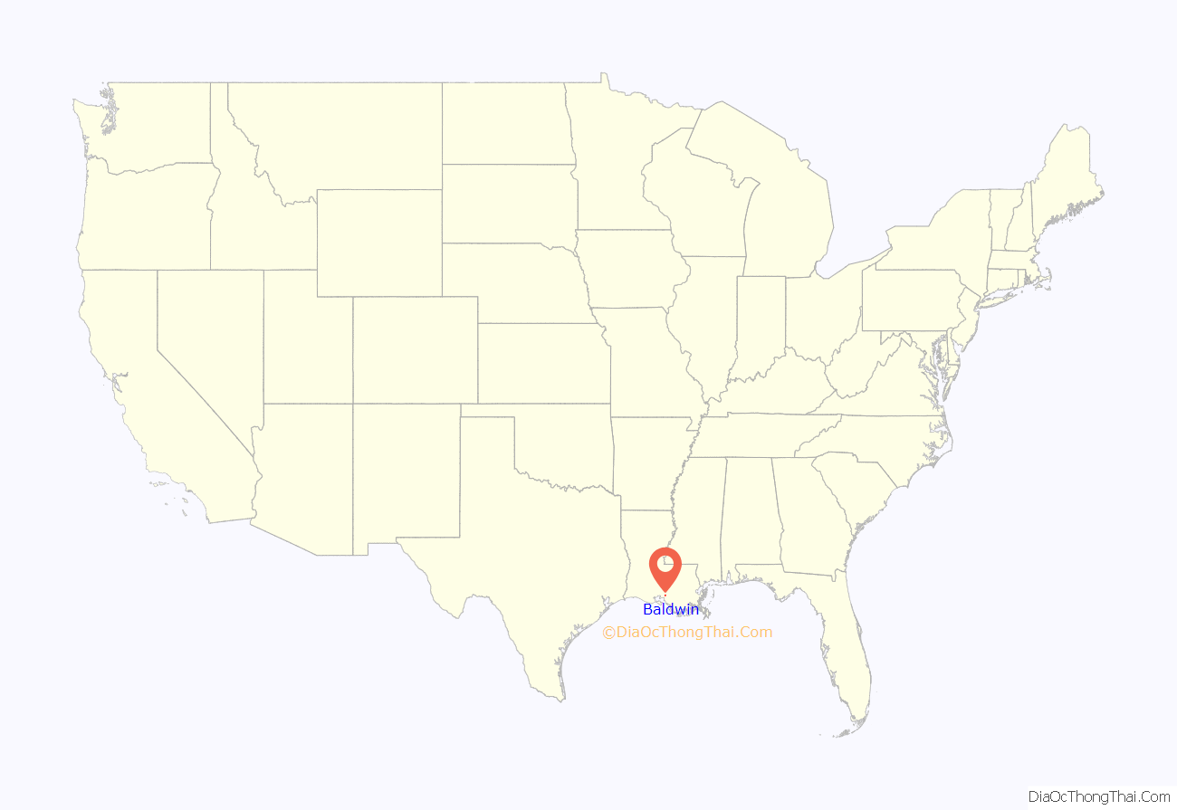
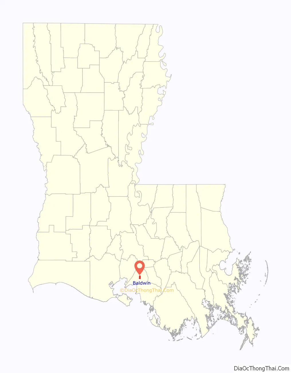
Baldwin location map. Where is Baldwin town?
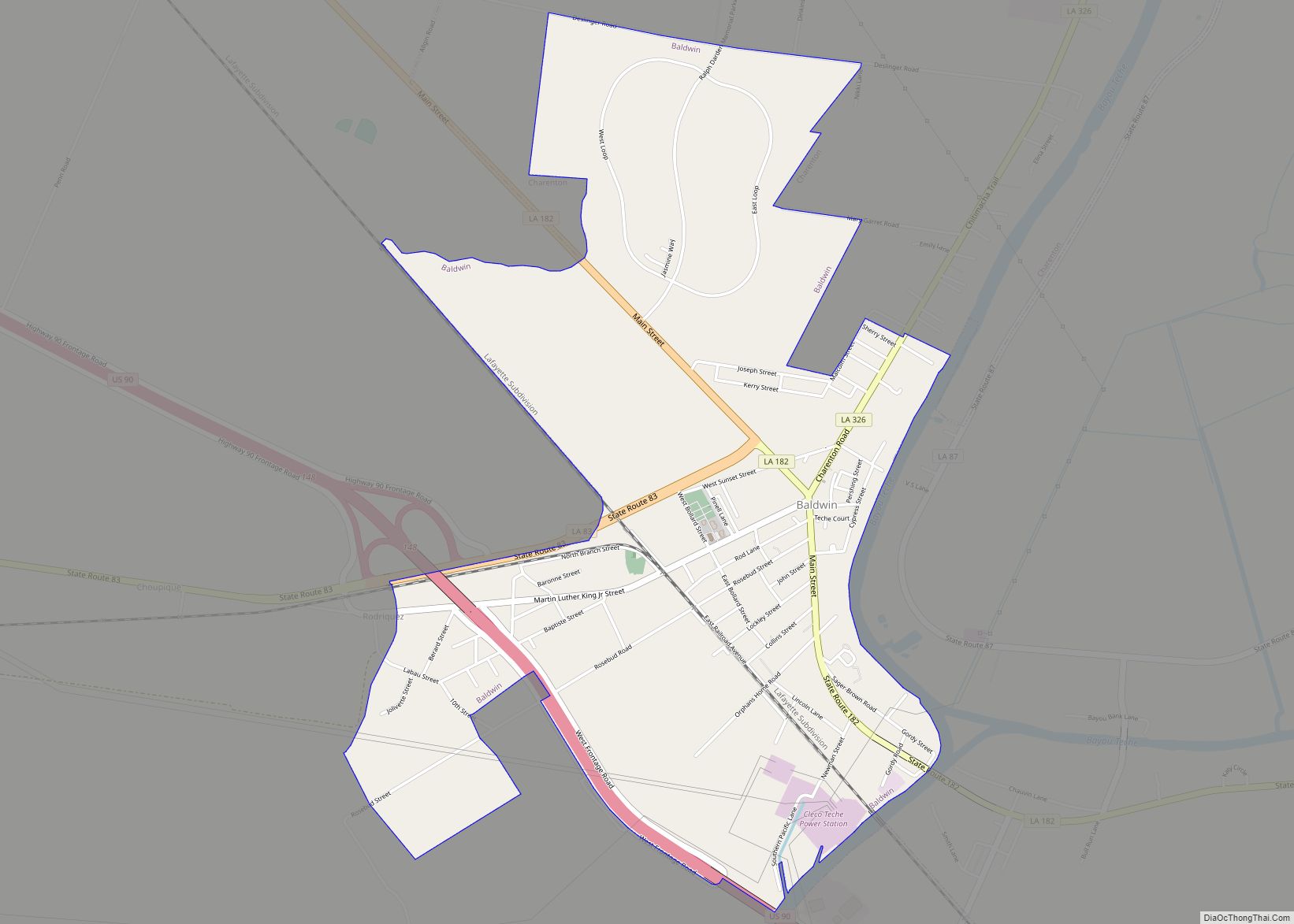
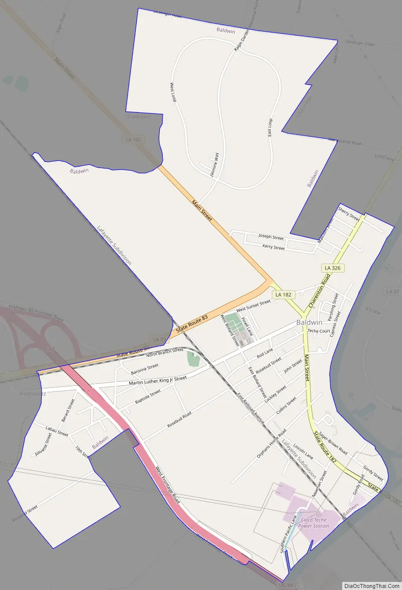
Baldwin Road Map
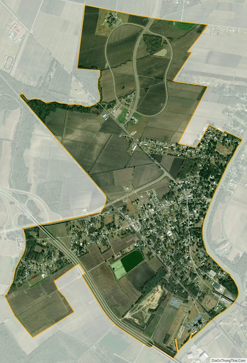
Baldwin city Satellite Map
Geography
Baldwin is located at 29°50′10″N 91°32′56″W / 29.83611°N 91.54889°W / 29.83611; -91.54889 (29.836039, -91.548799).
Louisiana Highway 182, which passes throughout the entire town, travels 9 miles (14 km) northwest to Jeanerette and 5 miles (8 km) southeast to Franklin, the St. Mary Parish seat. Louisiana Highway 83, which intersects with LA-182, travels southwest from Baldwin to the unincorporated communities of Louisa, Glencoe, and Four Corners and heads back northwest to intersect with Louisiana Highway 14 in New Iberia.
Cypremort Point State Park is located 22 miles (35 km) southwest of Baldwin.
According to the United States Census Bureau, the town has a total area of 3.2 square miles (8.3 km), all land.
See also
Map of Louisiana State and its subdivision:- Acadia
- Allen
- Ascension
- Assumption
- Avoyelles
- Beauregard
- Bienville
- Bossier
- Caddo
- Calcasieu
- Caldwell
- Cameron
- Catahoula
- Claiborne
- Concordia
- De Soto
- East Baton Rouge
- East Carroll
- East Feliciana
- Evangeline
- Franklin
- Grant
- Iberia
- Iberville
- Jackson
- Jefferson
- Jefferson Davis
- La Salle
- Lafayette
- Lafourche
- Lincoln
- Livingston
- Madison
- Morehouse
- Natchitoches
- Orleans
- Ouachita
- Plaquemines
- Pointe Coupee
- Rapides
- Red River
- Richland
- Sabine
- Saint Bernard
- Saint Charles
- Saint Helena
- Saint James
- Saint John the Baptist
- Saint Landry
- Saint Martin
- Saint Mary
- Saint Tammany
- Tangipahoa
- Tensas
- Terrebonne
- Union
- Vermilion
- Vernon
- Washington
- Webster
- West Baton Rouge
- West Carroll
- West Feliciana
- Winn
- Alabama
- Alaska
- Arizona
- Arkansas
- California
- Colorado
- Connecticut
- Delaware
- District of Columbia
- Florida
- Georgia
- Hawaii
- Idaho
- Illinois
- Indiana
- Iowa
- Kansas
- Kentucky
- Louisiana
- Maine
- Maryland
- Massachusetts
- Michigan
- Minnesota
- Mississippi
- Missouri
- Montana
- Nebraska
- Nevada
- New Hampshire
- New Jersey
- New Mexico
- New York
- North Carolina
- North Dakota
- Ohio
- Oklahoma
- Oregon
- Pennsylvania
- Rhode Island
- South Carolina
- South Dakota
- Tennessee
- Texas
- Utah
- Vermont
- Virginia
- Washington
- West Virginia
- Wisconsin
- Wyoming