Calhoun is an unincorporated community and census-designated place in Ouachita Parish, Louisiana, United States. It is named after Archibald Calhoun, who was an original settler and landowner. Its elevation is 177 feet (54 m), and it is located at 32°30′46″N 92°21′31″W / 32.51278°N 92.35861°W / 32.51278; -92.35861 (32.5126469, -92.3584744). Calhoun is unincorporated (no local government) and is governed by the parish through a board of commissioners known as the Police Jury. It is a census designated place and at the time of the most recent United States Census Survey, the population was 1,965.
Calhoun is located in a rural area with a landscape mixture of hills and woodlands on the former transcontinental route U.S. 80 near Interstate 20, approximately 10 miles west of West Monroe. It has experienced a large growth in population recently, due to many retail, restaurant, and entertainment venues nearby, as well as three local universities, but it also attracts young families raising children due to four public schools located in the community that all consistently place in the top percentile in achievement.
Former U.S. Representative Newt V. Mills of Louisiana was born in Calhoun, as was the late Caddo Parish Sheriff James M. Goslin.
Arkansas Republican former state chairman Ken Coon was reared in Calhoun.
Zach Dasher, a candidate for Louisiana’s 5th congressional district seat in the November 4 primary election, resides in Calhoun.
| Name: | Calhoun CDP |
|---|---|
| LSAD Code: | 57 |
| LSAD Description: | CDP (suffix) |
| State: | Louisiana |
| County: | Ouachita Parish |
| Elevation: | 100 ft (30 m) |
| Total Area: | 2.36 sq mi (6.12 km²) |
| Land Area: | 2.36 sq mi (6.12 km²) |
| Water Area: | 0.00 sq mi (0.00 km²) |
| Total Population: | 670 |
| Population Density: | 283.66/sq mi (109.54/km²) |
| ZIP code: | 71225 |
| Area code: | 318 |
| FIPS code: | 2211825 |
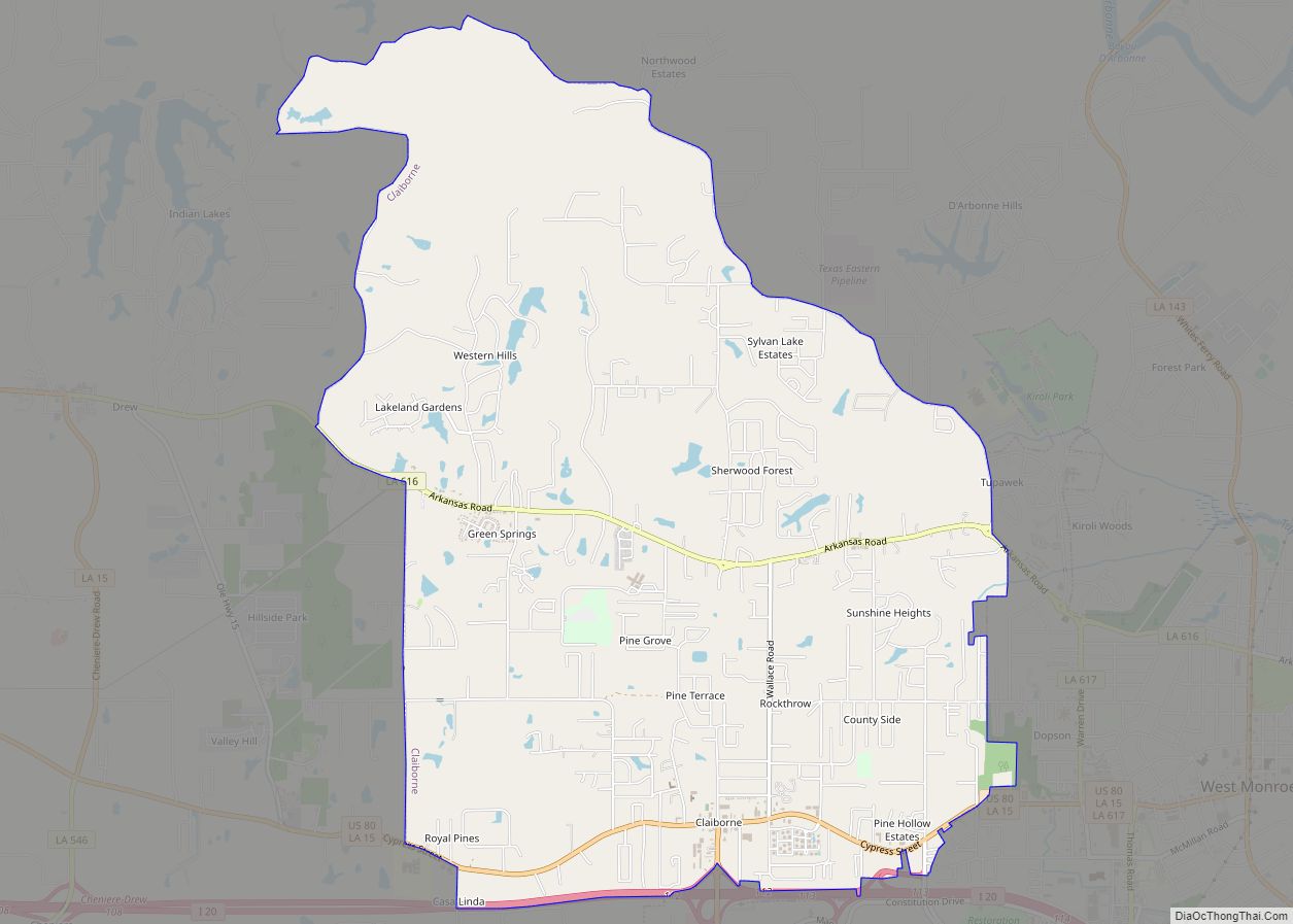
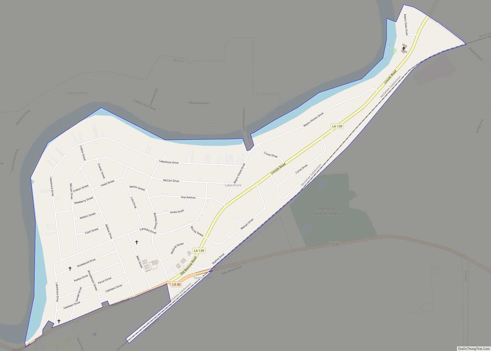
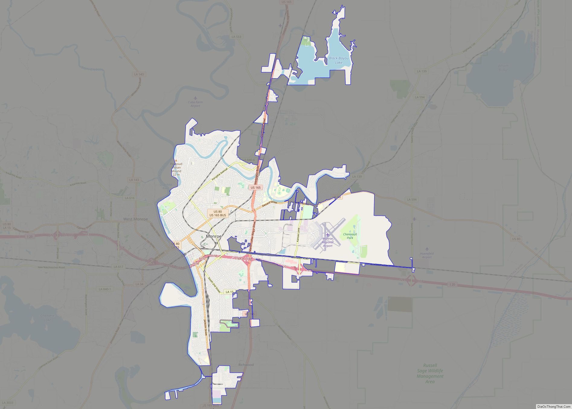
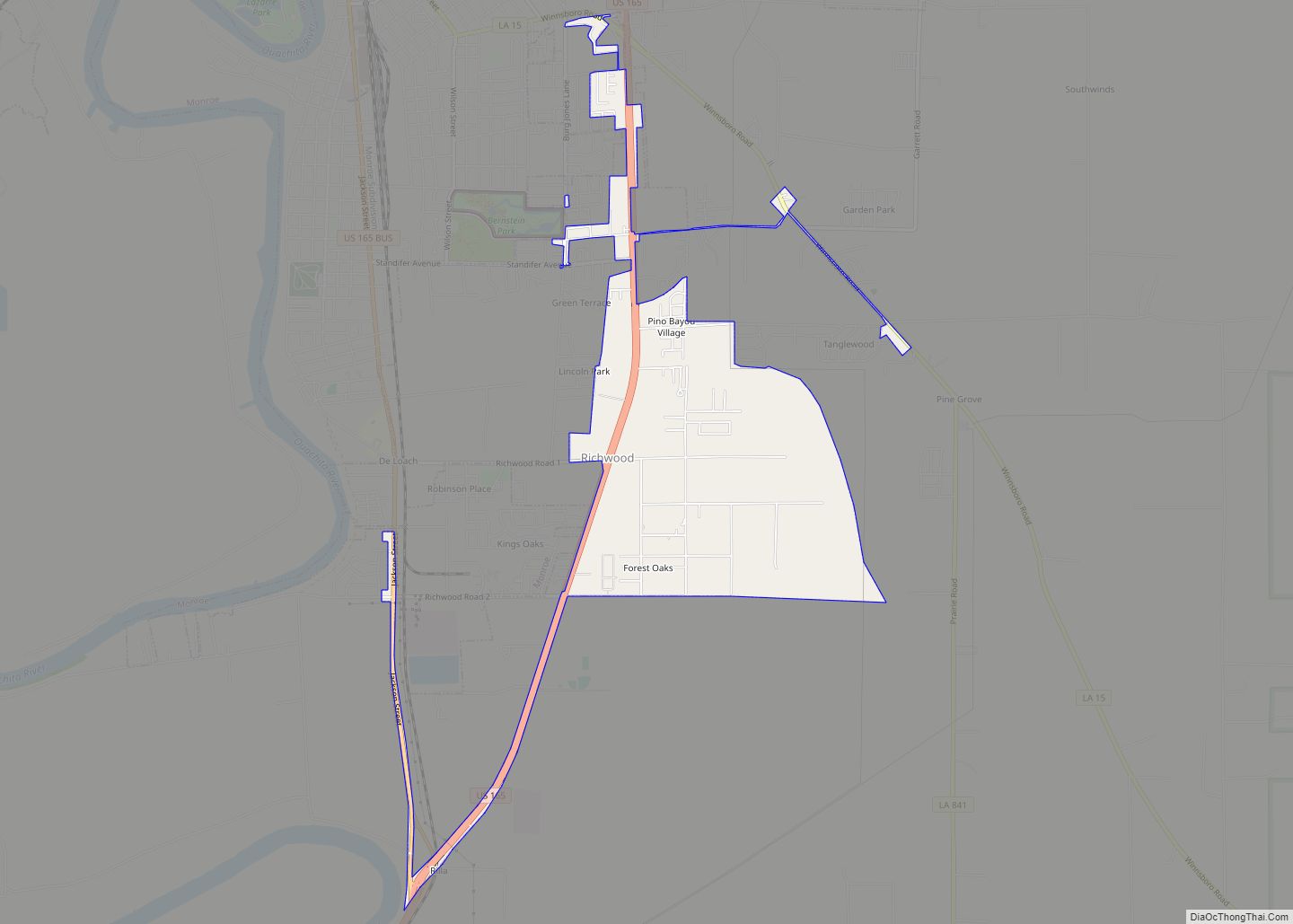
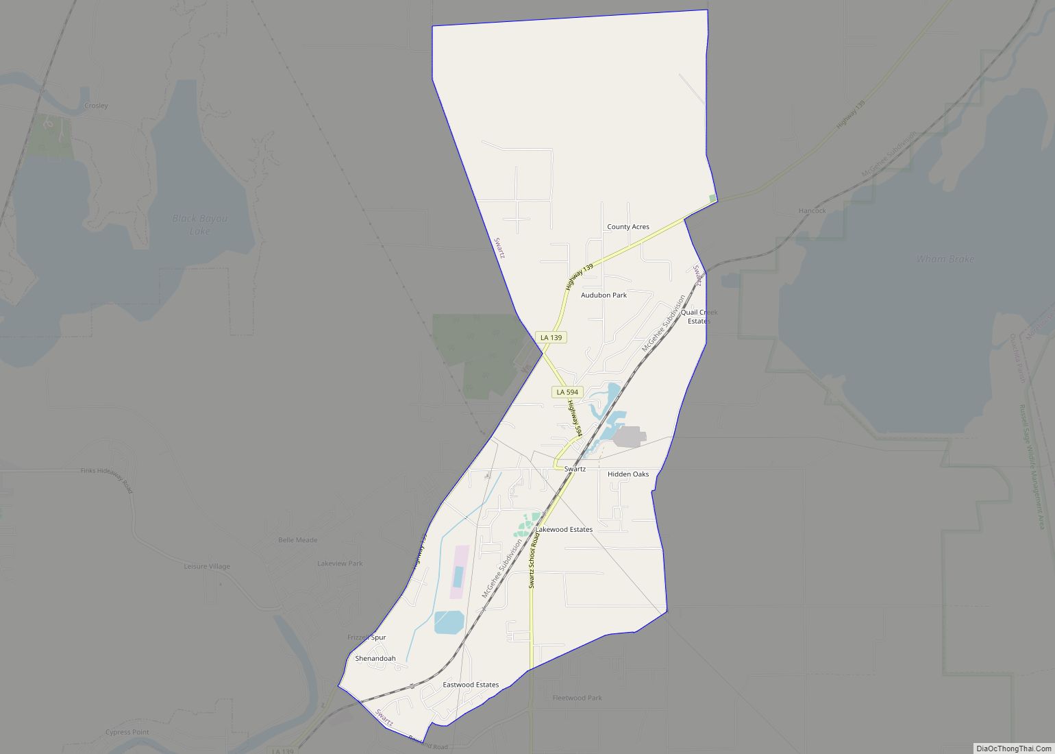
Online Interactive Map
Click on ![]() to view map in "full screen" mode.
to view map in "full screen" mode.
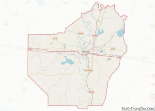
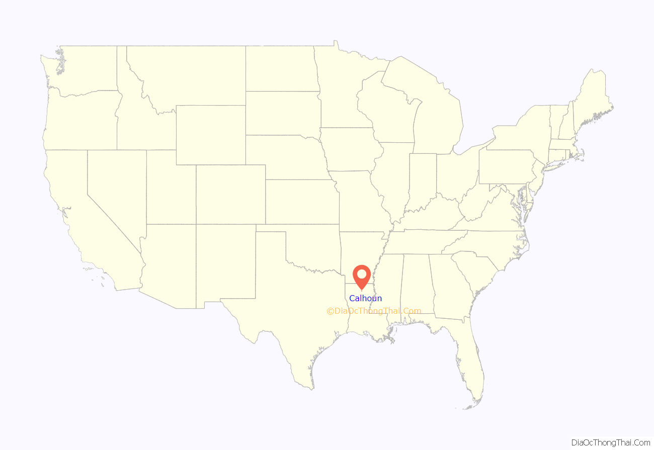
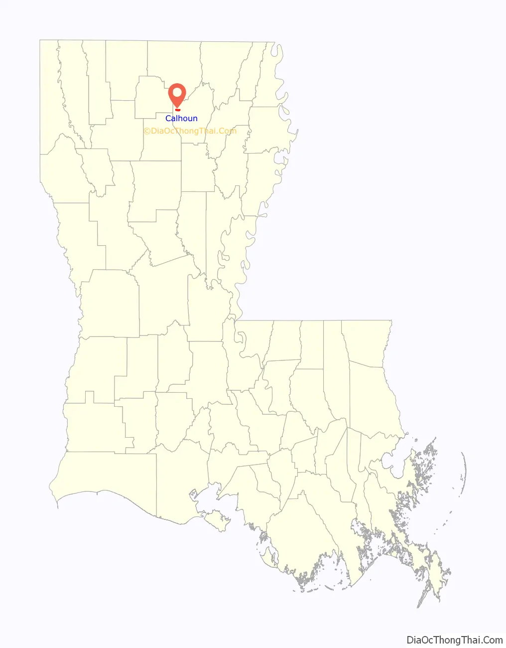
Calhoun location map. Where is Calhoun CDP?
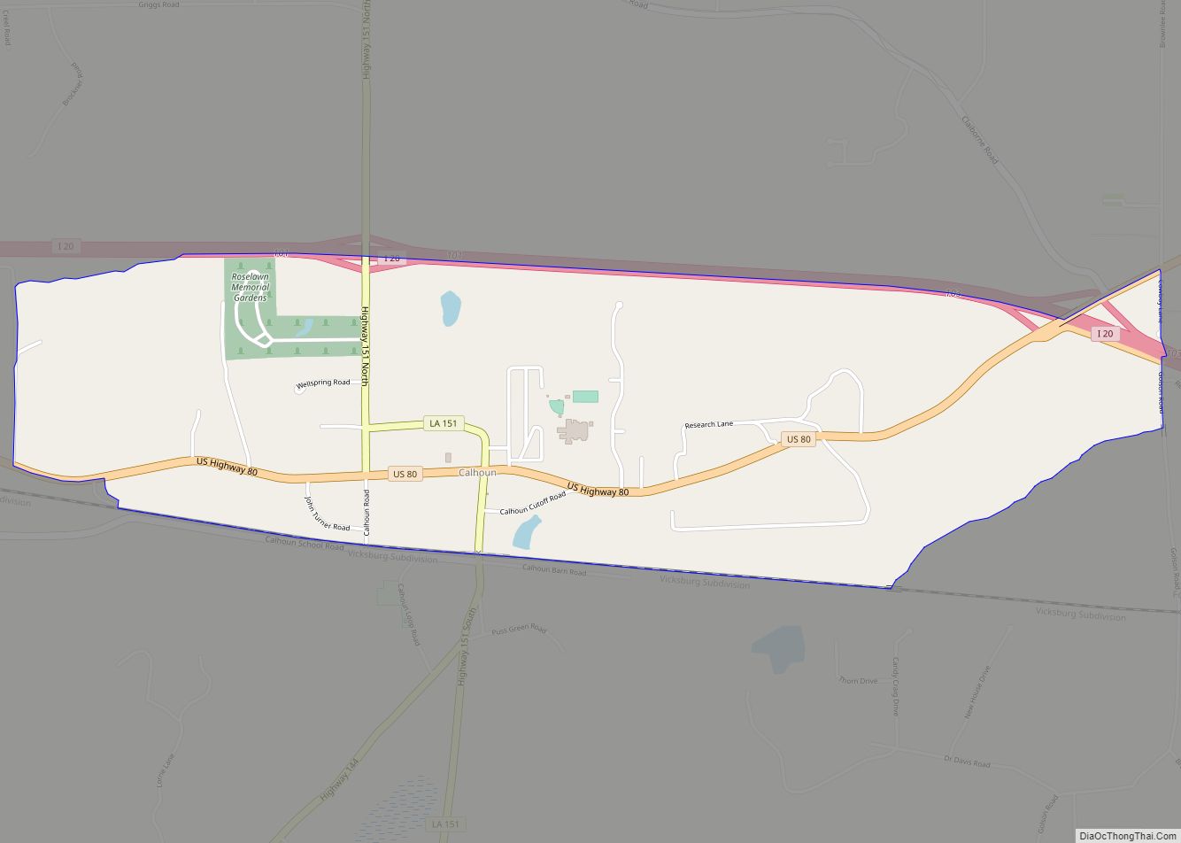
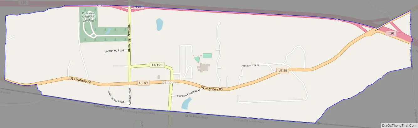
Calhoun Road Map
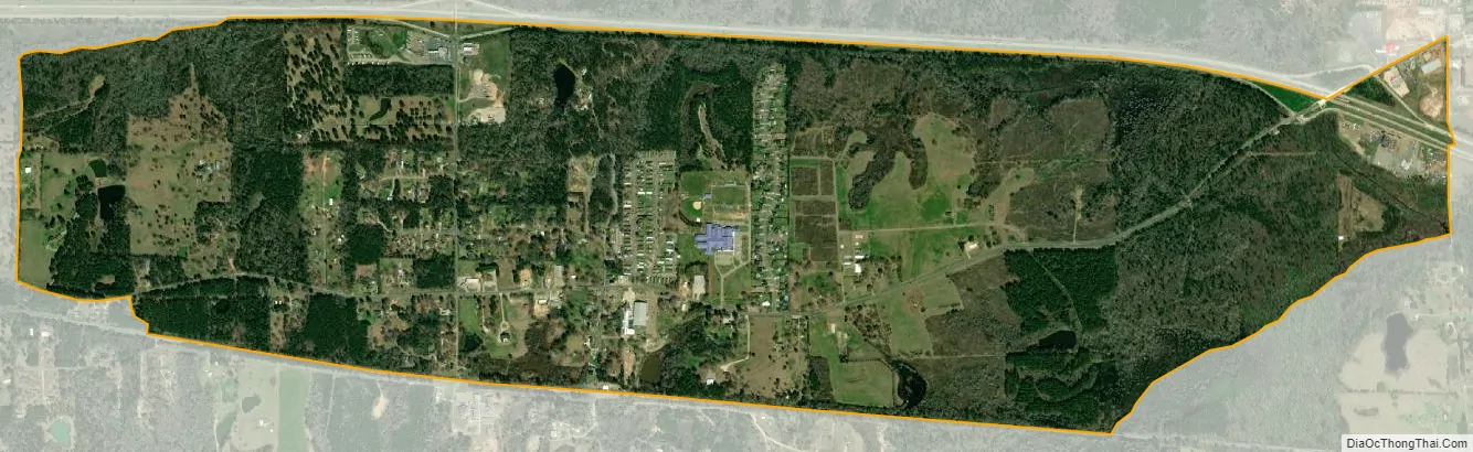
Calhoun city Satellite Map
See also
Map of Louisiana State and its subdivision:- Acadia
- Allen
- Ascension
- Assumption
- Avoyelles
- Beauregard
- Bienville
- Bossier
- Caddo
- Calcasieu
- Caldwell
- Cameron
- Catahoula
- Claiborne
- Concordia
- De Soto
- East Baton Rouge
- East Carroll
- East Feliciana
- Evangeline
- Franklin
- Grant
- Iberia
- Iberville
- Jackson
- Jefferson
- Jefferson Davis
- La Salle
- Lafayette
- Lafourche
- Lincoln
- Livingston
- Madison
- Morehouse
- Natchitoches
- Orleans
- Ouachita
- Plaquemines
- Pointe Coupee
- Rapides
- Red River
- Richland
- Sabine
- Saint Bernard
- Saint Charles
- Saint Helena
- Saint James
- Saint John the Baptist
- Saint Landry
- Saint Martin
- Saint Mary
- Saint Tammany
- Tangipahoa
- Tensas
- Terrebonne
- Union
- Vermilion
- Vernon
- Washington
- Webster
- West Baton Rouge
- West Carroll
- West Feliciana
- Winn
- Alabama
- Alaska
- Arizona
- Arkansas
- California
- Colorado
- Connecticut
- Delaware
- District of Columbia
- Florida
- Georgia
- Hawaii
- Idaho
- Illinois
- Indiana
- Iowa
- Kansas
- Kentucky
- Louisiana
- Maine
- Maryland
- Massachusetts
- Michigan
- Minnesota
- Mississippi
- Missouri
- Montana
- Nebraska
- Nevada
- New Hampshire
- New Jersey
- New Mexico
- New York
- North Carolina
- North Dakota
- Ohio
- Oklahoma
- Oregon
- Pennsylvania
- Rhode Island
- South Carolina
- South Dakota
- Tennessee
- Texas
- Utah
- Vermont
- Virginia
- Washington
- West Virginia
- Wisconsin
- Wyoming